Samuel's Wood

Wood, Forest in Stirlingshire

Scotland

Samuel's Wood

Killearn church This church was built in 1882.
Killearn church Credit: Kevin Rae

Samuel's Wood, located in Stirlingshire, Scotland, is a picturesque forest spanning over a vast area. It is renowned for its lush greenery, diverse flora and fauna, and tranquil atmosphere. The wood is named after Samuel, a local landowner who dedicated his efforts to preserving and maintaining this natural gem.

The woodland is predominantly composed of native tree species, such as oak, birch, and pine. These majestic trees create a dense canopy that provides shade and shelter to the forest floor. The undergrowth is a tapestry of vibrant wildflowers, ferns, and mosses, adding to the beauty of the woodland.

Samuel's Wood is home to a wide variety of wildlife, making it a haven for nature enthusiasts and birdwatchers. The forest is teeming with bird species, including robins, blackbirds, and woodpeckers. Visitors may also spot mammals such as red deer, foxes, and squirrels, as they navigate through the underbrush.

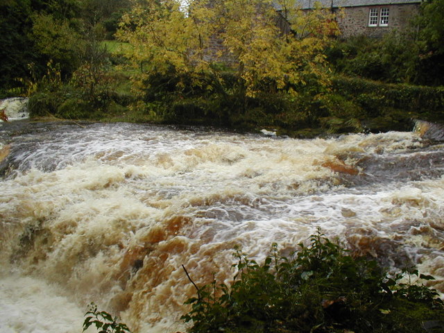
The wood offers numerous trails and paths, allowing visitors to explore its natural wonders at their own pace. Hiking through the forest, one can discover hidden streams, small waterfalls, and serene ponds. These features enhance the overall tranquility of the woodland, providing a peaceful escape from the bustle of everyday life.

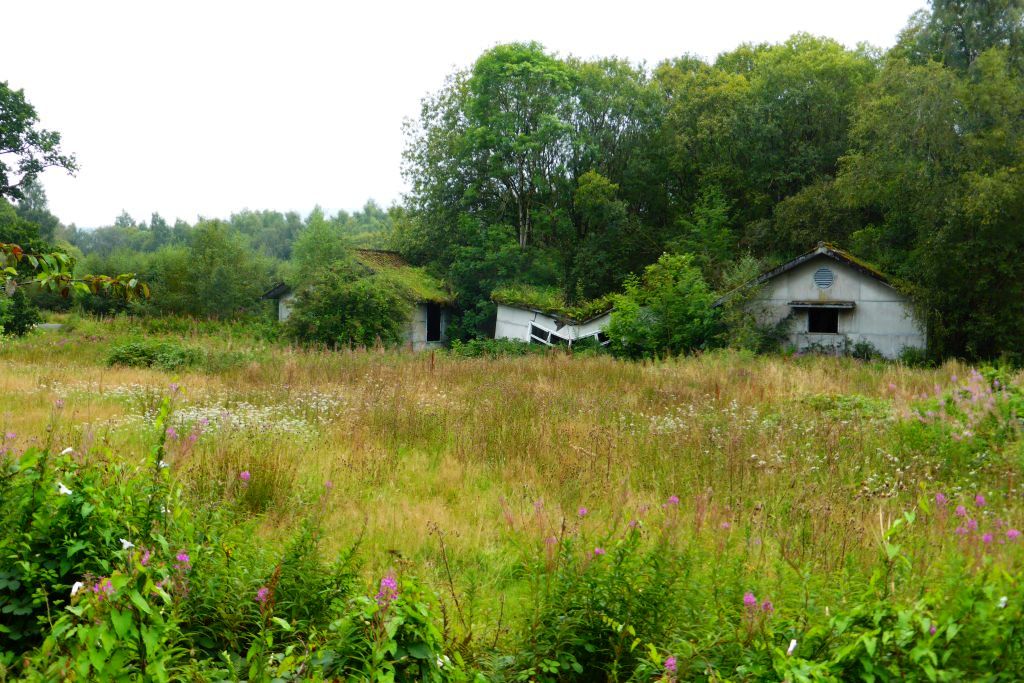
Samuel's Wood is not only a haven for wildlife but also an important conservation site. Efforts are made to protect and preserve the delicate ecosystem, ensuring the sustainability of this natural treasure for generations to come. The forest offers a unique opportunity to immerse oneself in the beauty of nature and experience the serenity of an ancient woodland.

If you have any feedback on the listing, please let us know in the comments section below.

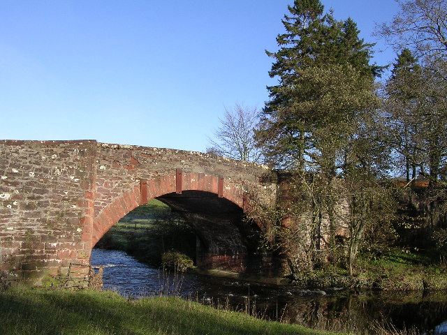
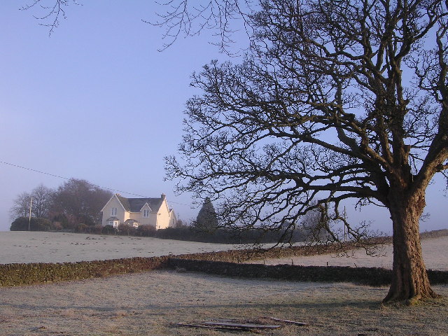
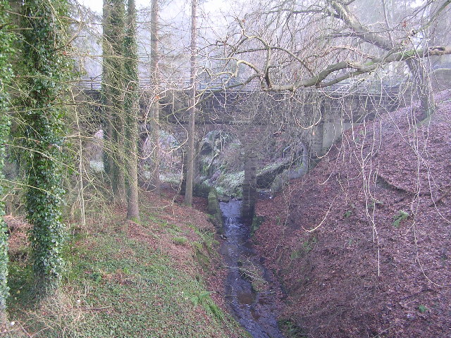
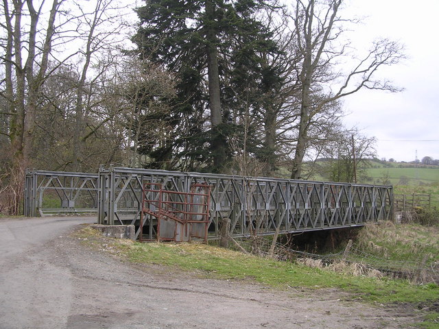
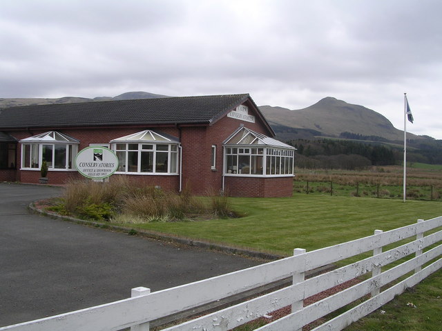
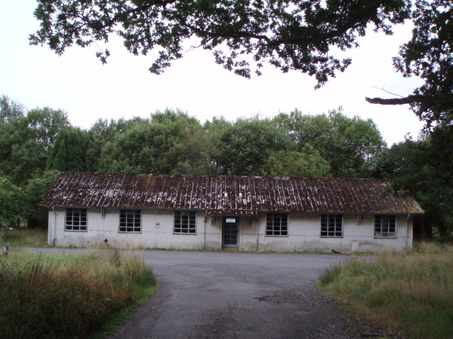
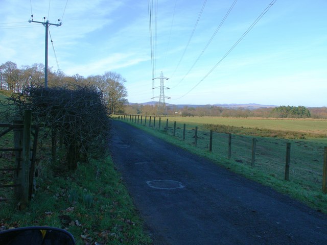
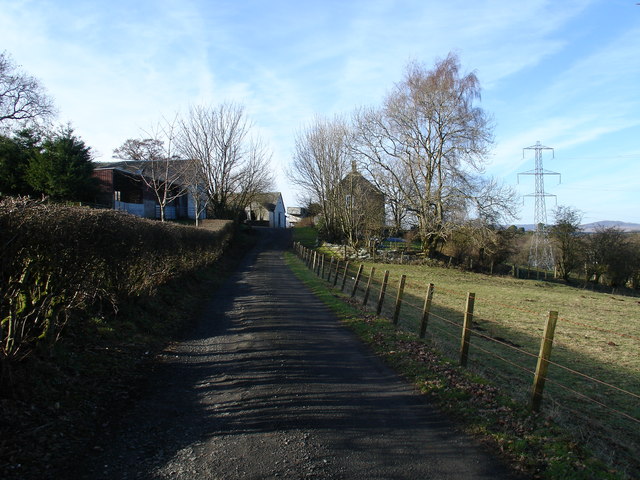
Samuel's Wood Images

Images are sourced within 2km of 56.037655/-4.3931976 or Grid Reference NS5085. Thanks to Geograph Open Source API. All images are credited.

Killearn church This church was built in 1882.
Killearn church
This church was built in 1882.
Blane Bridge Spans the Blane Water
Blane Bridge
Spans the Blane Water
Last House in Killearn Before hitting open countryside to the south west
Last House in Killearn
Before hitting open countryside to the south west
Killearn Churches on Remembrance Sunday
Killearn Cemetery and The Firs
West Highland Way at Gartness Running along the course of a disused railway
West Highland Way at Gartness
Running along the course of a disused railway
High Lettre Farm, Killearn A collection of photos from geograph contributors around the British Isles and Ireland.
See them on a map <a title="https://www.geograph.org.uk/search.php?i=134495916" href="https://www.geograph.org.uk/search.php?i=134495916">Link</a>
High Lettre Farm, Killearn
A collection of photos from geograph contributors around the British Isles and Ireland. See them on a map Link
Aqueduct across Kirkhouse Burn, Killearn This is carrying the water pipes from Loch Katrine to Glasgow
Aqueduct across Kirkhouse Burn, Killearn
This is carrying the water pipes from Loch Katrine to Glasgow
Gartness Bridge
Gartness Bridge
Moss Bridge, near Dumgoyne The bridge spans the Blane Water which flows through Strathblane
Moss Bridge, near Dumgoyne
The bridge spans the Blane Water which flows through Strathblane
Cairn Conservatories, near Dumgoyne Conservatory sales centre on very dangerous bend in the A81. Site of several serious and fatal road accidents.
Cairn Conservatories, near Dumgoyne
Conservatory sales centre on very dangerous bend in the A81. Site of several serious and fatal road accidents.
Derelict Buildings Derelict buildings to the east of Killearn House. A new roundabout has just been built opposite.
Derelict Buildings
Derelict buildings to the east of Killearn House. A new roundabout has just been built opposite.
Blaneswell Pylons
Blaneswell Pylons
Carston Farm
Carston Farm
Weir on River Endrick River in Spate
Weir on River Endrick
River in Spate
River Endrick waterfall This area is a very popular spot for watching salmon leap up the falls.  This picture was taken when the river was in spate.  Normally there are three main channels and the drop is about 15 feet. Today the drop was about 5 feet
River Endrick waterfall
This area is a very popular spot for watching salmon leap up the falls. This picture was taken when the river was in spate. Normally there are three main channels and the drop is about 15 feet. Today the drop was about 5 feet
Parish Church The Church and Obelisk at Killearn on the main road through the town.
Parish Church
The Church and Obelisk at Killearn on the main road through the town.
Killearn An image of the main street Killearn on a winter's day.
Killearn
An image of the main street Killearn on a winter's day.
Show me another place!

Samuel's Wood is located at Grid Ref: NS5085 (Lat: 56.037655, Lng: -4.3931976)

Unitary Authority: Stirling

Police Authority: Forth Valley

What 3 Words

///pickle.dude.asked. Near Killearn, Stirling

Nearby Locations

Samuel's Wood Blane Wood

Related Wikis

Killearn railway station

Killearn railway station served the village of Killearn, Stirling, Scotland from 1882 to 1951 on the Blane Valley Railway. == History == The station opened...

Killearn Hospital

Killearn Hospital was a health facility at Killearn in the Stirling council area of Scotland. == History == The hospital was established as one of seven...

Finnich Glen

Finnich Glen in Stirlingshire, is a short, steep glen up to 70 ft deep which runs east from Finnich Bridge on the A809. It was carved from the red sandstone...

Killearn

Killearn (Scottish Gaelic: Cill Fhearann, from orig. Ceann Fhearann, "Head/End of (the) Land/Territory" – until the 15th century when Ceann was replaced...

Related Videos

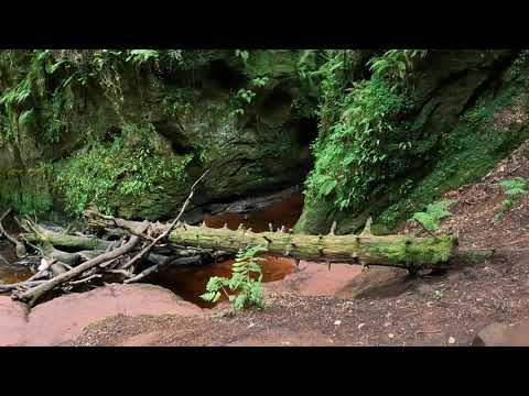
Walking around Finnich Glen

Walking around the lovely Finnich Glen in Scotland.

Nearby Amenities

Located within 500m of 56.037655,-4.3931976
Traffic Signals
Lat/Long: 56.0372351/-4.3995622
Mini Roundabout
Direction: clockwise
Lat/Long: 56.0370609/-4.3971793
Traffic Signals
Lat/Long: 56.0371822/-4.3997843
Bus Stop
Lat/Long: 56.0375157/-4.3953087
Bus Stop
Lat/Long: 56.0376199/-4.3952175
Power: pole
Lat/Long: 56.034711/-4.3893611
Power: pole
Lat/Long: 56.0353502/-4.3888708
Power: pole
Lat/Long: 56.035906/-4.3884458
Power: pole
Lat/Long: 56.0362843/-4.3881562
Power: pole
Lat/Long: 56.0370539/-4.3875958
Power: pole
Lat/Long: 56.0378627/-4.3869701
Power: pole
Lat/Long: 56.0386766/-4.386377
Power: pole
Lat/Long: 56.0376499/-4.3889867
Power: pole
Lat/Long: 56.0379459/-4.3896891
Power: pole
Lat/Long: 56.0388616/-4.3918767
Power: pole
Lat/Long: 56.0391714/-4.3926346
Power: pole
Lat/Long: 56.0395259/-4.3934665
Power: pole
Lat/Long: 56.0400141/-4.3955498
Power: pole
Lat/Long: 56.0401288/-4.3965025
Power: pole
Lat/Long: 56.0402253/-4.3973898
Power: pole
Lat/Long: 56.0386157/-4.3931634
Power: pole
Lat/Long: 56.0402181/-4.3979275
Power: pole
Lat/Long: 56.0402006/-4.3986575
Power: pole
Lat/Long: 56.0401878/-4.3994566
Power: pole
Lat/Long: 56.0398945/-4.4000799
Power: pole
Lat/Long: 56.0356251/-4.3869948
Power: pole
Lat/Long: 56.035817/-4.387328
The data included in this document is from www.openstreetmap.org. The data is made available under ODbL.

Have you been to Samuel's Wood?

Leave your review of Samuel's Wood below (or comments, questions and feedback).