Blane Wood

Wood, Forest in Stirlingshire

Scotland

Blane Wood

Blane Bridge Spans the Blane Water
Blane Bridge Credit: Chris Upson

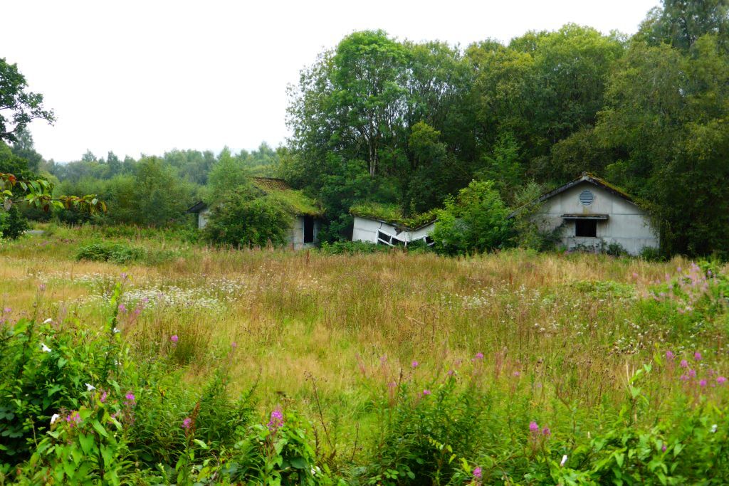
Blane Wood is a small forest located in Stirlingshire, Scotland. Covering an area of approximately 100 hectares, the woodland is a popular destination for nature lovers and outdoor enthusiasts. The forest is predominantly made up of native Scottish tree species such as oak, birch, and pine, creating a diverse and vibrant ecosystem.

Blane Wood is home to a variety of wildlife, including red squirrels, roe deer, and a wide range of bird species. Visitors to the forest can enjoy peaceful walks along well-maintained trails, taking in the sights and sounds of nature. There are also opportunities for birdwatching and wildlife spotting, making it a great destination for nature enthusiasts.

The forest is managed by the Forestry Commission Scotland, ensuring that it is well-maintained and preserved for future generations to enjoy. Blane Wood also plays an important role in carbon sequestration and biodiversity conservation, contributing to the overall health of the local environment. Overall, Blane Wood offers a peaceful and scenic retreat for those looking to escape the hustle and bustle of daily life and connect with nature.

If you have any feedback on the listing, please let us know in the comments section below.
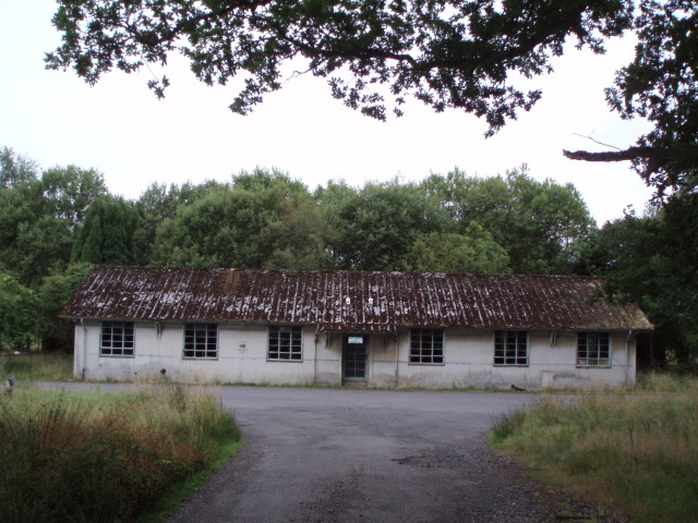
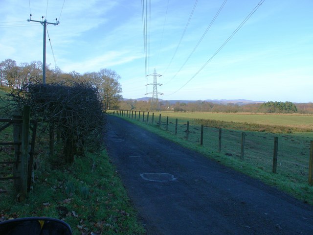
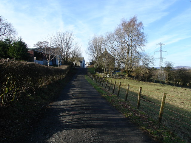
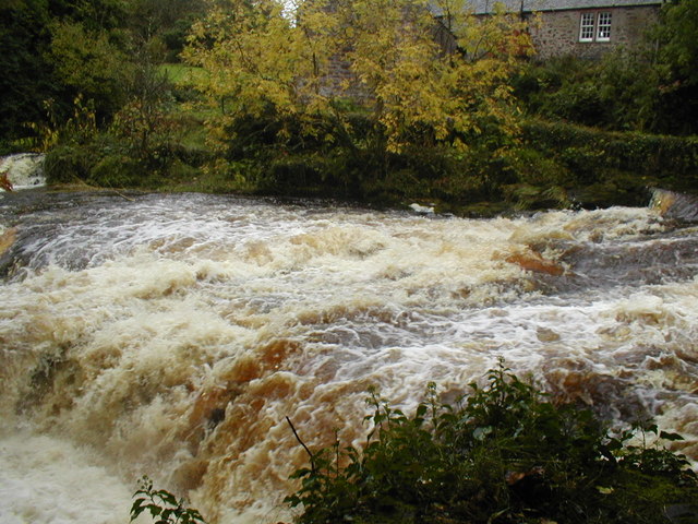
Blane Wood Images

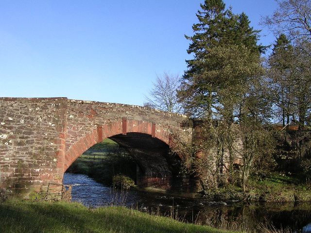
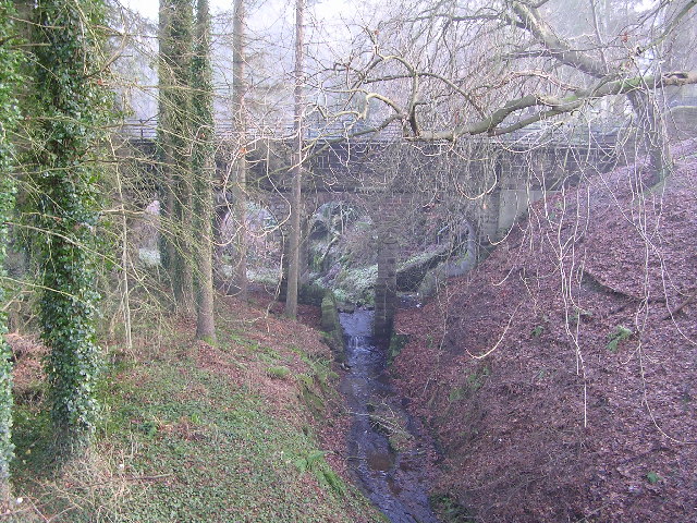
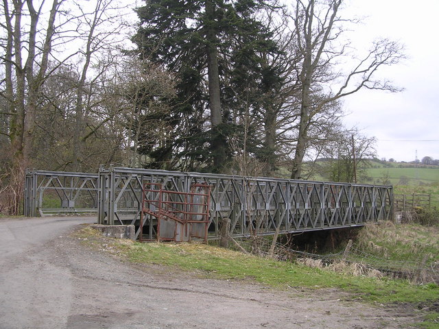
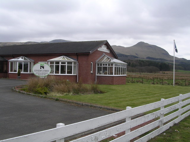
Images are sourced within 2km of 56.035762/-4.3971901 or Grid Reference NS5085. Thanks to Geograph Open Source API. All images are credited.

Blane Bridge Spans the Blane Water
Blane Bridge
Spans the Blane Water
Last House in Killearn Before hitting open countryside to the south west
Last House in Killearn
Before hitting open countryside to the south west
Killearn Churches on Remembrance Sunday
Killearn Cemetery and The Firs
West Highland Way at Gartness Running along the course of a disused railway
West Highland Way at Gartness
Running along the course of a disused railway
Aqueduct across Kirkhouse Burn, Killearn This is carrying the water pipes from Loch Katrine to Glasgow
Aqueduct across Kirkhouse Burn, Killearn
This is carrying the water pipes from Loch Katrine to Glasgow
Gartness Bridge
Gartness Bridge
Moss Bridge, near Dumgoyne The bridge spans the Blane Water which flows through Strathblane
Moss Bridge, near Dumgoyne
The bridge spans the Blane Water which flows through Strathblane
Cairn Conservatories, near Dumgoyne Conservatory sales centre on very dangerous bend in the A81. Site of several serious and fatal road accidents.
Cairn Conservatories, near Dumgoyne
Conservatory sales centre on very dangerous bend in the A81. Site of several serious and fatal road accidents.
Derelict Buildings Derelict buildings to the east of Killearn House. A new roundabout has just been built opposite.
Derelict Buildings
Derelict buildings to the east of Killearn House. A new roundabout has just been built opposite.
Blaneswell Pylons
Blaneswell Pylons
Carston Farm
Carston Farm
River Endrick waterfall This area is a very popular spot for watching salmon leap up the falls.  This picture was taken when the river was in spate.  Normally there are three main channels and the drop is about 15 feet. Today the drop was about 5 feet
River Endrick waterfall
This area is a very popular spot for watching salmon leap up the falls. This picture was taken when the river was in spate. Normally there are three main channels and the drop is about 15 feet. Today the drop was about 5 feet
Parish Church The Church and Obelisk at Killearn on the main road through the town.
Parish Church
The Church and Obelisk at Killearn on the main road through the town.
Killearn An image of the main street Killearn on a winter's day.
Killearn
An image of the main street Killearn on a winter's day.
The Black Bull Hotel and pub, Killearn.  The car park was being used for a small orienteering event. As ever in 2008, a wet evening.
The Black Bull
Hotel and pub, Killearn. The car park was being used for a small orienteering event. As ever in 2008, a wet evening.
Honeysuckle on the edge of the West Highland Way Honeysuckle on the edge of the West Highland Way near Laighparks.
Honeysuckle on the edge of the West Highland Way
Honeysuckle on the edge of the West Highland Way near Laighparks.
Weir from Gartness Bridge
Show me another place!

Blane Wood is located at Grid Ref: NS5085 (Lat: 56.035762, Lng: -4.3971901)

Unitary Authority: Stirling

Police Authority: Forth Valley

What 3 Words

///cries.uttering.safe. Near Killearn, Stirling

Nearby Locations

Blane Wood Samuel's Wood

Related Wikis

Killearn Hospital

Killearn Hospital was a health facility at Killearn in the Stirling council area of Scotland. == History == The hospital was established as one of seven...

Killearn railway station

Killearn railway station served the village of Killearn, Stirling, Scotland from 1882 to 1951 on the Blane Valley Railway. == History == The station opened...

Finnich Glen

Finnich Glen in Stirlingshire, is a short, steep glen up to 70 ft deep which runs east from Finnich Bridge on the A809. It was carved from the red sandstone...

Gartness

Gartness is a hamlet in Stirling, Scotland. It is located 1.8 miles/2.9 km from Killearn and 3.1 miles/5 km from Drymen. Most pupils attend Killearn Primary...

Nearby Amenities

Located within 500m of 56.035762,-4.3971901
Traffic Signals
Lat/Long: 56.0372351/-4.3995622
Mini Roundabout
Direction: clockwise
Lat/Long: 56.0370609/-4.3971793
Traffic Signals
Lat/Long: 56.0371822/-4.3997843
Bus Stop
Lat/Long: 56.0375157/-4.3953087
Bus Stop
Lat/Long: 56.0376199/-4.3952175
Power: pole
Lat/Long: 56.034711/-4.3893611
Power: pole
Lat/Long: 56.0388616/-4.3918767
Power: pole
Lat/Long: 56.0391714/-4.3926346
Power: pole
Lat/Long: 56.0395259/-4.3934665
Power: pole
Lat/Long: 56.0400141/-4.3955498
Power: pole
Lat/Long: 56.0401288/-4.3965025
Power: pole
Lat/Long: 56.0402253/-4.3973898
Power: pole
Lat/Long: 56.0386157/-4.3931634
Killearn EMS Hospital
Historic: yes
Website: https://canmore.org.uk/site/206308/killearn-killearn-hospital
Lat/Long: 56.0330909/-4.3944874
Power: pole
Lat/Long: 56.0320894/-4.3947376
Power: pole
Lat/Long: 56.0324996/-4.395522
Power: pole
Lat/Long: 56.0330162/-4.3965114
Power: pole
Lat/Long: 56.0334159/-4.397277
Power: pole
Lat/Long: 56.0337057/-4.397733
Power: pole
Lat/Long: 56.0338612/-4.3987809
Power: pole
Lat/Long: 56.0402181/-4.3979275
Power: pole
Lat/Long: 56.0398945/-4.4000799
Power: pole
Lat/Long: 56.0395778/-4.4007409
Power: pole
Lat/Long: 56.0391981/-4.4015148
Power: pole
Lat/Long: 56.038851/-4.4022637
Power: pole
Lat/Long: 56.0384654/-4.4030669
Power: pole
Lat/Long: 56.0381499/-4.4037091
Power: pole
Lat/Long: 56.0373167/-4.4041881
Power: pole
Lat/Long: 56.0367687/-4.4040103
Power: pole
Lat/Long: 56.0362159/-4.4038471
Power: pole
Lat/Long: 56.0357403/-4.4036861
Power: pole
Lat/Long: 56.0353138/-4.4035668
Power: pole
Lat/Long: 56.0347189/-4.4033786
Power: pole
Lat/Long: 56.0344209/-4.402956
Power: pole
Lat/Long: 56.0341533/-4.4025691
Power: pole
Lat/Long: 56.033687/-4.4018893
Power: pole
Lat/Long: 56.0329367/-4.4020712
The data included in this document is from www.openstreetmap.org. The data is made available under ODbL.

Have you been to Blane Wood?

Leave your review of Blane Wood below (or comments, questions and feedback).