Cnoc na Mòine
Hill, Mountain in Ross-shire
Scotland
Cnoc na Mòine
Cnoc na Mòine, located in Ross-shire, Scotland, is a prominent hill that stands at an elevation of 409 meters (1,342 feet) above sea level. It is part of the wider mountain range known as the Ben Wyvis group, which is situated in the northern Highlands of Scotland. The name Cnoc na Mòine translates to "hill of the peat" in Scottish Gaelic, reflecting the abundance of peat moss found in the surrounding area.
The hill offers breathtaking panoramic views of the surrounding landscape, with the Cromarty Firth and the Black Isle visible to the east, and the towering peaks of the Ben Wyvis range to the south. The summit of Cnoc na Mòine is marked by a cairn, providing a focal point for hikers and mountaineers who venture to its peak.
Cnoc na Mòine is a popular destination for outdoor enthusiasts, offering a range of activities such as hillwalking, hiking, and nature watching. The hill is home to a diverse array of flora and fauna, including heather, bilberry bushes, and various species of birds.
Access to Cnoc na Mòine is relatively straightforward, with a number of well-defined trails leading to its summit. The most commonly used route starts from the village of Garve, providing a challenging yet rewarding climb. However, it is important for visitors to come prepared with suitable clothing, footwear, and navigation tools, as the weather conditions can be changeable and the terrain can be rough in certain areas.
Overall, Cnoc na Mòine offers a wonderful opportunity to immerse oneself in the natural beauty of the Scottish Highlands, providing a memorable experience for outdoor enthusiasts and nature lovers alike.
If you have any feedback on the listing, please let us know in the comments section below.
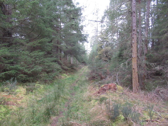
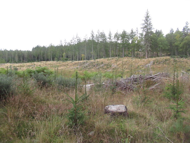
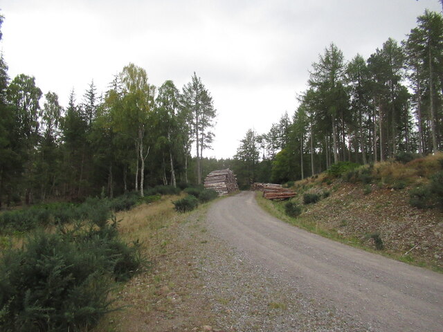
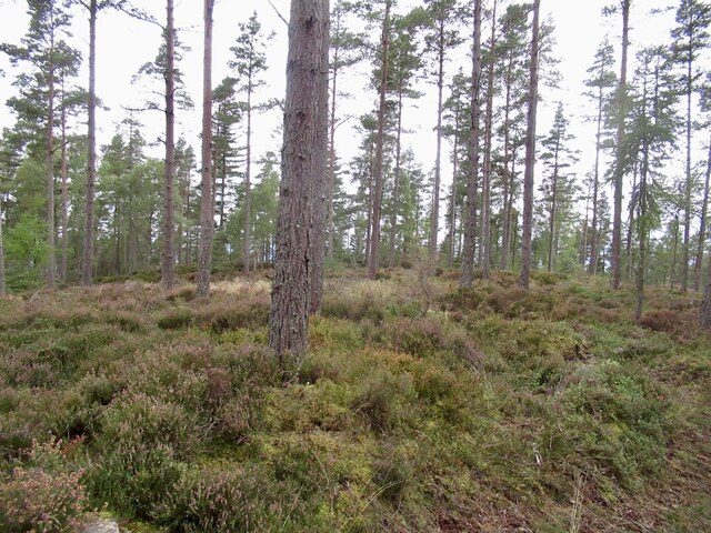
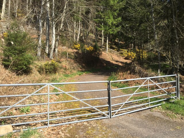
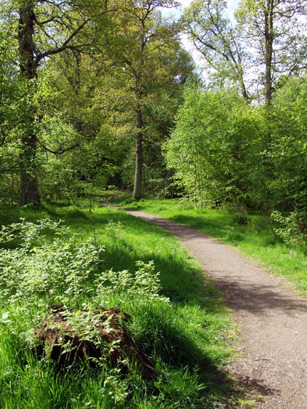
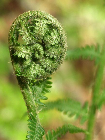
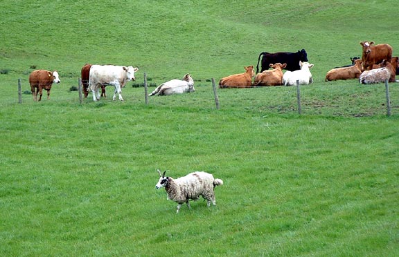
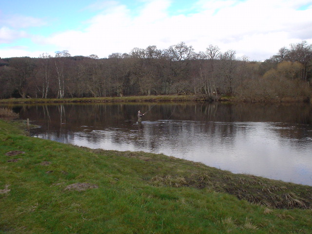
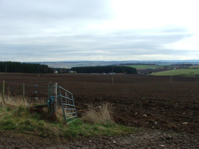
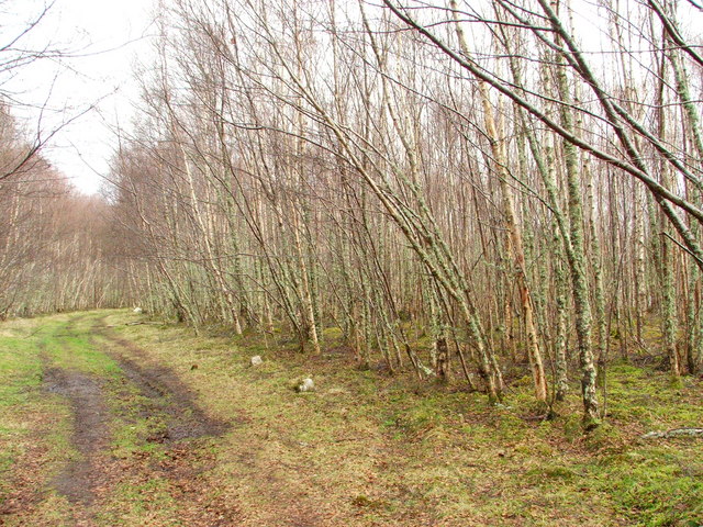
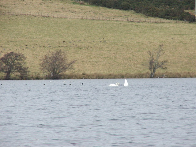
Cnoc na Mòine Images
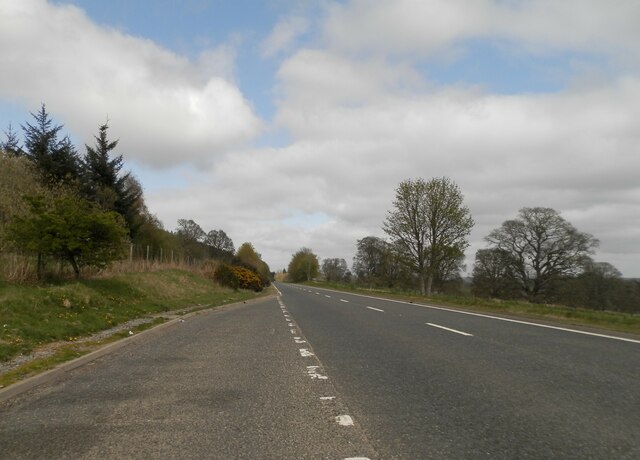
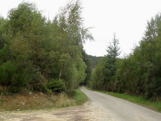
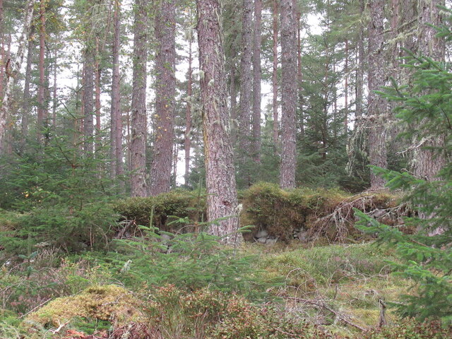
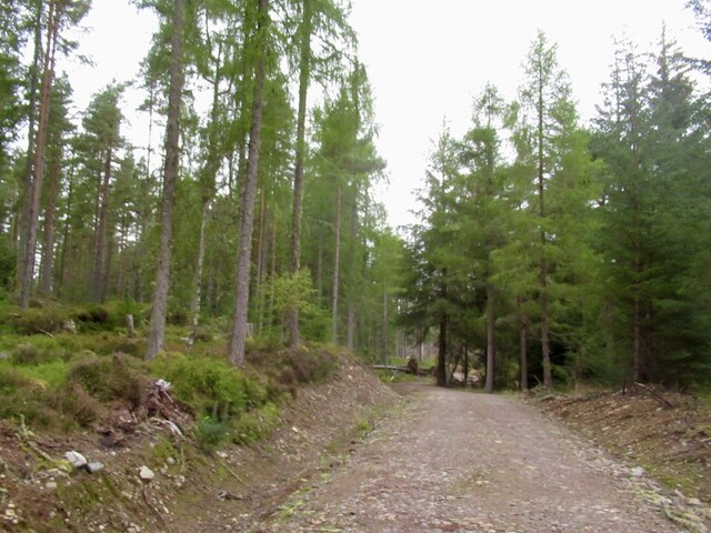
Images are sourced within 2km of 57.564861/-4.4909122 or Grid Reference NH5155. Thanks to Geograph Open Source API. All images are credited.


Cnoc na Mòine is located at Grid Ref: NH5155 (Lat: 57.564861, Lng: -4.4909122)
Unitary Authority: Highland
Police Authority: Highlands and Islands
What 3 Words
///easy.split.reflected. Near Conon Bridge, Highland
Nearby Locations
Related Wikis
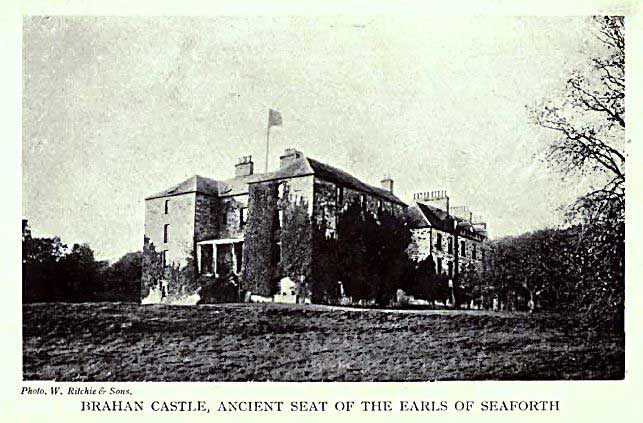
Brahan Castle
Brahan Castle was situated 3.5 miles (5.6 km) south-west of Dingwall, in Easter Ross, Highland Scotland. The castle belonged to the Earls of Seaforth,...
Siege of Brahan
The siege of Brahan took place in Scotland in November 1715 and was part of the Jacobite rising of 1715. Highlanders loyal to the British-Hanoverian government...
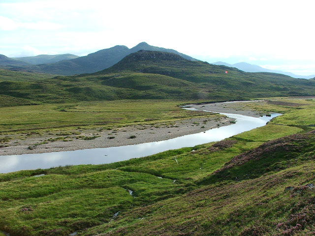
River Orrin
The River Orrin is a river in former Ross-shire, Highland, northern Scotland. The River Orrin is dammed in Glen Orrin making the Orrin Reservoir. It later...
Battle of Drumchatt (1497)
The Battle of Drumchatt was a Scottish clan battle that took place in 1497. The Clan Mackenzie and possibly the Clan Munro defeated the Clan MacDonald...
Nearby Amenities
Located within 500m of 57.564861,-4.4909122Have you been to Cnoc na Mòine?
Leave your review of Cnoc na Mòine below (or comments, questions and feedback).