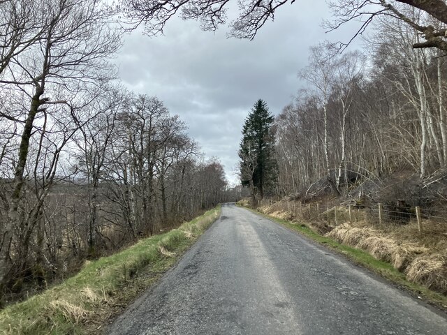
Altass Wood

Wood, Forest in Sutherland

Scotland

Altass Wood
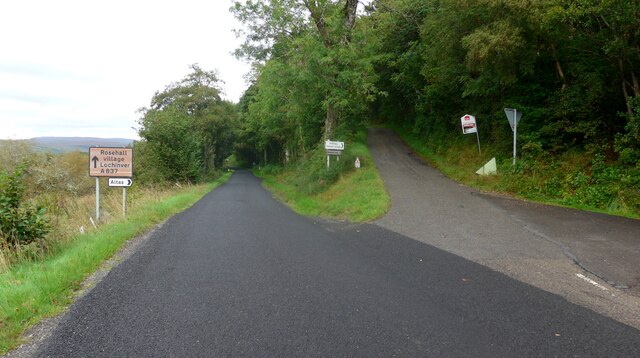
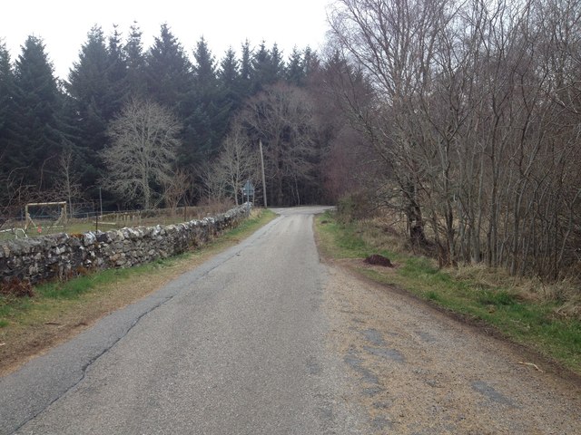
Road junction near Badfluich
Road junction near Badfluich Credit: Gordon Brown

The requested URL returned error: 429 Too Many Requests

If you have any feedback on the listing, please let us know in the comments section below.

Altass Wood Images

Images are sourced within 2km of 57.966716/-4.5200085 or Grid Reference NC5100. Thanks to Geograph Open Source API. All images are credited.

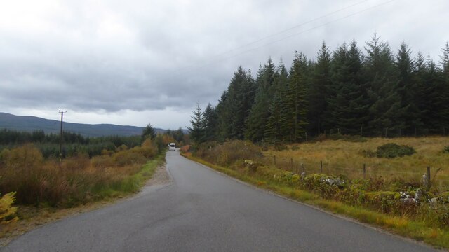
Road junction near Badfluich
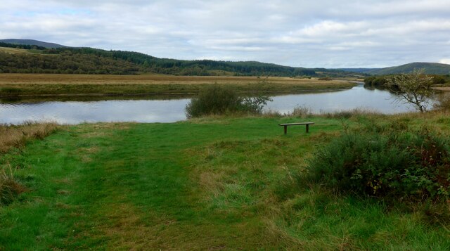
Bench by the Kyle of Sutherland This looks rather like the River Oykel but is in fact the Kyle of Sutherland.  The kyle stretches inland for about 20Km from Bonar Bridge.
Bench by the Kyle of Sutherland
This looks rather like the River Oykel but is in fact the Kyle of Sutherland. The kyle stretches inland for about 20Km from Bonar Bridge.
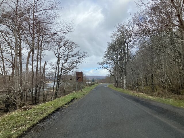
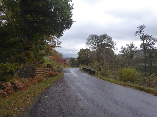
A837 near Altass
A837 near Altass
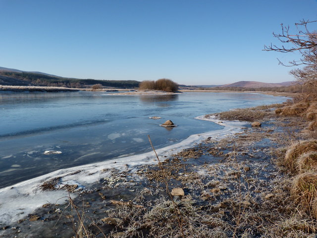
Kyle of Sutherland Rimmed with ice on this cold February day.
Kyle of Sutherland
Rimmed with ice on this cold February day.
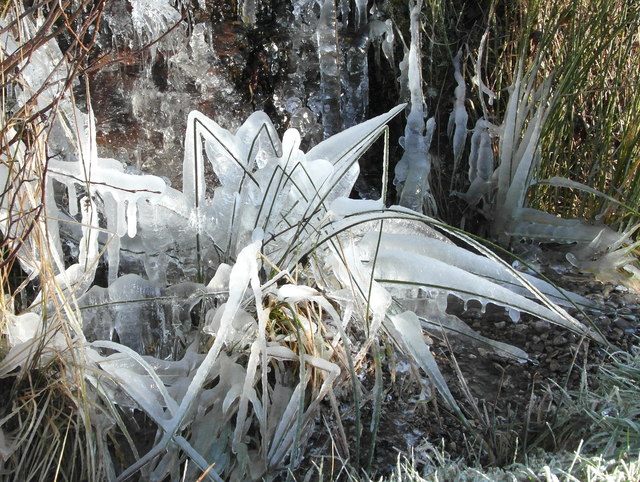
Ice sculptures by the A837 Iced grasses at the edge of a small tumbling burn.
Ice sculptures by the A837
Iced grasses at the edge of a small tumbling burn.
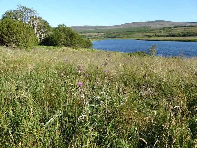
Grassy shore of the Kyle of Sutherland near Altass
A839 near Durcha, Sutherland
A837 near Altass
A837 near Altass
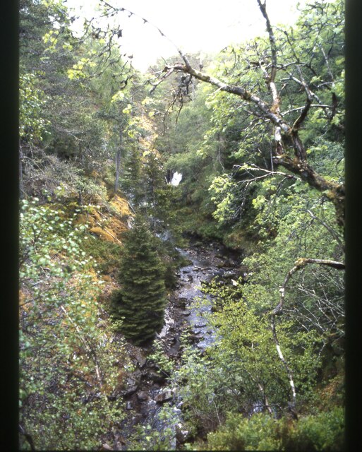
View from bridge of Ravens Rock Gorge
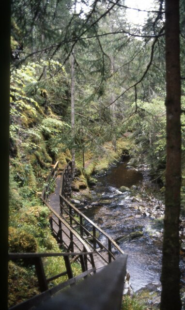
Looking down to the walkway that got me up here
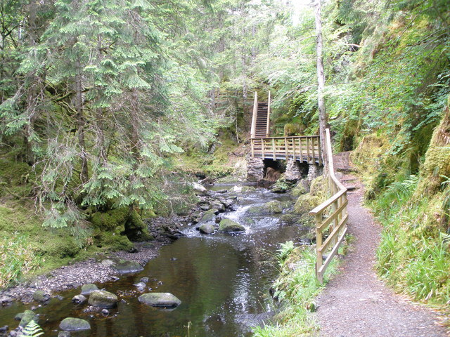
Path at the side of the Allt Mor on the Ravens Rock Gorge walk
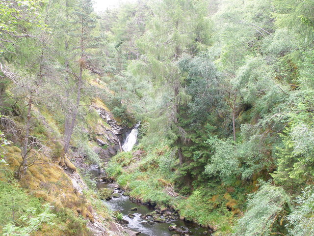
Waterfall on the Allt Mor Ravens Rock Gorge
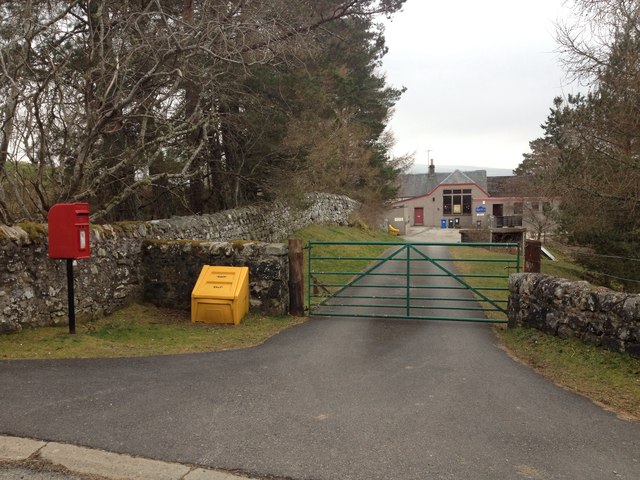
Entrance to Rosehall School
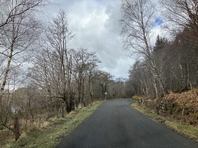
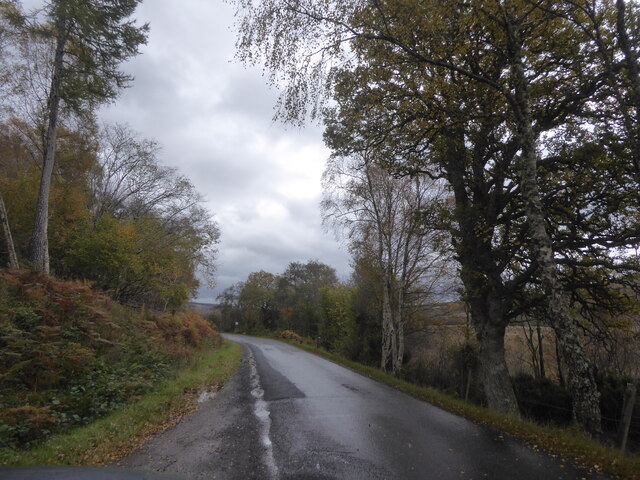
Minor road near Altass
Bridge over A837 near Tullich
A837 near Auchintoul, Sutherland
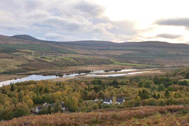
Autumn at Woodburn, Kyle of Sutherland, Scottish Highlands View from the track in Linsidemore Woods over the Kyle of Sutherland and River Oykel.
Autumn at Woodburn, Kyle of Sutherland, Scottish Highlands
View from the track in Linsidemore Woods over the Kyle of Sutherland and River Oykel.
A837 near to Auchintoul
Show me another place!

Altass Wood is located at Grid Ref: NC5100 (Lat: 57.966716, Lng: -4.5200085)

Unitary Authority: Highland

Police Authority: Highlands and Islands

What 3 Words

///rods.affirming.bigger. Near Lairg, Highland

Nearby Locations

Altass Wood

Related Wikis

Altass

Altass (Scottish Gaelic: Alltais) is a village in the Parish of Creich, near Lairg, Sutherland, within the Highland, Scotland and is in the council area...

Achnahanat

Achnahanat (Scottish Gaelic: Achadh na h-Annaid) is a crofting settlement on the south side of the Kyle of Sutherland in Scotland. It is about 4 miles...

Linsidemore

Linsidemore (Scottish Gaelic: Lianasaid Mhòr) is a tiny township on the north bank of the Kyle of Sutherland in the Scottish Highlands. It is about 3 miles...

Battle of Aldy Charrish

The Battle of Aldy Charrish (also known as the Battle of Auldicharish, Aldicharrish, Aldecharwis, Alt a'Charrais, Alt Charrais, Alt na Charrais) was a...

Nearby Amenities

Located within 500m of 57.966716,-4.5200085
Power: pole
Lat/Long: 57.9639405/-4.5265085
Power: pole
Lat/Long: 57.9638234/-4.5252484
Power: pole
Lat/Long: 57.9637111/-4.5240075
Power: pole
Lat/Long: 57.9636058/-4.5228923
Power: pole
Lat/Long: 57.9634773/-4.5215805
Power: pole
Lat/Long: 57.9633683/-4.5203963
Power: pole
Lat/Long: 57.9632393/-4.5190045
Power: pole
Lat/Long: 57.963113/-4.5166514
The data included in this document is from www.openstreetmap.org. The data is made available under ODbL.

Have you been to Altass Wood?

Leave your review of Altass Wood below (or comments, questions and feedback).