Church Plantation
Wood, Forest in Ross-shire
Scotland
Church Plantation
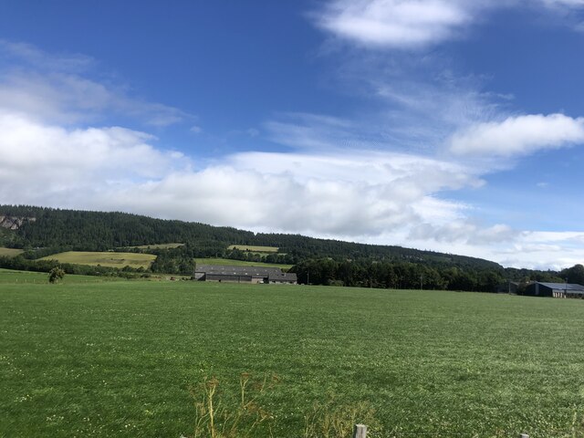
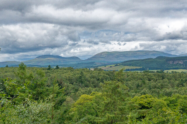
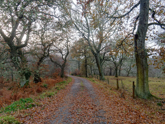
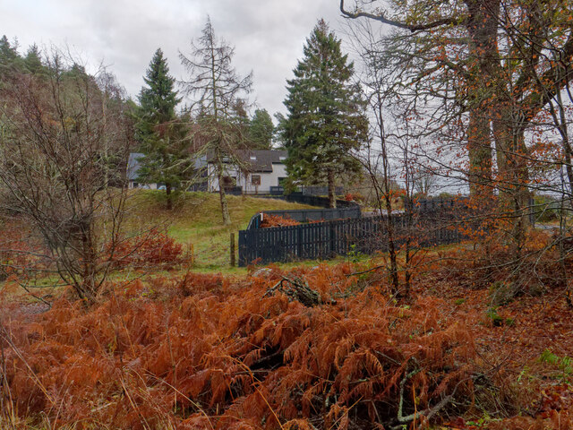
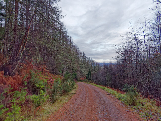
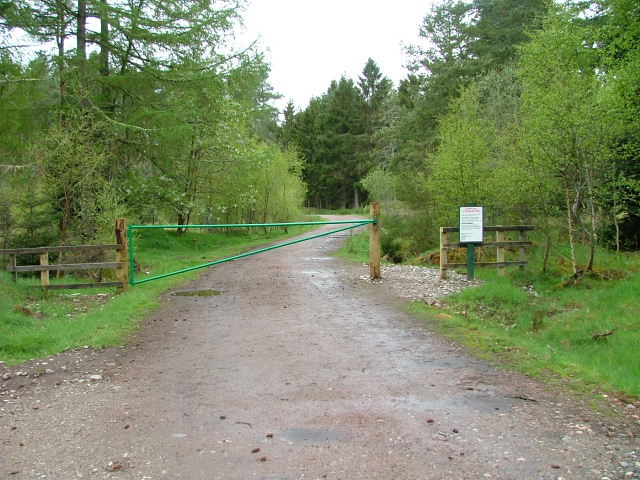
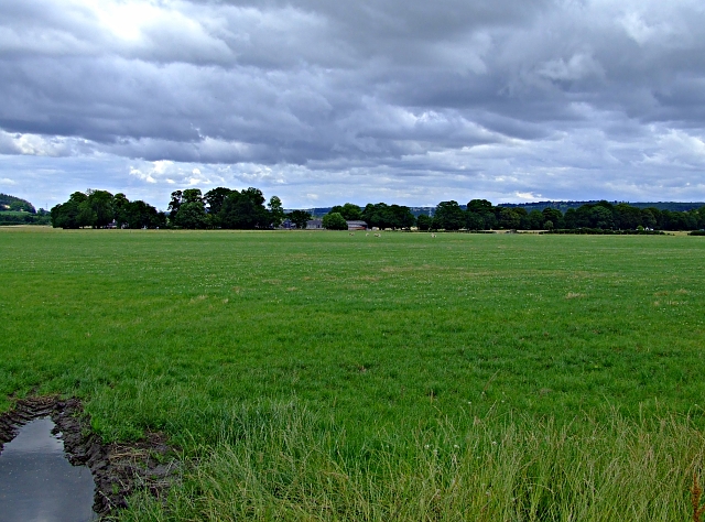
Church Plantation is a picturesque woodland located in Ross-shire, Scotland. Nestled amidst the stunning Highland scenery, the plantation covers a vast area of land abundant with tall trees and lush vegetation. The woodland is commonly referred to as Church Plantation due to its proximity to the nearby Church of Scotland.
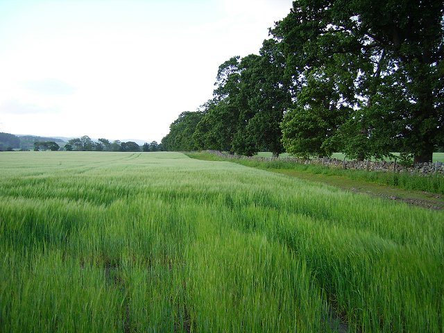
The plantation boasts a diverse range of tree species, including oak, birch, pine, and beech, which create a rich and vibrant ecosystem. The towering trees provide a dense canopy that filters sunlight, creating a cool and tranquil environment. Various species of wildflowers, such as bluebells and primroses, carpet the forest floor, adding bursts of color to the natural surroundings.
The woodland is an ideal destination for nature enthusiasts, walkers, and birdwatchers alike. The peaceful ambiance and absence of heavy foot traffic make it an excellent spot for observing wildlife. Visitors may encounter a variety of bird species, including woodpeckers, owls, and songbirds, as well as small mammals such as squirrels and hedgehogs.
Church Plantation offers a network of well-maintained trails and paths, allowing visitors to explore the woodland at their own pace. These paths lead to charming clearings and viewpoints, providing breathtaking vistas of the surrounding hills and valleys. The plantation is also home to a small, babbling brook that adds to the beauty and serenity of the area.
With its tranquil atmosphere, diverse flora and fauna, and stunning natural beauty, Church Plantation is a hidden gem within Ross-shire. It offers a welcome escape from the hustle and bustle of everyday life, providing a serene haven for those seeking solace in nature.
If you have any feedback on the listing, please let us know in the comments section below.
Church Plantation Images
Images are sourced within 2km of 57.536102/-4.4901854 or Grid Reference NH5152. Thanks to Geograph Open Source API. All images are credited.

Church Plantation is located at Grid Ref: NH5152 (Lat: 57.536102, Lng: -4.4901854)
Unitary Authority: Highland
Police Authority: Highlands and Islands
What 3 Words
///exclusive.flopping.interlude. Near Muir of Ord, Highland
Nearby Locations
Related Wikis
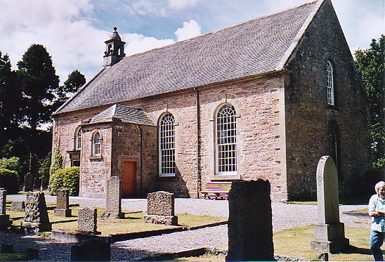
Urray
Urray (Scottish Gaelic: Urrath) is a scattered village and coastal parish, consisting of Easter, Old and Wester Urray and is located in the county of Ross...
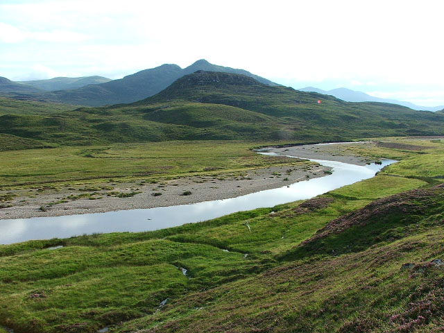
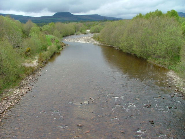
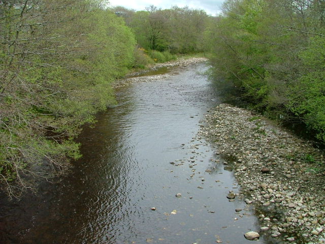
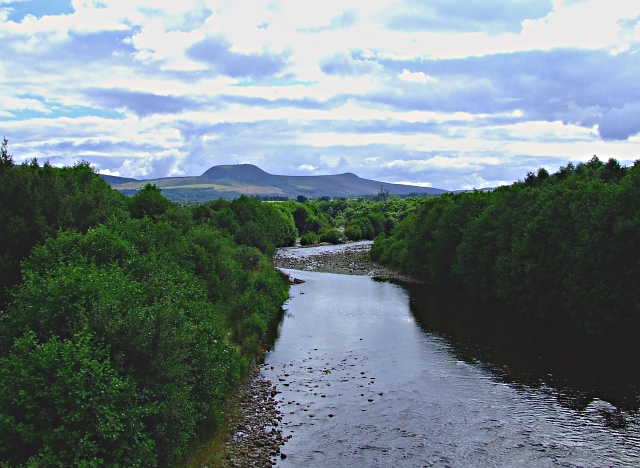
River Orrin
The River Orrin is a river in former Ross-shire, Highland, northern Scotland. The River Orrin is dammed in Glen Orrin making the Orrin Reservoir. It later...

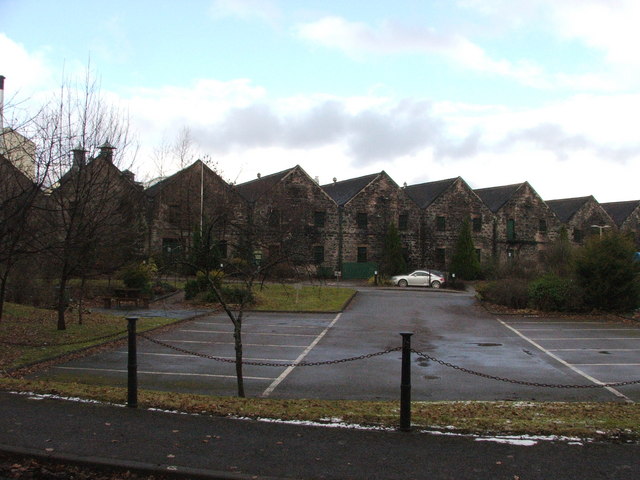
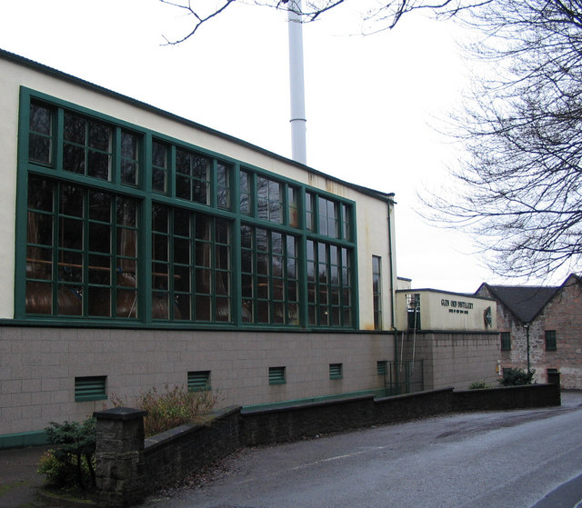
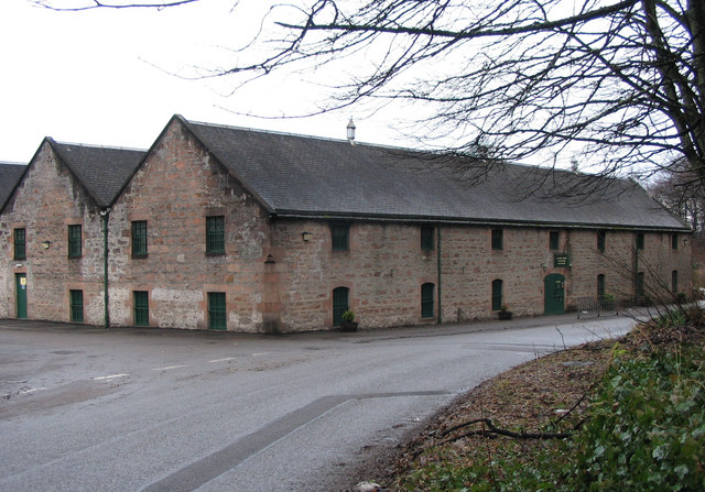
Glen Ord Distillery
Glen Ord distillery is a whisky distillery in the Scottish Highlands and is the only remaining single malt scotch whisky distillery on the Black Isle.Glen...
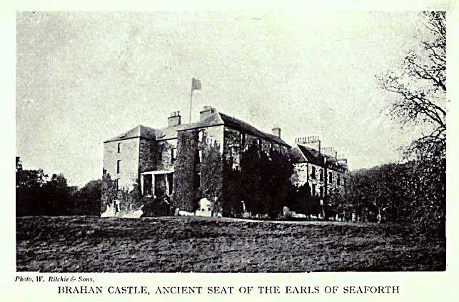
Siege of Brahan
The siege of Brahan took place in Scotland in November 1715 and was part of the Jacobite rising of 1715. Highlanders loyal to the British-Hanoverian government...
Nearby Amenities
Located within 500m of 57.536102,-4.4901854Have you been to Church Plantation?
Leave your review of Church Plantation below (or comments, questions and feedback).