Barhill Plantation
Wood, Forest in Renfrewshire
Scotland
Barhill Plantation

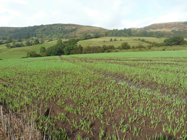
Barhill Plantation is a picturesque woodland area located in Renfrewshire, Scotland. Covering an expansive area, the plantation is known for its dense forests and diverse array of plant and animal life.
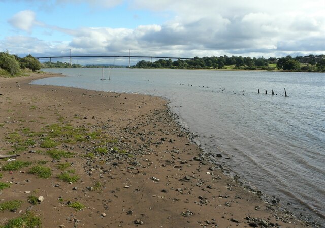
The woodland is primarily composed of native tree species such as oak, birch, and rowan, creating a rich and varied ecosystem. The lush undergrowth, consisting of ferns, mosses, and wildflowers, adds to the area's natural beauty. The diverse vegetation provides a habitat for a wide range of wildlife, including deer, foxes, squirrels, and a variety of bird species.
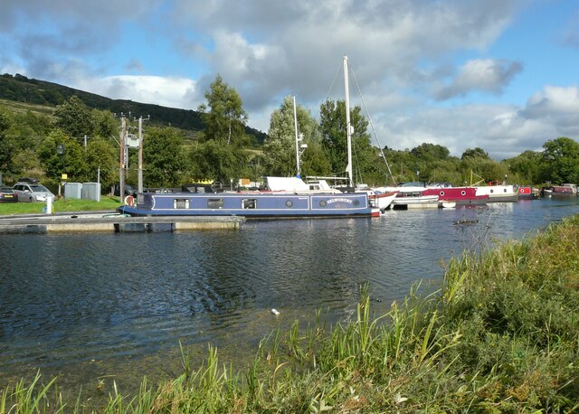
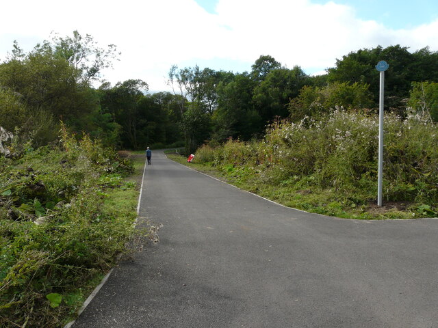
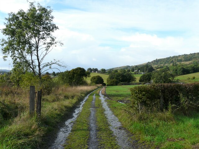
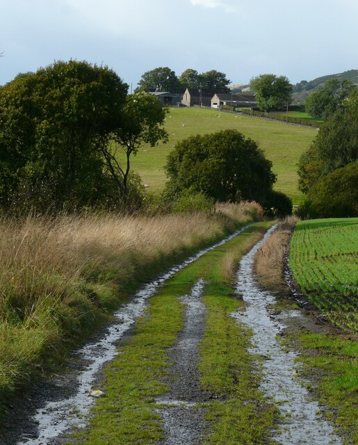
Barhill Plantation offers an ideal environment for outdoor activities and exploration. Numerous walking trails wind their way through the woodland, providing visitors with an opportunity to immerse themselves in the tranquility of nature. The trails vary in difficulty, catering to both experienced hikers and casual strollers.
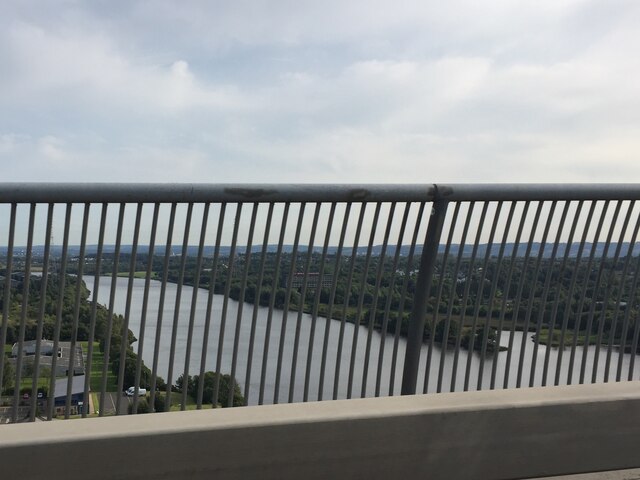
The plantation also has designated picnic areas, allowing visitors to enjoy a leisurely meal amidst the peaceful surroundings. Additionally, there are several viewpoints within the woodland that offer stunning panoramic vistas of the surrounding countryside.
Barhill Plantation is a popular destination for nature enthusiasts and photographers alike. Its serene ambiance and untouched beauty make it a perfect spot for capturing unique and breathtaking images.
Overall, Barhill Plantation in Renfrewshire is a natural haven that offers a diverse range of flora and fauna, making it an ideal destination for those seeking a peaceful retreat or an outdoor adventure.
If you have any feedback on the listing, please let us know in the comments section below.
Barhill Plantation Images
Images are sourced within 2km of 55.914701/-4.4626383 or Grid Reference NS4671. Thanks to Geograph Open Source API. All images are credited.


Barhill Plantation is located at Grid Ref: NS4671 (Lat: 55.914701, Lng: -4.4626383)
Unitary Authority: Renfrewshire
Police Authority: Renfrewshire and Inverclyde
What 3 Words
///probable.nightcap.automatic. Near Old Kilpatrick, West Dunbartonshire
Nearby Locations
Related Wikis
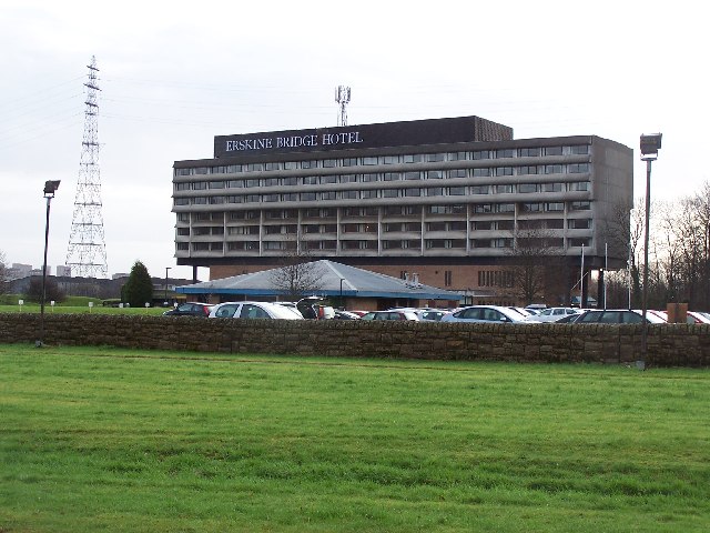
Erskine Bridge Hotel & Spa
The MGM Muthu Glasgow River Hotel, formerly the Erskine Bridge Hotel & Spa is situated on the banks of the River Clyde in Erskine, Renfrewshire. The hotel...

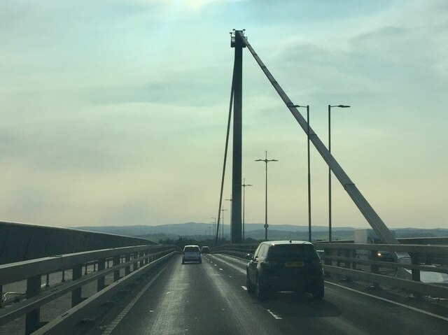
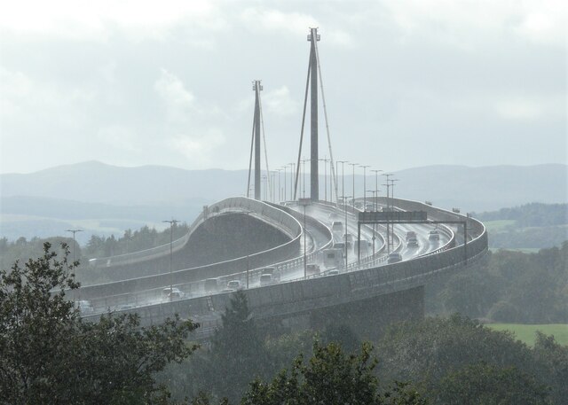
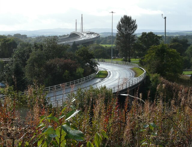
Erskine Bridge
The Erskine Bridge is a multi span cable-stayed box girder bridge spanning the River Clyde in west central Scotland. The bridge connects West Dunbartonshire...

St Patrick's Rock
St Patrick's Rock or St Patrick's Stone is located in the River Clyde (NS461724) close to the Erskine Bridge and the old Erskine Ferry on the Renfrewshire...

Erskine
Erskine (, Scots: Erskin, Scottish Gaelic: Arasgain) is a town in the council area of Renfrewshire, and historic county of the same name, situated in the...

Old Kilpatrick railway station
Old Kilpatrick railway station was located in the village of Old Kilpatrick, Scotland on the Lanarkshire and Dunbartonshire Railway. The station opened...

Erskine (charity)
Erskine is a veterans care and support charity headquartered in Erskine, Renfrewshire, but operating across the Central Belt of Scotland. It provides a...

Erskine Castle
Erskine Castle was a castle, about 5 miles (8 km) north of Erskine, Renfrewshire, Scotland, south of the River Clyde, on the shore. == History == The Erskines...

Old Kilpatrick
Old Kilpatrick (Scots: Auld Kilpaitrick, Scottish Gaelic: Cille Phàdraig meaning "Patrick's church"), is a village in West Dunbartonshire, Scotland. It...
Nearby Amenities
Located within 500m of 55.914701,-4.4626383Have you been to Barhill Plantation?
Leave your review of Barhill Plantation below (or comments, questions and feedback).