Ferry Strip
Wood, Forest in Renfrewshire
Scotland
Ferry Strip

Ferry Strip is a small wood located in Renfrewshire, Scotland. Situated near the town of Renfrew, it covers an area of approximately 5 hectares. The wood is surrounded by residential areas on three sides and the River Clyde on the fourth side.
Ferry Strip is primarily composed of mixed woodland, consisting of a variety of tree species such as oak, beech, birch, and pine. The trees form a dense canopy, providing shade and shelter for a diverse range of plants and animals. The undergrowth is characterized by ferns, mosses, and wildflowers, adding to the natural beauty of the area.
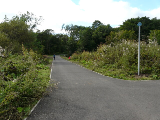
The wood is a popular destination for local residents who seek a peaceful retreat from the bustling city. It offers several walking trails, allowing visitors to explore its natural wonders at their own pace. The trails are well-maintained and clearly signposted, ensuring a safe and enjoyable experience for all.
Ferry Strip is also home to a rich array of wildlife. Birdwatchers can spot a variety of species, including woodpeckers, owls, and songbirds. The wood is also frequented by small mammals such as squirrels and rabbits. Additionally, the river provides a habitat for fish and waterfowl.
The wood is managed by the local council, which ensures the preservation of its natural features and the safety of visitors. It is open to the public year-round, free of charge. Ferry Strip is not only a valuable ecological resource but also a cherished recreational space for the community.
If you have any feedback on the listing, please let us know in the comments section below.
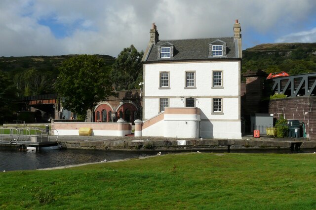
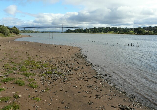
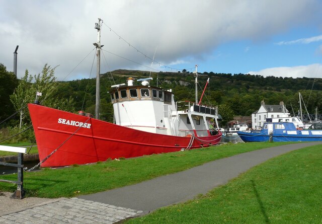
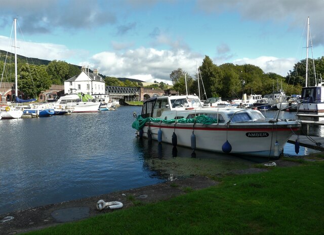
Ferry Strip Images
Images are sourced within 2km of 55.915281/-4.4632832 or Grid Reference NS4671. Thanks to Geograph Open Source API. All images are credited.


Ferry Strip is located at Grid Ref: NS4671 (Lat: 55.915281, Lng: -4.4632832)
Unitary Authority: Renfrewshire
Police Authority: Renfrewshire and Inverclyde
What 3 Words
///scrapping.slings.melons. Near Old Kilpatrick, West Dunbartonshire
Nearby Locations
Related Wikis

St Patrick's Rock
St Patrick's Rock or St Patrick's Stone is located in the River Clyde (NS461724) close to the Erskine Bridge and the old Erskine Ferry on the Renfrewshire...

Erskine Bridge
The Erskine Bridge is a multi span cable-stayed box girder bridge spanning the River Clyde in west central Scotland. The bridge connects West Dunbartonshire...
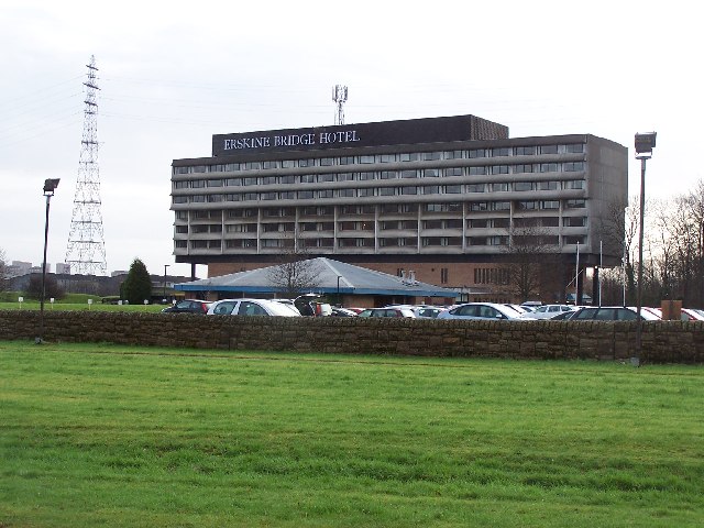
Erskine Bridge Hotel & Spa
The MGM Muthu Glasgow River Hotel, formerly the Erskine Bridge Hotel & Spa is situated on the banks of the River Clyde in Erskine, Renfrewshire. The hotel...

Old Kilpatrick railway station
Old Kilpatrick railway station was located in the village of Old Kilpatrick, Scotland on the Lanarkshire and Dunbartonshire Railway. The station opened...

Erskine
Erskine (, Scots: Erskin, Scottish Gaelic: Arasgain) is a town in the council area of Renfrewshire, and historic county of the same name, situated in the...

Erskine (charity)
Erskine is a veterans care and support charity headquartered in Erskine, Renfrewshire, but operating across the Central Belt of Scotland. It provides a...

Erskine Castle
Erskine Castle was a castle, about 5 miles (8 km) north of Erskine, Renfrewshire, Scotland, south of the River Clyde, on the shore. == History == The Erskines...

Old Kilpatrick
Old Kilpatrick (Scots: Auld Kilpaitrick, Scottish Gaelic: Cille Phàdraig meaning "Patrick's church"), is a village in West Dunbartonshire, Scotland. It...
Nearby Amenities
Located within 500m of 55.915281,-4.4632832Have you been to Ferry Strip?
Leave your review of Ferry Strip below (or comments, questions and feedback).