Bottombow Island
Island in Renfrewshire
Scotland
Bottombow Island

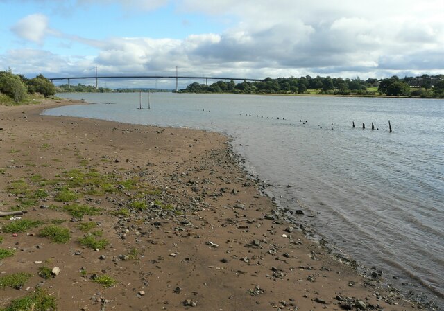
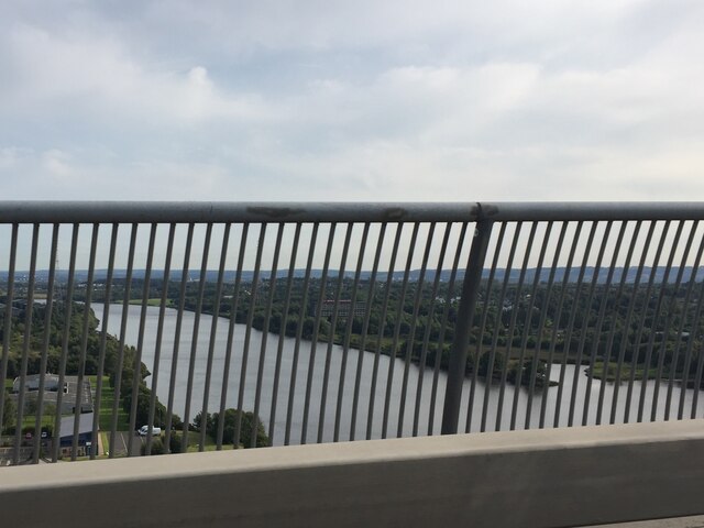
Bottombow Island is a picturesque island located in the county of Renfrewshire, Scotland. Situated in the River Clyde, it offers stunning views of the surrounding countryside and is a popular destination for both locals and tourists alike.
Covering an area of approximately 10 acres, Bottombow Island is known for its diverse wildlife and lush greenery. The island is home to a variety of bird species, including herons, swans, and ducks, making it a haven for birdwatching enthusiasts. Its tranquil and peaceful atmosphere also makes it an ideal spot for nature lovers and those seeking a break from the hustle and bustle of everyday life.
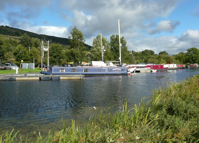
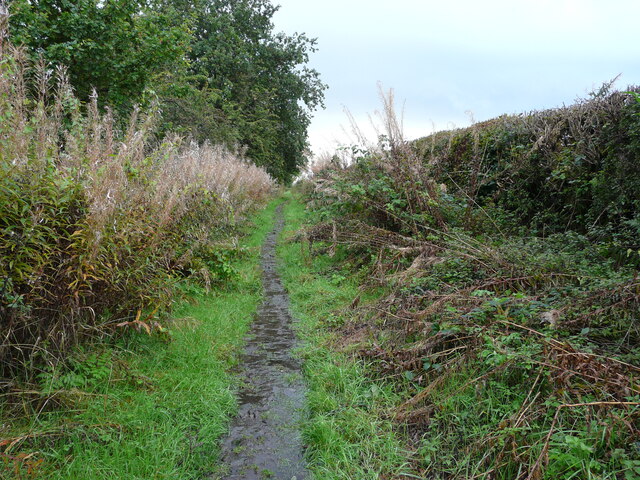
Access to Bottombow Island is primarily by boat or kayak, with visitors able to embark from nearby marinas or designated access points along the riverbank. As the island is uninhabited, there are no facilities or amenities available on-site, so visitors are advised to come prepared with their own food, water, and equipment.
Historically, Bottombow Island was utilized for agriculture, with evidence of old stone walls and ruins scattered across its landscape. The island's rich history adds to its charm and allure, providing an intriguing glimpse into the past.
Overall, Bottombow Island offers a unique and enchanting experience for nature enthusiasts and explorers. Its idyllic setting, abundant wildlife, and historical significance make it a must-visit destination for those seeking a serene escape in the heart of Renfrewshire.
If you have any feedback on the listing, please let us know in the comments section below.
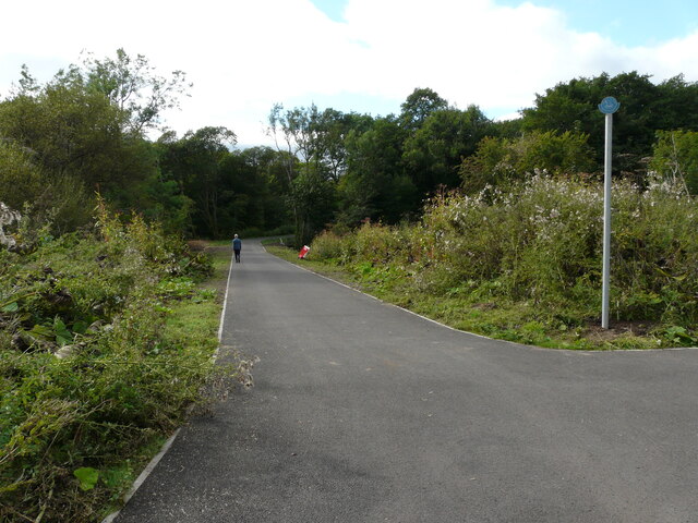
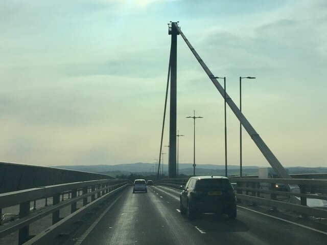
Bottombow Island Images
Images are sourced within 2km of 55.915997/-4.4598717 or Grid Reference NS4671. Thanks to Geograph Open Source API. All images are credited.


Bottombow Island is located at Grid Ref: NS4671 (Lat: 55.915997, Lng: -4.4598717)
Unitary Authority: Renfrewshire
Police Authority: Renfrewshire and Inverclyde
What 3 Words
///twee.hails.beaks. Near Old Kilpatrick, West Dunbartonshire
Nearby Locations
Related Wikis

St Patrick's Rock
St Patrick's Rock or St Patrick's Stone is located in the River Clyde (NS461724) close to the Erskine Bridge and the old Erskine Ferry on the Renfrewshire...
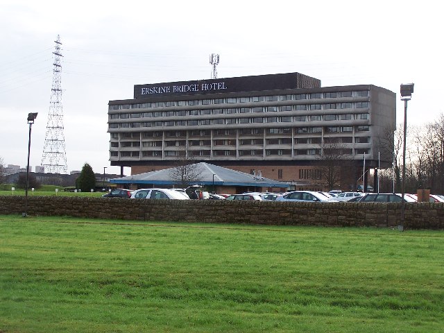
Erskine Bridge Hotel & Spa
The MGM Muthu Glasgow River Hotel, formerly the Erskine Bridge Hotel & Spa is situated on the banks of the River Clyde in Erskine, Renfrewshire. The hotel...

Old Kilpatrick railway station
Old Kilpatrick railway station was located in the village of Old Kilpatrick, Scotland on the Lanarkshire and Dunbartonshire Railway. The station opened...

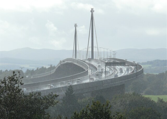
Erskine Bridge
The Erskine Bridge is a multi span cable-stayed box girder bridge spanning the River Clyde in west central Scotland. The bridge connects West Dunbartonshire...
Nearby Amenities
Located within 500m of 55.915997,-4.4598717Have you been to Bottombow Island?
Leave your review of Bottombow Island below (or comments, questions and feedback).