Catter Wood

Wood, Forest in Dunbartonshire

Scotland

Catter Wood

Grazing ponies Beside Spittal.
Grazing ponies Credit: Richard Sutcliffe

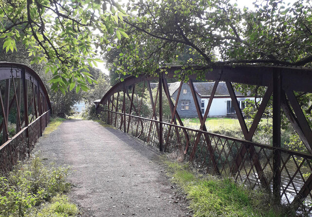
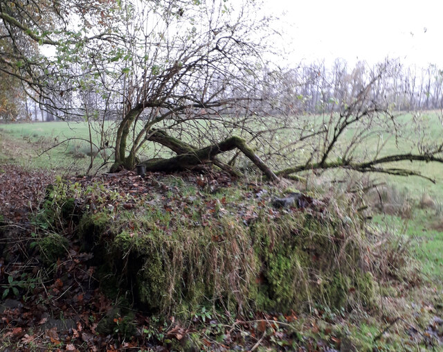
Catter Wood is a picturesque forest located in Dunbartonshire, Scotland. Covering an area of approximately 100 hectares, the wood is a haven of natural beauty and tranquility. The forest is dominated by a variety of native tree species, including oak, birch, beech, and rowan, creating a diverse and lush landscape.

The wood is crisscrossed by a network of well-maintained footpaths, making it a popular destination for walkers, hikers, and nature enthusiasts. The paths lead visitors on a journey through the forest, with stunning views of the surrounding countryside and glimpses of local wildlife along the way.

Catter Wood is home to a rich biodiversity, housing an array of flora and fauna. The forest provides a habitat for numerous bird species, such as woodpeckers, owls, and thrushes, making it a haven for birdwatchers. Red squirrels, foxes, and deer are also frequently spotted within the wood, adding to its charm and appeal.

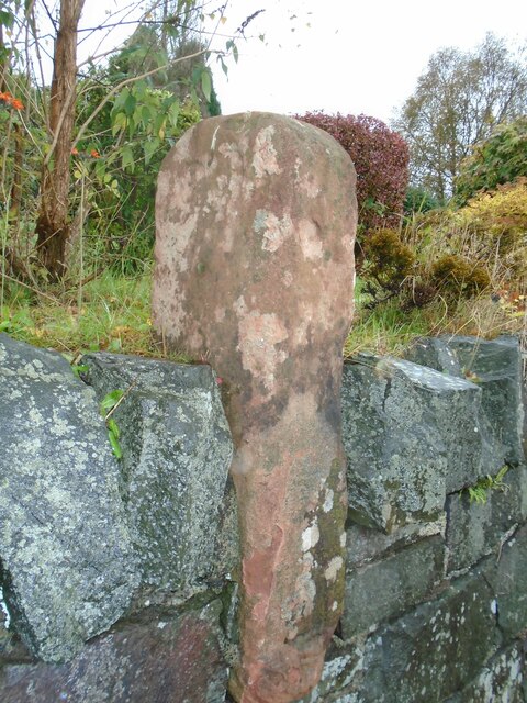
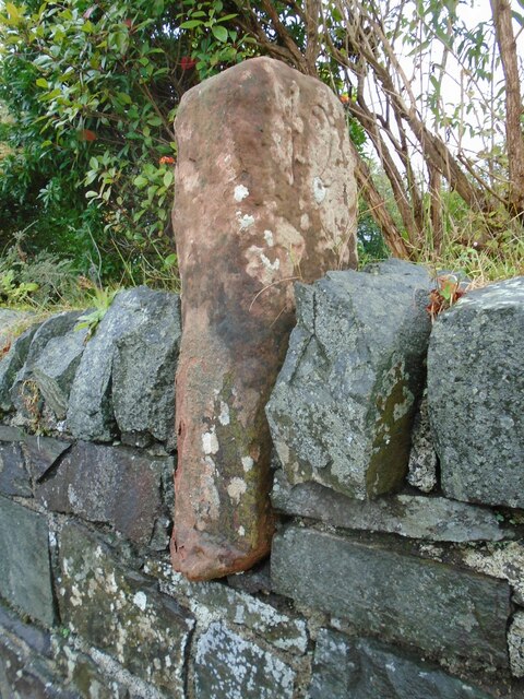
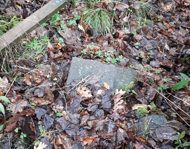
The wood has a fascinating history, with remnants of ancient settlements and archaeological sites scattered throughout. Ruins of old stone cottages and walls can be found, telling tales of past human habitation and rural life in this area.

Catter Wood offers visitors a chance to escape the hustle and bustle of daily life and immerse themselves in the beauty of nature. Whether it's a leisurely stroll, a challenging hike, or simply a moment of solitude, the wood provides a serene and enchanting experience for all who visit.

If you have any feedback on the listing, please let us know in the comments section below.

Catter Wood Images

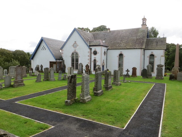
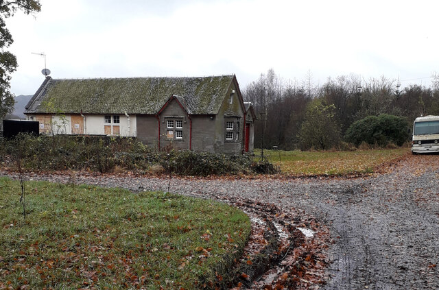
Images are sourced within 2km of 56.052242/-4.4715774 or Grid Reference NS4687. Thanks to Geograph Open Source API. All images are credited.

Grazing ponies Beside Spittal.
Grazing ponies
Beside Spittal.
Confined space The padlocked door gives access to some steps down into some kind of chamber - presumably relating to water supply. The sign on the door warns of a 'confined space' and no unauthorised entry.
Confined space
The padlocked door gives access to some steps down into some kind of chamber - presumably relating to water supply. The sign on the door warns of a 'confined space' and no unauthorised entry.
Route of the old railway line The overgrown route of the Forth and Clyde Junction Railway, which ran from Stirling to Balloch.
Route of the old railway line
The overgrown route of the Forth and Clyde Junction Railway, which ran from Stirling to Balloch.
Croftamie Farm Seen from the minor road to the southwest of the village.
Croftamie Farm
Seen from the minor road to the southwest of the village.
Minor road passing Kilderran The road runs from Croftamie to Shandon Farm and beyond.
Minor road passing Kilderran
The road runs from Croftamie to Shandon Farm and beyond.
Old milestone This shows the left side of the red sandstone milestone in the wall opposite the Buchanan Arms in Drymen.  A very worn 22 can just be made out which is the mileage to Stirling.  It is marked on the 1776 Taylor & Skinner map 1776 and is on the route of the Old Military Road built by Major William Caufeild 1765-97
Old milestone
This shows the left side of the red sandstone milestone in the wall opposite the Buchanan Arms in Drymen. A very worn 22 can just be made out which is the mileage to Stirling. It is marked on the 1776 Taylor & Skinner map 1776 and is on the route of the Old Military Road built by Major William Caufeild 1765-97
Old milestone This shows the right face of the red sandstone milestone in the wall opposite the Buchanan Arms in Drymen. A faint 12 can be made out which is the distance to Dumbarton.  There is a similar stone on the A811 in West Dunbartonshire at <a href="https://www.geograph.org.uk/gridref/NS+4148+8525">NS 4148 8525</a>.
Old milestone
This shows the right face of the red sandstone milestone in the wall opposite the Buchanan Arms in Drymen. A faint 12 can be made out which is the distance to Dumbarton. There is a similar stone on the A811 in West Dunbartonshire at NS 4148 8525.
Drymen Bridge over Endrick Water
Drymen View south towards the Balmaha turning where there is a big variable message sign with a couple of the usual parkspeak hectoring messages referring to parking responsibly and generally not trashing the place.
Drymen
View south towards the Balmaha turning where there is a big variable message sign with a couple of the usual parkspeak hectoring messages referring to parking responsibly and generally not trashing the place.
Cafe, Drymen Once a bike shop.
Cafe, Drymen
Once a bike shop.
The Village Hub, Drymen Village shop selling local produce and zero-waste products
The Village Hub, Drymen
Village shop selling local produce and zero-waste products
The Winnock Hotel, Drymen
Truss Bridge over River Endrick Metal truss bridge over the River Endrick. 
September 2022 gates were open and bridge looked safe for pedestrians.
Part of the South Drive of the Buchanan Estate.
Private bridge built by Duke of Montrose, shown on OS Map Stirlingshire Sheet XX. Survey Date 1861. Adjacent to and north of Woodend Lodge which appears in the background.
Truss Bridge over River Endrick
Metal truss bridge over the River Endrick. September 2022 gates were open and bridge looked safe for pedestrians. Part of the South Drive of the Buchanan Estate. Private bridge built by Duke of Montrose, shown on OS Map Stirlingshire Sheet XX. Survey Date 1861. Adjacent to and north of Woodend Lodge which appears in the background.
Drymen Parish Church and part of its Burial Ground Viewed from the north.
Drymen Parish Church and part of its Burial Ground
Viewed from the north.
Early 20th Century Water Tank Brick built water tank. Approximately 3 metres x 2 metres x 1 metre high. It is no longer in use and overgrown with vegetation. The construction and associated broken metal pipework indicate that it was probably built in the 1920s. The foundation of the south wall appears to have been built on top of the remains of the north wall of the earlier St. Ronan's Well. It is situated approximately one metre north of the boundary fence which surrounds Mains Farm's grass fields.
Early 20th Century Water Tank
Brick built water tank. Approximately 3 metres x 2 metres x 1 metre high. It is no longer in use and overgrown with vegetation. The construction and associated broken metal pipework indicate that it was probably built in the 1920s. The foundation of the south wall appears to have been built on top of the remains of the north wall of the earlier St. Ronan's Well. It is situated approximately one metre north of the boundary fence which surrounds Mains Farm's grass fields.
St Ronan's Well These are the remnants of St Ronan's Well. A depression approximately 700mm in dia and 200mm deep. It is filled with mud, leaves and discarded pieces of masonry. It is adjacent to and south of, the brick built water tank which apparently replaced the original well. Were it not for presence of the water tank, the position of St Ronan's well would be almost impossible to locate. It is located beneath the existing barbed wire fence. St Ronan would be disappointed.
St Ronan's Well
These are the remnants of St Ronan's Well. A depression approximately 700mm in dia and 200mm deep. It is filled with mud, leaves and discarded pieces of masonry. It is adjacent to and south of, the brick built water tank which apparently replaced the original well. Were it not for presence of the water tank, the position of St Ronan's well would be almost impossible to locate. It is located beneath the existing barbed wire fence. St Ronan would be disappointed.
Woodend Lodge This Lodge is positioned on South Avenue on the bank of the River Endrick at the south side of the metal truss bridge. Several windows have been boarded up; it is no longer occupied, but not yet derelict.
A derelict white van is permanently parked on South Avenue and performs the useful task of preventing four wheeled vehicles from attempting to cross the ageing bridge.
Woodend Lodge
This Lodge is positioned on South Avenue on the bank of the River Endrick at the south side of the metal truss bridge. Several windows have been boarded up; it is no longer occupied, but not yet derelict. A derelict white van is permanently parked on South Avenue and performs the useful task of preventing four wheeled vehicles from attempting to cross the ageing bridge.
Strathendrick Golf Club The clubhouse of the 9 hole Strathendrick Golf Club. It is a grade C listed building, erected in 1901 by the Duke of Montrose.
Strathendrick Golf Club
The clubhouse of the 9 hole Strathendrick Golf Club. It is a grade C listed building, erected in 1901 by the Duke of Montrose.
Show me another place!

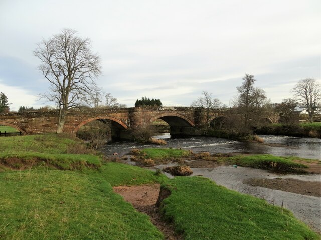
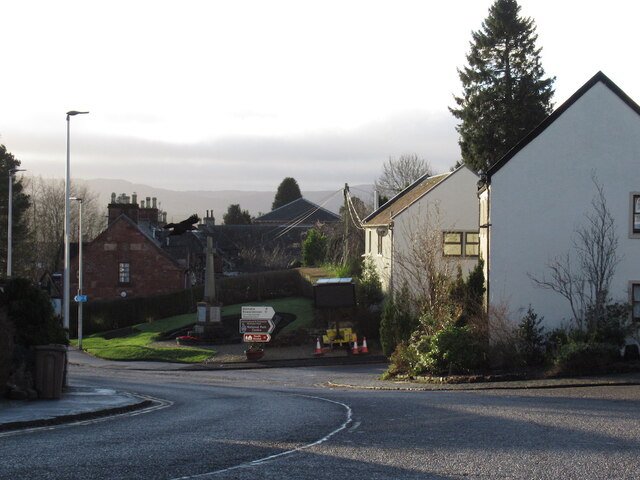
Catter Wood is located at Grid Ref: NS4687 (Lat: 56.052242, Lng: -4.4715774)

Unitary Authority: Stirling

Police Authority: Forth Valley

What 3 Words

///brew.most.drumbeat. Near Killearn, Stirling

Nearby Locations

Catter Wood

Related Wikis

Buchanan Castle

Buchanan Castle is a ruined castle in Stirlingshire, Scotland, located 1 mile (1.6 km) west of the village of Drymen. The house was commissioned by The...

Buchanan Auld House

Buchanan Auld House (or Buchanan Old House) is a ruined house in Stirlingshire, Scotland, located 1.5 miles (2.4 km) west of the village of Drymen. Historic...

Drymen railway station

Drymen railway station served the village of Croftamie, Stirling, Scotland, from 1856 to 1934 on the Forth and Clyde Junction Railway. == History == The...

Drymen

Drymen (; from Scottish Gaelic: Druiminn [ˈt̪ɾɯmɪɲ]) is a village in the Stirling district of central Scotland. Once a popular stopping place for cattle...

Nearby Amenities

Located within 500m of 56.052242,-4.4715774
Power: pole
Lat/Long: 56.0546571/-4.4774231
Power: pole
Lat/Long: 56.0545216/-4.4758668
Power: pole
Lat/Long: 56.0543978/-4.4743879
Power: pole
Lat/Long: 56.0542588/-4.4727647
The data included in this document is from www.openstreetmap.org. The data is made available under ODbL.

Have you been to Catter Wood?

Leave your review of Catter Wood below (or comments, questions and feedback).