Causeway End Wood

Wood, Forest in Wigtownshire

Scotland

Causeway End Wood

Old milestone This milestone sits on the very narrow verge near Clary Cottage.   W/arrow pointing to left/4 on the right face of this quadrant shaped stone.
Old milestone Credit: Chris Minto

Causeway End Wood is a charming forest located in Wigtownshire, a historic county in southwestern Scotland. Covering an area of approximately 50 hectares, this woodland is nestled in the heart of the picturesque countryside, offering visitors a tranquil and serene retreat from the hustle and bustle of everyday life.

The wood is primarily composed of a mix of broadleaf and coniferous trees, including oak, beech, birch, and spruce. The diverse vegetation creates a rich and vibrant habitat for a wide variety of flora and fauna, making it a haven for nature enthusiasts and wildlife lovers. Visitors can expect to encounter native species such as red squirrels, roe deer, badgers, and a plethora of bird species.

A network of well-maintained trails meanders through the woods, providing visitors with the opportunity to explore and appreciate the natural beauty of the surroundings. The paths cater to different abilities, offering both leisurely strolls and more challenging hikes. Along the way, there are several picturesque picnic spots, allowing visitors to sit back, relax, and enjoy the peaceful atmosphere.

Causeway End Wood also boasts a small pond, which adds to the overall charm of the area. The pond attracts various water-dwelling creatures, including frogs, newts, and dragonflies. It serves as a focal point for visitors, providing a tranquil spot for contemplation and reflection.

Overall, Causeway End Wood in Wigtownshire is a delightful destination for those seeking a peaceful and immersive experience in nature. With its diverse flora and fauna, well-maintained trails, and serene ambiance, this woodland is a must-visit for anyone looking to reconnect with the natural world.

If you have any feedback on the listing, please let us know in the comments section below.

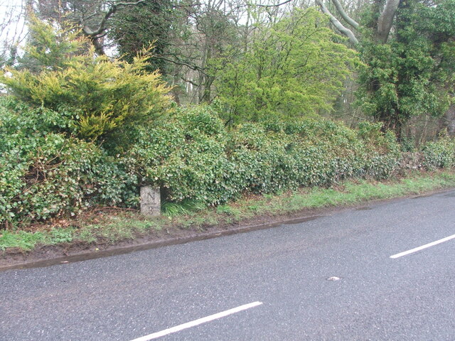
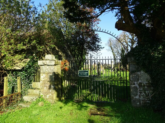
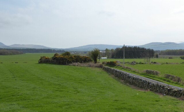
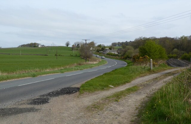
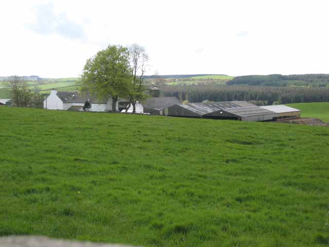
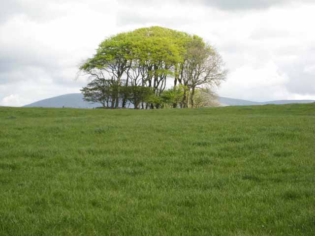
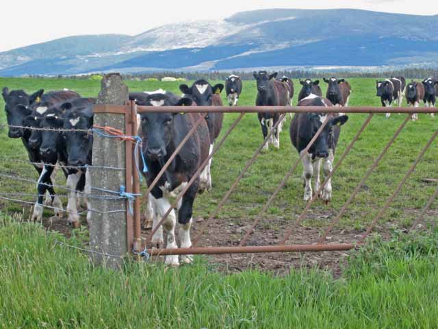
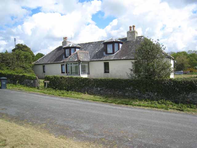
Causeway End Wood Images

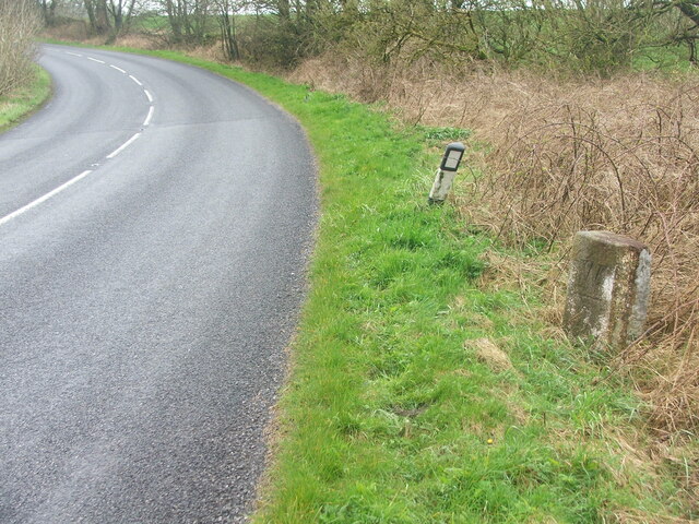
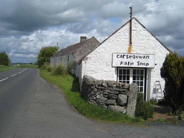
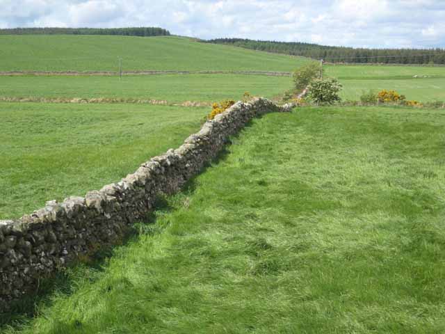
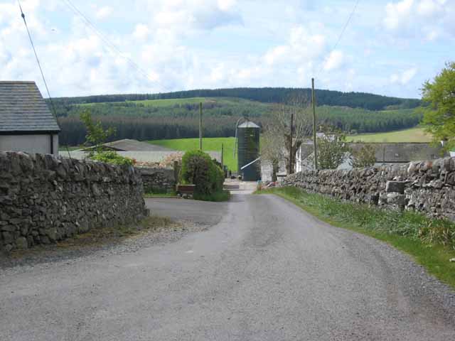
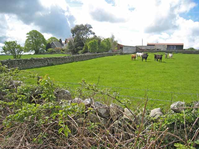
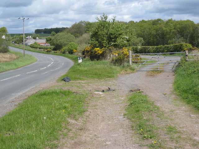
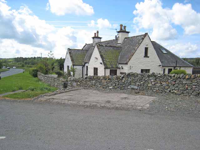
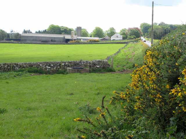
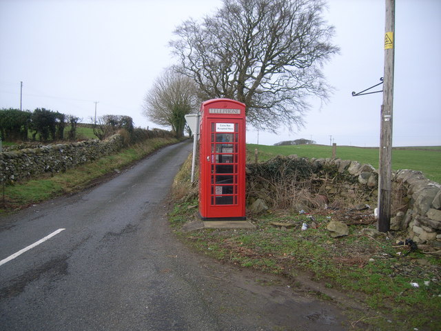
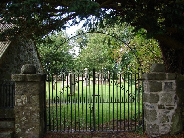
Images are sourced within 2km of 54.909839/-4.4605382 or Grid Reference NX4260. Thanks to Geograph Open Source API. All images are credited.

Old milestone This milestone sits on the very narrow verge near Clary Cottage.   W/arrow pointing to left/4 on the right face of this quadrant shaped stone.
Old milestone
This milestone sits on the very narrow verge near Clary Cottage. W/arrow pointing to left/4 on the right face of this quadrant shaped stone.
Clachan of Penninghame The gates at Clachan of Penninghame kirkyard.
Clachan of Penninghame
The gates at Clachan of Penninghame kirkyard.
Road to Carslae Crossing The crossing was over the Portpatrick and Wigtownshire Joint Railway here heading to Newton Stewart.
Road to Carslae Crossing
The crossing was over the Portpatrick and Wigtownshire Joint Railway here heading to Newton Stewart.
A714 Heading towards Causeway End Leaving a layby after realignment.
A714 Heading towards Causeway End
Leaving a layby after realignment.
Old milestone 4 miles from Newton Stewart, 3 to Wigtown, another of the quadrant shaped milestones on this route.
Old milestone
4 miles from Newton Stewart, 3 to Wigtown, another of the quadrant shaped milestones on this route.
Carsegowan On the A714 Newton Stewart to Wigtown road. Once a farm shop, but obviously no longer trading.
Carsegowan
On the A714 Newton Stewart to Wigtown road. Once a farm shop, but obviously no longer trading.
Wall near Carsegowan Seen from the A714 Newton Stewart to Wigtown road. The Wood of Auchleand can be seen in the background.
Wall near Carsegowan
Seen from the A714 Newton Stewart to Wigtown road. The Wood of Auchleand can be seen in the background.
Park Farm Between Newton Stewart and Wigtown. The Wood of Auchleand can be seen in the distance.
Park Farm
Between Newton Stewart and Wigtown. The Wood of Auchleand can be seen in the distance.
Drove Park Seen from the A714 Newton Stewart to Wigtown road.
Drove Park
Seen from the A714 Newton Stewart to Wigtown road.
Old and new roads near Causeway End The old A714 has reverted to use as a farm road, whilst the new A714 Wigtown to Newton Stewart road cuts a corner. Causeway End <a href="https://www.geograph.org.uk/gridref/NX4560">NX4560</a> can be seen in the background.
Old and new roads near Causeway End
The old A714 has reverted to use as a farm road, whilst the new A714 Wigtown to Newton Stewart road cuts a corner. Causeway End NX4560 can be seen in the background.
Causeway End Cottage The A714 Newton Stewart to Wigtown road can be seen on the left.
Causeway End Cottage
The A714 Newton Stewart to Wigtown road can be seen on the left.
Baltersan On the A714 Newton Stewart to Wigtown road.
Baltersan
On the A714 Newton Stewart to Wigtown road.
Park Farm The Wood of Auchleand can be seen in the distance.
Park Farm
The Wood of Auchleand can be seen in the distance.
Clump of trees Seen from the minor road from Barwhirran Croft to Causeway End. The bulk of Cairnsmore of Fleet <a href="https://www.geograph.org.uk/gridref/NX5067">NX5067</a> can be seen beyond.
Clump of trees
Seen from the minor road from Barwhirran Croft to Causeway End. The bulk of Cairnsmore of Fleet NX5067 can be seen beyond.
Cattle beside the A714 Seen from the Newton Stewart to Wigtown road. Cairnsmore of Fleet <a href="https://www.geograph.org.uk/gridref/NX5067">NX5067</a> in the distance.
Cattle beside the A714
Seen from the Newton Stewart to Wigtown road. Cairnsmore of Fleet NX5067 in the distance.
Causeway End On the A714 Newton Stewart to Wigtown road.
Causeway End
On the A714 Newton Stewart to Wigtown road.
Causeway End Telephone Box
Clachan of Penninghame Modern iron gates into Old Penninghame graveyard with church remains and a war grave.
Clachan of Penninghame
Modern iron gates into Old Penninghame graveyard with church remains and a war grave.
Show me another place!

Causeway End Wood is located at Grid Ref: NX4260 (Lat: 54.909839, Lng: -4.4605382)

Unitary Authority: Dumfries and Galloway

Police Authority: Dumfries and Galloway

What 3 Words

///painters.attention.shepherds. Near Newton Stewart, Dumfries & Galloway

Related Wikis

Causeway End railway station

Causeway End (NX 42047 59602) or Causwayend was a railway station on the Wigtownshire Railway branch line, from Newton Stewart to Whithorn, of the Portpatrick...

Mains of Penninghame Platform railway station

Mains of Penninghame Platform railway station (NX410617) was a halt on the Wigtownshire Railway branch line, from Newton Stewart to Whithorn, of the Portpatrick...

Palnure

Palnure (Scottish Gaelic: Poll an Iùbhair) is a small village in the historical county of Kirkcudbrightshire in Dumfries and Galloway, Scotland, on the...

Palnure railway station

Palnure railway station (NX450634) was a railway station on the Portpatrick and Wigtownshire Joint Railway close to Newton Stewart and the junction for...

Nearby Amenities

Located within 500m of 54.909839,-4.4605382
A714
Naptan AtcoCode: 680000858111
Naptan Bearing: N
Naptan BusStopType: CUS
Naptan CommonName: A714
Naptan Indicator: opp Road End
Naptan Landmark: Causeway End
Naptan NaptanCode: 34236846
Naptan Notes: none
Naptan Street: A714
Naptan Verified: no
Source: naptan_import
Lat/Long: 54.9123143/-4.464334
A714
Naptan AtcoCode: 680000858222
Naptan Bearing: S
Naptan BusStopType: CUS
Naptan CommonName: A714
Naptan Indicator: Road End
Naptan Landmark: Causeway End
Naptan NaptanCode: 34236845
Naptan Notes: none
Naptan Street: A714
Naptan Verified: no
Source: naptan_import
Lat/Long: 54.9121057/-4.46382
Power: pole
Lat/Long: 54.906314/-4.4634166
Power: pole
Lat/Long: 54.9071722/-4.463689
Power: pole
Lat/Long: 54.9086245/-4.4647639
Power: pole
Lat/Long: 54.9093528/-4.4653226
Power: pole
Lat/Long: 54.9123854/-4.4667836
Power: pole
Lat/Long: 54.9117714/-4.4664878
Power: pole
Lat/Long: 54.9111697/-4.4661979
Power: pole
Lat/Long: 54.9105429/-4.465896
Power: pole
Lat/Long: 54.909932/-4.4656017
Power: pole
Lat/Long: 54.9078661/-4.4642026
Power: pole
Lat/Long: 54.9105953/-4.4649734
Power: pole
Lat/Long: 54.9100678/-4.4649812
Power: pole
Lat/Long: 54.9097298/-4.4649889
Power: pole
Lat/Long: 54.909345/-4.4651926
Power: pole
Lat/Long: 54.9089045/-4.465441
Power: pole
Lat/Long: 54.9084326/-4.465701
Power: pole
Lat/Long: 54.9079742/-4.4659629
Power: pole
Lat/Long: 54.9075905/-4.4661782
Power: pole
Lat/Long: 54.9071276/-4.4664402
Power: pole
Lat/Long: 54.9124723/-4.4659862
Power: pole
Lat/Long: 54.9126218/-4.4648085
Power: pole
Lat/Long: 54.9128047/-4.4633398
Power: pole
Lat/Long: 54.912891/-4.4622203
Power: pole
Lat/Long: 54.912972/-4.4611687
Power: pole
Lat/Long: 54.9130545/-4.4601152
Power: pole
Lat/Long: 54.9135843/-4.4623309
Power: pole
Lat/Long: 54.9123709/-4.461128
Power: pole
Lat/Long: 54.9118779/-4.4600298
Power: pole
Lat/Long: 54.9113883/-4.4590112
Power: pole
Lat/Long: 54.9112009/-4.4596709
Power: pole
Lat/Long: 54.9115991/-4.4582875
Booth: K6
Covered: booth
Disused Amenity: telephone
Man Made: telephone_box
Lat/Long: 54.9110973/-4.4647705
Post Box
Collection Times: Mo-Fr 17:00; Sa 13:00
Operator: Royal Mail
Post Box Type: lamp
Ref: DG8 39
Royal Cypher: scottish_crown
Lat/Long: 54.911085/-4.4646819
The data included in this document is from www.openstreetmap.org. The data is made available under ODbL.

Have you been to Causeway End Wood?

Leave your review of Causeway End Wood below (or comments, questions and feedback).