Causeway End

Settlement in Wigtownshire

Scotland

Causeway End

Old milestone This shows the position of the milestone in relation to the very minor road at Baltersan Cross which goes southwestwards towards the B733.
Old milestone Credit: Chris Minto

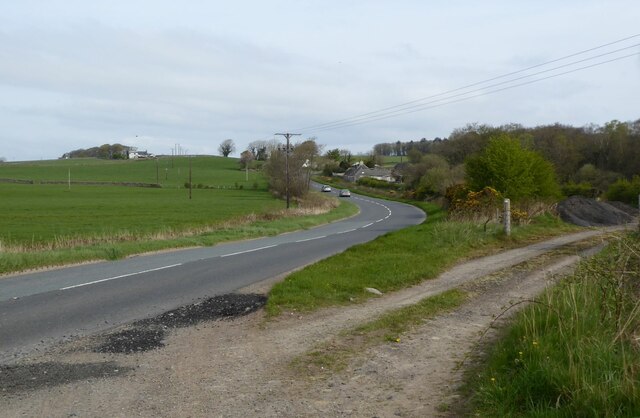
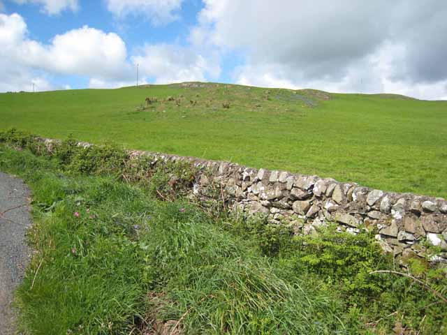
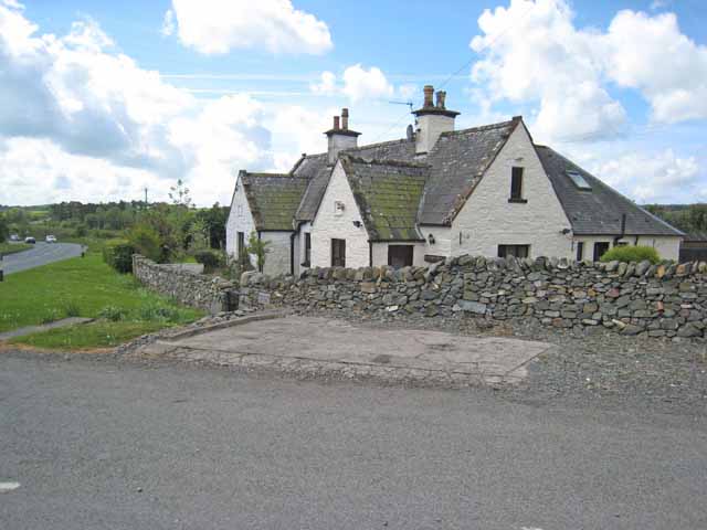
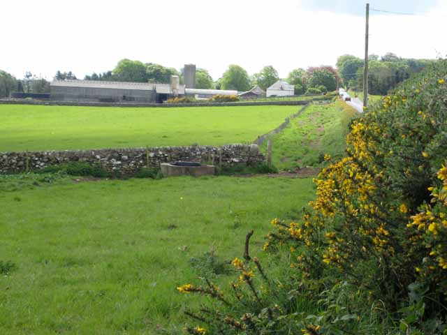
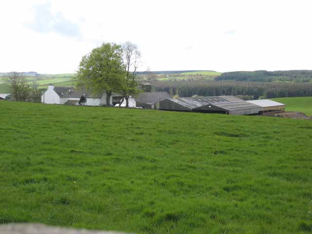
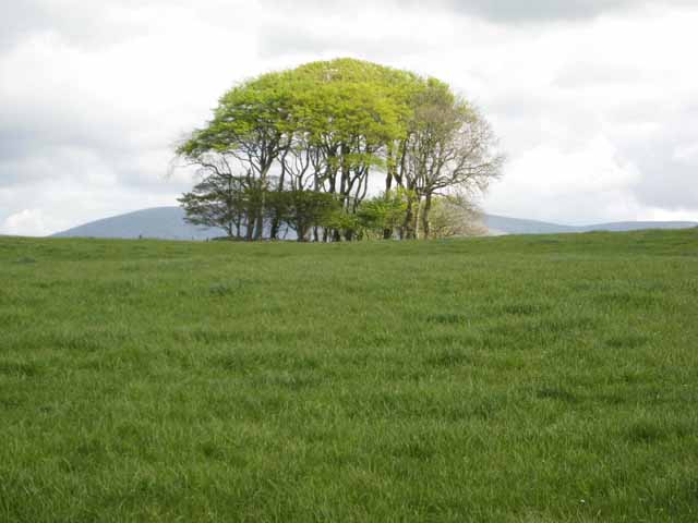
Causeway End is a small rural hamlet located in Wigtownshire, in the southwest of Scotland. Situated near the village of Glenluce, Causeway End is a peaceful and picturesque area surrounded by rolling hills and farmland.

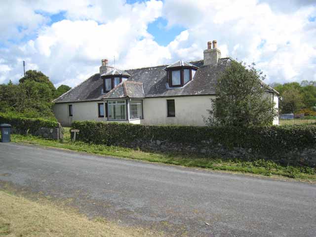
The hamlet consists of a cluster of traditional stone houses and cottages, many of which date back to the 19th century. The architecture in Causeway End is characterized by its quaint and charming style, with many buildings featuring slate roofs and whitewashed walls.

Despite its small size, Causeway End has a close-knit community and a strong sense of local pride. The residents of the hamlet are friendly and welcoming, and there is a sense of camaraderie among neighbors.

The surrounding countryside offers plenty of opportunities for outdoor activities such as hiking, cycling, and birdwatching. The nearby Glenluce Abbey, a historic ruin dating back to the 12th century, is also a popular attraction for visitors to the area.

Overall, Causeway End is a tranquil and idyllic spot, perfect for those seeking a peaceful retreat in the Scottish countryside.

If you have any feedback on the listing, please let us know in the comments section below.
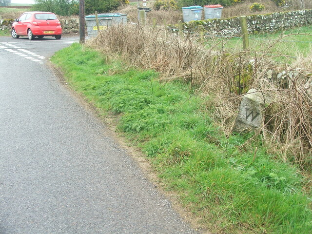
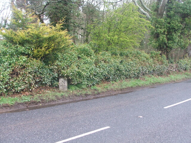
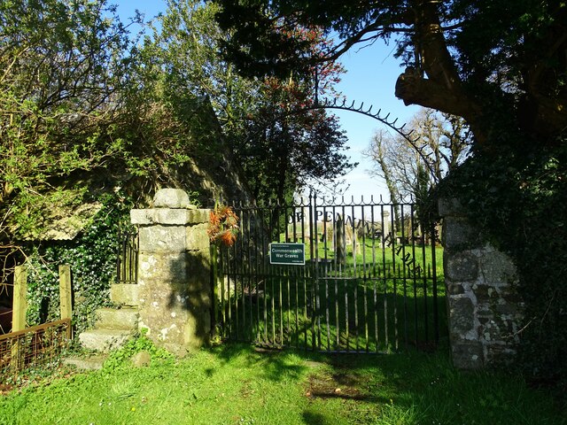
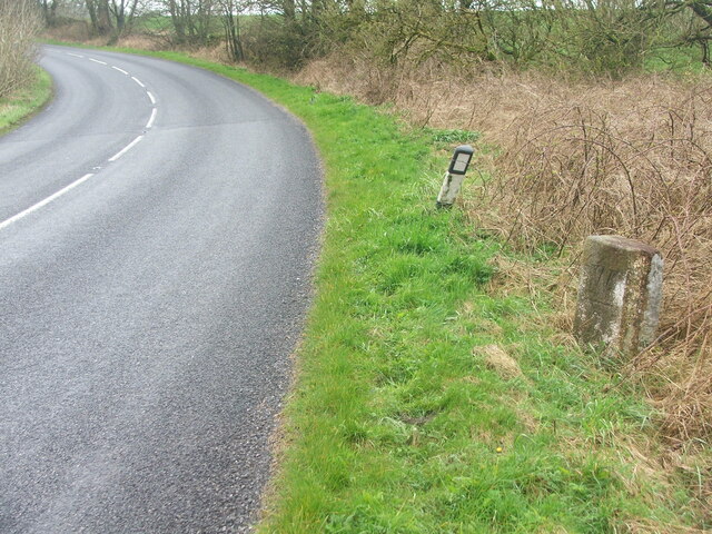
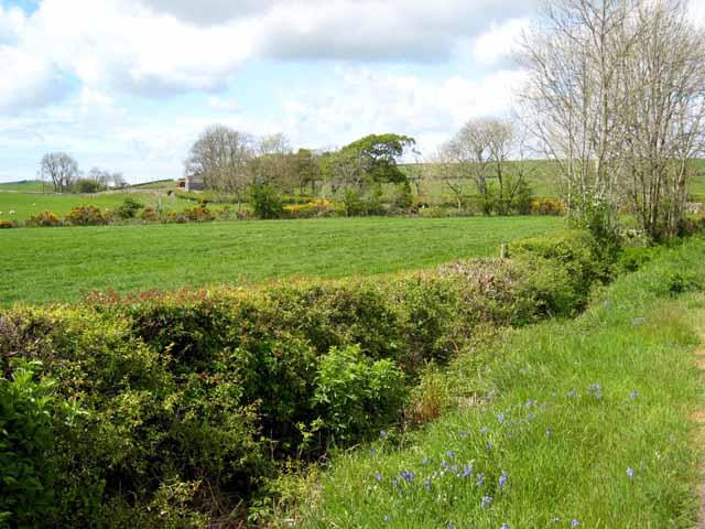
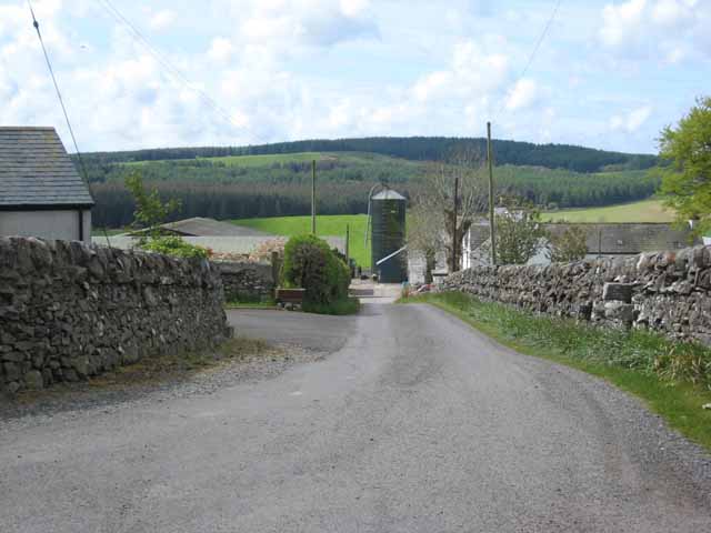
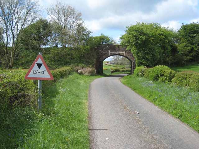
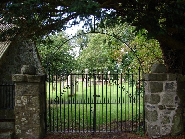
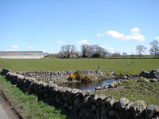
Causeway End Images

Images are sourced within 2km of 54.911532/-4.4656813 or Grid Reference NX4260. Thanks to Geograph Open Source API. All images are credited.

Old milestone This shows the position of the milestone in relation to the very minor road at Baltersan Cross which goes southwestwards towards the B733.
Old milestone
This shows the position of the milestone in relation to the very minor road at Baltersan Cross which goes southwestwards towards the B733.
Old milestone This milestone sits on the very narrow verge near Clary Cottage.   W/arrow pointing to left/4 on the right face of this quadrant shaped stone.
Old milestone
This milestone sits on the very narrow verge near Clary Cottage. W/arrow pointing to left/4 on the right face of this quadrant shaped stone.
Clachan of Penninghame The gates at Clachan of Penninghame kirkyard.
Clachan of Penninghame
The gates at Clachan of Penninghame kirkyard.
A714 Heading towards Causeway End Leaving a layby after realignment.
A714 Heading towards Causeway End
Leaving a layby after realignment.
Old milestone 4 miles from Newton Stewart, 3 to Wigtown, another of the quadrant shaped milestones on this route.
Old milestone
4 miles from Newton Stewart, 3 to Wigtown, another of the quadrant shaped milestones on this route.
Farmland round Barwhirran Barwhirran Farm can be seen in the distance.
Farmland round Barwhirran
Barwhirran Farm can be seen in the distance.
Park Farm Between Newton Stewart and Wigtown. The Wood of Auchleand can be seen in the distance.
Park Farm
Between Newton Stewart and Wigtown. The Wood of Auchleand can be seen in the distance.
Old railway bridge on the Newton Stewart to Whithorn line The railway functioned between 1875 and 1950 <span class="nowrap"><a title="http://en.wikipedia.org/wiki/Wigtown#History" rel="nofollow ugc noopener" href="http://en.wikipedia.org/wiki/Wigtown#History">Link</a><img style="margin-left:2px;" alt="External link" title="External link - shift click to open in new window" src="https://s1.geograph.org.uk/img/external.png" width="10" height="10"/></span> . Remarkably, the bridge is still standing - possibly in use to carry a farm track.
Old railway bridge on the Newton Stewart to Whithorn line
The railway functioned between 1875 and 1950 LinkExternal link . Remarkably, the bridge is still standing - possibly in use to carry a farm track.
Rocky outcrops in a field near High Baltersan Bluebells were in bloom amongst the rocks, and the road verge was a riot of wild flowers.
Rocky outcrops in a field near High Baltersan
Bluebells were in bloom amongst the rocks, and the road verge was a riot of wild flowers.
Causeway End Cottage The A714 Newton Stewart to Wigtown road can be seen on the left.
Causeway End Cottage
The A714 Newton Stewart to Wigtown road can be seen on the left.
Baltersan On the A714 Newton Stewart to Wigtown road.
Baltersan
On the A714 Newton Stewart to Wigtown road.
Park Farm The Wood of Auchleand can be seen in the distance.
Park Farm
The Wood of Auchleand can be seen in the distance.
Clump of trees Seen from the minor road from Barwhirran Croft to Causeway End. The bulk of Cairnsmore of Fleet <a href="https://www.geograph.org.uk/gridref/NX5067">NX5067</a> can be seen beyond.
Clump of trees
Seen from the minor road from Barwhirran Croft to Causeway End. The bulk of Cairnsmore of Fleet NX5067 can be seen beyond.
Junction at Barwhirran Croft There appear to be the ruins of a building in the little triangle at the junction.
Junction at Barwhirran Croft
There appear to be the ruins of a building in the little triangle at the junction.
Causeway End On the A714 Newton Stewart to Wigtown road.
Causeway End
On the A714 Newton Stewart to Wigtown road.
Causeway End Telephone Box
Clachan of Penninghame Modern iron gates into Old Penninghame graveyard with church remains and a war grave.
Clachan of Penninghame
Modern iron gates into Old Penninghame graveyard with church remains and a war grave.
Mains of Penninghame View across Bishop Burn of Mains of Penninghame livestock farm.
Mains of Penninghame
View across Bishop Burn of Mains of Penninghame livestock farm.
Show me another place!

Causeway End is located at Grid Ref: NX4260 (Lat: 54.911532, Lng: -4.4656813)

Unitary Authority: Dumfries and Galloway

Police Authority: Dumfries and Galloway

What 3 Words

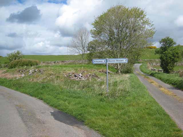
///plotted.lungs.stickler. Near Newton Stewart, Dumfries & Galloway

Related Wikis

Causeway End railway station

Causeway End (NX 42047 59602) or Causwayend was a railway station on the Wigtownshire Railway branch line, from Newton Stewart to Whithorn, of the Portpatrick...

Mains of Penninghame Platform railway station

Mains of Penninghame Platform railway station (NX410617) was a halt on the Wigtownshire Railway branch line, from Newton Stewart to Whithorn, of the Portpatrick...

Palnure

Palnure (Scottish Gaelic: Poll an Iùbhair) is a small village in the historical county of Kirkcudbrightshire in Dumfries and Galloway, Scotland, on the...

Palnure railway station

Palnure railway station (NX450634) was a railway station on the Portpatrick and Wigtownshire Joint Railway close to Newton Stewart and the junction for...

Nearby Amenities

Located within 500m of 54.911532,-4.4656813
A714
Naptan AtcoCode: 680000858111
Naptan Bearing: N
Naptan BusStopType: CUS
Naptan CommonName: A714
Naptan Indicator: opp Road End
Naptan Landmark: Causeway End
Naptan NaptanCode: 34236846
Naptan Notes: none
Naptan Street: A714
Naptan Verified: no
Source: naptan_import
Lat/Long: 54.9123143/-4.464334
A714
Naptan AtcoCode: 680000858222
Naptan Bearing: S
Naptan BusStopType: CUS
Naptan CommonName: A714
Naptan Indicator: Road End
Naptan Landmark: Causeway End
Naptan NaptanCode: 34236845
Naptan Notes: none
Naptan Street: A714
Naptan Verified: no
Source: naptan_import
Lat/Long: 54.9121057/-4.46382
Power: pole
Lat/Long: 54.9086245/-4.4647639
Power: pole
Lat/Long: 54.9093528/-4.4653226
Power: pole
Lat/Long: 54.9123854/-4.4667836
Power: pole
Lat/Long: 54.9140504/-4.4675888
Power: pole
Lat/Long: 54.9092775/-4.4706889
Power: pole
Lat/Long: 54.9108625/-4.4707745
Power: pole
Lat/Long: 54.912469/-4.4708612
Power: pole
Lat/Long: 54.9131421/-4.4708976
Power: pole
Lat/Long: 54.9138869/-4.4709378
Power: pole
Lat/Long: 54.915635/-4.4680641
Power: pole
Lat/Long: 54.9148481/-4.4678281
Power: pole
Lat/Long: 54.9132228/-4.4671885
Power: pole
Lat/Long: 54.9117714/-4.4664878
Power: pole
Lat/Long: 54.9111697/-4.4661979
Power: pole
Lat/Long: 54.9105429/-4.465896
Power: pole
Lat/Long: 54.909932/-4.4656017
Power: pole
Lat/Long: 54.9078661/-4.4642026
Power: pole
Lat/Long: 54.9105953/-4.4649734
Power: pole
Lat/Long: 54.9100678/-4.4649812
Power: pole
Lat/Long: 54.9097298/-4.4649889
Power: pole
Lat/Long: 54.909345/-4.4651926
Power: pole
Lat/Long: 54.9089045/-4.465441
Power: pole
Lat/Long: 54.9084326/-4.465701
Power: pole
Lat/Long: 54.9079742/-4.4659629
Power: pole
Lat/Long: 54.9075905/-4.4661782
Power: pole
Lat/Long: 54.9071276/-4.4664402
Power: pole
Lat/Long: 54.9124723/-4.4659862
Power: pole
Lat/Long: 54.9126218/-4.4648085
Power: pole
Lat/Long: 54.9128047/-4.4633398
Power: pole
Lat/Long: 54.912891/-4.4622203
Power: pole
Lat/Long: 54.912972/-4.4611687
Power: pole
Lat/Long: 54.9130545/-4.4601152
Power: pole
Lat/Long: 54.9135843/-4.4623309
Power: pole
Lat/Long: 54.9142768/-4.4624259
Power: pole
Lat/Long: 54.9123709/-4.461128
Power: pole
Lat/Long: 54.9118779/-4.4600298
Power: pole
Lat/Long: 54.9113883/-4.4590112
Power: pole
Lat/Long: 54.9112009/-4.4596709
Power: pole
Lat/Long: 54.9115991/-4.4582875
Power: pole
Lat/Long: 54.9145831/-4.4709754
Power: pole
Lat/Long: 54.9116781/-4.4708185
Power: pole
Lat/Long: 54.9101188/-4.4707344
Power: pole
Lat/Long: 54.9087003/-4.4706578
Booth: K6
Covered: booth
Disused Amenity: telephone
Man Made: telephone_box
Lat/Long: 54.9110973/-4.4647705
Post Box
Collection Times: Mo-Fr 17:00; Sa 13:00
Operator: Royal Mail
Post Box Type: lamp
Ref: DG8 39
Royal Cypher: scottish_crown
Lat/Long: 54.911085/-4.4646819
The data included in this document is from www.openstreetmap.org. The data is made available under ODbL.

Have you been to Causeway End?

Leave your review of Causeway End below (or comments, questions and feedback).