Caundle Wake

Settlement in Dorset

England

Caundle Wake

Repairing Higher Wood Bridge, Bishop's Caundle
Repairing Higher Wood Bridge, Bishop's Caundle Credit: David Smith

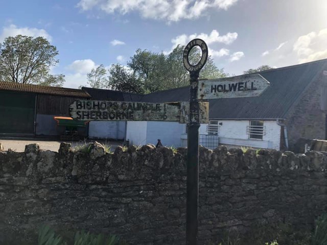
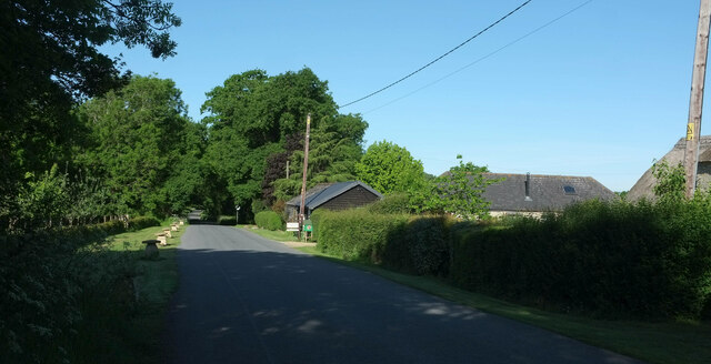
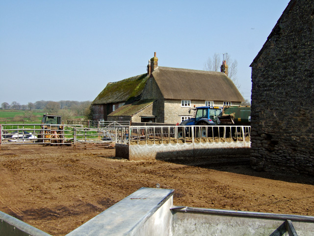
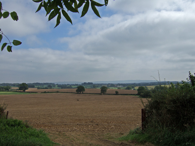
Caundle Wake is a small village located in the county of Dorset, England. Situated in the West Dorset district, it lies approximately 4 miles northeast of the town of Sherborne. The village is nestled in a picturesque rural setting, surrounded by rolling hills and verdant countryside.

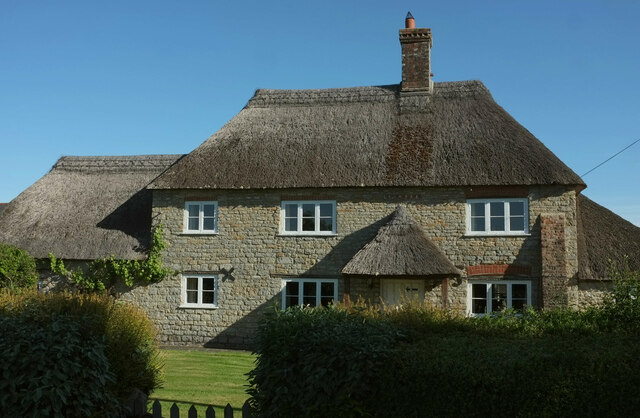
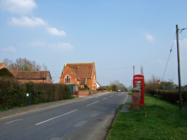
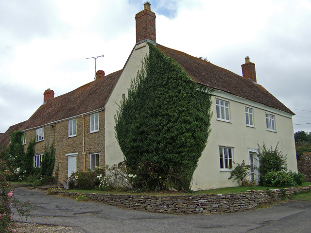
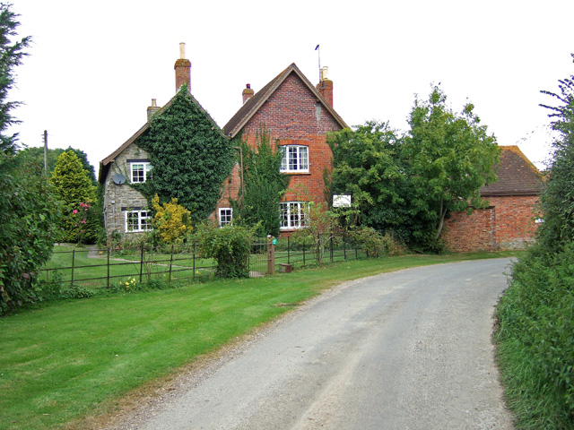
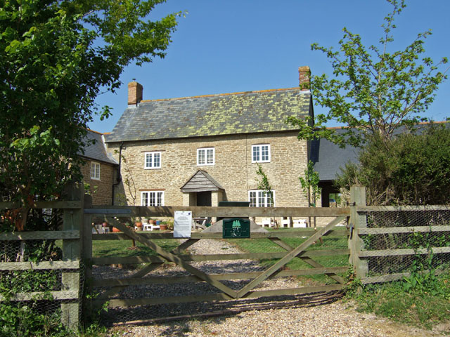
Caundle Wake is a quintessentially English village, known for its charming thatched cottages, historic buildings, and tranquil atmosphere. The village is centered around the 13th-century St. Peter's Church, which stands as an architectural gem and a testament to the area's rich history.

The village is home to a close-knit community, with a population of around 250 residents. It offers a peaceful and idyllic setting for those seeking a slower pace of life away from the hustle and bustle of larger towns and cities.

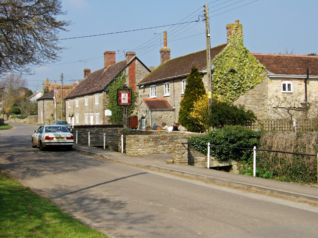
Despite its small size, Caundle Wake has a strong sense of community, with various social activities and events taking place throughout the year. The village pub, The Trooper Inn, serves as a gathering place for locals and visitors alike, offering a warm and friendly atmosphere.

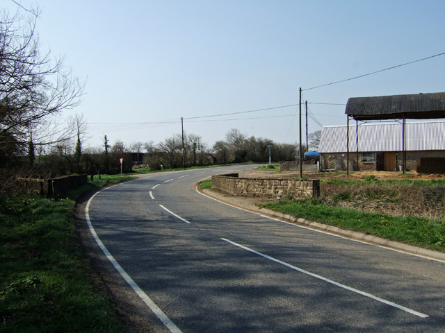
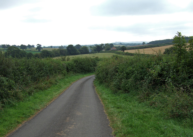
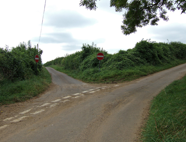
Surrounding Caundle Wake, visitors can explore the beautiful Dorset countryside, with its scenic walking trails and stunning views. The nearby town of Sherborne provides additional amenities, including shops, restaurants, and cultural attractions.

Overall, Caundle Wake is a charming and picturesque village, offering a peaceful retreat in the heart of Dorset's stunning countryside.

If you have any feedback on the listing, please let us know in the comments section below.

Caundle Wake Images

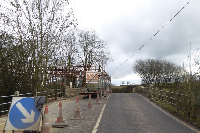
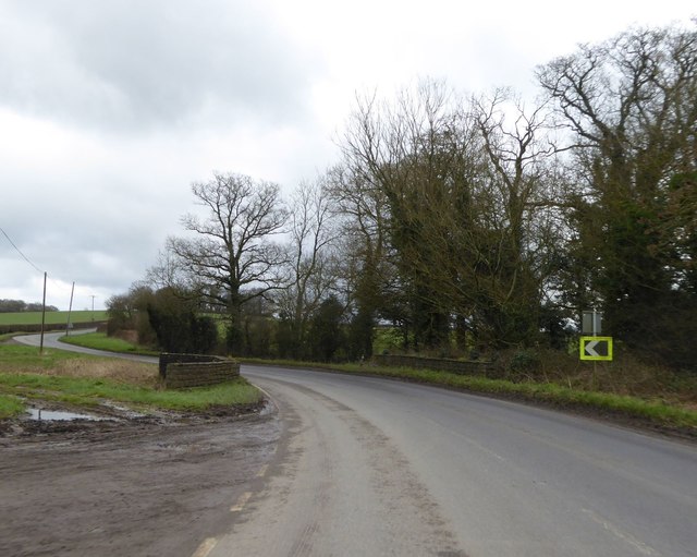
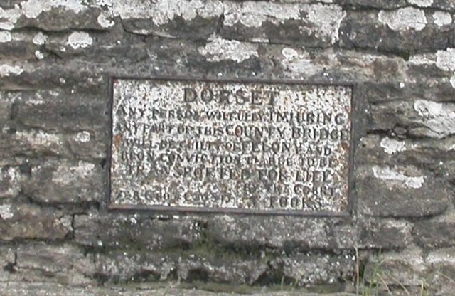
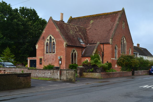
Images are sourced within 2km of 50.911992/-2.4274482 or Grid Reference ST7012. Thanks to Geograph Open Source API. All images are credited.

Repairing Higher Wood Bridge, Bishop's Caundle
Lower Wood Bridge, east of Bishop's Caundle
Old Bridge Marker by the A3030, Higher Wood Bridge, Bishops Caundle parish Bridge Marker by the A3030, in parish of Bishops Caundle (West Dorset District), Higher Wood Bridge, Northeast side of road. (Dangerous road). For some reason this plate was replaced by a new inaccurate plate between 2015/6, presumably when the bridge was re-pointed. 

Inscription reads:-
DORSET
ANY PERSON WILFULLY INJURING
ANY PART OF THIS COUNTY BRIDGE
WILL BE GUILTY OF FELONY AND
UPON CONVICTION LIABLE TO BE
TRANSPORTED FOR LIFE
BY THE COURT
7&8 GEO 4 C30 S13 T FOOKS

Surveyed

Milestone Society National ID: DO_TRAHWObr
Old Bridge Marker by the A3030, Higher Wood Bridge, Bishops Caundle parish
Bridge Marker by the A3030, in parish of Bishops Caundle (West Dorset District), Higher Wood Bridge, Northeast side of road. (Dangerous road). For some reason this plate was replaced by a new inaccurate plate between 2015/6, presumably when the bridge was re-pointed. Inscription reads:- DORSET ANY PERSON WILFULLY INJURING ANY PART OF THIS COUNTY BRIDGE WILL BE GUILTY OF FELONY AND UPON CONVICTION LIABLE TO BE TRANSPORTED FOR LIFE BY THE COURT 7&8 GEO 4 C30 S13 T FOOKS Surveyed Milestone Society National ID: DO_TRAHWObr
Former chapel at Holwell
Direction Sign – Signpost Located on the north side of the A3030 beside the entrance to Woodbridge Farm, opposite Peaceful Lane in Holwell parish. 3 arms, 1 missing, and annulus finial. See also <a title="https://www.geograph.org.uk/photo/458327" href="https://www.geograph.org.uk/photo/458327">Link</a>.

Milestone Society National ID: DO_ST7112
Direction Sign – Signpost
Located on the north side of the A3030 beside the entrance to Woodbridge Farm, opposite Peaceful Lane in Holwell parish. 3 arms, 1 missing, and annulus finial. See also Link. Milestone Society National ID: DO_ST7112
Crouch Hill Farm The thatched farmhouse on Holwell Drove is "possibly of C17 origin ..." <span class="nowrap"><a title="https://historicengland.org.uk/listing/the-list/list-entry/1304895?section=official-list-entry" rel="nofollow ugc noopener" href="https://historicengland.org.uk/listing/the-list/list-entry/1304895?section=official-list-entry">Link</a><img style="margin-left:2px;" alt="External link" title="External link - shift click to open in new window" src="https://s1.geograph.org.uk/img/external.png" width="10" height="10"/></span> .
Crouch Hill Farm
The thatched farmhouse on Holwell Drove is "possibly of C17 origin ..." LinkExternal link .
Holwell Drove The road leaves the village of Holwell. On the extreme right is a glimpse of Crouch Hill Farm <a href="https://www.geograph.org.uk/photo/7184691">ST7010 : Crouch Hill Farm</a>.
Holwell Drove
The road leaves the village of Holwell. On the extreme right is a glimpse of Crouch Hill Farm ST7010 : Crouch Hill Farm.
Ford on the Caundle Brook This ford is found off Blind Lane at Bishop’s Caundle.
Ford on the Caundle Brook
This ford is found off Blind Lane at Bishop’s Caundle.
Holwell Village View from the west on the road to King's Stag.
Holwell Village
View from the west on the road to King's Stag.
Woodbridge on the Sherborne Road Road bridge on the A3030 towards Sherborne, crossing the Caundle Brook.
Woodbridge on the Sherborne Road
Road bridge on the A3030 towards Sherborne, crossing the Caundle Brook.
Woodbridge Farm - Woodbridge The farmhouse is Grade II listed, and consists of two parts. The rear wing is probably early C18, and the front late C18 or early C19.
Woodbridge Farm - Woodbridge
The farmhouse is Grade II listed, and consists of two parts. The rear wing is probably early C18, and the front late C18 or early C19.
A peaceful sign Signpost to Peaceful Lane, near Bishop's Caundle – the sign has since been moved back from the road and the flowers are gone.
A peaceful sign
Signpost to Peaceful Lane, near Bishop's Caundle – the sign has since been moved back from the road and the flowers are gone.
The road to Rowden Mill Farm A lengthy road to nowhere if you miss the 'No Through Road' sign at the turning in Stourton Caundle. Journey's end is Rowden Mill Farm which can be glimpsed in the distance.
The road to Rowden Mill Farm
A lengthy road to nowhere if you miss the 'No Through Road' sign at the turning in Stourton Caundle. Journey's end is Rowden Mill Farm which can be glimpsed in the distance.
Countryside one way system at Bishops Caundle Due to the narrowness of the road, the County Council have imposed a one way system in one branch of this junction approaching Bishop's Caundle. Rather unusual to see 'No Entry' signs in a quiet country lane.
Countryside one way system at Bishops Caundle
Due to the narrowness of the road, the County Council have imposed a one way system in one branch of this junction approaching Bishop's Caundle. Rather unusual to see 'No Entry' signs in a quiet country lane.
Open Farmland near Bishop's Caundle
Eldersfield House Bishop's Caundle
Ryall's Farmhouse Bishops Caundle Early C18 Grade II Listed farmhouse.
Ryall's Farmhouse Bishops Caundle
Early C18 Grade II Listed farmhouse.
Hill Street Farm Holwell The farm is home to the Sherborne flock of Poll Dorset sheep. <span class="nowrap"><a title="http://www.sherbornepolldorsets.co.uk/index.htm" rel="nofollow ugc noopener" href="http://www.sherbornepolldorsets.co.uk/index.htm">Link</a><img style="margin-left:2px;" alt="External link" title="External link - shift click to open in new window" src="https://s1.geograph.org.uk/img/external.png" width="10" height="10"/></span>
Hill Street Farm Holwell
The farm is home to the Sherborne flock of Poll Dorset sheep. LinkExternal link
Show me another place!

Caundle Wake is located at Grid Ref: ST7012 (Lat: 50.911992, Lng: -2.4274482)

Unitary Authority: Dorset

Police Authority: Dorset

What 3 Words

///amazed.complains.cave. Near Stalbridge, Dorset

Nearby Locations

Caundle Wake

Related Wikis

Bishop's Caundle

Bishop's Caundle is a village and civil parish in Dorset, South West England. It is situated 6 miles (9.7 km) south-east of Sherborne. The local travel...

Woodbridge, Dorset

Woodbridge is a hamlet in Dorset, England. The village is on the A3030 road and to the north east of Holwell. == History == Woodbridge was part of the...

Holwell, Dorset

Holwell is a village and civil parish in the county of Dorset in southern England, situated approximately 5 miles (8.0 km) south-east of Sherborne. It...

St Peter and St Paul's Church, Caundle Marsh

St Peter and St Paul's Church is a Church of England parish church in Caundle Marsh, Dorset, England. It was designed by Robert Howard Shout and built...

Caundle Marsh

Caundle Marsh is a village and civil parish in northwest Dorset, England, situated in the Blackmore Vale, 4 miles (6.4 km) southeast of Sherborne. The...

Stourton Caundle

Stourton Caundle is a village and civil parish in the county of Dorset in southwest England. It lies within the Blackmore Vale, about five miles (eight...

King's Stag Memorial Chapel

King's Stag Memorial Chapel is a Church of England chapel in King's Stag, Dorset, England. == History == The memorial chapel at King's Stag was built in...

Alweston

Alweston is a village in Dorset, England, situated roughly 3.5 miles (5.6 km) southeast of Sherborne. Historically it belonged to the Parish of Folke,...

Nearby Amenities

Located within 500m of 50.911992,-2.4274482
Caundle Wake
Place: hamlet
Lat/Long: 50.912707/-2.4266502
The data included in this document is from www.openstreetmap.org. The data is made available under ODbL.

Have you been to Caundle Wake?

Leave your review of Caundle Wake below (or comments, questions and feedback).