Challoch Wood

Wood, Forest in Wigtownshire

Scotland

Challoch Wood

All Saints' Church, Challoch Looking over the A714.
All Saints' Church, Challoch Credit: Billy McCrorie

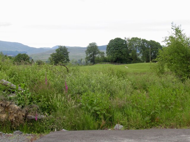
Challoch Wood is a picturesque woodland located in Wigtownshire, Scotland. Covering an area of approximately 200 acres, it is a notable natural attraction in the region. The woodland is situated near the village of Dunragit, just a few miles from the town of Stranraer.

Challoch Wood is renowned for its diverse and abundant flora and fauna, making it a haven for nature enthusiasts and wildlife lovers. The woodland is predominantly composed of mixed broadleaf trees, including oak, birch, and beech, which create a stunning canopy during the summer months. The forest floor is carpeted with a rich variety of wildflowers, adding to its natural beauty.

Several well-maintained walking trails wind their way through Challoch Wood, providing visitors with the opportunity to explore and appreciate the natural surroundings. These trails offer varying levels of difficulty, catering to both casual strollers and more experienced hikers.

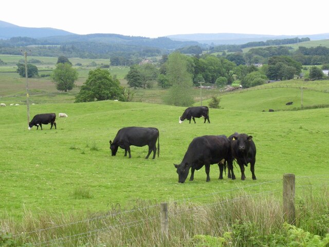
The woodland is home to a wide array of wildlife, including red squirrels, roe deer, and a diverse range of bird species such as woodpeckers and owls. Nature enthusiasts can also spot various species of butterflies, dragonflies, and other insects in the area.

Challoch Wood is not only a natural treasure but also holds historical significance. The remains of an Iron Age fort can be found within the woodland, offering a glimpse into the area's ancient past.

Overall, Challoch Wood is a tranquil and enchanting destination for anyone seeking solace in nature, with its majestic trees, wildlife, and historical remnants providing a captivating experience for visitors.

If you have any feedback on the listing, please let us know in the comments section below.

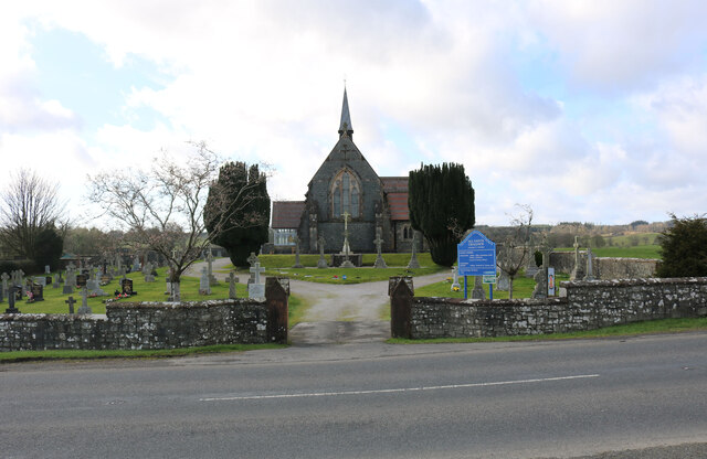
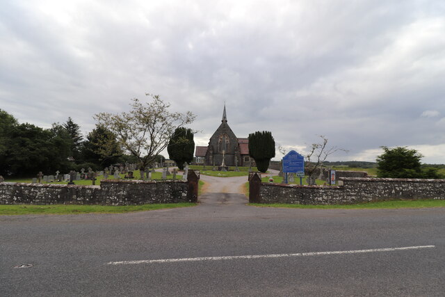
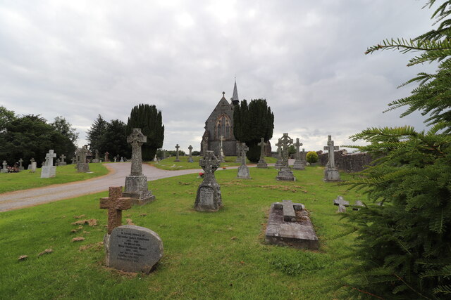
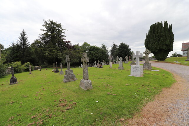
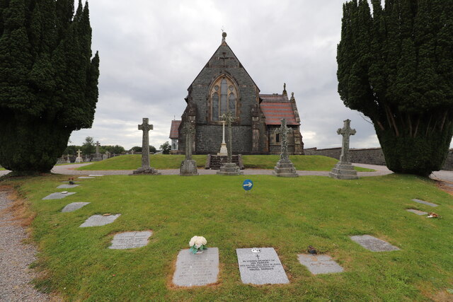
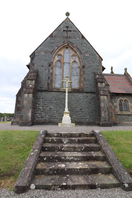
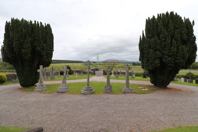
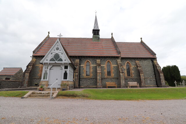
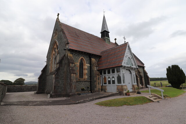
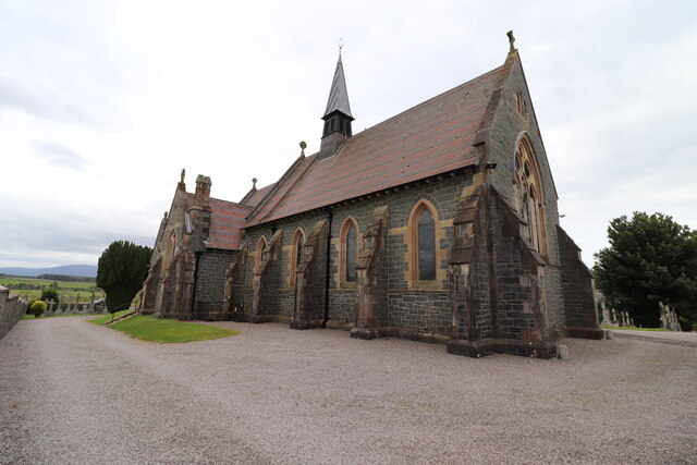
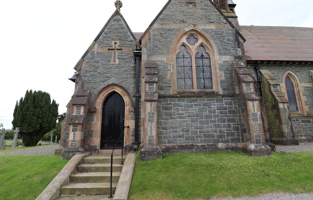
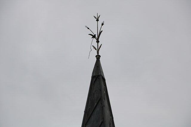
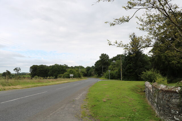
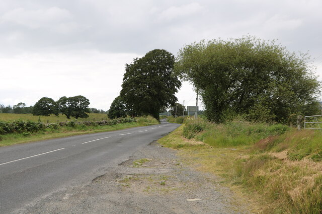
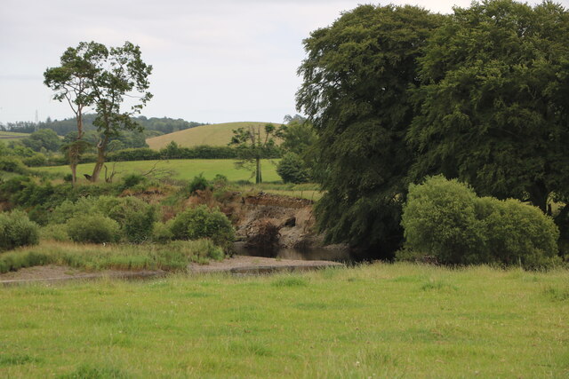
Challoch Wood Images

Images are sourced within 2km of 54.969619/-4.5235079 or Grid Reference NX3866. Thanks to Geograph Open Source API. All images are credited.

All Saints' Church, Challoch Looking over the A714.
All Saints' Church, Challoch
Looking over the A714.
All Saints' Church, Challoch Looking over the A714 on a cloudy day.
All Saints' Church, Challoch
Looking over the A714 on a cloudy day.
Challoch Church & Graveyard Next to the A714.
Challoch Church & Graveyard
Next to the A714.
Challoch Church Graveyard Next to the A714.
Challoch Church Graveyard
Next to the A714.
All Saints' Church, Challoch Accessed from the A714.
All Saints' Church, Challoch
Accessed from the A714.
All Saints' Church, Challoch Near Newton Stewart on the A714.
All Saints' Church, Challoch
Near Newton Stewart on the A714.
Challoch Church Graveyard Viewed from the front of the church and looking out onto the A714.
Challoch Church Graveyard
Viewed from the front of the church and looking out onto the A714.
All Saints' Church, Challoch Near to Newton Stewart on the A714.
All Saints' Church, Challoch
Near to Newton Stewart on the A714.
All Saints' Church, Challoch Just off the A714.
All Saints' Church, Challoch
Just off the A714.
Beautiful Flower Planter At All Saints' Church, Challoch.
Beautiful Flower Planter
At All Saints' Church, Challoch.
All Saints' Church, Challoch Near to Newton Stewart on the A714.
All Saints' Church, Challoch
Near to Newton Stewart on the A714.
All Saints' Church, Challoch Next to the A714.
All Saints' Church, Challoch
Next to the A714.
Spire, All Saints' Church, Challoch Church near Newton Stewart on the A714.
Spire, All Saints' Church, Challoch
Church near Newton Stewart on the A714.
The A714 to Newton Stewart Viewed from the front of Challoch Church.
The A714 to Newton Stewart
Viewed from the front of Challoch Church.
The A714 to Barrhill Viewed from outside Challoch Church.
The A714 to Barrhill
Viewed from outside Challoch Church.
The River Cree Viewed from the A714.
The River Cree
Viewed from the A714.
On emerging from the forest The B7027 emerges from the vast plantations on the descent towards Newton Stewart.
On emerging from the forest
The B7027 emerges from the vast plantations on the descent towards Newton Stewart.
Cattle near Oakburn
Cattle near Oakburn
Show me another place!

Challoch Wood is located at Grid Ref: NX3866 (Lat: 54.969619, Lng: -4.5235079)

Unitary Authority: Dumfries and Galloway

Police Authority: Dumfries and Galloway

What 3 Words

///executive.spelling.cringe. Near Newton Stewart, Dumfries & Galloway

Related Wikis

Newton Stewart F.C.

Newton Stewart Football Club are a football club from the town of Newton Stewart in the Dumfries and Galloway area of Scotland. Formed in 1880, as Newton...

Newton Stewart

Newton Stewart (Gd: Baile Ùr nan Stiùbhartach) is a former burgh town in the historical county of Wigtownshire in Dumfries and Galloway, southwest Scotland...

Douglas Ewart High School

Douglas Ewart High School was opened in 1922 in Newton Stewart, Scotland. It was formed by the amalgamation of the Douglas Free School opened in 1834...

Minnigaff

Minnigaff is a village and civil parish in the historic county of Kirkcudbrightshire in Dumfries and Galloway, Scotland. Lead was discovered there in...

Related Videos

Ayrshire's & Scotland's Ruined Churches (K to T)

Many of Scotland's old kirks were abandoned and replaced by larger and more comfortable buildings. These old kirks were often ...

Nearby Amenities

Located within 500m of 54.969619,-4.5235079
Power: pole
Lat/Long: 54.9680624/-4.5183594
Power: pole
Lat/Long: 54.9679521/-4.5196341
Power: pole
Lat/Long: 54.9679087/-4.5201521
Power: pole
Lat/Long: 54.9677739/-4.52171
Power: pole
Lat/Long: 54.9673518/-4.5230624
Power: pole
Lat/Long: 54.9669197/-4.524403
Power: pole
Lat/Long: 54.9666468/-4.5251713
Power: pole
Lat/Long: 54.9662414/-4.5262928
Power: pole
Lat/Long: 54.9671235/-4.5175813
Power: pole
Lat/Long: 54.9685969/-4.5188483
Power: pole
Lat/Long: 54.969303/-4.5195914
Power: pole
Lat/Long: 54.9700637/-4.5203771
Power: pole
Lat/Long: 54.9708432/-4.5211978
Power: pole
Lat/Long: 54.9715638/-4.5219642
Power: pole
Lat/Long: 54.9720048/-4.5224182
Power: pole
Lat/Long: 54.9728188/-4.5226452
Power: pole
Lat/Long: 54.9732865/-4.5227616
Power: pole
Lat/Long: 54.9738823/-4.5229033
Power: pole
Lat/Long: 54.9711818/-4.5205556
Power: pole
Lat/Long: 54.9715393/-4.5198785
Power: pole
Lat/Long: 54.9719079/-4.5191859
Power: pole
Lat/Long: 54.9724975/-4.5237113
Power: pole
Lat/Long: 54.9721813/-4.524761
Power: pole
Lat/Long: 54.9718472/-4.5258843
Power: pole
Lat/Long: 54.9716011/-4.5267438
Power: pole
Lat/Long: 54.9715042/-4.5270504
Power: pole
Lat/Long: 54.9712536/-4.5278963
Power: pole
Lat/Long: 54.9710554/-4.528554
Power: pole
Lat/Long: 54.9708215/-4.5293379
Power: pole
Lat/Long: 54.9705565/-4.5302303
The data included in this document is from www.openstreetmap.org. The data is made available under ODbL.

Have you been to Challoch Wood?

Leave your review of Challoch Wood below (or comments, questions and feedback).