Challoch Hill
Hill, Mountain in Wigtownshire
Scotland
Challoch Hill
Challoch Hill is a prominent landmark located in the region of Wigtownshire, in southwest Scotland. Rising to a height of 312 meters (1,024 feet), it is classified as a hill rather than a mountain due to its relatively modest elevation. The hill is situated near the village of Kirkcowan, approximately 10 kilometers (6 miles) northeast of the town of Newton Stewart.
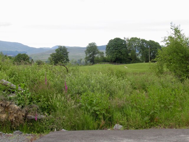
Challoch Hill is characterized by its distinct conical shape, which makes it easily recognizable in the surrounding landscape. It is composed mainly of granite, a type of igneous rock, and its slopes are covered in heather and grass, offering a picturesque view of the countryside. The hill is accessible via a well-defined path that leads to its summit, providing hikers and nature enthusiasts with an enjoyable experience.
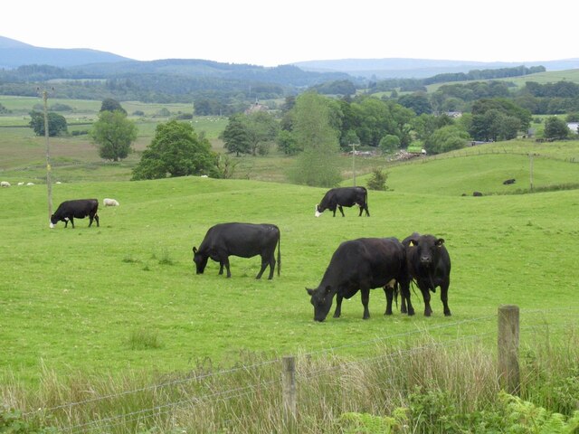
From the top of Challoch Hill, visitors are rewarded with panoramic views of the surrounding Wigtownshire area, including the rolling hills and farmland that characterize the region. On clear days, it is even possible to catch a glimpse of the nearby Galloway Hills and the Irish Sea in the distance.
Challoch Hill holds historical significance as well, with evidence of ancient settlements in the area dating back thousands of years. Archaeological findings suggest that the hill may have been used for ceremonial purposes or as a lookout point in the past.
Overall, Challoch Hill is a popular destination for those seeking outdoor activities, stunning vistas, and a connection to the rich history of the Wigtownshire region.
If you have any feedback on the listing, please let us know in the comments section below.
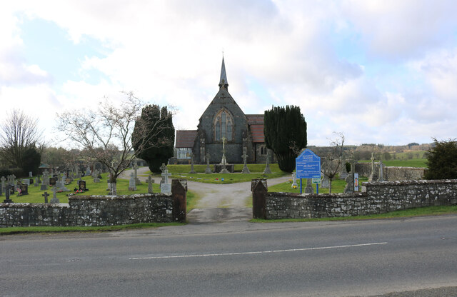
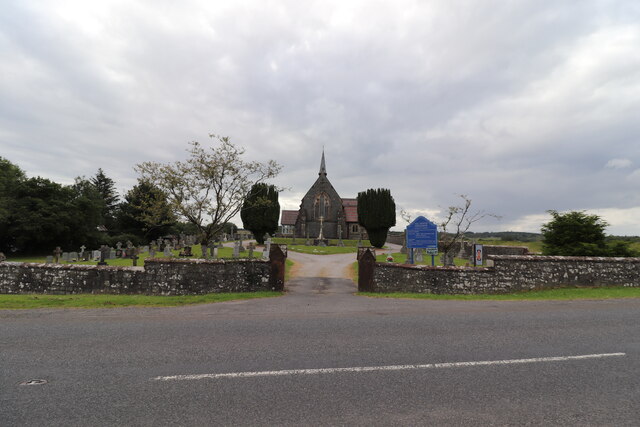
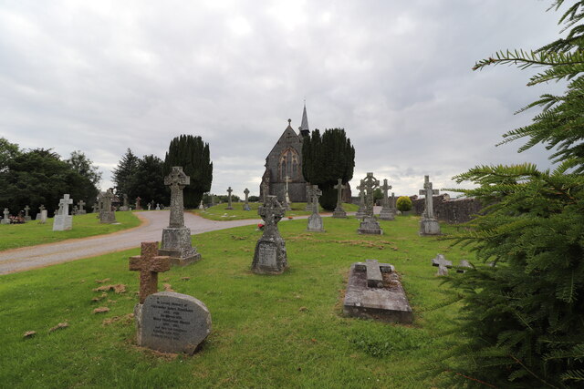
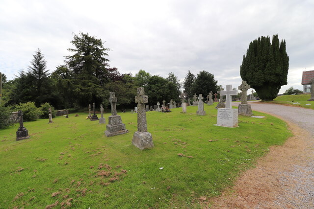
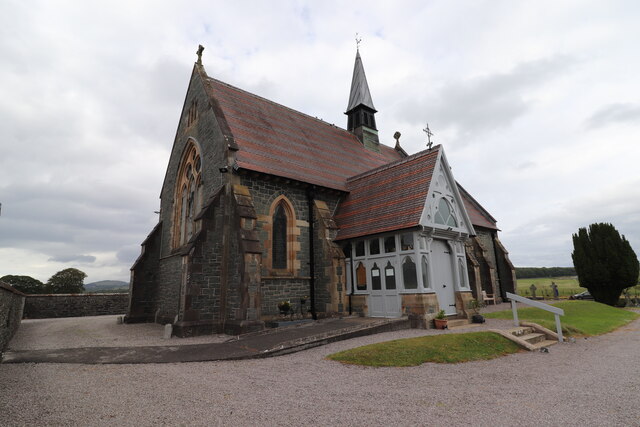
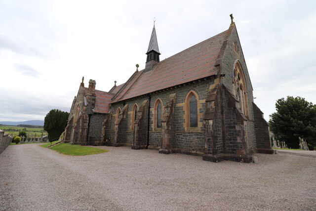
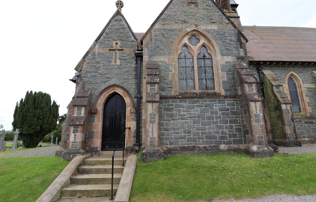
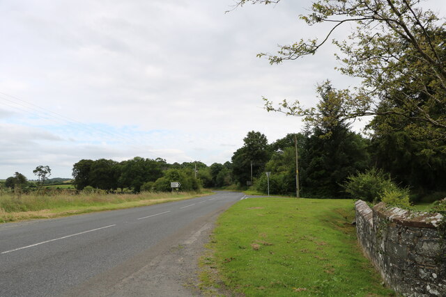
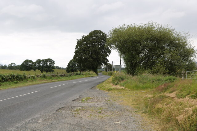
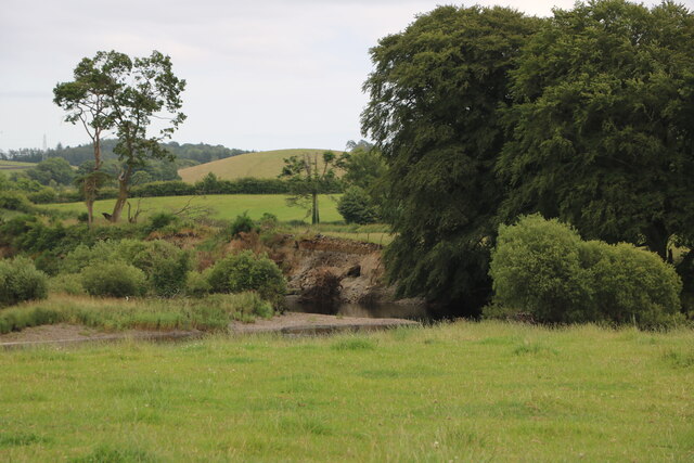
Challoch Hill Images
Images are sourced within 2km of 54.970806/-4.5282546 or Grid Reference NX3866. Thanks to Geograph Open Source API. All images are credited.
Challoch Hill is located at Grid Ref: NX3866 (Lat: 54.970806, Lng: -4.5282546)
Unitary Authority: Dumfries and Galloway
Police Authority: Dumfries and Galloway
What 3 Words
///slant.meatballs.tango. Near Newton Stewart, Dumfries & Galloway
Nearby Locations
Related Wikis

Newton Stewart F.C.
Newton Stewart Football Club are a football club from the town of Newton Stewart in the Dumfries and Galloway area of Scotland. Formed in 1880, as Newton...

Newton Stewart
Newton Stewart (Gd: Baile Ùr nan Stiùbhartach) is a former burgh town in the historical county of Wigtownshire in Dumfries and Galloway, southwest Scotland...

Douglas Ewart High School
Douglas Ewart High School was opened in 1922 in Newton Stewart, Scotland. It was formed by the amalgamation of the Douglas Free School opened in 1834...

Minnigaff
Minnigaff is a village and civil parish in the historic county of Kirkcudbrightshire in Dumfries and Galloway, Scotland. Lead was discovered there in...

Newton Stewart railway station
Newton Stewart railway station served the town of Newton Stewart, Dumfries and Galloway, Scotland from 1861 to 1965 on the Portpatrick and Wigtownshire...
Penninghame
Penninghame in Wigtownshire, Dumfries and Galloway, Scotland, is a civil parish area, 8 miles (N. W.) from Wigtown. The area is approx 16 miles in length...

Newton Stewart Hospital
Newton Stewart Hospital is a health facility in Newton Stewart, Dumfries and Galloway, Scotland. It is managed by NHS Dumfries and Galloway. == History... ==

McMillan Hall, Newton Stewart
The McMillan Hall is a municipal building in Dashwood Square in Newton Stewart, Dumfries and Galloway, Scotland. The structure, which is used as a community...
Related Videos

Country roads… take me home… #scotland #countryroads #driving #peace #rspb #travel #drivesafe
shorts #viral #youtubeshorts #new #borntobefree #countryroads #scotland #unitedkingdom #travel #enjoylife.

Mindful Moment @ RSPB Wood of Cree #mindfulmoment #shorts #viral #new #uk #travel #enjoylife
shorts #viral #youtubeshorts #new #borntobefree #uk #unitedkingdom #travel #enjoylife #scotland.

Mindful Moment @ RSPB Wood of Cree #mindfulmoment #scotland #shorts #viral #new #travel #enjoylife
shorts #viral #youtubeshorts #new #borntobefree #uk #unitedkingdom #travel #enjoylife.

Ayrshire's & Scotland's Ruined Churches (K to T)
Many of Scotland's old kirks were abandoned and replaced by larger and more comfortable buildings. These old kirks were often ...
Nearby Amenities
Located within 500m of 54.970806,-4.5282546Have you been to Challoch Hill?
Leave your review of Challoch Hill below (or comments, questions and feedback).