Challoch Moss
Wood, Forest in Wigtownshire
Scotland
Challoch Moss
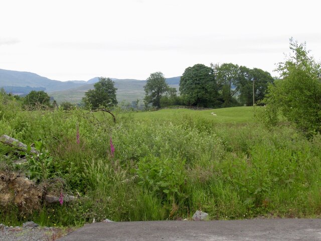
Challoch Moss is a renowned wooded area located in Wigtownshire, Scotland. Situated in the southwest region of the country, it covers a significant portion of the landscape. The moss is known for its diverse range of flora and fauna, making it an attractive destination for nature enthusiasts.
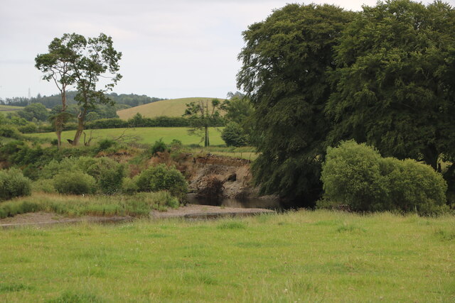
The moss is predominantly composed of a dense forest, characterized by a mixture of deciduous and coniferous trees. Towering Scots pine trees dominate the area, providing a majestic backdrop to the moss. The woodland floor is covered in a thick layer of moss, creating a soft and cushiony terrain.
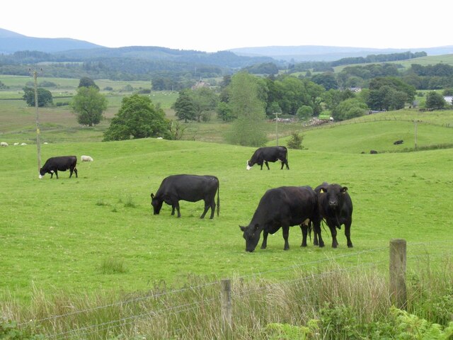
A variety of wildlife can be found within Challoch Moss. The forest is home to numerous bird species, including woodpeckers, owls, and various songbirds. Mammals such as red squirrels, badgers, and roe deer can also be spotted, adding to the biodiversity of the area.
Several nature trails wind through the moss, allowing visitors to explore and appreciate the natural beauty that surrounds them. These trails provide an opportunity to observe the local flora and fauna up close, and also offer picturesque views of the moss and its surroundings.
Challoch Moss is a peaceful and serene location, providing a tranquil escape from the hustle and bustle of daily life. It serves as a valuable habitat for many species and is cherished by locals and tourists alike for its natural splendor.
If you have any feedback on the listing, please let us know in the comments section below.
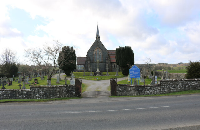
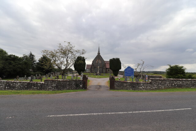
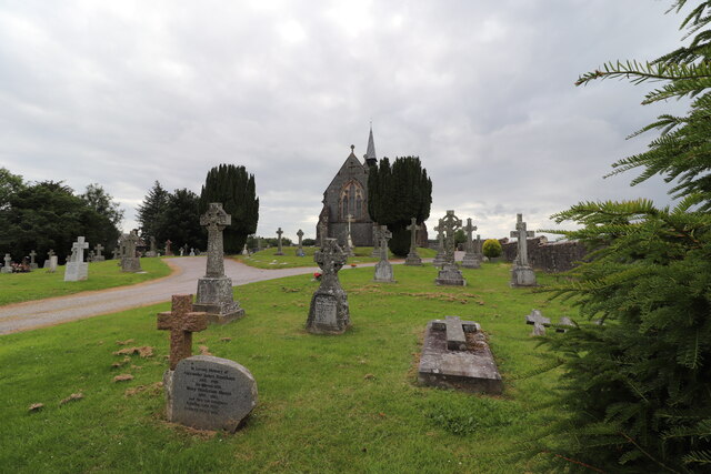
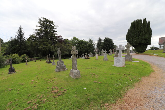
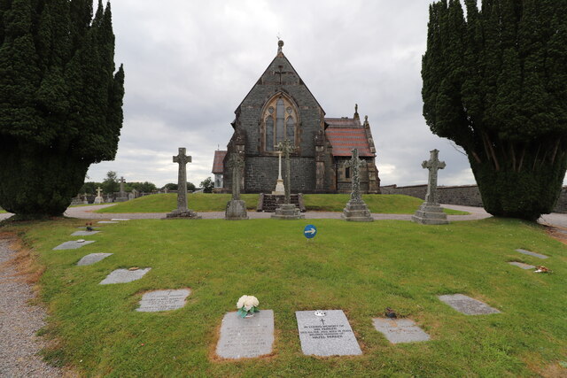
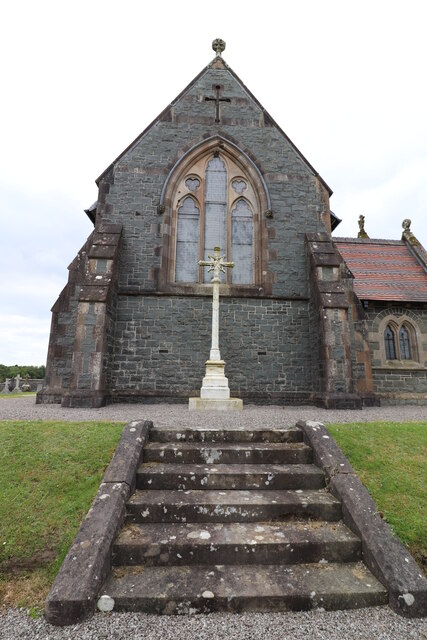
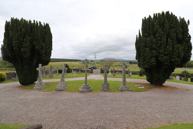
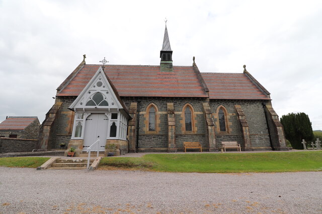
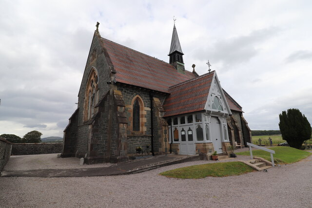
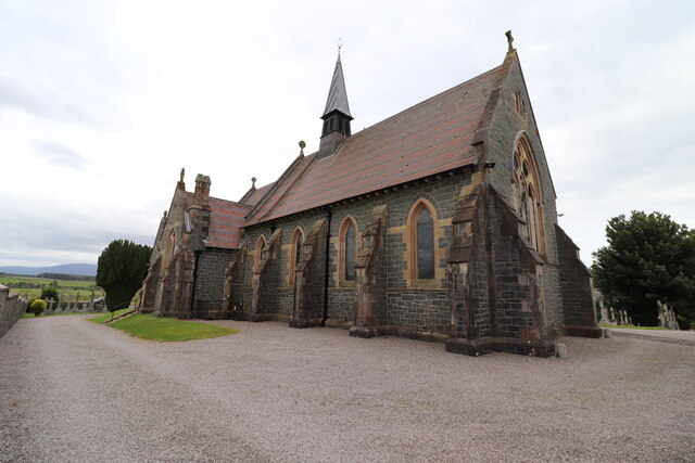
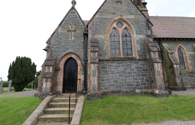
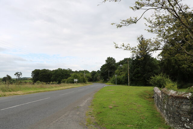
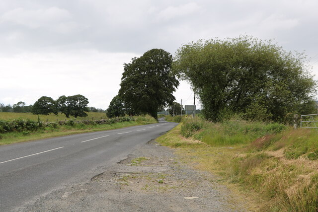
Challoch Moss Images
Images are sourced within 2km of 54.968956/-4.5307789 or Grid Reference NX3866. Thanks to Geograph Open Source API. All images are credited.
Challoch Moss is located at Grid Ref: NX3866 (Lat: 54.968956, Lng: -4.5307789)
Unitary Authority: Dumfries and Galloway
Police Authority: Dumfries and Galloway
What 3 Words
///reserves.often.negotiators. Near Newton Stewart, Dumfries & Galloway
Nearby Locations
Related Wikis

Newton Stewart F.C.
Newton Stewart Football Club are a football club from the town of Newton Stewart in the Dumfries and Galloway area of Scotland. Formed in 1880, as Newton...

Newton Stewart
Newton Stewart (Gd: Baile Ùr nan Stiùbhartach) is a former burgh town in the historical county of Wigtownshire in Dumfries and Galloway, southwest Scotland...

Douglas Ewart High School
Douglas Ewart High School was opened in 1922 in Newton Stewart, Scotland. It was formed by the amalgamation of the Douglas Free School opened in 1834...

Newton Stewart railway station
Newton Stewart railway station served the town of Newton Stewart, Dumfries and Galloway, Scotland from 1861 to 1965 on the Portpatrick and Wigtownshire...

Minnigaff
Minnigaff is a village and civil parish in the historic county of Kirkcudbrightshire in Dumfries and Galloway, Scotland. Lead was discovered there in...
Penninghame
Penninghame in Wigtownshire, Dumfries and Galloway, Scotland, is a civil parish area, 8 miles (N. W.) from Wigtown. The area is approx 16 miles in length...

Newton Stewart Hospital
Newton Stewart Hospital is a health facility in Newton Stewart, Dumfries and Galloway, Scotland. It is managed by NHS Dumfries and Galloway. == History... ==

McMillan Hall, Newton Stewart
The McMillan Hall is a municipal building in Dashwood Square in Newton Stewart, Dumfries and Galloway, Scotland. The structure, which is used as a community...
Nearby Amenities
Located within 500m of 54.968956,-4.5307789Have you been to Challoch Moss?
Leave your review of Challoch Moss below (or comments, questions and feedback).