Barraer Wood

Wood, Forest in Wigtownshire

Scotland

Barraer Wood

Drumterlie Cottage Looking over Culbratten Moor.
Drumterlie Cottage Credit: Russel Wills

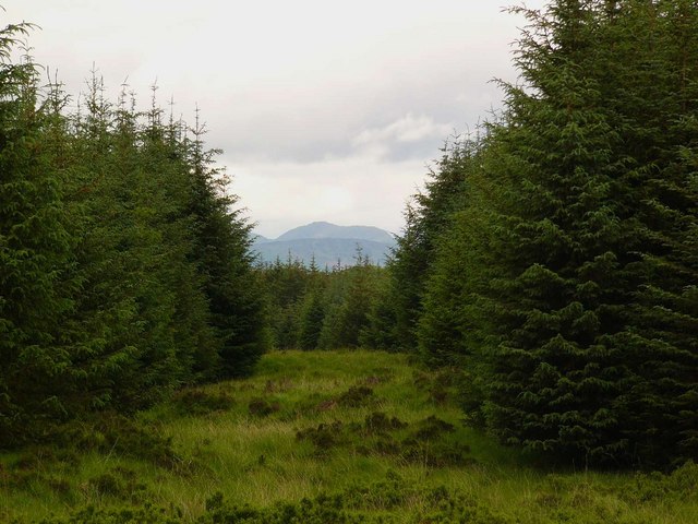
Barraer Wood, located in the picturesque region of Wigtownshire in southwest Scotland, is a captivating forest that spans over a vast area of approximately 2,000 acres. Nestled amidst the rolling hills and lush countryside, this woodland is a haven for nature enthusiasts and hikers alike.

The wood boasts an impressive variety of tree species, including oak, beech, Scots pine, and silver birch, which create a diverse and enchanting landscape. The dense canopy formed by these towering trees provides a cool and shaded environment, perfect for a leisurely stroll or a peaceful picnic.

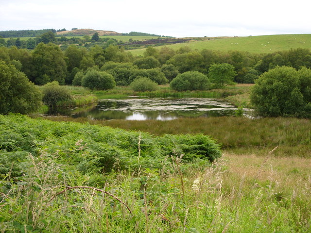
Barraer Wood is also home to a rich assortment of wildlife, making it a popular destination for birdwatchers and wildlife photographers. Visitors may catch a glimpse of majestic birds of prey soaring above, such as the red kite and buzzard. Additionally, the wood is home to various woodland creatures, including deer, foxes, badgers, and squirrels, which adds to the enchanting atmosphere.

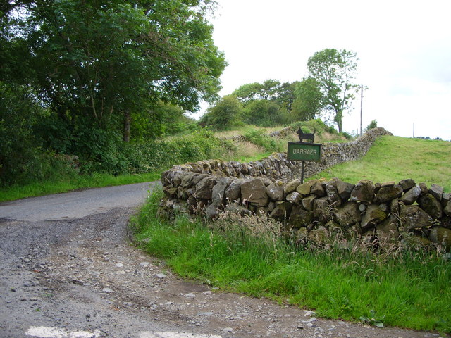
An extensive network of well-maintained trails and paths wind their way through Barraer Wood, offering visitors the opportunity to explore its hidden treasures. Whether walking, cycling, or horse riding, there are routes suitable for all abilities, allowing visitors to immerse themselves in the natural beauty and tranquility of the forest.

For those seeking a deeper understanding of the wood's history and ecological importance, there are information boards scattered throughout the area, providing educational insights into the woodland's flora, fauna, and conservation efforts.

Barraer Wood, with its breathtaking scenery, diverse wildlife, and peaceful ambiance, is a true gem within Wigtownshire, offering a haven for nature-lovers and a chance to connect with the natural world.

If you have any feedback on the listing, please let us know in the comments section below.
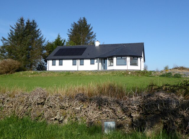
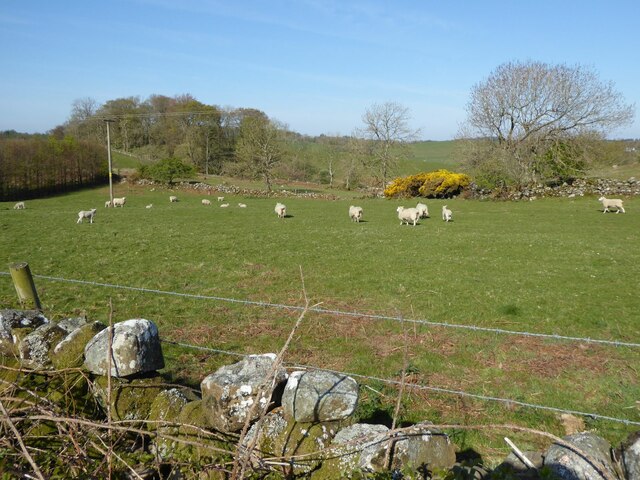
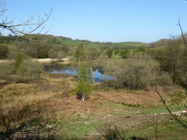
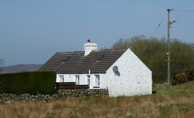
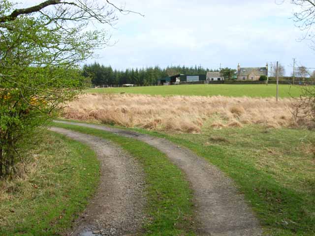
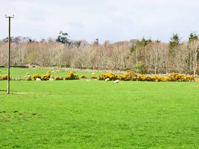
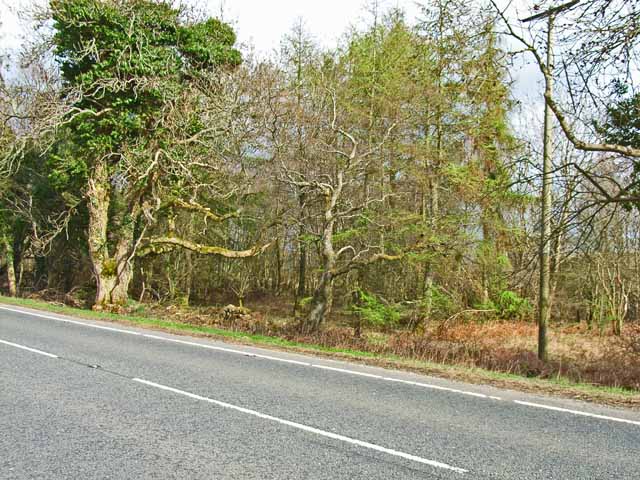
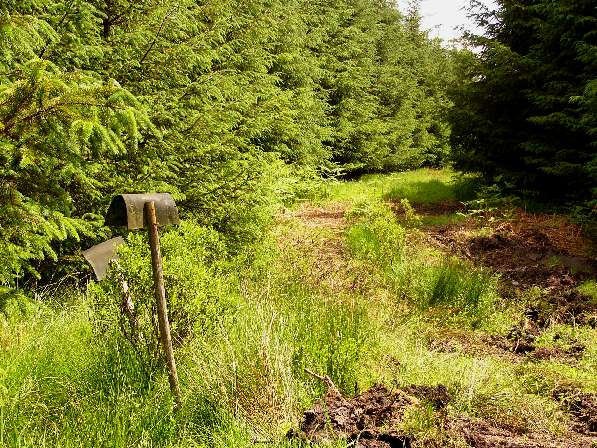
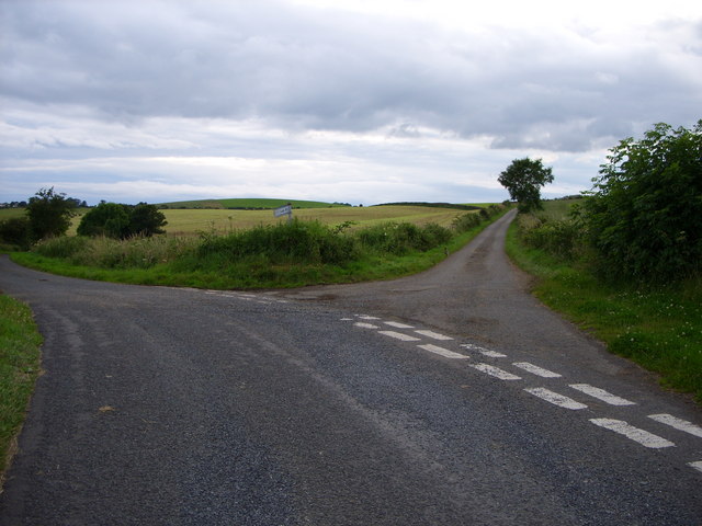
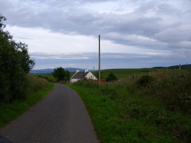
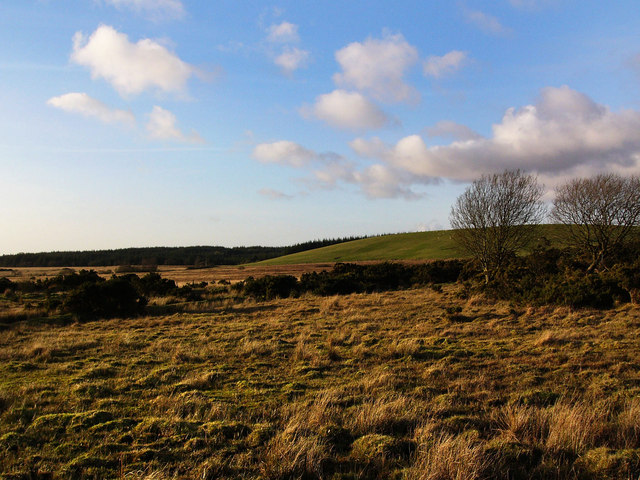
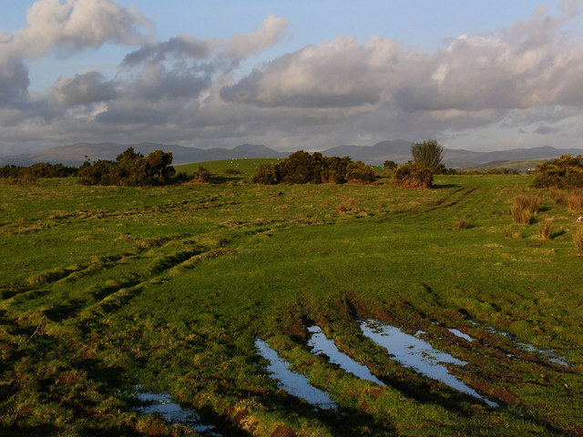
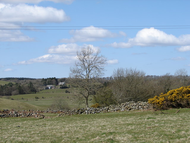
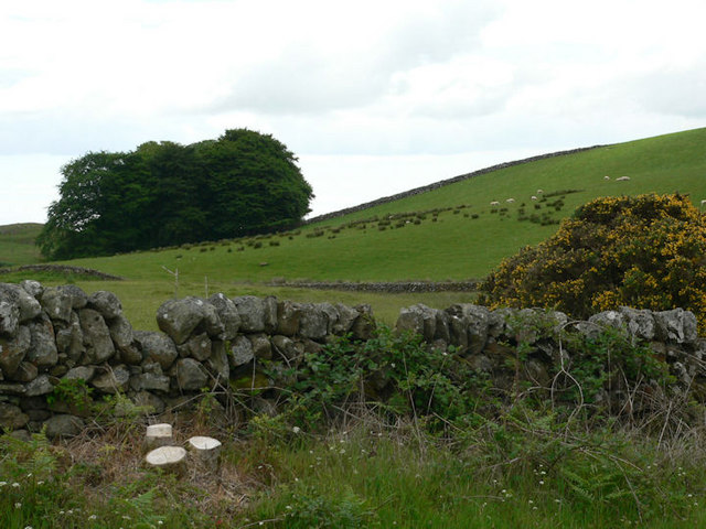
Barraer Wood Images

Images are sourced within 2km of 54.92774/-4.5282203 or Grid Reference NX3862. Thanks to Geograph Open Source API. All images are credited.

Drumterlie Cottage Looking over Culbratten Moor.
Drumterlie Cottage
Looking over Culbratten Moor.
Sheep and lambs  At Drumterlie.
Sheep and lambs
At Drumterlie.
Pond below Culbratten Hill Fed by Merton Burn.
With hides for wild-fowling.
Pond below Culbratten Hill
Fed by Merton Burn. With hides for wild-fowling.
Low Barskeoch On the road to Newton Stewart.
Low Barskeoch
On the road to Newton Stewart.
Lurneoch Off the A75
Lurneoch
Off the A75
Field near Benfield Seen from the A75. Gorse (or furze) seems to be a major problem having invaded many of the fields in south-west Scotland
Field near Benfield
Seen from the A75. Gorse (or furze) seems to be a major problem having invaded many of the fields in south-west Scotland
Woodland alongside the A75 Although there is little trace to be seen now, the former Dumfries to Stranraer railway (closed in the 1960s) ran through this belt of woodland parallel to the A75.
Woodland alongside the A75
Although there is little trace to be seen now, the former Dumfries to Stranraer railway (closed in the 1960s) ran through this belt of woodland parallel to the A75.
Firebeaters and forest track I can't imagine these would be much use if a forest fire broke out in this mature wood!
Firebeaters and forest track
I can't imagine these would be much use if a forest fire broke out in this mature wood!
Firebreak The hill in view through the firebreak is Curleywee, in the Minnigaff Hills.
Firebreak
The hill in view through the firebreak is Curleywee, in the Minnigaff Hills.
Culbratten pond
Culbratten pond
Barraer farm road
Barraer farm road
Road sign at Barvennan Junction
Fork in the road at Barlaughan
Cottage just past Barvennan Farm
Barvennan Moss The green hill is Bar Fauld. The conifers in the distance are on the High Moor of Killiemore, near the abandoned crofting community of Killiemore.
Barvennan Moss
The green hill is Bar Fauld. The conifers in the distance are on the High Moor of Killiemore, near the abandoned crofting community of Killiemore.
Rough pasture near Barvennan Looking to the Galloway Hills in the far distance. The round green hill in the middle distance is called Auld Hill.
Rough pasture near Barvennan
Looking to the Galloway Hills in the far distance. The round green hill in the middle distance is called Auld Hill.
Wyncherry Yard View from Wyncherry Yard across fields of Drumterlie down to Merton Burn. Beyond is Barnean Farm on the Merton Estate.
Wyncherry Yard
View from Wyncherry Yard across fields of Drumterlie down to Merton Burn. Beyond is Barnean Farm on the Merton Estate.
Moorland grazing
Moorland grazing
Show me another place!

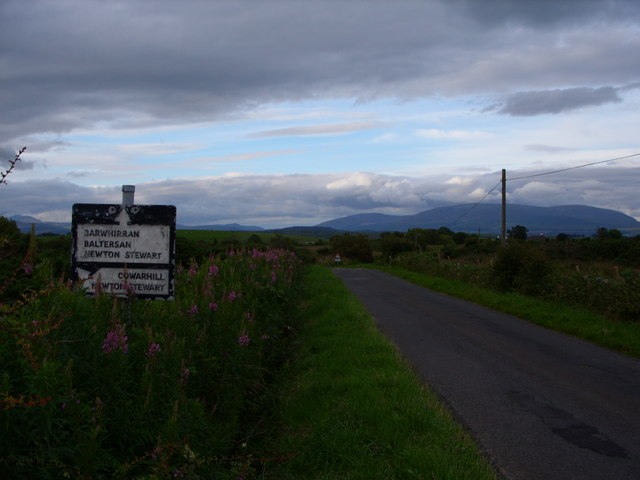
Barraer Wood is located at Grid Ref: NX3862 (Lat: 54.92774, Lng: -4.5282203)

Unitary Authority: Dumfries and Galloway

Police Authority: Dumfries and Galloway

What 3 Words

///passenger.yourself.roof. Near Newton Stewart, Dumfries & Galloway

Nearby Locations

Barraer Wood

Related Wikis

Mains of Penninghame Platform railway station

Mains of Penninghame Platform railway station (NX410617) was a halt on the Wigtownshire Railway branch line, from Newton Stewart to Whithorn, of the Portpatrick...

Newton Stewart Hospital

Newton Stewart Hospital is a health facility in Newton Stewart, Dumfries and Galloway, Scotland. It is managed by NHS Dumfries and Galloway. == History... ==

Newton Stewart railway station

Newton Stewart railway station served the town of Newton Stewart, Dumfries and Galloway, Scotland from 1861 to 1965 on the Portpatrick and Wigtownshire...

Newton Stewart F.C.

Newton Stewart Football Club are a football club from the town of Newton Stewart in the Dumfries and Galloway area of Scotland. Formed in 1880, as Newton...

Nearby Amenities

Located within 500m of 54.92774,-4.5282203
Meadow Hill
Natural: peak
Lat/Long: 54.931616/-4.5264586
Power: pole
Lat/Long: 54.923963/-4.5267962
Power: pole
Lat/Long: 54.9244145/-4.5272599
Power: pole
Lat/Long: 54.9248282/-4.5265168
Power: pole
Lat/Long: 54.9257078/-4.5249628
Power: pole
Lat/Long: 54.925797/-4.5248095
Power: pole
Lat/Long: 54.9247078/-4.5226384
Power: pole
Lat/Long: 54.9248895/-4.5231215
The data included in this document is from www.openstreetmap.org. The data is made available under ODbL.

Have you been to Barraer Wood?

Leave your review of Barraer Wood below (or comments, questions and feedback).