Skeldon Wood
Wood, Forest in Ayrshire
Scotland
Skeldon Wood
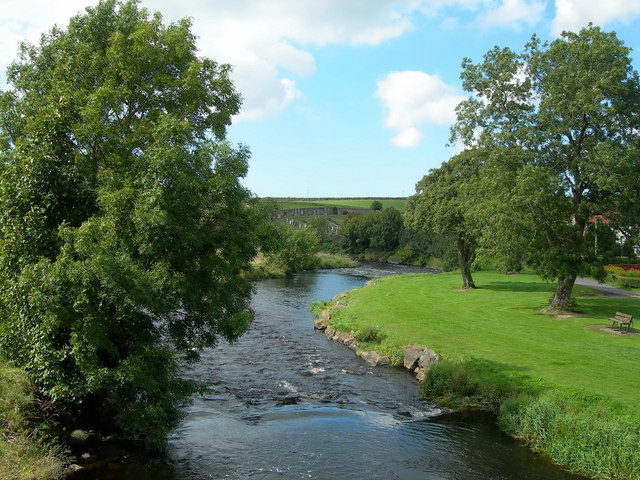
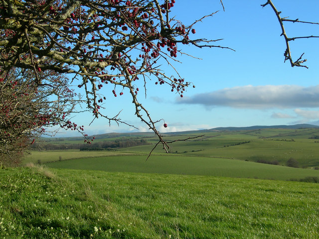
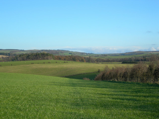
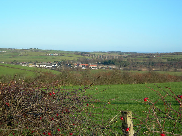
Skeldon Wood, situated in Ayrshire, Scotland, is a picturesque forest that covers an area of approximately 200 hectares. It is located about 6 miles northeast of Ayr and is easily accessible via the A77 road. Skeldon Wood is managed by Forestry and Land Scotland and offers a tranquil escape for nature lovers and outdoor enthusiasts.
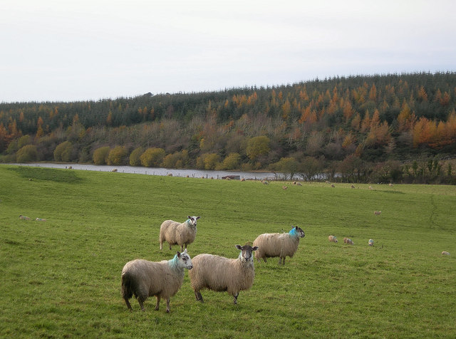
The woodland is primarily composed of mixed broadleaf and conifer trees, including species such as oak, beech, birch, and Scots pine. These trees create a diverse and vibrant ecosystem, providing habitat for a wide range of wildlife. Visitors can spot various bird species, including woodpeckers, owls, and finches, as well as mammals like red squirrels, roe deer, and foxes.
The forest boasts several well-maintained trails that cater to different abilities and interests. These paths wind through the woodlands, allowing visitors to immerse themselves in the natural beauty of the surroundings. Additionally, the network of trails provides opportunities for walking, jogging, and cycling, making Skeldon Wood a popular destination for outdoor activities.
The forest also holds historical significance, as remnants of ancient settlements and structures can be found within its boundaries. These archaeological sites offer a glimpse into the area's past and add to the overall charm of Skeldon Wood.
Overall, Skeldon Wood in Ayrshire is a captivating destination that combines natural beauty, recreational opportunities, and historical intrigue. Whether one seeks a peaceful walk in nature, wildlife spotting, or a deeper connection with Scotland's past, Skeldon Wood offers it all.
If you have any feedback on the listing, please let us know in the comments section below.
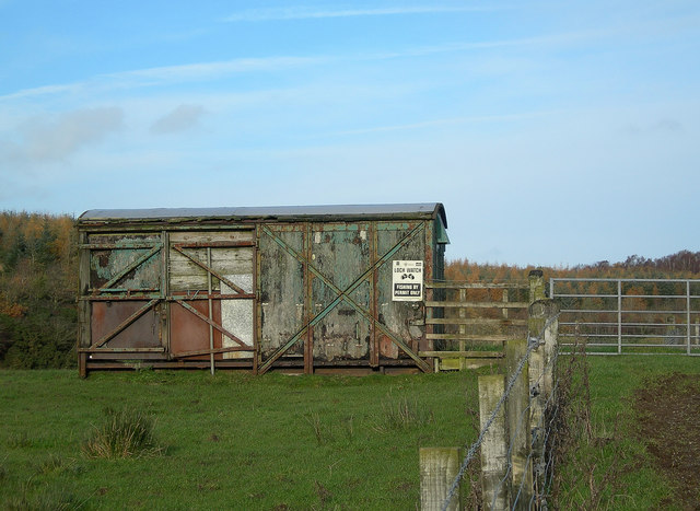
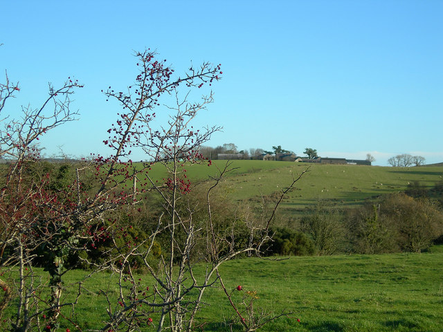
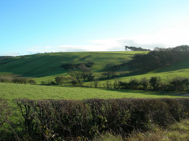
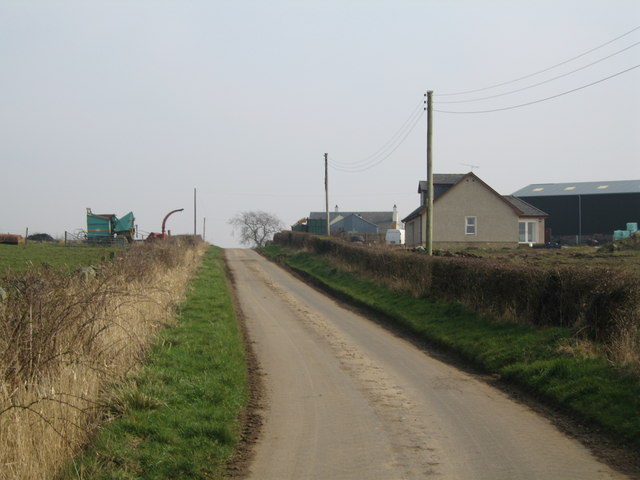
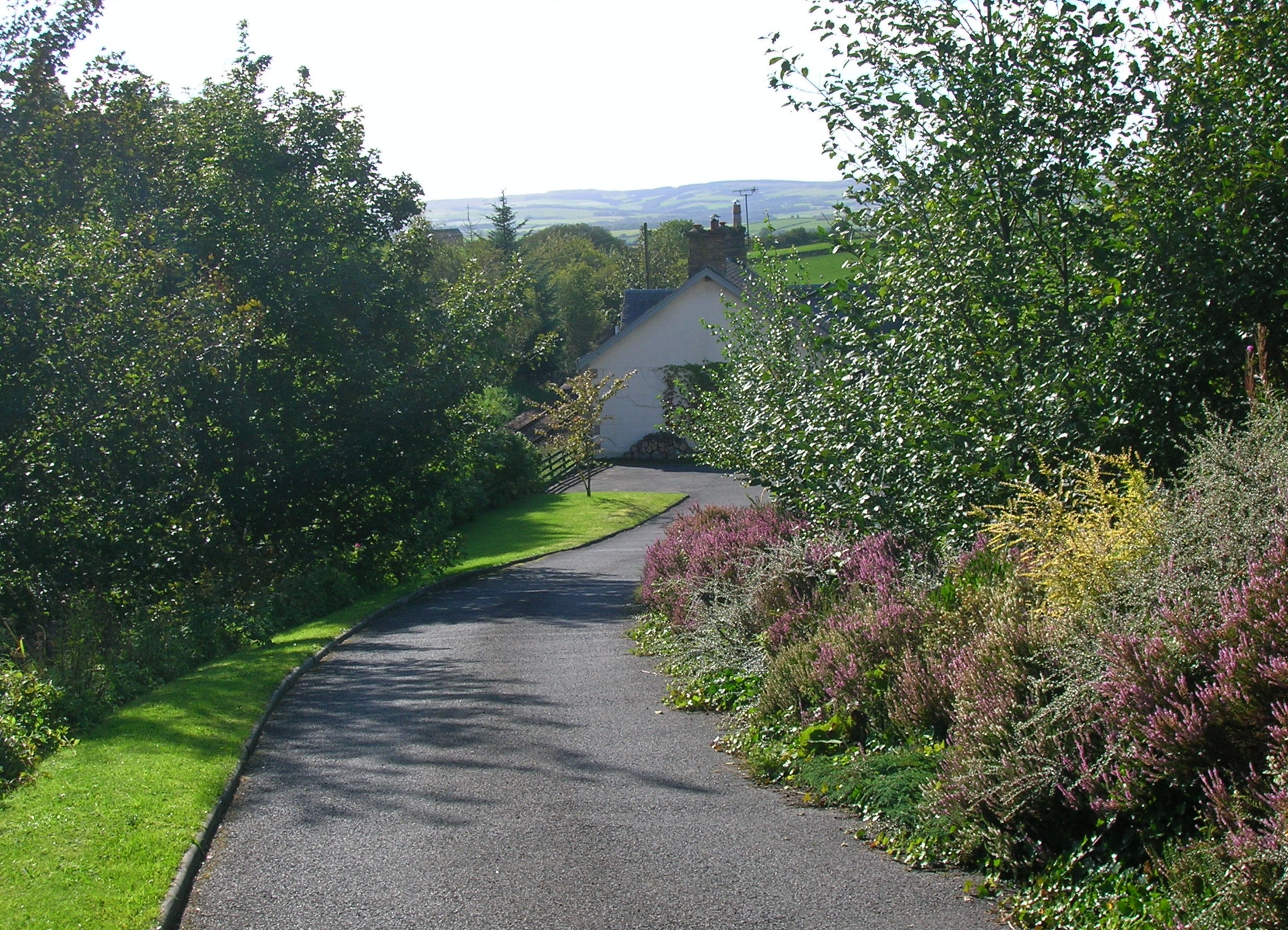
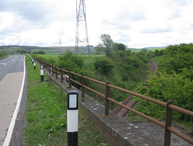
Skeldon Wood Images
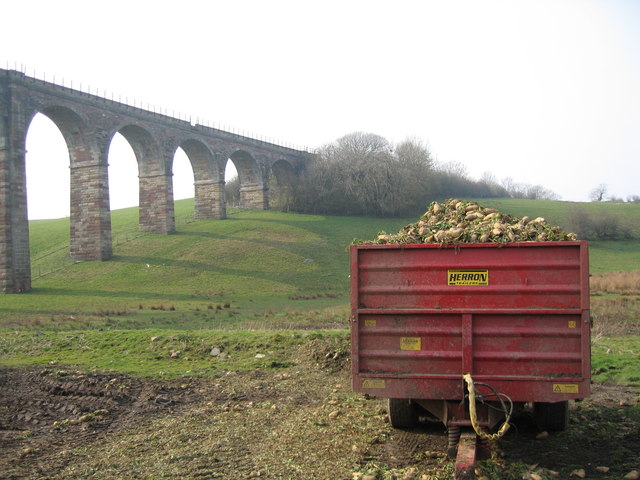
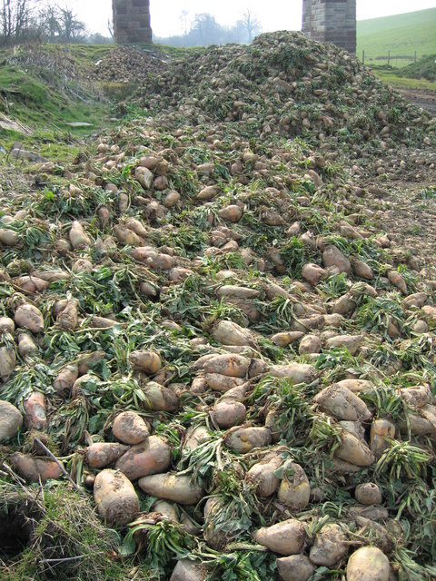
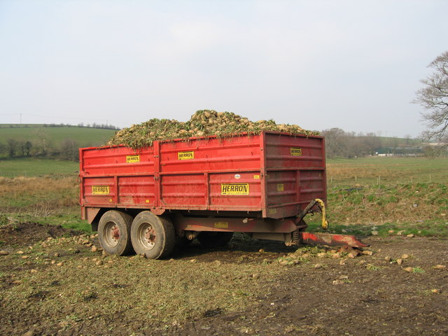
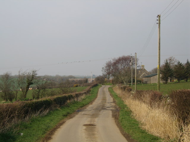
Images are sourced within 2km of 55.388141/-4.5667695 or Grid Reference NS3713. Thanks to Geograph Open Source API. All images are credited.

Skeldon Wood is located at Grid Ref: NS3713 (Lat: 55.388141, Lng: -4.5667695)
Unitary Authority: South Ayrshire
Police Authority: Ayrshire
What 3 Words
///illogical.edicts.uses. Near Dalrymple, East Ayrshire
Nearby Locations
Related Wikis

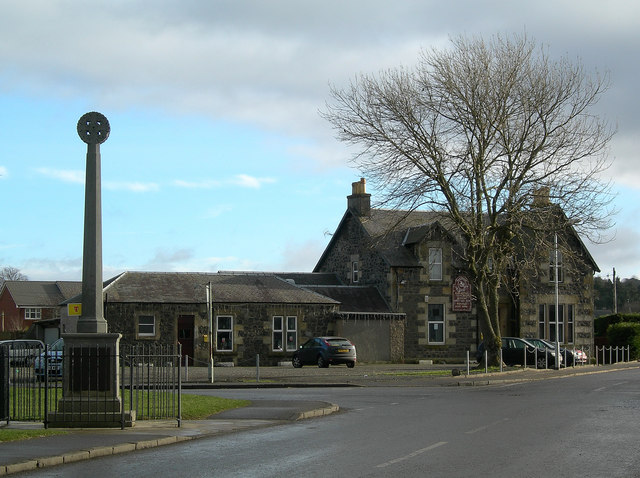
Dalrymple, East Ayrshire
Dalrymple (Scots: Drumple) is a village and parish in East Ayrshire, Scotland, lying in the Doon Valley on the north bank of the River Doon. The population...
Hollybush railway station
Hollybush railway station was a railway station in East Ayrshire, Scotland that served the nearby Hollybush Hotel and the rural district. The line on which...

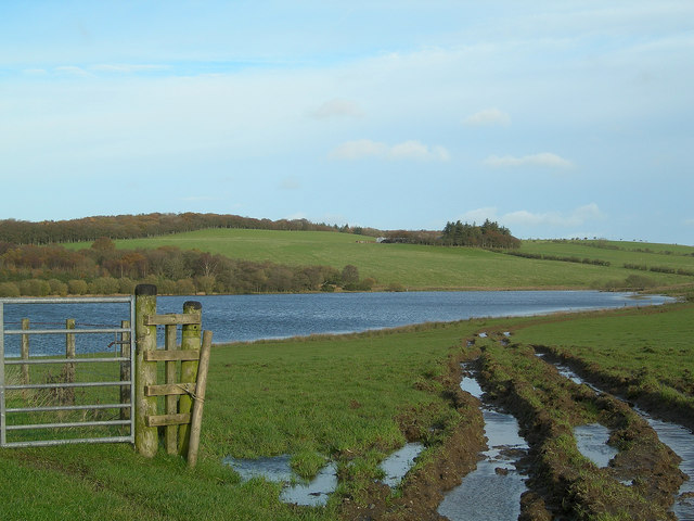
Lindston Loch, South Ayrshire
Lindston Loch (NS 37272 16195) was a small freshwater loch situated within a glacial 'kettle hole.' The loch lies in the South Ayrshire Council Area, Parish...
Holehouse Junction railway station
Holehouse Junction railway station was an exchange railway station in East Ayrshire, Scotland. The line on which the station later came to stand was originally...
Nearby Amenities
Located within 500m of 55.388141,-4.5667695Have you been to Skeldon Wood?
Leave your review of Skeldon Wood below (or comments, questions and feedback).