Black Mount Wood
Wood, Forest in Ayrshire
Scotland
Black Mount Wood
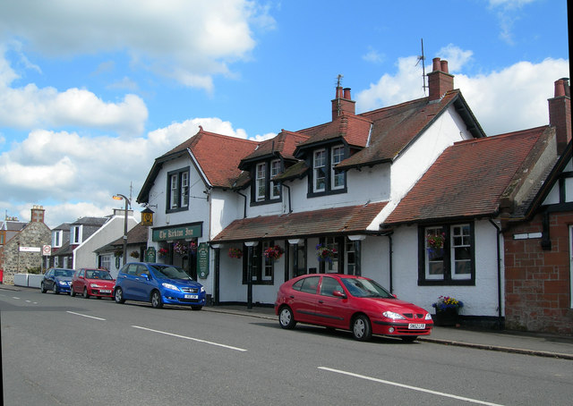
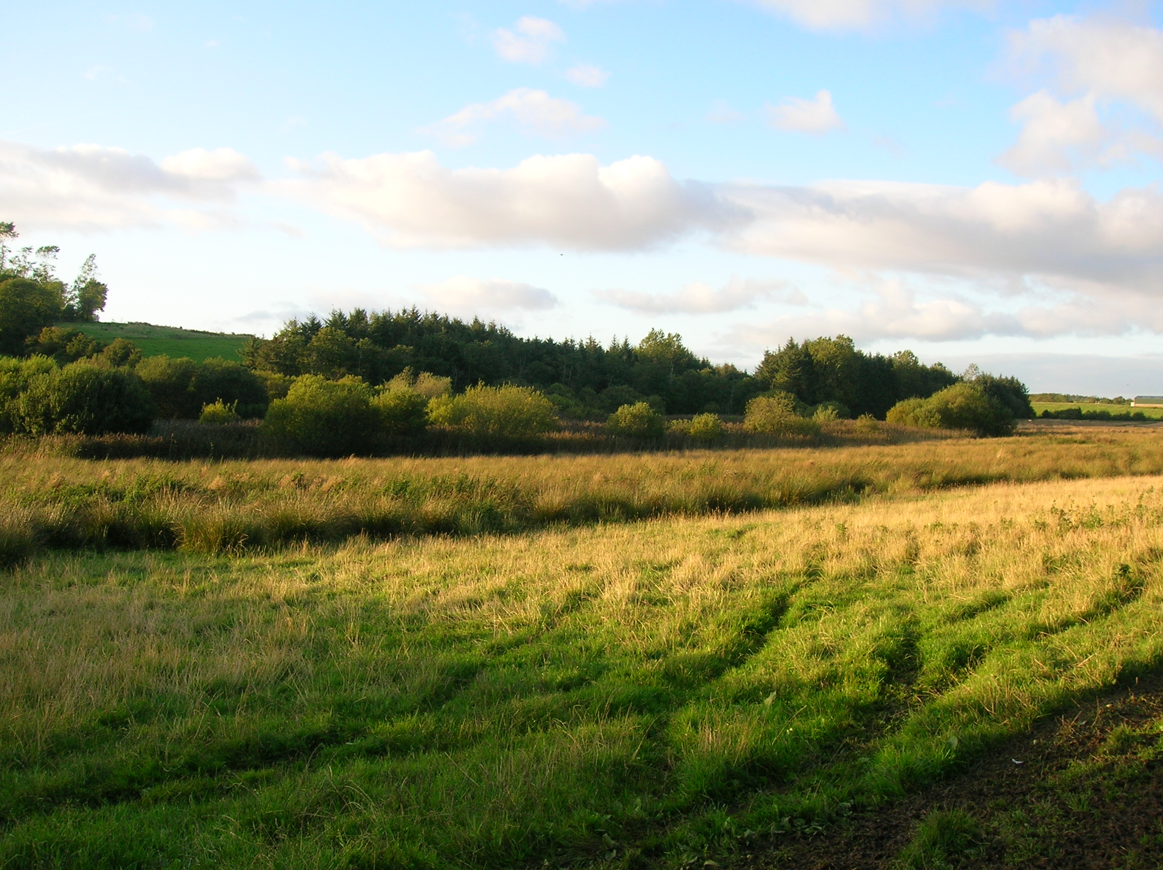
Black Mount Wood is a picturesque woodland located in Ayrshire, Scotland. It covers an area of approximately 120 hectares and is situated near the town of Straiton. The wood is part of the Galloway Forest Park, which is known for its outstanding natural beauty.
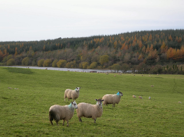
The woodland primarily consists of native deciduous trees such as oak, birch, and rowan. The trees create a dense canopy, providing a habitat for a variety of wildlife including red squirrels, roe deer, and numerous bird species. This makes Black Mount Wood a popular destination for nature enthusiasts and birdwatchers.
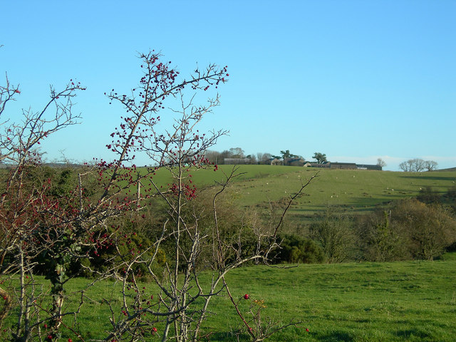
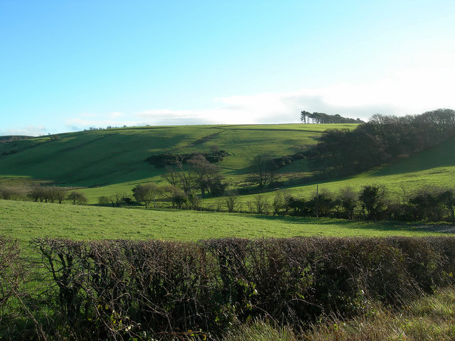
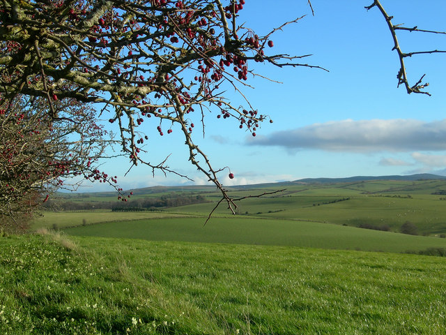
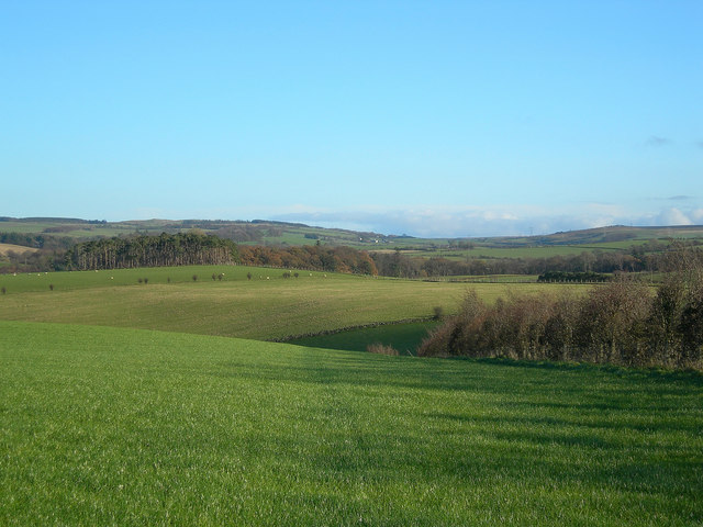
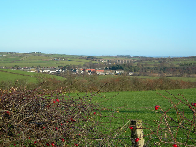
There are several well-maintained walking trails throughout the wood, allowing visitors to explore its beauty at their own pace. The trails range in difficulty, catering to both casual strollers and more experienced hikers. Along the way, hikers can enjoy breathtaking views of the surrounding landscape, including rolling hills and the nearby Black Mount Hill.
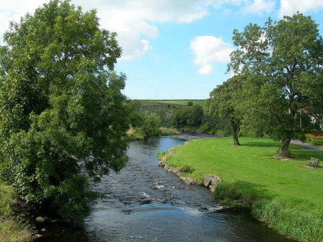
The wood is also home to a small river, which adds to its charm. The tranquil sound of flowing water enhances the peaceful atmosphere of the woodland, making it an ideal place for relaxation and meditation.
Black Mount Wood is easily accessible, with a car park and visitor facilities available nearby. Whether for a leisurely walk, a family picnic, or simply to connect with nature, this enchanting woodland offers a serene escape from the hustle and bustle of everyday life.
If you have any feedback on the listing, please let us know in the comments section below.
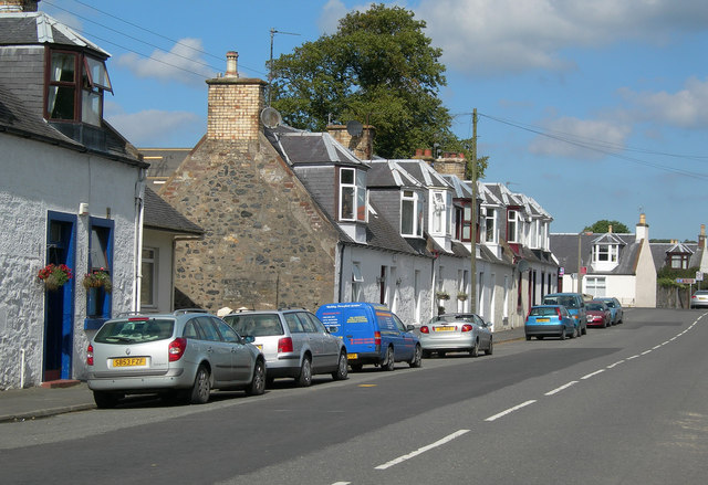
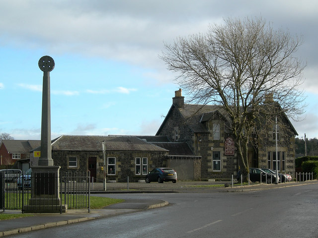
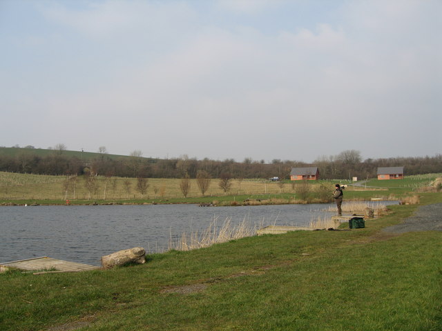
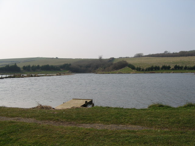
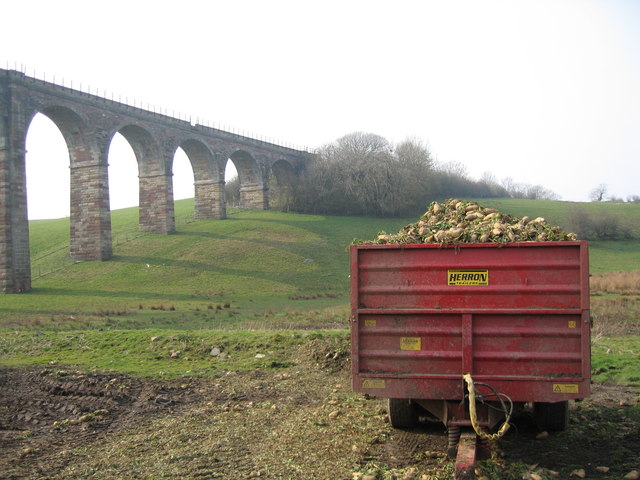
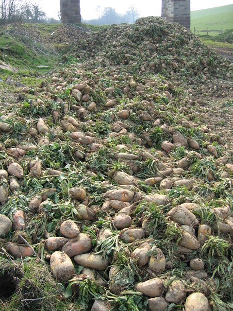
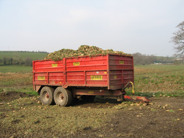
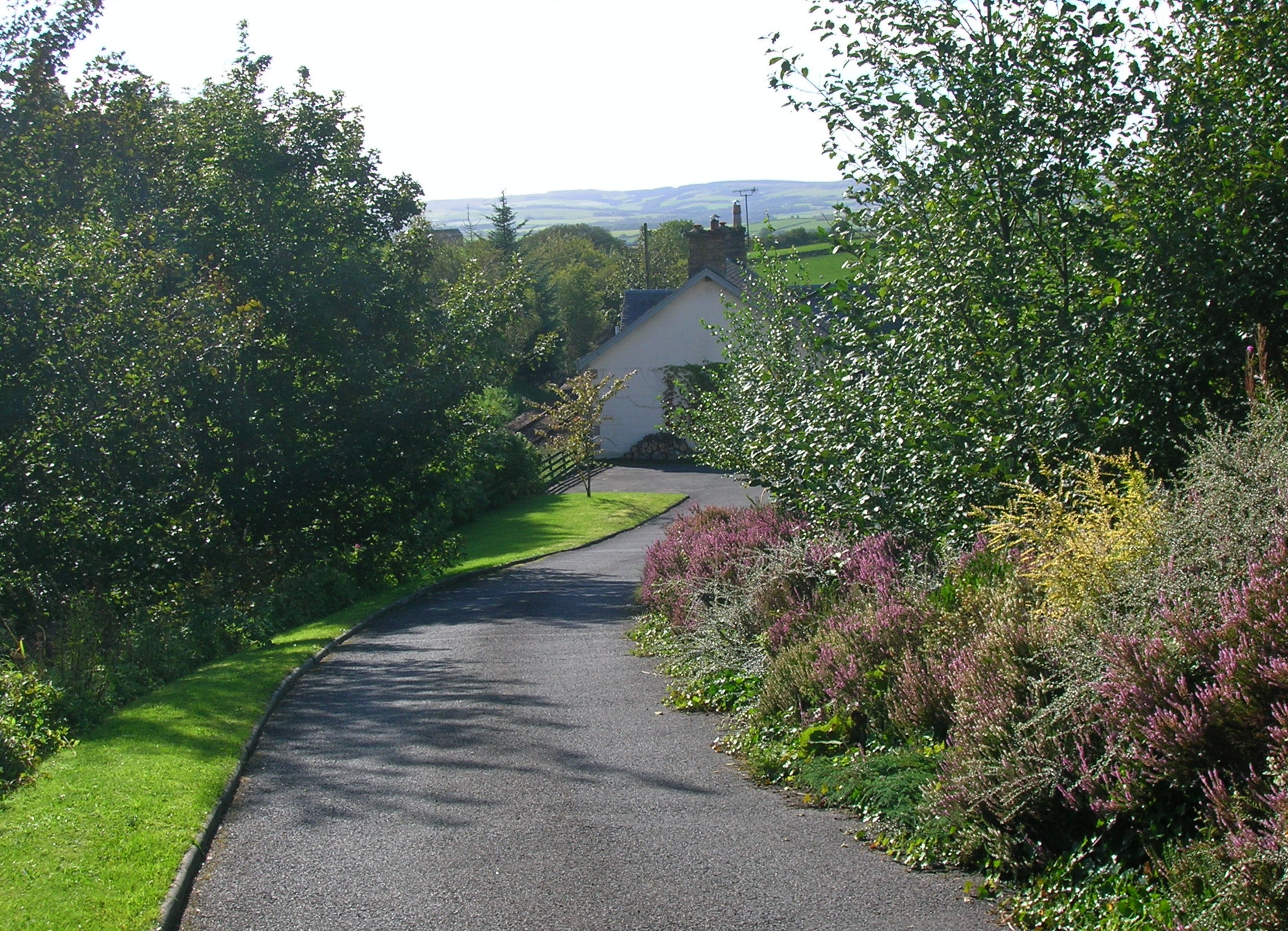
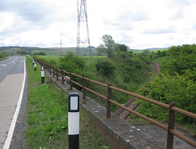
Black Mount Wood Images
Images are sourced within 2km of 55.392517/-4.5660108 or Grid Reference NS3713. Thanks to Geograph Open Source API. All images are credited.
Black Mount Wood is located at Grid Ref: NS3713 (Lat: 55.392517, Lng: -4.5660108)
Unitary Authority: East Ayrshire
Police Authority: Ayrshire
What 3 Words
///layers.dialects.rudder. Near Dalrymple, East Ayrshire
Nearby Locations
Related Wikis

Dalrymple, East Ayrshire
Dalrymple (Scots: Drumple) is a village and parish in East Ayrshire, Scotland, lying in the Doon Valley on the north bank of the River Doon. The population...
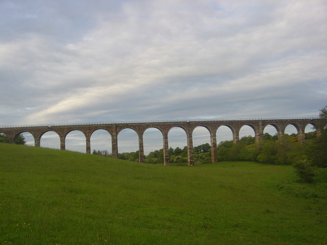
Hollybush railway station
Hollybush railway station was a railway station in East Ayrshire, Scotland that served the nearby Hollybush Hotel and the rural district. The line on which...

Lindston Loch, South Ayrshire
Lindston Loch (NS 37272 16195) was a small freshwater loch situated within a glacial 'kettle hole.' The loch lies in the South Ayrshire Council Area, Parish...
Holehouse Junction railway station
Holehouse Junction railway station was an exchange railway station in East Ayrshire, Scotland. The line on which the station later came to stand was originally...

Dalrymple railway station
Dalrymple railway station was a railway station serving the village of Dalrymple, East Ayrshire, Scotland. The station was originally part of the Ayr and...
Maybole Junction railway station
Maybole Junction railway station was a railway station located between Alloway and Dalrymple in South Ayrshire, Scotland. The station was originally part...
Carcluie Loch
Carcluie Loch (NS 34894 16186) is a small freshwater loch in the South Ayrshire Council Area, lying in a glacial Kettle Hole, Parish of Dalrymple, Scotland...

Snipe Loch
Snipe Loch (NS385173) or Loch Snipe is a freshwater loch. It is situated in a low-lying area close to the B742 road next to Clocaird Farm in the Parish...
Nearby Amenities
Located within 500m of 55.392517,-4.5660108Have you been to Black Mount Wood?
Leave your review of Black Mount Wood below (or comments, questions and feedback).