Kilmore Wood

Wood, Forest in Ayrshire

Scotland

Kilmore Wood

Barnshean Loch The southern end of Barnshean Loch, taken from the fishermen's car park.
Barnshean Loch Credit: Mary and Angus Hogg

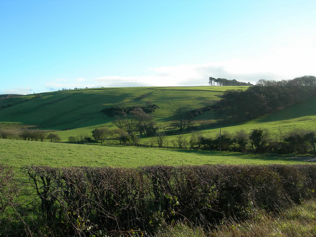
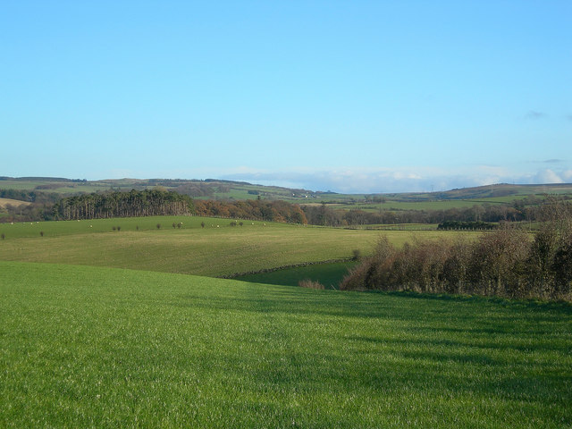
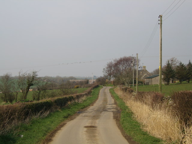
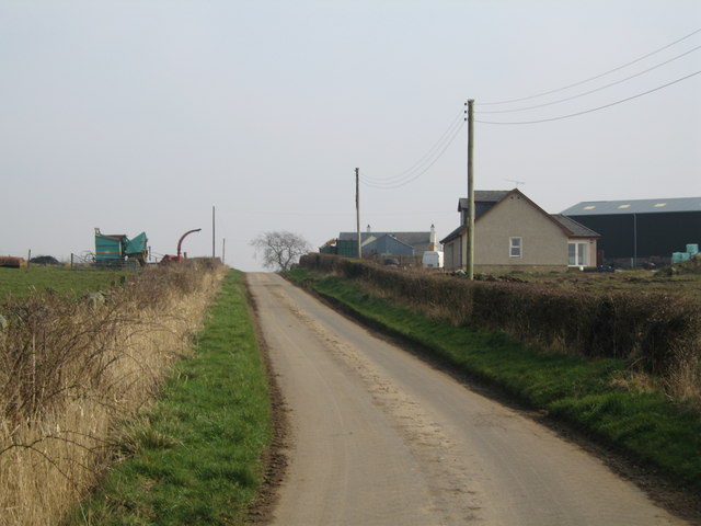
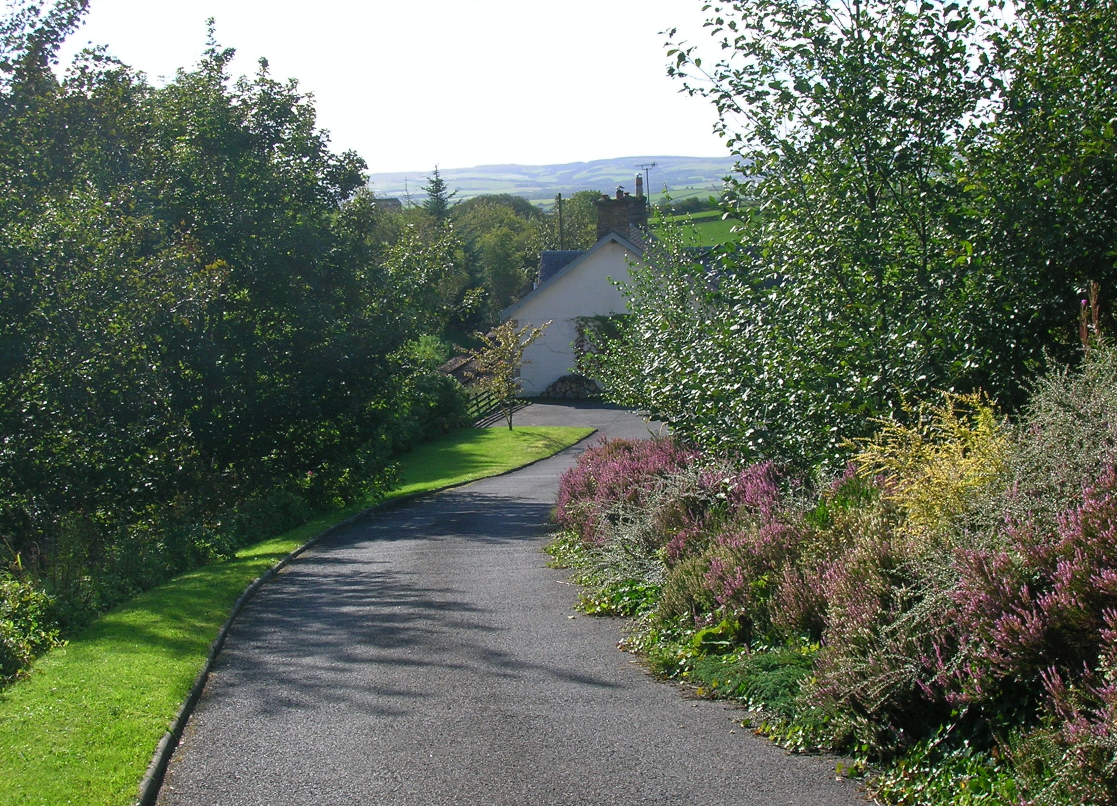
Kilmore Wood is a picturesque woodland located in the region of Ayrshire, Scotland. Covering an area of approximately 200 acres, it is a popular destination for nature enthusiasts and outdoor lovers. The woodland is situated on the outskirts of the small village of Kilmore, offering a peaceful and tranquil environment for visitors to explore.

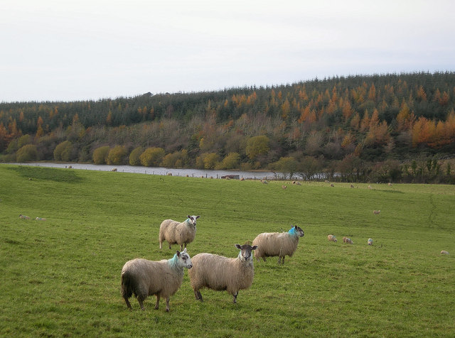
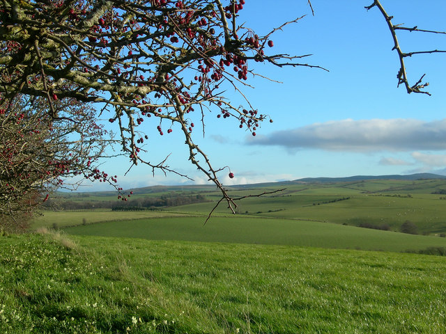
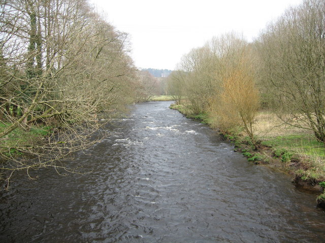
Kilmore Wood is home to a diverse range of flora and fauna, making it an important habitat for wildlife. The wood is predominantly composed of native broadleaf trees, such as oak, birch, and beech, which provide a rich and vibrant canopy throughout the year. The forest floor is adorned with a variety of wildflowers, ferns, and mosses, creating a beautiful and enchanting setting.

Several well-maintained trails wind through the wood, allowing visitors to immerse themselves in the natural beauty of the surroundings. These paths offer opportunities for leisurely walks, jogging, or cycling, making Kilmore Wood a popular spot for both exercise and relaxation.

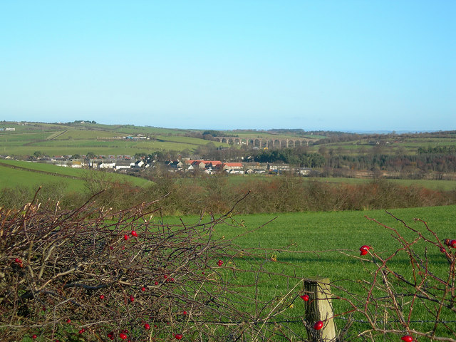
In addition to its natural beauty, Kilmore Wood also holds historical significance. The wood is believed to have been used as a source of timber in the past, contributing to the local economy. Today, it serves as a valuable recreational space for the community and attracts visitors from near and far.

Overall, Kilmore Wood in Ayrshire offers a serene and idyllic setting, providing a tranquil escape from the hustle and bustle of everyday life. With its diverse flora, well-maintained trails, and historical significance, it is a destination that appeals to nature lovers, history enthusiasts, and those seeking a peaceful retreat in the heart of Scotland.

If you have any feedback on the listing, please let us know in the comments section below.
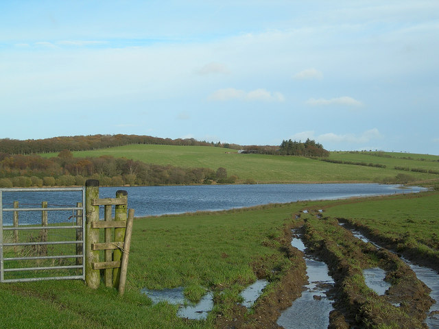
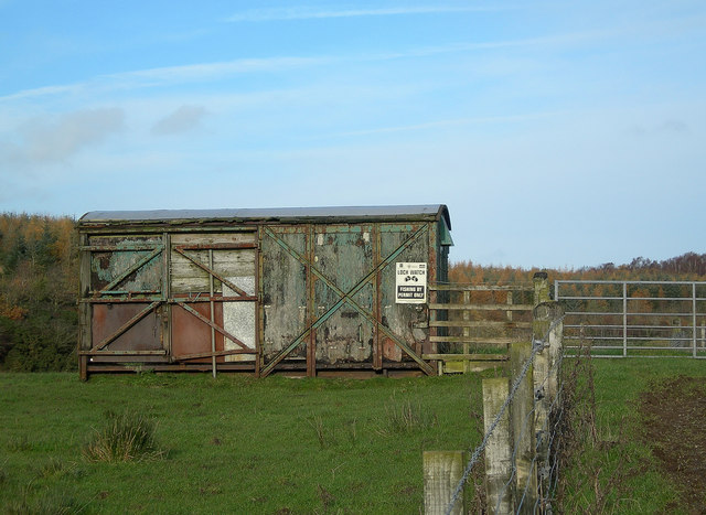
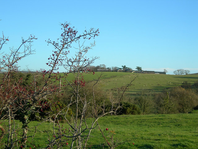
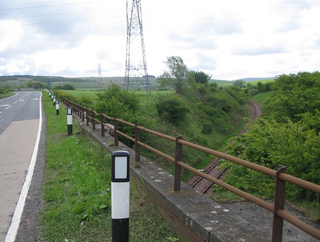
Kilmore Wood Images

Images are sourced within 2km of 55.387159/-4.560895 or Grid Reference NS3713. Thanks to Geograph Open Source API. All images are credited.

Barnshean Loch The southern end of Barnshean Loch, taken from the fishermen's car park.
Barnshean Loch
The southern end of Barnshean Loch, taken from the fishermen's car park.
Barnshean Loch Looking towards the northern end of the loch, with Glastron Farm in the far distance.  Barnshean is a typical kettle lake, formed during the last Ice Age.
Barnshean Loch
Looking towards the northern end of the loch, with Glastron Farm in the far distance. Barnshean is a typical kettle lake, formed during the last Ice Age.
Fishing Hut at Barnshean Loch Yet another use for an old railway wagon.
Fishing Hut at Barnshean Loch
Yet another use for an old railway wagon.
Glastron Farm Looking NNW across typical drumlin country on a cool November day.
Glastron Farm
Looking NNW across typical drumlin country on a cool November day.
Power Lines at Barnshean Looking WSW along the power lines near Barnshean Loch, with Fardenwilliam in the background.
Power Lines at Barnshean
Looking WSW along the power lines near Barnshean Loch, with Fardenwilliam in the background.
Roadside View Looking E towards Patna Hill, with Keirsmill Farm on the left.  The Interconnector, which carries power from Scotland to Northern Ireland, is visible on the skyline.
Roadside View
Looking E towards Patna Hill, with Keirsmill Farm on the left. The Interconnector, which carries power from Scotland to Northern Ireland, is visible on the skyline.
Berries and Flowers The golden flowers of the gorse bush contrast well with the rich red rose hips and haws.  Keirsmill Farm in the background.
Berries and Flowers
The golden flowers of the gorse bush contrast well with the rich red rose hips and haws. Keirsmill Farm in the background.
Sheep near Loch Croot Sheep on a cool November day, with Loch Croot in the background.
Sheep near Loch Croot
Sheep on a cool November day, with Loch Croot in the background.
Montgomerieston Farm Looking east from the minor road on a fine November morning.
Montgomerieston Farm
Looking east from the minor road on a fine November morning.
Guiltree Hill The northern edge of Guiltree Hill on a fine November morning.
Guiltree Hill
The northern edge of Guiltree Hill on a fine November morning.
Field Edge Looking east across South Ayrshire's rich farmlands near Dalrymple on a fine November morning.
Field Edge
Looking east across South Ayrshire's rich farmlands near Dalrymple on a fine November morning.
Rolling Farmland Rich farmland near Dalrymple.  The rolling countryside is shaped by drumlins, deposited during the last Ice Age.
Rolling Farmland
Rich farmland near Dalrymple. The rolling countryside is shaped by drumlins, deposited during the last Ice Age.
Dalrymple and the Viaduct Looking NE towards the village, with the viaduct in the background.
Dalrymple and the Viaduct
Looking NE towards the village, with the viaduct in the background.
Birds on a wire Railway viaduct can be spotted through the trees.
Birds on a wire
Railway viaduct can be spotted through the trees.
Country Road
Country Road
Bridge over The Doon
River Doon
River Doon
Walker
Walker
Show me another place!

Kilmore Wood is located at Grid Ref: NS3713 (Lat: 55.387159, Lng: -4.560895)

Unitary Authority: South Ayrshire

Police Authority: Ayrshire

What 3 Words

///expiring.ombudsman.arch. Near Dalrymple, East Ayrshire

Related Wikis

Dalrymple, East Ayrshire

Dalrymple (Scots: Drumple) is a village and parish in East Ayrshire, Scotland, lying in the Doon Valley on the north bank of the River Doon. The population...

Hollybush railway station

Hollybush railway station was a railway station in East Ayrshire, Scotland that served the nearby Hollybush Hotel and the rural district. The line on which...

Holehouse Junction railway station

Holehouse Junction railway station was an exchange railway station in East Ayrshire, Scotland. The line on which the station later came to stand was originally...

Lindston Loch, South Ayrshire

Lindston Loch (NS 37272 16195) was a small freshwater loch situated within a glacial 'kettle hole.' The loch lies in the South Ayrshire Council Area, Parish...

Nearby Amenities

Located within 500m of 55.387159,-4.560895
Power: pole
Lat/Long: 55.3915171/-4.5624213
Power: pole
Lat/Long: 55.391351/-4.5617762
Power: pole
Lat/Long: 55.3911612/-4.5610846
Power: pole
Lat/Long: 55.3908871/-4.5600566
Power: pole
Lat/Long: 55.3908488/-4.5572116
The data included in this document is from www.openstreetmap.org. The data is made available under ODbL.

Have you been to Kilmore Wood?

Leave your review of Kilmore Wood below (or comments, questions and feedback).