Harriefountain Plantation
Wood, Forest in Wigtownshire
Scotland
Harriefountain Plantation
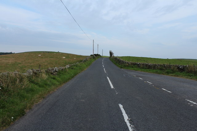
Harriefountain Plantation, situated in Wigtownshire, is a remarkable woodland area renowned for its scenic beauty and rich biodiversity. Spanning over a significant expanse, this woodland is a haven for nature enthusiasts and a vital ecological hotspot in the region.
The plantation is characterized by a diverse range of trees, including oak, birch, beech, and pine, which contribute to its vibrant and verdant ambiance. The varied tree species create a unique ecosystem that supports a plethora of flora and fauna. The forest floor is adorned with an array of wildflowers, ferns, and mosses, adding to the enchanting atmosphere.
Harriefountain Plantation offers an exceptional habitat for various wildlife species. The woodland is home to a wide range of bird species, including woodpeckers, owls, and thrushes, making it a popular spot for birdwatchers. Deer, foxes, and squirrels are also frequently spotted in the area, further enhancing the natural appeal of the plantation.
The plantation provides an excellent opportunity for recreational activities such as hiking, walking, and picnicking. There are well-maintained trails that wind through the woodland, offering visitors a chance to explore its beauty at their own pace. The serene atmosphere and peaceful surroundings make it an ideal destination for those seeking solace and tranquility amidst nature.
Harriefountain Plantation, with its picturesque landscapes, diverse flora and fauna, and recreational opportunities, undoubtedly holds a special place in the hearts of both locals and tourists. It serves as a testament to the importance of preserving and appreciating the natural wonders that Wigtownshire has to offer.
If you have any feedback on the listing, please let us know in the comments section below.
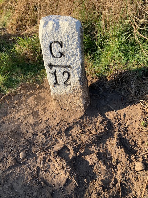
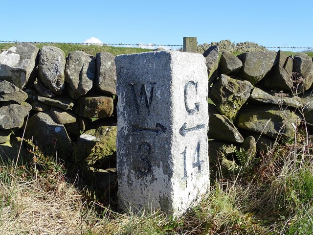
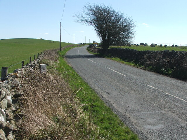
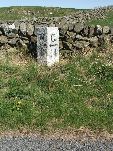
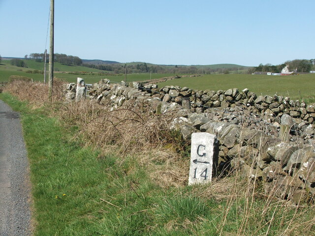
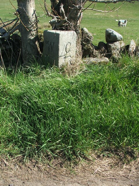
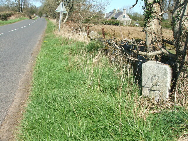
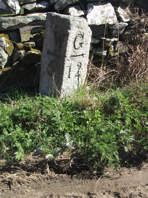
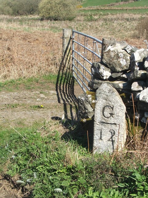
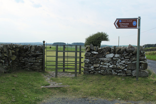
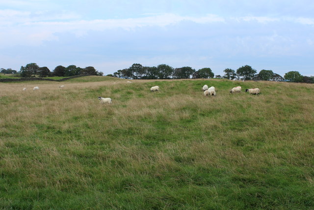
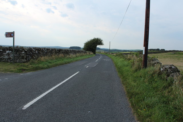
Harriefountain Plantation Images
Images are sourced within 2km of 54.886229/-4.5350369 or Grid Reference NX3757. Thanks to Geograph Open Source API. All images are credited.
Harriefountain Plantation is located at Grid Ref: NX3757 (Lat: 54.886229, Lng: -4.5350369)
Unitary Authority: Dumfries and Galloway
Police Authority: Dumfries and Galloway
What 3 Words
///widely.smaller.snaps. Near Newton Stewart, Dumfries & Galloway
Nearby Locations
Related Wikis

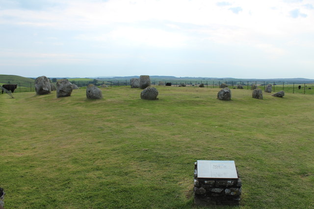
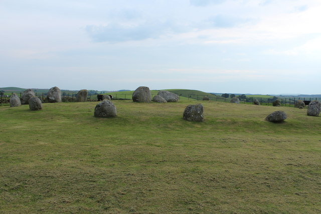
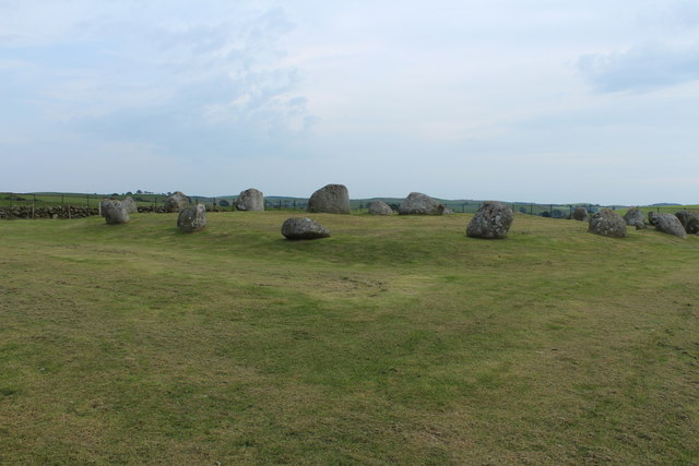
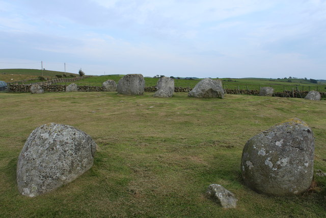
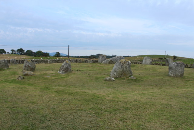
Torhouse
The Standing Stones of Torhouse (also Torhousekie) are a stone circle of nineteen granite boulders on the land of Torhouse, three miles west of Wigtown...

Causeway End railway station
Causeway End (NX 42047 59602) or Causwayend was a railway station on the Wigtownshire Railway branch line, from Newton Stewart to Whithorn, of the Portpatrick...

Mains of Penninghame Platform railway station
Mains of Penninghame Platform railway station (NX410617) was a halt on the Wigtownshire Railway branch line, from Newton Stewart to Whithorn, of the Portpatrick...

Bladnoch Distillery and Visitor Centre
Bladnoch distillery is a single malt Scotch whisky distillery in south west Scotland. It is one of six remaining Lowland distilleries, located at Bladnoch...
Nearby Amenities
Located within 500m of 54.886229,-4.5350369Have you been to Harriefountain Plantation?
Leave your review of Harriefountain Plantation below (or comments, questions and feedback).