Drumbeg Wood
Wood, Forest in Wigtownshire
Scotland
Drumbeg Wood
Drumbeg Wood is a picturesque woodland located in Wigtownshire, a historic county in the southwest of Scotland. This enchanting forest covers an area of approximately 70 acres and is nestled in the heart of the Galloway Forest Park, which is renowned for its natural beauty and diverse wildlife.
The woodland consists primarily of native broadleaf trees, including oak, birch, and beech, which create a stunning canopy of green during the summer months and a captivating display of autumnal colors in the fall. The forest floor is adorned with a carpet of ferns, wildflowers, and mosses, adding to its enchanting atmosphere.
Drumbeg Wood offers a network of well-maintained walking trails, allowing visitors to explore its serene surroundings at their leisure. The paths meander through the forest, providing glimpses of the tranquil Drumbeg Loch and offering opportunities for wildlife spotting, including red squirrels, roe deer, and a variety of bird species.
In addition to its natural beauty, Drumbeg Wood holds historical significance. The remains of an Iron Age fort, known as the Druim Bheag Fort, can be found within the woodland. This ancient structure adds an intriguing element to the area, connecting visitors with the rich history of the region.
Drumbeg Wood is a haven for nature enthusiasts, photographers, and those seeking solace in the great outdoors. With its captivating scenery, diverse flora and fauna, and historical intrigue, this woodland is a true gem of Wigtownshire.
If you have any feedback on the listing, please let us know in the comments section below.
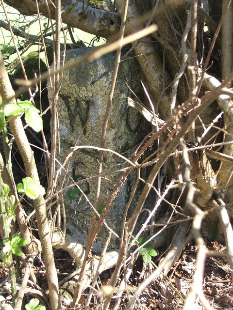
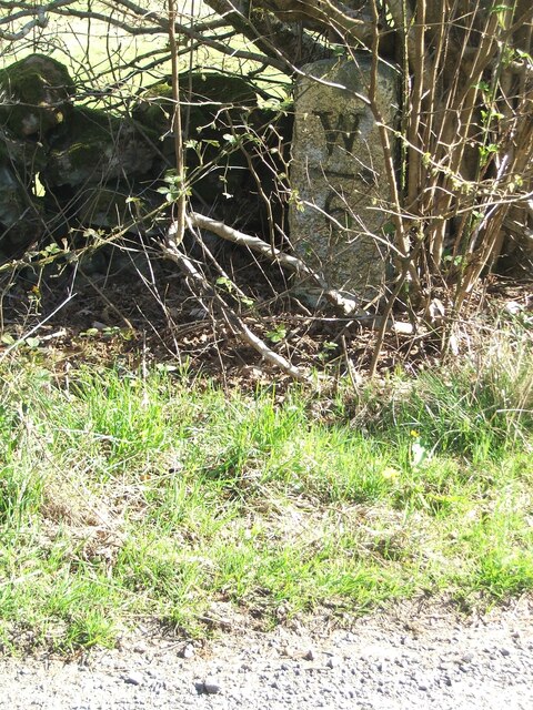
Drumbeg Wood Images
Images are sourced within 2km of 54.902698/-4.593729 or Grid Reference NX3359. Thanks to Geograph Open Source API. All images are credited.


Drumbeg Wood is located at Grid Ref: NX3359 (Lat: 54.902698, Lng: -4.593729)
Unitary Authority: Dumfries and Galloway
Police Authority: Dumfries and Galloway
What 3 Words
///chemistry.tooth.dote. Near Newton Stewart, Dumfries & Galloway
Nearby Locations
Related Wikis

Kirkcowan
Kirkcowan is an area about 15 miles in length, and from nearly two to nearly seven miles in breadth, comprising 30,580 acres, of which 7000 are arable...

Kirkcowan railway station
Kirkcowan railway station served the village of Kirkcowan, Dumfries and Galloway, Scotland from 1861 to 1965 on the Portpatrick and Wigtownshire Joint...

Torhouse
The Standing Stones of Torhouse (also Torhousekie) are a stone circle of nineteen granite boulders on the land of Torhouse, three miles west of Wigtown...

Mains of Penninghame Platform railway station
Mains of Penninghame Platform railway station (NX410617) was a halt on the Wigtownshire Railway branch line, from Newton Stewart to Whithorn, of the Portpatrick...

Mochrum Loch
Mochrum Loch is a large, irregular shaped, shallow, freshwater loch in Dumfries and Galloway, in the Southern Uplands of south-west Scotland. It lies approximately...

Castle Loch, Dumfries and Galloway
Castle Loch is a large, shallow, freshwater loch in Dumfries and Galloway, in the Southern Uplands of south-west Scotland. It lies to the west of Mochrum...
Castle Loch
Castle Loch is a shallow eutrophic loch covering an area of around 100 hectares in the town of Lochmaben in Dumfries and Galloway, Scotland. It lies to...

Barhapple Loch
Barhapple Loch is a small semicircular freshwater loch located in Wigtownshire, Dumfries and Galloway in Scotland. Barhapple Loch is principally known...
Nearby Amenities
Located within 500m of 54.902698,-4.593729Have you been to Drumbeg Wood?
Leave your review of Drumbeg Wood below (or comments, questions and feedback).