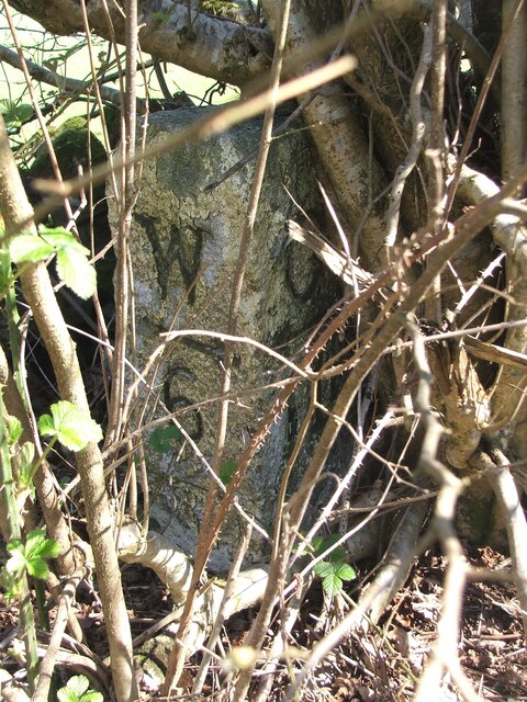
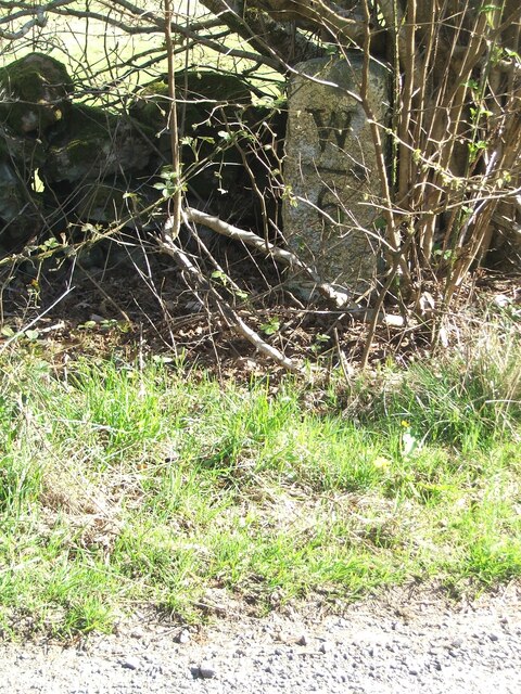
Lady Hill
Hill, Mountain in Wigtownshire
Scotland
Lady Hill

Lady Hill is a prominent hill located in Wigtownshire, a historical county in southwestern Scotland. It stands at an elevation of approximately 217 meters (712 feet) above sea level, making it a notable landmark in the region. The hill is situated near the town of Wigtown, which lies within the Dumfries and Galloway council area.
Lady Hill offers breathtaking panoramic views of the surrounding countryside, including the picturesque estuary of the River Bladnoch and the Galloway Hills in the distance. Its strategic location and elevated position make it an ideal vantage point to appreciate the natural beauty of the area.
The hill is named after the Lady of Galloway, a prominent figure in Scottish history. According to local legends, the Lady of Galloway was a powerful medieval noblewoman who resided in the region and played a significant role in shaping its history.
Today, Lady Hill is a popular destination for outdoor enthusiasts and nature lovers. Visitors can enjoy various recreational activities such as hiking, walking, and photography. The hill is easily accessible via well-marked trails, allowing individuals of all fitness levels to appreciate its charm.
In addition to its natural beauty, Lady Hill also holds cultural significance within the community. It has been the site of various events and festivals, including music concerts and community gatherings. The hill serves as a symbol of local pride and heritage, attracting both locals and tourists alike.
If you have any feedback on the listing, please let us know in the comments section below.
Lady Hill Images
Images are sourced within 2km of 54.903414/-4.5968639 or Grid Reference NX3359. Thanks to Geograph Open Source API. All images are credited.
Lady Hill is located at Grid Ref: NX3359 (Lat: 54.903414, Lng: -4.5968639)
Unitary Authority: Dumfries and Galloway
Police Authority: Dumfries and Galloway
What 3 Words
///driftwood.trailers.builds. Near Newton Stewart, Dumfries & Galloway
Nearby Locations
Related Wikis
Kirkcowan
Kirkcowan is an area about 15 miles in length, and from nearly two to nearly seven miles in breadth, comprising 30,580 acres, of which 7000 are arable...
Kirkcowan railway station
Kirkcowan railway station served the village of Kirkcowan, Dumfries and Galloway, Scotland from 1861 to 1965 on the Portpatrick and Wigtownshire Joint...
Torhouse
The Standing Stones of Torhouse (also Torhousekie) are a stone circle of nineteen granite boulders on the land of Torhouse, three miles west of Wigtown...
Mochrum Loch
Mochrum Loch is a large, irregular shaped, shallow, freshwater loch in Dumfries and Galloway, in the Southern Uplands of south-west Scotland. It lies approximately...
Barhapple Loch
Barhapple Loch is a small semicircular freshwater loch located in Wigtownshire, Dumfries and Galloway in Scotland. Barhapple Loch is principally known...
Castle Loch, Dumfries and Galloway
Castle Loch is a large, shallow, freshwater loch in Dumfries and Galloway, in the Southern Uplands of south-west Scotland. It lies to the west of Mochrum...
Castle Loch
Castle Loch is a shallow eutrophic loch covering an area of around 100 hectares in the town of Lochmaben in Dumfries and Galloway, Scotland. It lies to...
Mains of Penninghame Platform railway station
Mains of Penninghame Platform railway station (NX410617) was a halt on the Wigtownshire Railway branch line, from Newton Stewart to Whithorn, of the Portpatrick...
Nearby Amenities
Located within 500m of 54.903414,-4.5968639Have you been to Lady Hill?
Leave your review of Lady Hill below (or comments, questions and feedback).


