Drummore Hill
Hill, Mountain in Wigtownshire
Scotland
Drummore Hill
Drummore Hill is a prominent hill located in Wigtownshire, in the region of Dumfries and Galloway, southwestern Scotland. Standing at an elevation of 162 meters (531 feet), it is a popular destination for locals and tourists alike.
This hill is situated in the village of Drummore, which is the southernmost point of mainland Scotland. It offers breathtaking panoramic views of the surrounding area, including the picturesque coastline and the Irish Sea. On clear days, visitors can even catch a glimpse of the Isle of Man and the distant Mourne Mountains in Northern Ireland.
Drummore Hill is easily accessible, with a well-marked footpath leading to its summit. The walk is relatively easy, making it suitable for people of all ages and abilities. Along the way, walkers can enjoy the diverse flora and fauna of the area, including heather, gorse, and various bird species.
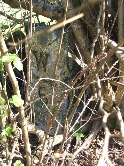
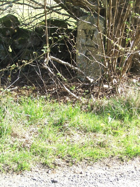
At the top of Drummore Hill, there is a trig point that marks the peak, allowing visitors to identify their location accurately. This spot is an ideal spot for taking photographs or simply enjoying the peaceful and serene surroundings.
The hill plays an essential role in the local community, as it hosts various events throughout the year, including hill races and charity walks. It also serves as a recreational space for outdoor enthusiasts who enjoy hiking, birdwatching, and nature photography.
In conclusion, Drummore Hill is a beautiful and easily accessible hill in Wigtownshire, Scotland. Its stunning views, diverse flora and fauna, and community involvement make it a must-visit destination for nature lovers and outdoor enthusiasts.
If you have any feedback on the listing, please let us know in the comments section below.
Drummore Hill Images
Images are sourced within 2km of 54.901303/-4.5988495 or Grid Reference NX3359. Thanks to Geograph Open Source API. All images are credited.


Drummore Hill is located at Grid Ref: NX3359 (Lat: 54.901303, Lng: -4.5988495)
Unitary Authority: Dumfries and Galloway
Police Authority: Dumfries and Galloway
What 3 Words
///wharfs.ejects.saddens. Near Newton Stewart, Dumfries & Galloway
Nearby Locations
Related Wikis

Kirkcowan
Kirkcowan is an area about 15 miles in length, and from nearly two to nearly seven miles in breadth, comprising 30,580 acres, of which 7000 are arable...

Kirkcowan railway station
Kirkcowan railway station served the village of Kirkcowan, Dumfries and Galloway, Scotland from 1861 to 1965 on the Portpatrick and Wigtownshire Joint...

Torhouse
The Standing Stones of Torhouse (also Torhousekie) are a stone circle of nineteen granite boulders on the land of Torhouse, three miles west of Wigtown...

Mochrum Loch
Mochrum Loch is a large, irregular shaped, shallow, freshwater loch in Dumfries and Galloway, in the Southern Uplands of south-west Scotland. It lies approximately...

Castle Loch, Dumfries and Galloway
Castle Loch is a large, shallow, freshwater loch in Dumfries and Galloway, in the Southern Uplands of south-west Scotland. It lies to the west of Mochrum...
Castle Loch
Castle Loch is a shallow eutrophic loch covering an area of around 100 hectares in the town of Lochmaben in Dumfries and Galloway, Scotland. It lies to...

Barhapple Loch
Barhapple Loch is a small semicircular freshwater loch located in Wigtownshire, Dumfries and Galloway in Scotland. Barhapple Loch is principally known...

Mains of Penninghame Platform railway station
Mains of Penninghame Platform railway station (NX410617) was a halt on the Wigtownshire Railway branch line, from Newton Stewart to Whithorn, of the Portpatrick...
Nearby Amenities
Located within 500m of 54.901303,-4.5988495Have you been to Drummore Hill?
Leave your review of Drummore Hill below (or comments, questions and feedback).