Drumwalt Plantation
Wood, Forest in Wigtownshire
Scotland
Drumwalt Plantation
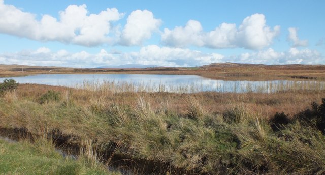
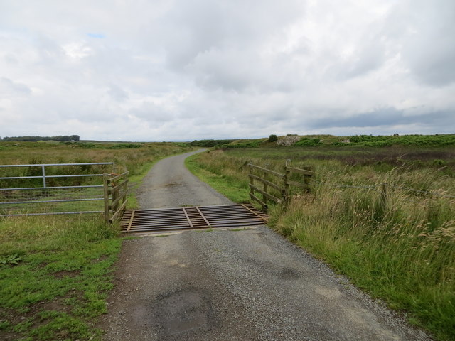
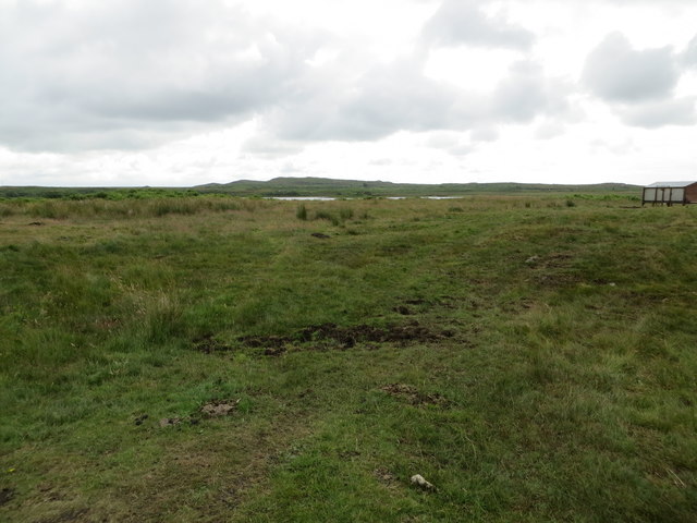
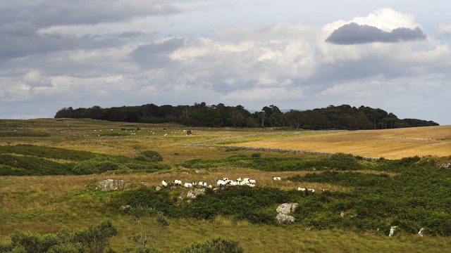
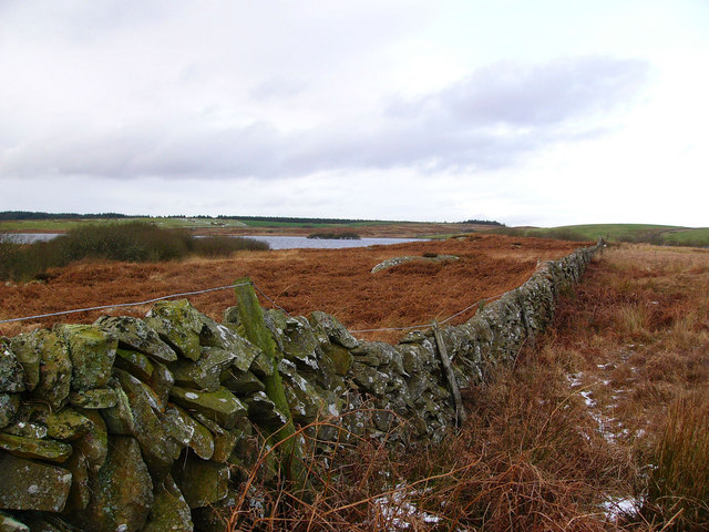
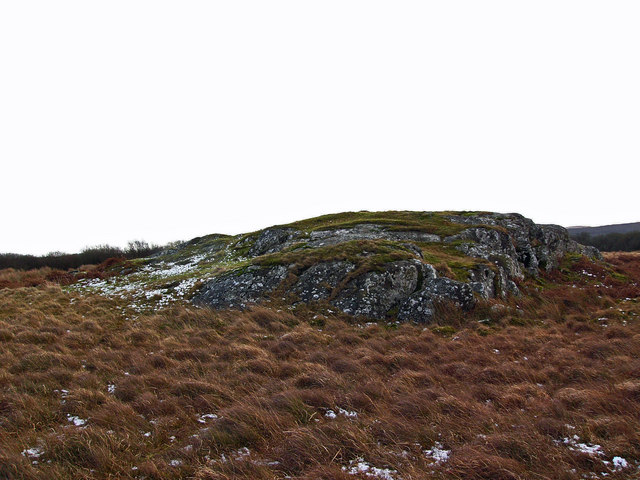
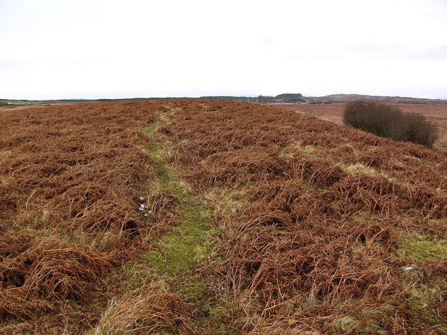
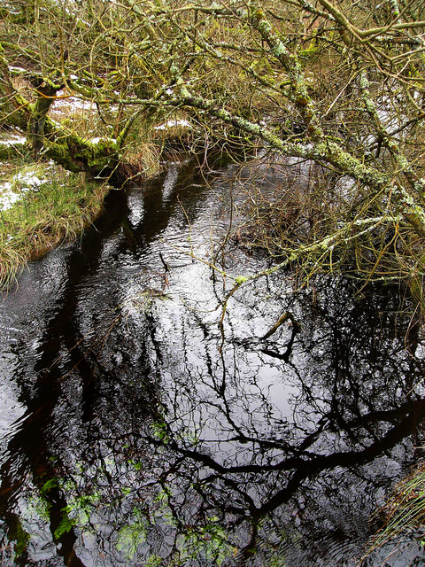
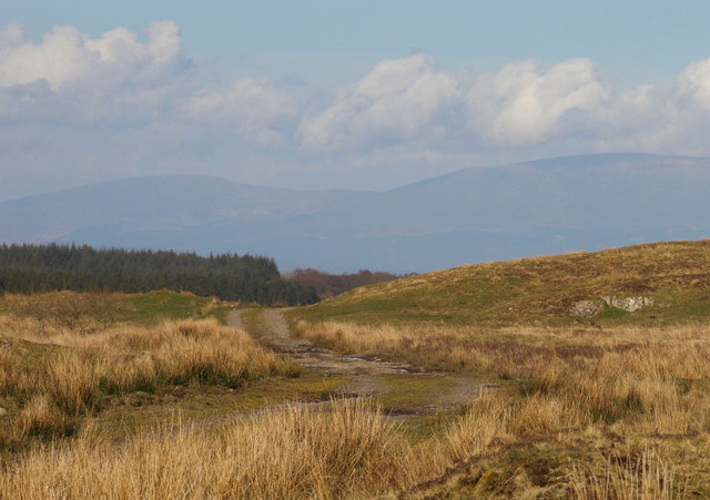
Drumwalt Plantation, located in Wigtownshire, Scotland, is a picturesque woodland area renowned for its natural beauty and rich history. Covering an area of approximately 2,000 acres, it is a haven for nature lovers, outdoor enthusiasts, and history buffs alike.
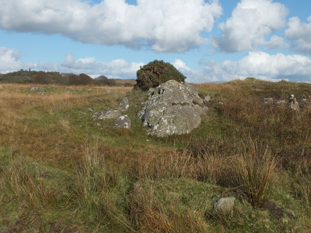
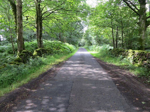
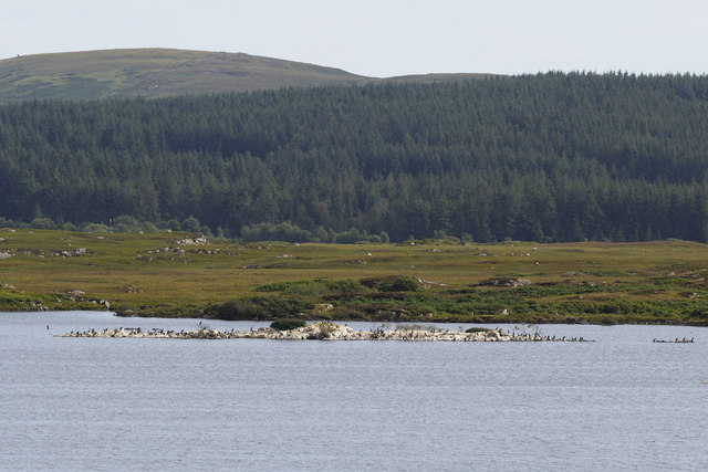
The plantation is predominantly composed of a diverse range of trees, including oak, beech, and pine, creating a dense and lush forest environment. Its dense foliage provides a habitat for various wildlife species, such as red squirrels, roe deer, and a wide array of bird species. The plantation's tranquil atmosphere and scenic beauty make it a popular spot for walking, hiking, and birdwatching.
Steeped in history, Drumwalt Plantation has a storied past that dates back centuries. It was originally part of the estate owned by the Murray family, who played a significant role in the region's history. The plantation's historic significance is further enhanced by the presence of several archaeological sites, including ancient burial mounds and stone circles, which offer glimpses into the area's ancient past.
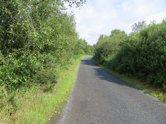
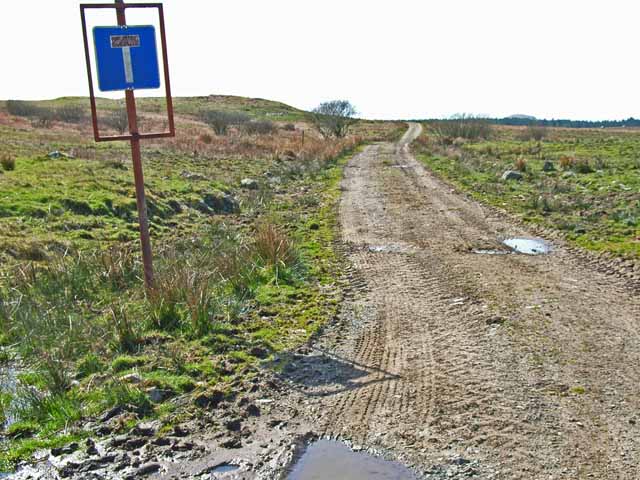
Drumwalt Plantation is open to the public, with designated paths and trails allowing visitors to explore the area and discover its natural wonders. The plantation also offers educational programs and guided tours, allowing visitors to learn about the flora, fauna, and history of the region.
In summary, Drumwalt Plantation in Wigtownshire is a captivating woodland area that combines natural beauty with a fascinating history. Its diverse ecosystem and historical sites make it a must-visit destination for those seeking to immerse themselves in Scotland's natural and cultural heritage.
If you have any feedback on the listing, please let us know in the comments section below.
Drumwalt Plantation Images
Images are sourced within 2km of 54.850469/-4.6412741 or Grid Reference NX3053. Thanks to Geograph Open Source API. All images are credited.
Drumwalt Plantation is located at Grid Ref: NX3053 (Lat: 54.850469, Lng: -4.6412741)
Unitary Authority: Dumfries and Galloway
Police Authority: Dumfries and Galloway
What 3 Words
///cosmic.polar.monorail. Near Newton Stewart, Dumfries & Galloway
Nearby Locations
Related Wikis

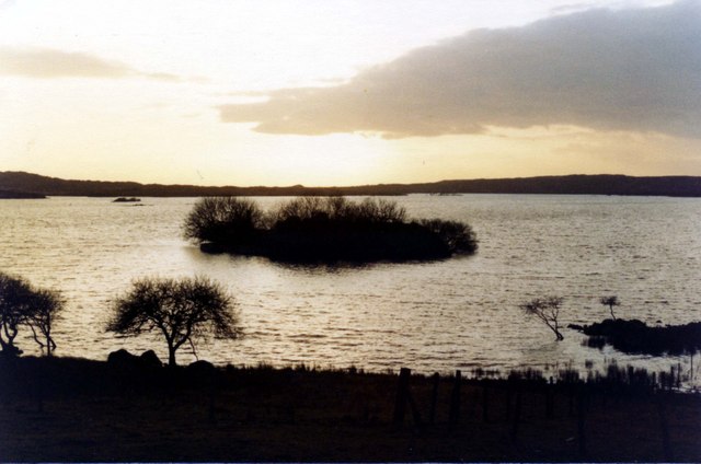
Mochrum Loch
Mochrum Loch is a large, irregular shaped, shallow, freshwater loch in Dumfries and Galloway, in the Southern Uplands of south-west Scotland. It lies approximately...

Castle Loch, Dumfries and Galloway
Castle Loch is a large, shallow, freshwater loch in Dumfries and Galloway, in the Southern Uplands of south-west Scotland. It lies to the west of Mochrum...
Castle Loch
Castle Loch is a shallow eutrophic loch covering an area of around 100 hectares in the town of Lochmaben in Dumfries and Galloway, Scotland. It lies to...

Doon of May
The Doon of May is a conifer plantation associated with an Iron Age hill fort in Dumfries and Galloway, south-west Scotland. Located around 14 kilometres...
Nearby Amenities
Located within 500m of 54.850469,-4.6412741Have you been to Drumwalt Plantation?
Leave your review of Drumwalt Plantation below (or comments, questions and feedback).