Park Hill

Hill, Mountain in Wigtownshire

Scotland

Park Hill

Loch Hempton One of many lochs and lochans on the Machar
Loch Hempton Credit: Jon Alexander

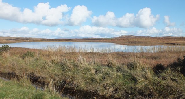
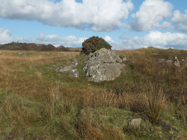
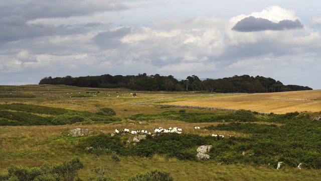
Park Hill is a prominent hill located in the region of Wigtownshire, Scotland. Standing at an elevation of approximately 220 meters, it offers stunning panoramic views of the surrounding countryside. The hill is situated near the village of Auchenmalg, about 5 kilometers southeast of the town of Glenluce.

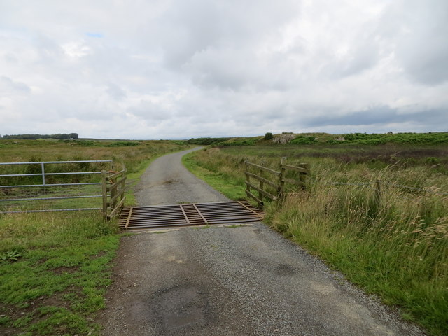
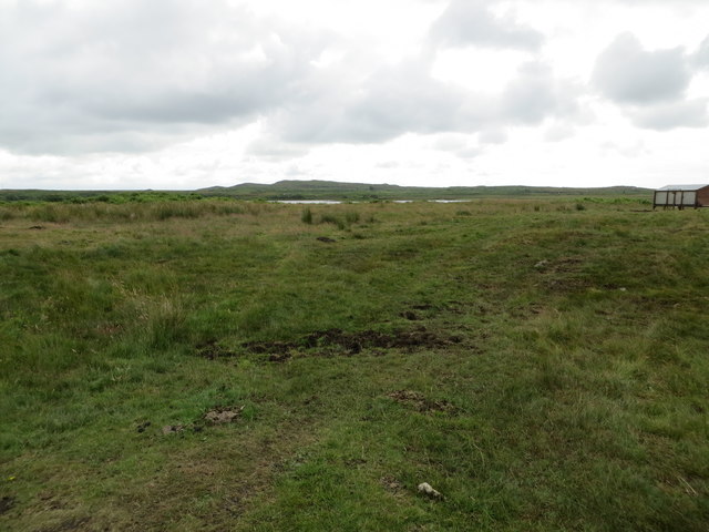
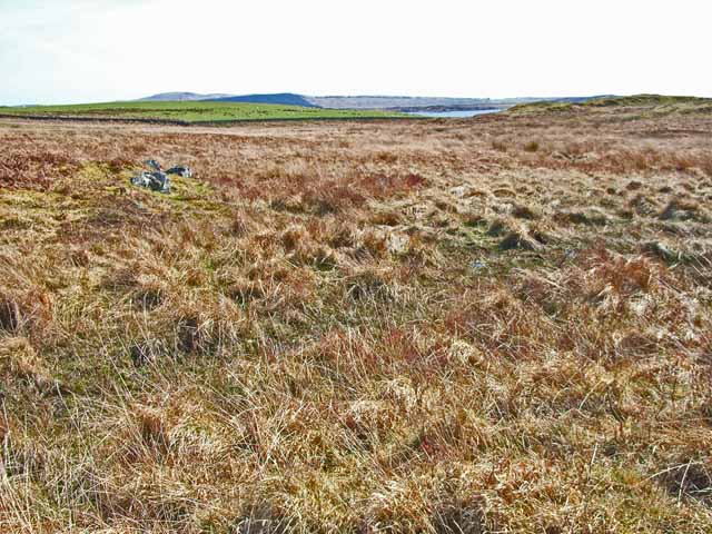
Park Hill is a popular destination for outdoor enthusiasts, hikers, and nature lovers. The hill is covered in lush greenery, with a variety of plant species, including heather, grasses, and wildflowers, adding to its natural beauty. The slopes are relatively gentle, making it accessible to walkers of all abilities.

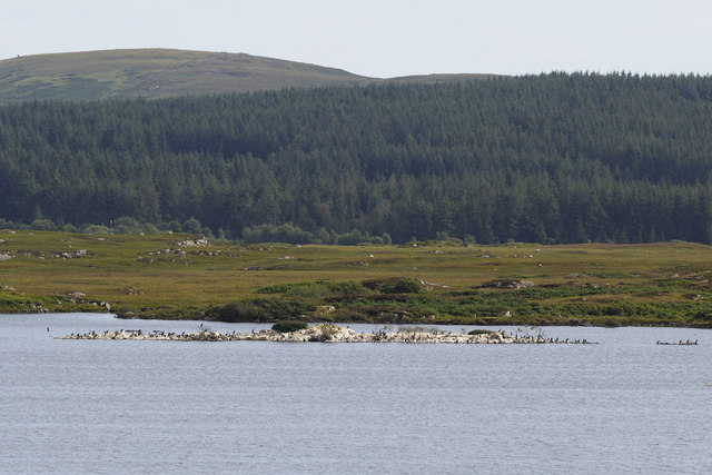
At the top of Park Hill, visitors can enjoy breathtaking vistas of the rolling countryside, the nearby coastline, and the shimmering waters of the Irish Sea. On clear days, it is even possible to see as far as the Isle of Man.

The hill is also home to a diverse range of wildlife. Birdwatchers may spot various species, including buzzards, kestrels, and peregrine falcons, soaring through the sky. Other animals such as rabbits, hares, and even roe deer can sometimes be seen grazing in the surrounding fields.

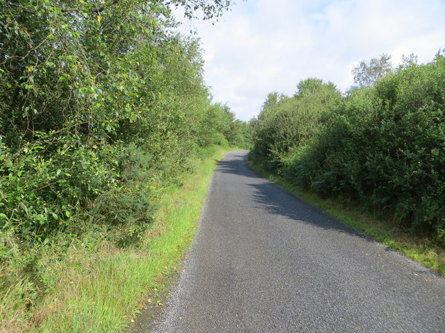
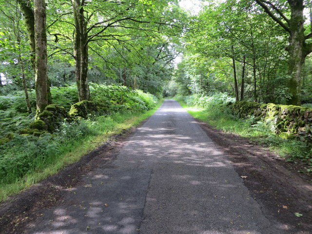
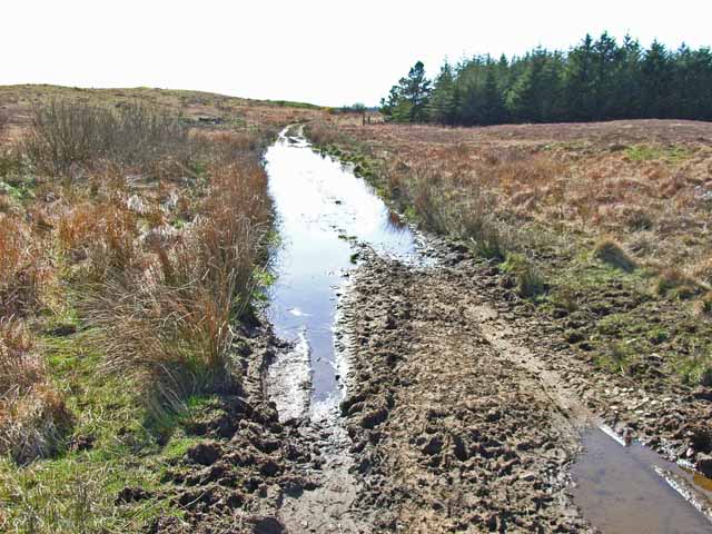
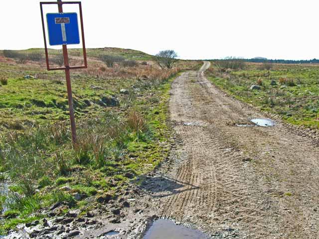
Park Hill is easily accessible by foot, with several well-maintained paths leading to the top. Visitors are advised to wear appropriate footwear and bring along a map or guide as some areas can be steep and uneven. Whether it's for a leisurely stroll or a more challenging hike, Park Hill offers a memorable experience in the heart of Wigtownshire's picturesque landscape.

If you have any feedback on the listing, please let us know in the comments section below.
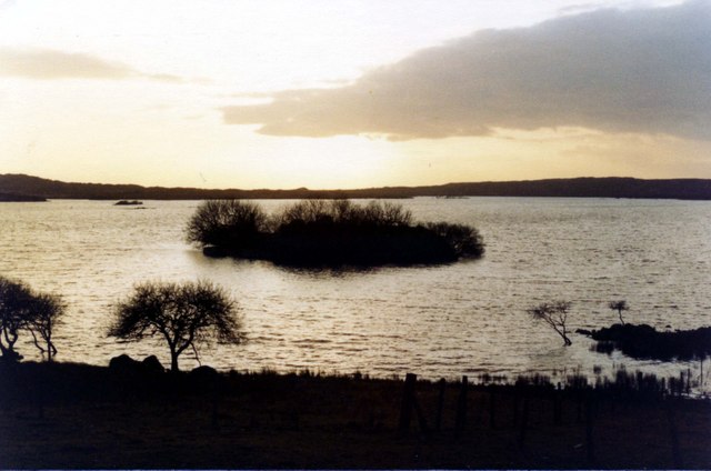
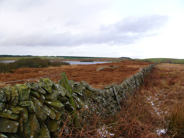
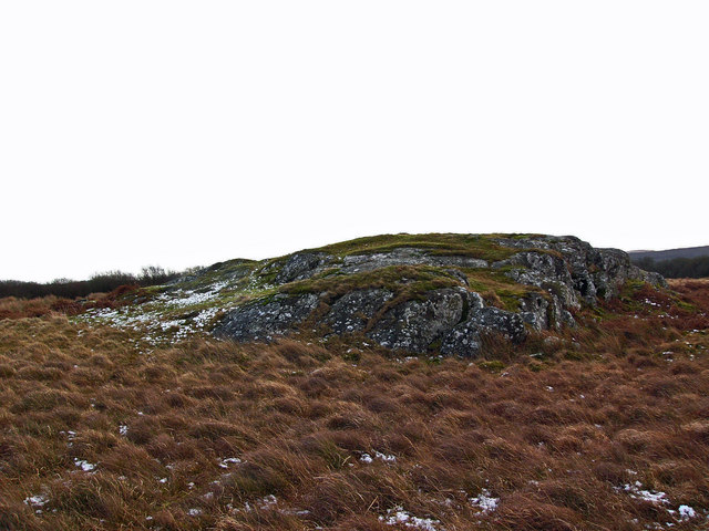
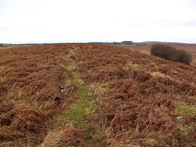
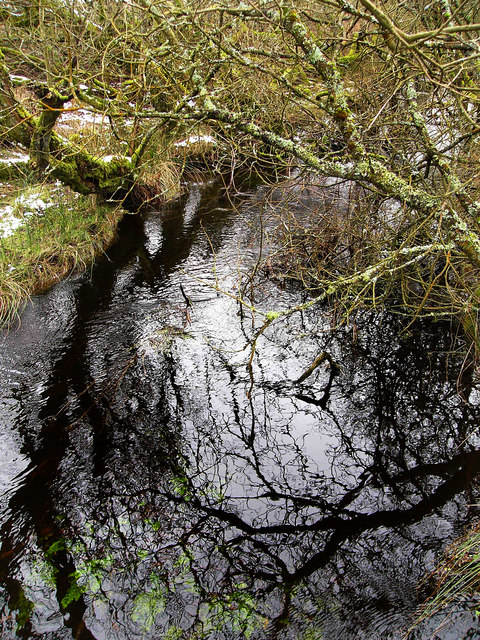
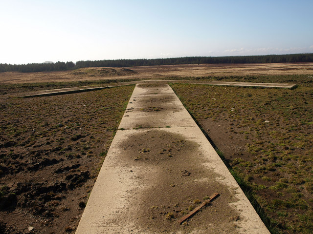
Park Hill Images

Images are sourced within 2km of 54.852003/-4.6410316 or Grid Reference NX3053. Thanks to Geograph Open Source API. All images are credited.

Loch Hempton One of many lochs and lochans on the Machar
Loch Hempton
One of many lochs and lochans on the Machar
Tufted Rock In an otherwise windswept landscape the clump of gorse is managing to hang on to the top of the rock.
Tufted Rock
In an otherwise windswept landscape the clump of gorse is managing to hang on to the top of the rock.
Tree-lined minor road heading in the direction of Mochrum Loch Looking north-westward.
Tree-lined minor road heading in the direction of Mochrum Loch
Looking north-westward.
Minor road beside Mochrum Loch passing through Heathery Ward Wood Looking south-westward.
Minor road beside Mochrum Loch passing through Heathery Ward Wood
Looking south-westward.
Minor road crossing the Moor of Drumwalt Looking north-westward.
Minor road crossing the Moor of Drumwalt
Looking north-westward.
Rough moorland used for cattle and sheep grazing Looking south-eastward towards Fell Loch
Rough moorland used for cattle and sheep grazing
Looking south-eastward towards Fell Loch
Cormorant nesting colony, Castle Loch Castle Loch and neighbouring Mochrum Loch between them have the largest freshwater breeding colony of cormorants in Scotland, known to have existed since at least 1663. This year there appear to be increased numbers of birds nesting in these colonies and there are several rocky islets occupied in each of the two lochs, of which this is the biggest.  The occupied islands are almost completely bare of vegetation.
Cormorant nesting colony, Castle Loch
Castle Loch and neighbouring Mochrum Loch between them have the largest freshwater breeding colony of cormorants in Scotland, known to have existed since at least 1663. This year there appear to be increased numbers of birds nesting in these colonies and there are several rocky islets occupied in each of the two lochs, of which this is the biggest. The occupied islands are almost completely bare of vegetation.
Castle Island Excavations on the island last century showed the ruins to be of a mediaeval manor house. There is speculation that prior to that it may have been a religious site. The island is completely encircled by a substantial stone wall, which can be clearly seen in the picture, and a submerged causeway connects it to the mainland.
Castle Island
Excavations on the island last century showed the ruins to be of a mediaeval manor house. There is speculation that prior to that it may have been a religious site. The island is completely encircled by a substantial stone wall, which can be clearly seen in the picture, and a submerged causeway connects it to the mainland.
Challochglass Plantation A shelterbelt planted originally to protect the farm of Challochglass from the worst of the wind.
Challochglass Plantation
A shelterbelt planted originally to protect the farm of Challochglass from the worst of the wind.
A slight improvement The road which left the tarmac at <a href="https://www.geograph.org.uk/gridref/NX2654">NX2654</a> and deteriorated so badly through the forest begins to improve - slightly!
A slight improvement
The road which left the tarmac at NX2654 and deteriorated so badly through the forest begins to improve - slightly!
A decent surface again! The road which left the tarmac at <a href="https://www.geograph.org.uk/gridref/NX2654">NX2654</a> and deteriorated so badly through the forest, at last becomes a decent track again. The tarmac starts again just this side of the camera.
A decent surface again!
The road which left the tarmac at NX2654 and deteriorated so badly through the forest, at last becomes a decent track again. The tarmac starts again just this side of the camera.
Challochglass Moor Castle Loch can be glimpsed in the distance
Challochglass Moor
Castle Loch can be glimpsed in the distance
Castle Island, Castle Loch The ruins on the island were excavated early last century and it was shown to be the remains of a fortified mediaeval manor house. A submerged causeway connects the island to the mainland.
Castle Island, Castle Loch
The ruins on the island were excavated early last century and it was shown to be the remains of a fortified mediaeval manor house. A submerged causeway connects the island to the mainland.
Castle Loch from the south The dyke running towards the south shore of Castle Loch is the march between Drumblair and Challochglass.
Castle Loch from the south
The dyke running towards the south shore of Castle Loch is the march between Drumblair and Challochglass.
Roche moutonnée near Castle Loch A glacial feature formed where protruding bedrock has been smoothed on its upstream side by ice flowing over it, but on the downstream side the ice has plucked stone away, leaving a steeper more broken face. The ice would have flowed over this rock from left to right.
Roche moutonnée near Castle Loch
A glacial feature formed where protruding bedrock has been smoothed on its upstream side by ice flowing over it, but on the downstream side the ice has plucked stone away, leaving a steeper more broken face. The ice would have flowed over this rock from left to right.
Darnarble This is a long low drumlin on Drumwalt Moor. The name on the map, Darnarble (which is from the Gaelic dur an arbaill - the stream of the horse tail) probably refers to a burn shown running beside it, in reality no more than a drainage ditch.
Darnarble
This is a long low drumlin on Drumwalt Moor. The name on the map, Darnarble (which is from the Gaelic dur an arbaill - the stream of the horse tail) probably refers to a burn shown running beside it, in reality no more than a drainage ditch.
Castle Loch burn This unnamed burn runs out of Castle Loch and into Mochrum Loch. Despite being choked with willow scrub it is very deep, making it difficult to cross.
Castle Loch burn
This unnamed burn runs out of Castle Loch and into Mochrum Loch. Despite being choked with willow scrub it is very deep, making it difficult to cross.
Direction arrow This huge concrete arrow is the remnant of a Second World War bombing range, directing aircraft to targets out on the moor.
Direction arrow
This huge concrete arrow is the remnant of a Second World War bombing range, directing aircraft to targets out on the moor.
Show me another place!

Park Hill is located at Grid Ref: NX3053 (Lat: 54.852003, Lng: -4.6410316)

Unitary Authority: Dumfries and Galloway

Police Authority: Dumfries and Galloway

What 3 Words

///clubbing.gripes.sedative. Near Newton Stewart, Dumfries & Galloway

Related Wikis

Mochrum Loch

Mochrum Loch is a large, irregular shaped, shallow, freshwater loch in Dumfries and Galloway, in the Southern Uplands of south-west Scotland. It lies approximately...

Castle Loch, Dumfries and Galloway

Castle Loch is a large, shallow, freshwater loch in Dumfries and Galloway, in the Southern Uplands of south-west Scotland. It lies to the west of Mochrum...

Castle Loch

Castle Loch is a shallow eutrophic loch covering an area of around 100 hectares in the town of Lochmaben in Dumfries and Galloway, Scotland. It lies to...

Doon of May

The Doon of May is a conifer plantation associated with an Iron Age hill fort in Dumfries and Galloway, south-west Scotland. Located around 14 kilometres...

Nearby Amenities

Located within 500m of 54.852003,-4.6410316
Barrier: cattle_grid
Lat/Long: 54.8549272/-4.6392184
Power: pole
Lat/Long: 54.8483628/-4.6368936
Power: pole
Lat/Long: 54.8489687/-4.6365787
Power: pole
Lat/Long: 54.8495698/-4.636249
Power: pole
Lat/Long: 54.8505139/-4.6363631
Power: pole
Lat/Long: 54.8511369/-4.636416
Power: pole
Lat/Long: 54.8516162/-4.6362934
Power: pole
Lat/Long: 54.8523535/-4.6361286
Power: pole
Lat/Long: 54.8529606/-4.6359595
Power: pole
Lat/Long: 54.853665/-4.6357756
Power: pole
Lat/Long: 54.8543609/-4.6354629
Power: pole
Lat/Long: 54.8514398/-4.6371007
Power: pole
Lat/Long: 54.8512877/-4.637834
The data included in this document is from www.openstreetmap.org. The data is made available under ODbL.

Have you been to Park Hill?

Leave your review of Park Hill below (or comments, questions and feedback).