Heathery Ward Wood
Wood, Forest in Wigtownshire
Scotland
Heathery Ward Wood

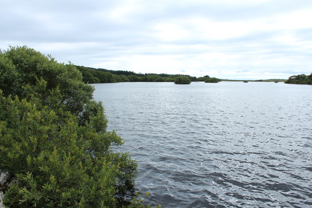
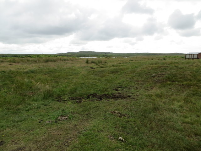
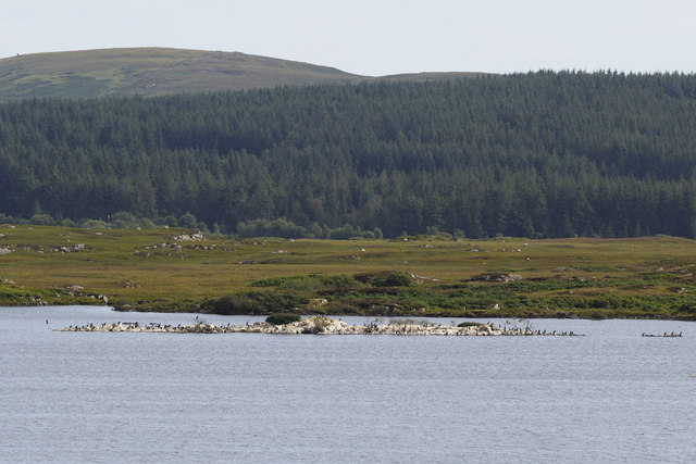
Heathery Ward Wood is a picturesque forest located in Wigtownshire, Scotland. Spread over an area of approximately 500 acres, this woodland is known for its breathtaking natural beauty and diverse range of flora and fauna. The forest is situated on the outskirts of the small village of Kirkinner, making it easily accessible to visitors.
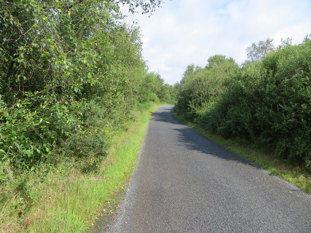
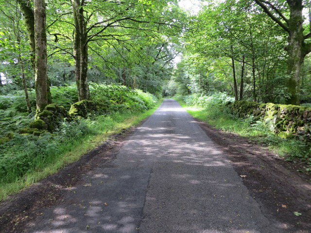
As the name suggests, Heathery Ward Wood is characterized by its heathland vegetation, with an abundance of heather covering the forest floor. The wood is primarily composed of mixed deciduous and coniferous trees, including oak, birch, and Scots pine. These trees provide a habitat for numerous bird species, such as woodpeckers, owls, and various songbirds.
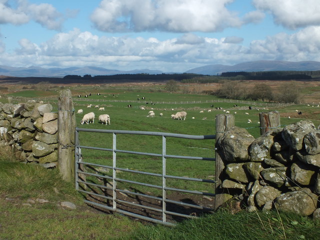
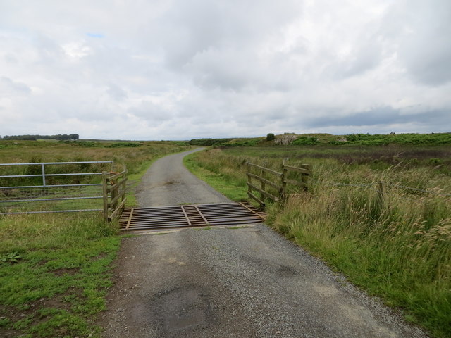
The forest boasts a well-maintained network of walking trails, offering visitors the opportunity to explore its natural wonders. The trails wind through the woodland, leading to stunning viewpoints and secluded picnic spots. Wildlife enthusiasts will be delighted by the presence of deer, red squirrels, and foxes, among other native animals.
Heathery Ward Wood is not only a haven for nature lovers but also a site of historical significance. The forest has remnants of ancient settlements, with archaeological finds dating back to the Neolithic period. These artifacts provide valuable insights into the area's rich cultural heritage.
Overall, Heathery Ward Wood is a captivating destination that offers a delightful blend of natural beauty, wildlife, and history. Whether you are seeking a peaceful stroll through nature or an educational experience, this forest is sure to leave a lasting impression.
If you have any feedback on the listing, please let us know in the comments section below.
Heathery Ward Wood Images
Images are sourced within 2km of 54.845952/-4.6414773 or Grid Reference NX3053. Thanks to Geograph Open Source API. All images are credited.


Heathery Ward Wood is located at Grid Ref: NX3053 (Lat: 54.845952, Lng: -4.6414773)
Unitary Authority: Dumfries and Galloway
Police Authority: Dumfries and Galloway
What 3 Words
///contour.poppy.witless. Near Newton Stewart, Dumfries & Galloway
Nearby Locations
Related Wikis

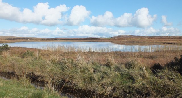
Mochrum Loch
Mochrum Loch is a large, irregular shaped, shallow, freshwater loch in Dumfries and Galloway, in the Southern Uplands of south-west Scotland. It lies approximately...

Castle Loch, Dumfries and Galloway
Castle Loch is a large, shallow, freshwater loch in Dumfries and Galloway, in the Southern Uplands of south-west Scotland. It lies to the west of Mochrum...
Castle Loch
Castle Loch is a shallow eutrophic loch covering an area of around 100 hectares in the town of Lochmaben in Dumfries and Galloway, Scotland. It lies to...

Doon of May
The Doon of May is a conifer plantation associated with an Iron Age hill fort in Dumfries and Galloway, south-west Scotland. Located around 14 kilometres...

Machars
The Machars (Scottish Gaelic: Machair Ghallghaidhealaibh) is a peninsula in the historical county of Wigtownshire in Galloway in the south-west of Scotland...

Elrig
Elrig (Scottish Gaelic: An Eileirg, meaning "the deer run") is a clachan or hamlet in the historical county of Wigtownshire in Dumfries and Galloway...

Wigtown Area
Wigtown is a lieutenancy area in south-west Scotland and a committee area of Dumfries and Galloway Council. From 1975 until 1996 it was also a local government...

Wigtownshire
Wigtownshire or the County of Wigtown (Scottish Gaelic: Siorrachd Bhaile na h-Ùige, Scots: Wigtounshire) is one of the historic counties of Scotland, covering...
Nearby Amenities
Located within 500m of 54.845952,-4.6414773Have you been to Heathery Ward Wood?
Leave your review of Heathery Ward Wood below (or comments, questions and feedback).