Altiwan Plantation

Wood, Forest in Ayrshire

Scotland

Altiwan Plantation

Crossraguel Abbey Built in 1214 with funds provided by Lord Duncan.
Crossraguel Abbey Credit: James Hearton

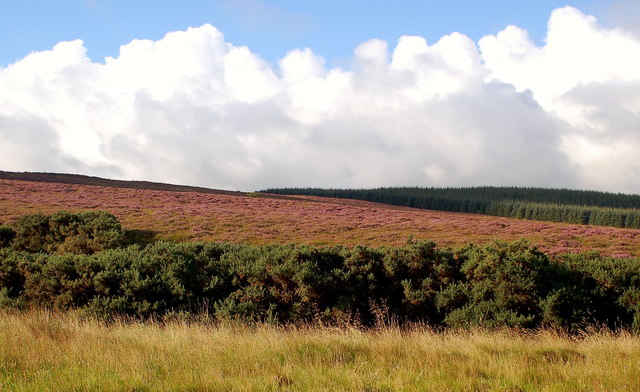
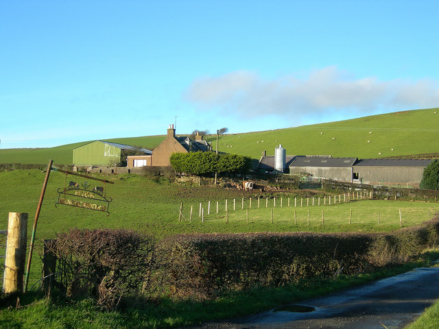
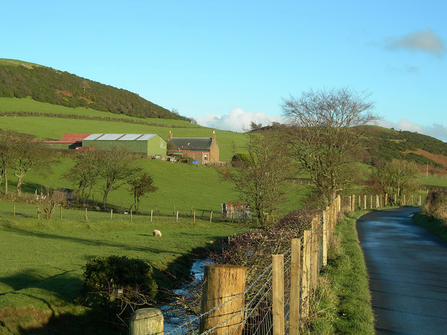
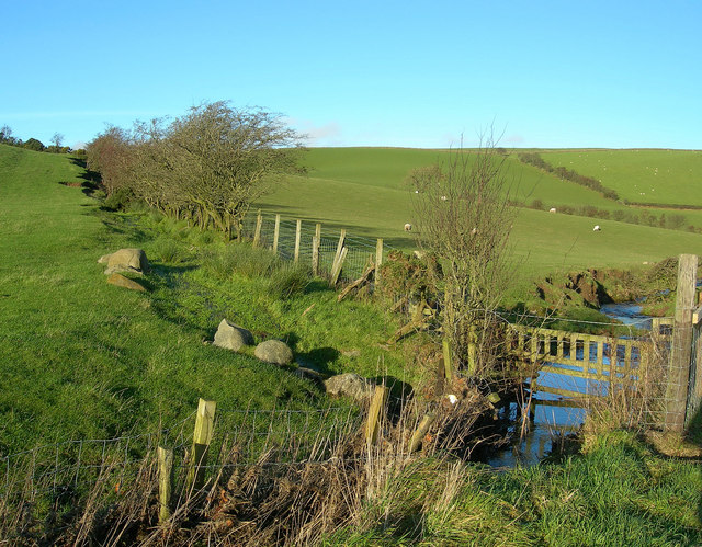
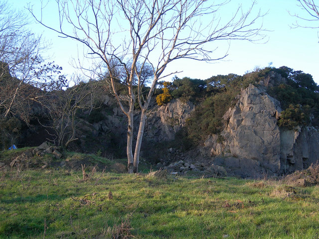
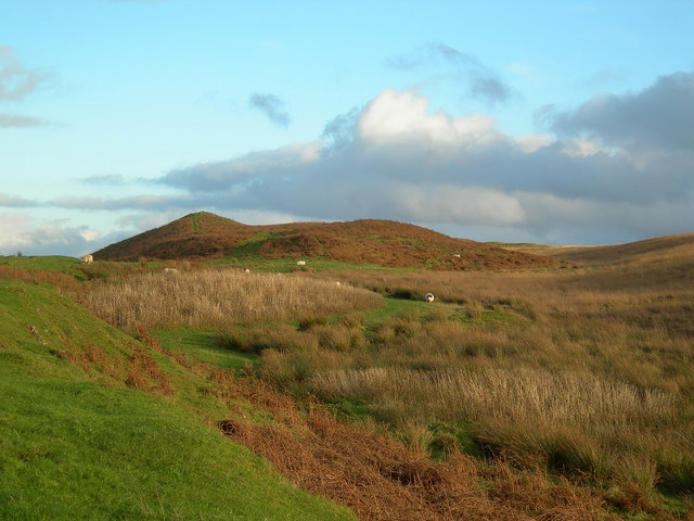
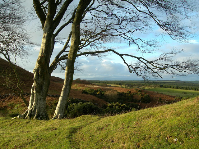
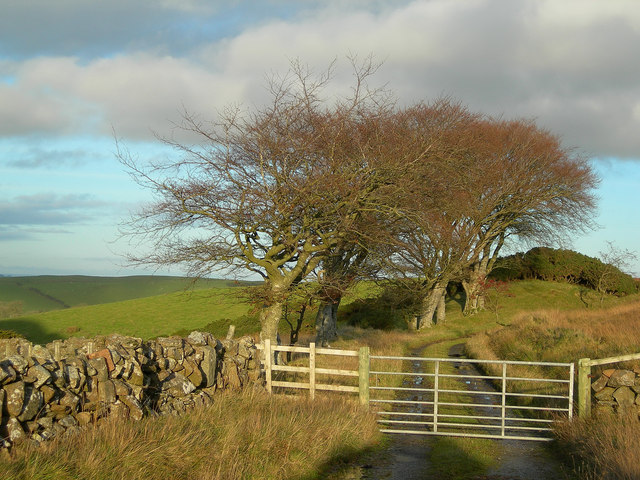
Altiwan Plantation, located in Ayrshire, Scotland, is a picturesque woodland area known for its natural beauty and rich biodiversity. Spread across a sprawling expanse, the plantation stands as a significant natural treasure in the region. The plantation primarily consists of dense forests, with a variety of tree species dominating the landscape.

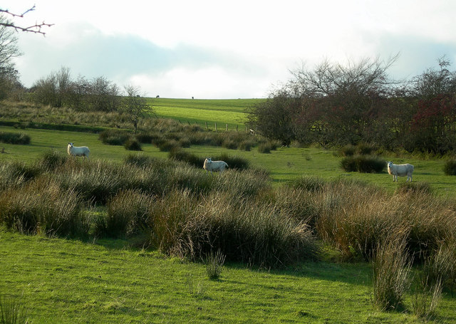
The woodland is predominantly populated by native Scottish trees, including oak, birch, beech, and pine, which create a diverse and vibrant ecosystem. The dense canopy of the trees provides a sanctuary for numerous bird species, such as woodpeckers, owls, and various songbirds, making it a popular destination for birdwatching enthusiasts.

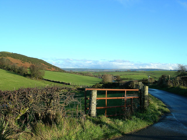
Altiwan Plantation offers a tranquil retreat for nature lovers, providing ample opportunities for outdoor activities. Hiking trails wind through the plantation, allowing visitors to explore the enchanting woodland at their own pace. The crisp, fresh air combined with the soothing sounds of nature make for a rejuvenating experience.

Furthermore, the plantation is home to a wide array of flora and fauna. Wildflowers, ferns, and mosses carpet the forest floor, creating a vibrant tapestry of colors. Squirrels, foxes, and deer can be spotted amidst the trees, adding to the sense of wilderness and natural harmony.

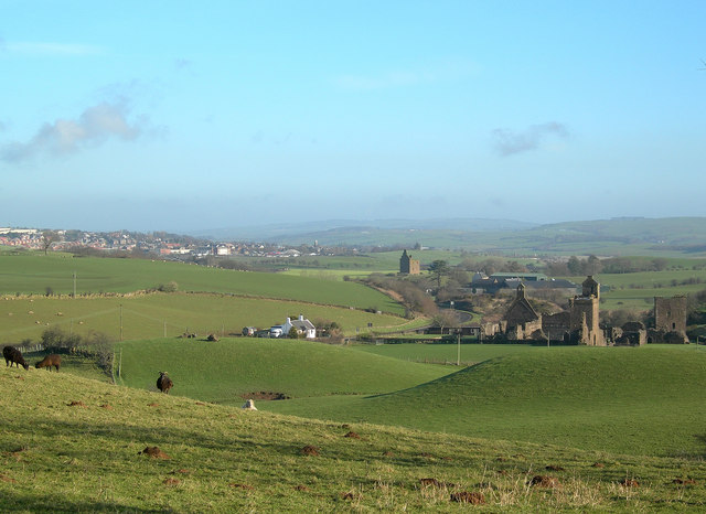
Altiwan Plantation is not only a haven for wildlife and nature enthusiasts but also plays a crucial role in maintaining the ecological balance of the region. The preservation of this woodland gem ensures the conservation of its unique biodiversity and contributes to the overall health and sustainability of Ayrshire's natural landscape.

If you have any feedback on the listing, please let us know in the comments section below.

Altiwan Plantation Images

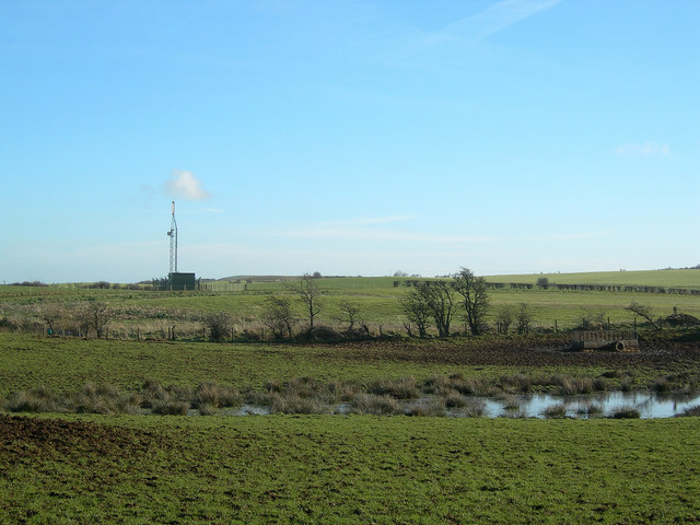
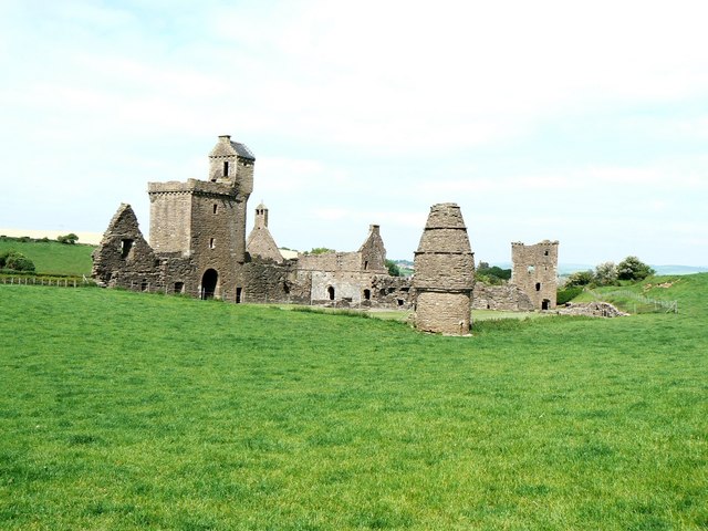
Images are sourced within 2km of 55.322521/-4.7156322 or Grid Reference NS2706. Thanks to Geograph Open Source API. All images are credited.

Crossraguel Abbey Built in 1214 with funds provided by Lord Duncan.
Crossraguel Abbey
Built in 1214 with funds provided by Lord Duncan.
Kildoon Hill
Kildoon Hill
Lochspouts from Craigfin Hill Lochspouts formerly provided the first piped water supply for the Maybole area, replacing the original wells. For a mid-March view, see <a href="https://www.geograph.org.uk/photo/3889240">NS2905 : Lochspouts From Craigfin Hill Again</a>
Lochspouts from Craigfin Hill
Lochspouts formerly provided the first piped water supply for the Maybole area, replacing the original wells. For a mid-March view, see NS2905 : Lochspouts From Craigfin Hill Again
Craigens Wood and Kirk Hill Remnant heather moorland on lower slopes of Kirk Hill with Craigens Wood on right
Craigens Wood and Kirk Hill
Remnant heather moorland on lower slopes of Kirk Hill with Craigens Wood on right
High Burncrooks Farm Located on the southern slopes of Knockbrake Hill.
High Burncrooks Farm
Located on the southern slopes of Knockbrake Hill.
High Burncrooks The hills in the background are Knockbrake, on the left and Kildoon, on the right.
High Burncrooks
The hills in the background are Knockbrake, on the left and Kildoon, on the right.
From High Burncrooks Looking east from the farm road end, towards Kildoon Hill on the left.
From High Burncrooks
Looking east from the farm road end, towards Kildoon Hill on the left.
Water gate Between Altewan and High Burncrooks.
Water gate
Between Altewan and High Burncrooks.
Sheep on Rough Grazing
Old Quarry Looking west from the Low Burncrooks road on a fine November afternoon. For a better view, see <a href="https://www.geograph.org.uk/photo/3889318">NS2906 : Knockmill Quarry</a>
Old Quarry
Looking west from the Low Burncrooks road on a fine November afternoon. For a better view, see NS2906 : Knockmill Quarry
Towards Craigfin Hill Looking east from the Craigdow Farm track.
Towards Craigfin Hill
Looking east from the Craigdow Farm track.
Towards Craigdow Farm Looking through the windswept beech trees towards Craigdow Farm on a fine November afternoon.
Towards Craigdow Farm
Looking through the windswept beech trees towards Craigdow Farm on a fine November afternoon.
The Craigdow track A fine stand of windswept beech trees on the road to Craigdow Farm.
The Craigdow track
A fine stand of windswept beech trees on the road to Craigdow Farm.
Crossraguel View The photo shows the ruins of Crossraguel Abbey in the foreground, Baltersan Castle in the middle distance, and Maybole in the background.
Crossraguel View
The photo shows the ruins of Crossraguel Abbey in the foreground, Baltersan Castle in the middle distance, and Maybole in the background.
Country Road
Country Road
Communications Mast
Communications Mast
Doocot at Crossraguel The circular conical building in the foreground is a two-storey pigeon house, with the remaining ruins of Crossraguel Abbey in the background.
Doocot at Crossraguel
The circular conical building in the foreground is a two-storey pigeon house, with the remaining ruins of Crossraguel Abbey in the background.
Show me another place!

Altiwan Plantation is located at Grid Ref: NS2706 (Lat: 55.322521, Lng: -4.7156322)

Unitary Authority: South Ayrshire

Police Authority: Ayrshire

What 3 Words

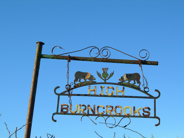
///usual.bookshelf.picked. Near Maybole, South Ayrshire

Related Wikis

Lochspouts

Lochspouts Loch (NS 2885 0586) or Lochspouts was situated in a hollow, surrounded by hilly ground on three sides and bounded by a narrow trap dyke to the...
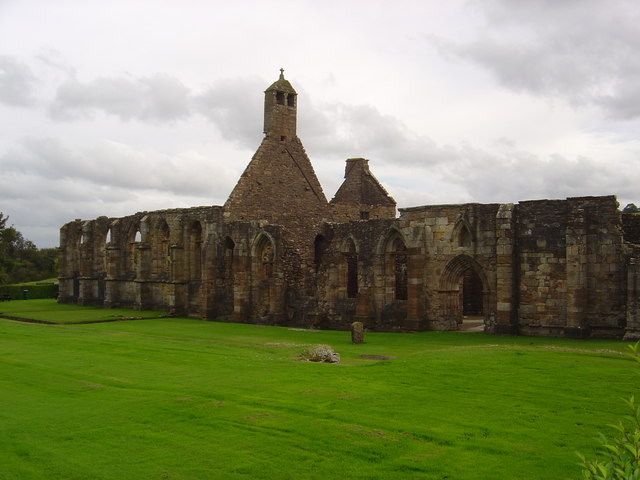
Crossraguel Abbey

The Abbey of Saint Mary of Crossraguel is a ruin of a former abbey near the town of Maybole, South Ayrshire, Scotland. Although it is a ruin, visitors...

Baltersan Castle

Baltersan Castle is a ruined L-plan tower house located near Maybole, South Ayrshire, Scotland. It was originally graded as a Category B listed building...

Kilkerran railway station

Kilkerran railway station served an area of rural Ayrshire, Scotland from 1860 to 1965 on the Maybole and Girvan Railway. == History == The station opened...

Nearby Amenities

Located within 500m of 55.322521,-4.7156322
Power: pole
Lat/Long: 55.3183721/-4.7126992
The data included in this document is from www.openstreetmap.org. The data is made available under ODbL.

Have you been to Altiwan Plantation?

Leave your review of Altiwan Plantation below (or comments, questions and feedback).