Matthew's Wood

Wood, Forest in Ayrshire

Scotland

Matthew's Wood

Road to Colmonell Cemetery From the B734.
Road to Colmonell Cemetery Credit: Billy McCrorie

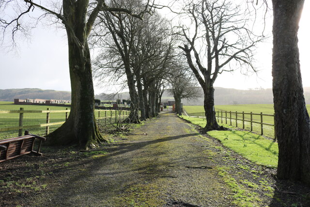
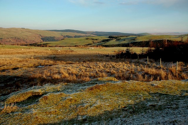
Matthew's Wood is a picturesque woodland located in Ayrshire, Scotland. Covering an area of approximately 50 acres, this enchanting forest is named after Matthew, a local landowner who generously donated the land to the community in the early 20th century. The wood is known for its diverse range of tree species, including oak, ash, beech, and birch, which create a stunning canopy of foliage throughout the year.

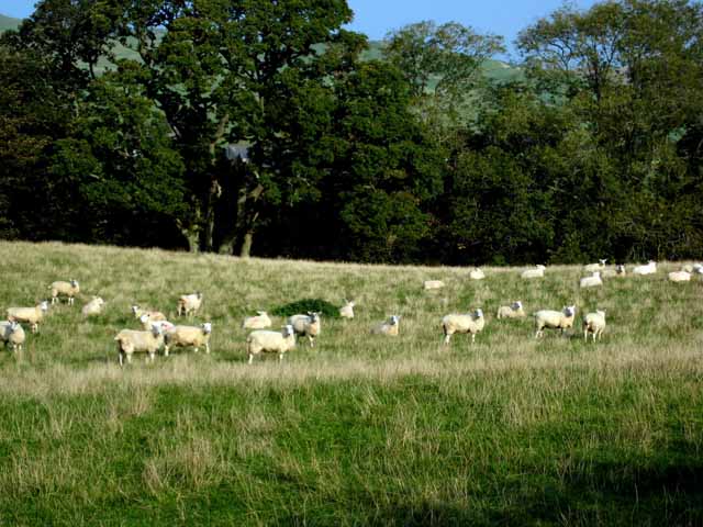
The forest is a haven for wildlife enthusiasts, offering a rich habitat for a variety of animal and bird species. Visitors can often spot roe deer, red squirrels, and a wide array of birdlife, making it an ideal destination for nature lovers and photographers alike. With several well-maintained trails and pathways, Matthew's Wood provides a serene setting for walkers, hikers, and cyclists to explore the natural beauty of the surroundings.

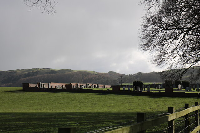
The wood also holds historical significance, with remnants of an ancient settlement discovered within its boundaries. Archaeological excavations have unearthed evidence of human activity dating back to the Iron Age, adding an intriguing dimension to the woodland's allure.

Matthew's Wood is a popular spot for recreational activities, offering picnic areas, benches, and designated camping spots for those seeking a tranquil overnight stay. The forest is managed by a local conservation group that organizes regular events and activities to educate and engage visitors with the natural environment.

In conclusion, Matthew's Wood in Ayrshire is a captivating woodland that combines natural beauty, biodiversity, and historical significance. Its well-preserved landscape and diverse range of flora and fauna make it a must-visit destination for anyone seeking a peaceful escape into nature.

If you have any feedback on the listing, please let us know in the comments section below.

Matthew's Wood Images

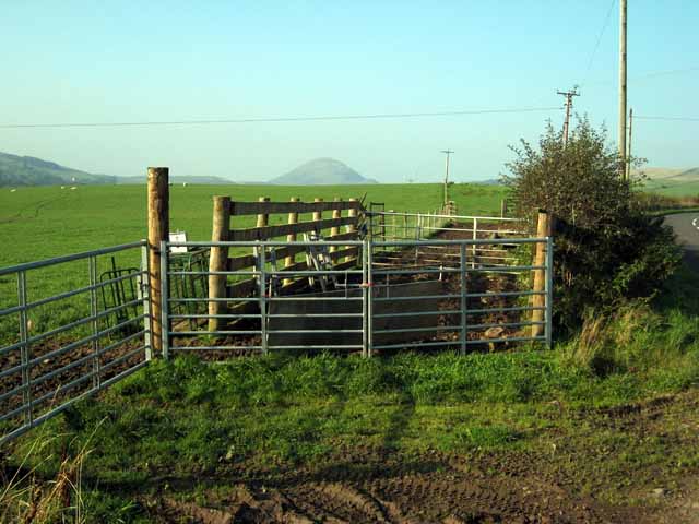
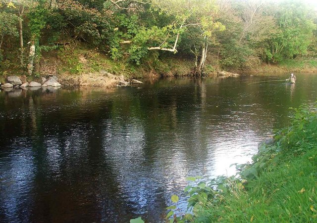
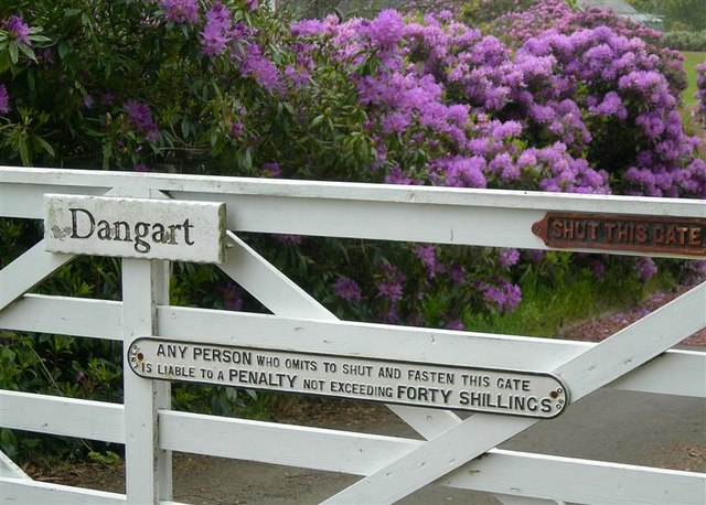
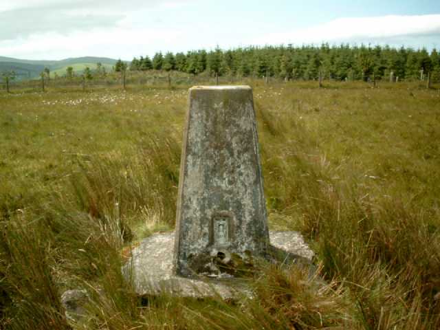
Images are sourced within 2km of 55.126162/-4.8767454 or Grid Reference NX1685. Thanks to Geograph Open Source API. All images are credited.

Road to Colmonell Cemetery From the B734.
Road to Colmonell Cemetery
From the B734.
Colmonell Cemetery From the road up to the Cemetery next to the B734.
Colmonell Cemetery
From the road up to the Cemetery next to the B734.
The B734 to Girvan From the entrance to Colmonell Cemetery. The B734 reaches the A714 then it's left for Girvan and right for Barrhill.
The B734 to Girvan
From the entrance to Colmonell Cemetery. The B734 reaches the A714 then it's left for Girvan and right for Barrhill.
River Stinchar at Colmonell A wintry downstream view with a little snow still lying on the shady side.
River Stinchar at Colmonell
A wintry downstream view with a little snow still lying on the shady side.
Winter at Reuchal An early-March view. Most of the overnight snow had melted in the spring sunshine.
Winter at Reuchal
An early-March view. Most of the overnight snow had melted in the spring sunshine.
Track to Reuchal The light covering of snow was still lying in the shady places.
Track to Reuchal
The light covering of snow was still lying in the shady places.
Reuchal view The distant Galloway Hills were covered with a white blanket but only a sprinkling of snow had fallen around the farm.
Reuchal view
The distant Galloway Hills were covered with a white blanket but only a sprinkling of snow had fallen around the farm.
Old Milestone by the B734, Main Street, Colmonell Stone post by the B734, in parish of Colmonell ( District), Colmonell, near Loomknowe, opposite 1st light East end of village, north west side of road.

Inscription reads:-
: GIRVAN 11½ / DALJARROCK 4 : : BALLANTRAE / 5 : 

Milestone Society National ID: AYS_DJCL04.
Old Milestone by the B734, Main Street, Colmonell
Stone post by the B734, in parish of Colmonell ( District), Colmonell, near Loomknowe, opposite 1st light East end of village, north west side of road. Inscription reads:- : GIRVAN 11½ / DALJARROCK 4 : : BALLANTRAE / 5 : Milestone Society National ID: AYS_DJCL04.
Sheep may safely graze Near Colmonell
Sheep may safely graze
Near Colmonell
Field gate near Craig Farm, Colmonell
Avenue of trees on the B734 near Colmonell Road from Pinwherry to Ballantrae
Avenue of trees on the B734 near Colmonell
Road from Pinwherry to Ballantrae
Craig Cottage On the B734. Shown as "Craig Farm" on the map.
Craig Cottage
On the B734. Shown as "Craig Farm" on the map.
The Battery Pool. River Stinchar This picture shows an angler fishing the Battery Pool on the River Stinchar. This pool has been modified to improve the fishing and the boulders on the left of the photo have been placed there, to help stabilise the bankings and also to create favourable conditions for the salmon to remain in the pool for longer.
The Battery Pool. River Stinchar
This picture shows an angler fishing the Battery Pool on the River Stinchar. This pool has been modified to improve the fishing and the boulders on the left of the photo have been placed there, to help stabilise the bankings and also to create favourable conditions for the salmon to remain in the pool for longer.
The Gate at Dangart An interesting sign, originally belonging to a gate at a railway crossing on the London & North East Railway.  Forty shillings (£2) would have been a substantial fine when the original gate was in use on the railway.
The Gate at Dangart
An interesting sign, originally belonging to a gate at a railway crossing on the London & North East Railway. Forty shillings (£2) would have been a substantial fine when the original gate was in use on the railway.
Wheeb Hill Trig Pillar, S8087 The pillar was completed on 7th August 1954 costing £19.2s.6d.
Wheeb Hill Trig Pillar, S8087
The pillar was completed on 7th August 1954 costing £19.2s.6d.
Knockdolian View Looking out towards the Firth of Clyde on a fine, frosty December morning.
Knockdolian View
Looking out towards the Firth of Clyde on a fine, frosty December morning.
Towards Dalreoch Burn Upland farming country, viewed on a frosty December morning.  The small valley of Dalreoch Burn, in the same square, is visible in the background of this shot.
Towards Dalreoch Burn
Upland farming country, viewed on a frosty December morning. The small valley of Dalreoch Burn, in the same square, is visible in the background of this shot.
Hill Grazing Land A winter view of hill grazing on the lower slopes of Ford Hill.
Hill Grazing Land
A winter view of hill grazing on the lower slopes of Ford Hill.
Show me another place!

Matthew's Wood is located at Grid Ref: NX1685 (Lat: 55.126162, Lng: -4.8767454)

Unitary Authority: South Ayrshire

Police Authority: Ayrshire

What 3 Words

///fails.noun.mankind. Near Girvan, South Ayrshire

Related Wikis

Colmonell

Colmonell (Scottish Gaelic: Cill Cholmain Eala) (meaning the church of St. Colman of Lainn Eala - in Lynally, County Offaly, Ireland) is a small village...

Pinwherry railway station

Pinwherry railway station served the village of Pinwherry, South Ayrshire, Scotland from 1887 to 1965 on the Girvan and Portpatrick Junction Railway....

Pinwherry

Pinwherry is a hamlet in the civil parish of Colmonell, in the council area of South Ayrshire, Scotland. It is 8 miles south of Girvan. In 1961 it had...

Heronsford

Heronsford is a village located in South Ayrshire, South-West Scotland. == About == Heronsford is a hamlet located near Ballantrae that sits along the...

Nearby Amenities

Located within 500m of 55.126162,-4.8767454
Barrier: cattle_grid
Lat/Long: 55.1221656/-4.874763
Power: pole
Lat/Long: 55.1271118/-4.8841959
Power: pole
Lat/Long: 55.1262916/-4.8835516
Power: pole
Lat/Long: 55.1256448/-4.8830436
Power: pole
Lat/Long: 55.1249268/-4.8824956
Power: pole
Lat/Long: 55.124479/-4.8812022
Power: pole
Lat/Long: 55.12405/-4.8798923
Power: pole
Lat/Long: 55.1236063/-4.8786153
Power: pole
Lat/Long: 55.1231329/-4.8771831
Power: pole
Lat/Long: 55.1227537/-4.8760214
Power: pole
Lat/Long: 55.1226159/-4.8742882
Power: pole
Lat/Long: 55.1225318/-4.8732299
Power: pole
Lat/Long: 55.1262472/-4.8843017
Power: pole
Lat/Long: 55.1223812/-4.8746621
Power: pole
Lat/Long: 55.1222346/-4.8748831
Power: pole
Lat/Long: 55.1217666/-4.8756333
The data included in this document is from www.openstreetmap.org. The data is made available under ODbL.

Have you been to Matthew's Wood?

Leave your review of Matthew's Wood below (or comments, questions and feedback).