Shalloch Wood

Wood, Forest in Ayrshire

Scotland

Shalloch Wood

Winter at Reuchal An early-March view. Most of the overnight snow had melted in the spring sunshine.
Winter at Reuchal Credit: Mary and Angus Hogg

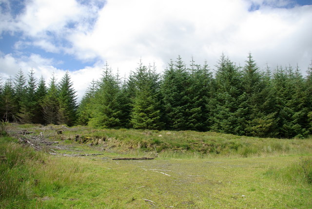
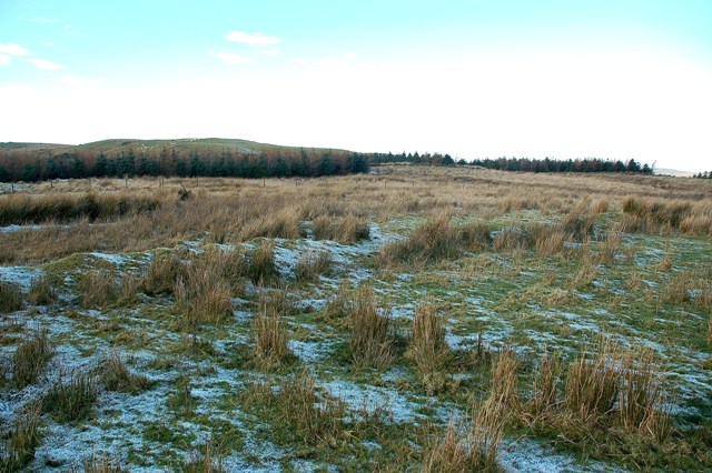
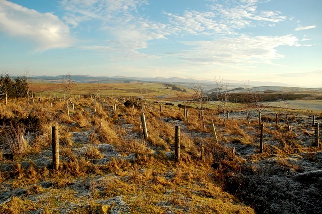
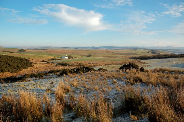
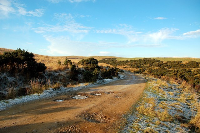
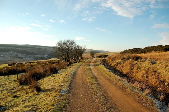
Shalloch Wood is a picturesque forest located in Ayrshire, Scotland. Covering an area of approximately 250 hectares, this woodland is a popular destination for nature enthusiasts and outdoor lovers. The wood is situated near the village of Straiton, offering stunning views of the surrounding countryside.

Shalloch Wood is predominantly composed of native broadleaf trees, including oak, birch, and rowan. These trees create a diverse and vibrant ecosystem, providing habitats for a wide array of flora and fauna. The forest floor is carpeted with an assortment of wildflowers, adding a splash of color to the landscape during the spring and summer months.

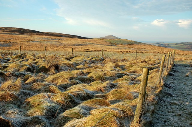
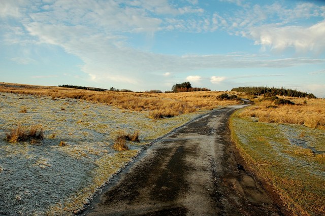
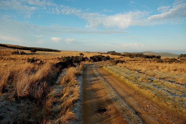
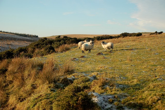
The wood features several walking trails that cater to different fitness levels and interests. Visitors can explore the forest along well-maintained paths, which wind through enchanting glens and along the banks of tranquil streams. The trails offer opportunities for birdwatching and wildlife spotting, with frequent sightings of red squirrels, roe deer, and a variety of bird species.

For those seeking a more adventurous experience, Shalloch Wood also offers mountain biking routes that weave through the forest. These trails vary in difficulty, ensuring there is something for both beginners and experienced riders.

Shalloch Wood is a designated Site of Special Scientific Interest (SSSI), recognizing its ecological importance and the unique habitats it supports. The forest is managed by the Forestry and Land Scotland, ensuring the preservation and conservation of its natural beauty for future generations to enjoy.

If you have any feedback on the listing, please let us know in the comments section below.

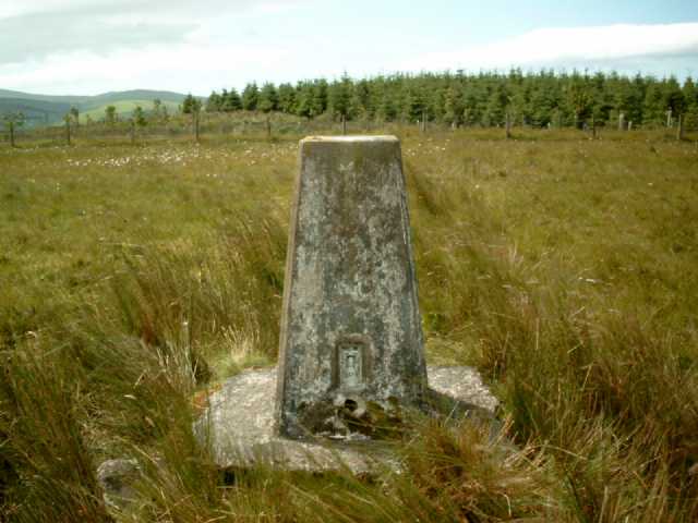
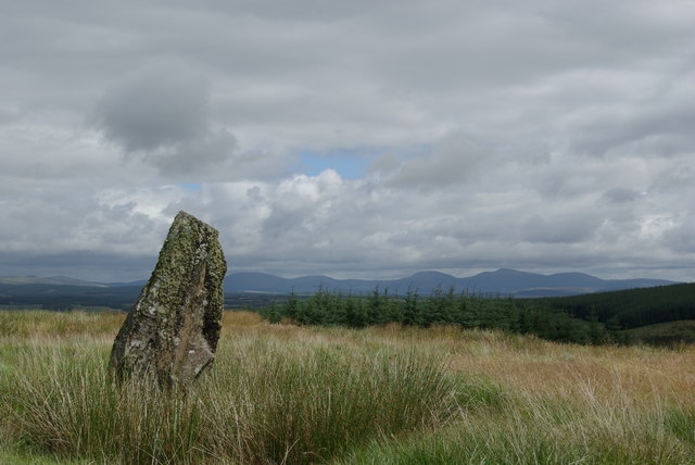
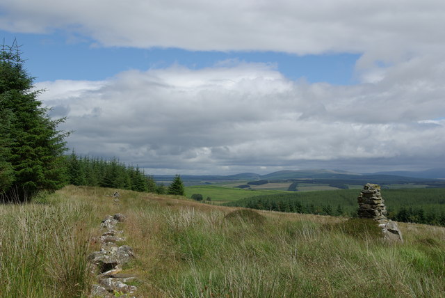
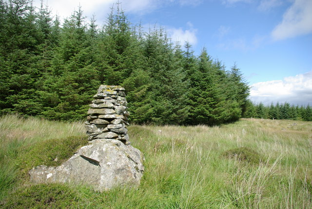
Shalloch Wood Images

Images are sourced within 2km of 55.106424/-4.8754359 or Grid Reference NX1682. Thanks to Geograph Open Source API. All images are credited.

Winter at Reuchal An early-March view. Most of the overnight snow had melted in the spring sunshine.
Winter at Reuchal
An early-March view. Most of the overnight snow had melted in the spring sunshine.
Track to Reuchal The light covering of snow was still lying in the shady places.
Track to Reuchal
The light covering of snow was still lying in the shady places.
Reuchal view The distant Galloway Hills were covered with a white blanket but only a sprinkling of snow had fallen around the farm.
Reuchal view
The distant Galloway Hills were covered with a white blanket but only a sprinkling of snow had fallen around the farm.
Wheeb Hill Trig Pillar, S8087 The pillar was completed on 7th August 1954 costing £19.2s.6d.
Wheeb Hill Trig Pillar, S8087
The pillar was completed on 7th August 1954 costing £19.2s.6d.
Standing Stone At a height of 2.4 metres, this is known locally as the 'Stinnen Stane'.
Standing Stone
At a height of 2.4 metres, this is known locally as the 'Stinnen Stane'.
End of the forest road
Hill Grazing Land A winter view of hill grazing on the lower slopes of Ford Hill.
Hill Grazing Land
A winter view of hill grazing on the lower slopes of Ford Hill.
Winter Scene Looking towards the Firth of Clyde from the lower slopes of Ford Hill.  The top of Knockdolian is visible in the distance.
Winter Scene
Looking towards the Firth of Clyde from the lower slopes of Ford Hill. The top of Knockdolian is visible in the distance.
Farm Road This roads connects four upland farms with the Stinchar valley at Colmonell.
Farm Road
This roads connects four upland farms with the Stinchar valley at Colmonell.
On The Farm Track Looking back towards the Firth of Clyde on a fine December morning.
On The Farm Track
Looking back towards the Firth of Clyde on a fine December morning.
Ford Hill View The low-angle winter sun had left the night's frost lying the shady spots.
Ford Hill View
The low-angle winter sun had left the night's frost lying the shady spots.
Towards The Burn Of Lig Looking down the valley of the Burn of Lig from the high farm track.
Towards The Burn Of Lig
Looking down the valley of the Burn of Lig from the high farm track.
Hill Sheep Black-faced sheep on hill grazing in early December.  The valley of the Burn of Lig is visible on the left.
Hill Sheep
Black-faced sheep on hill grazing in early December. The valley of the Burn of Lig is visible on the left.
A Winter View Looking down the valley of the Burn of Lig on a frosty December morning.  Reuchal farm is shown on the left.
A Winter View
Looking down the valley of the Burn of Lig on a frosty December morning. Reuchal farm is shown on the left.
Farm Track This track links some isolated farms with the Stinchar Valley at Colmonell.
Farm Track
This track links some isolated farms with the Stinchar Valley at Colmonell.
Into Glen Tig On the farm track above the upper part of Glen Tig.
Into Glen Tig
On the farm track above the upper part of Glen Tig.
Show me another place!

Shalloch Wood is located at Grid Ref: NX1682 (Lat: 55.106424, Lng: -4.8754359)

Unitary Authority: South Ayrshire

Police Authority: Ayrshire

What 3 Words

///decoded.fizzy.midfield. Near Girvan, South Ayrshire

Nearby Locations

Shalloch Wood

Related Wikis

Colmonell

Colmonell (Scottish Gaelic: Cill Cholmain Eala) (meaning the church of St. Colman of Lainn Eala - in Lynally, County Offaly, Ireland) is a small village...

Heronsford

Heronsford is a village located in South Ayrshire, South-West Scotland. == About == Heronsford is a hamlet located near Ballantrae that sits along the...

Pinwherry

Pinwherry is a hamlet in the civil parish of Colmonell, in the council area of South Ayrshire, Scotland. It is 8 miles south of Girvan. In 1961 it had...

Pinwherry railway station

Pinwherry railway station served the village of Pinwherry, South Ayrshire, Scotland from 1887 to 1965 on the Girvan and Portpatrick Junction Railway....

Nearby Amenities

Located within 500m of 55.106424,-4.8754359
Design: delta
Power: tower
Lat/Long: 55.102847/-4.8791957
Design: delta
Power: tower
Lat/Long: 55.1038414/-4.8754299
Design: delta
Power: tower
Lat/Long: 55.1050014/-4.8713958
The data included in this document is from www.openstreetmap.org. The data is made available under ODbL.

Have you been to Shalloch Wood?

Leave your review of Shalloch Wood below (or comments, questions and feedback).