Gowk Nest Wood

Wood, Forest in Wigtownshire

Scotland

Gowk Nest Wood

Old milestone Continuing northwards out of New Luce this milestone was spotted leaning precariously at the entrance to Knockiebae.  The full length of the worked stone is seen with a further few centimetres of rough stone at the base.
Old milestone Credit: Chris Minto

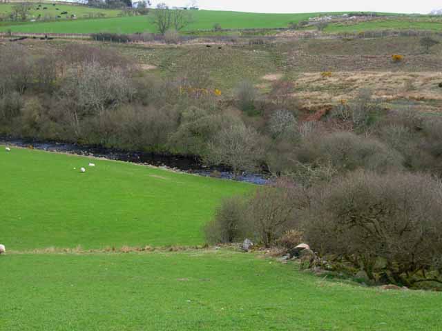
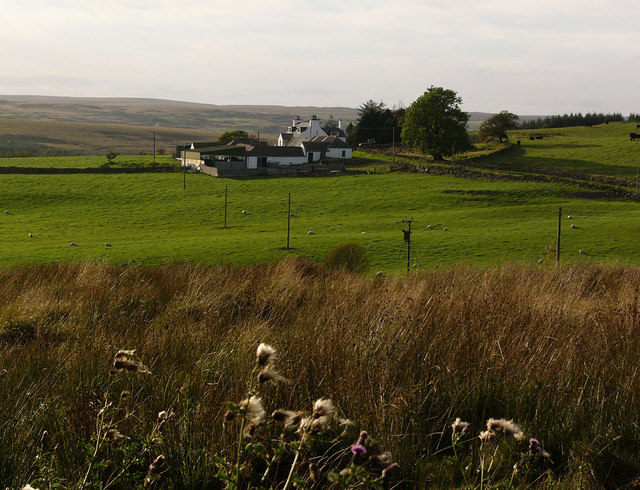
Gowk Nest Wood is a picturesque forest located in Wigtownshire, Scotland. Spanning over a vast area, this woodland is known for its diverse flora and fauna, making it a popular destination for nature enthusiasts and hikers alike.

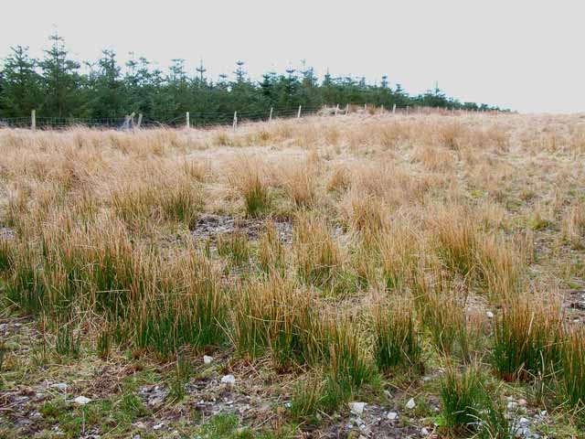
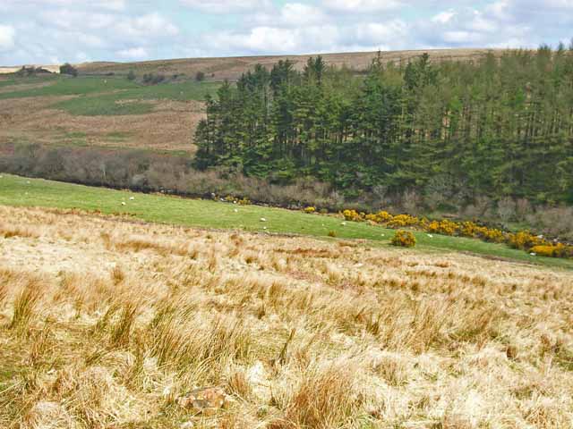
The wood is dominated by a variety of tree species, including oak, birch, and beech. These towering trees create a dense canopy that provides shade and shelter to a plethora of wildlife. The forest floor is carpeted with an array of wildflowers and ferns, adding a burst of color to the surroundings.

The wood is home to numerous bird species, including the great spotted woodpecker, tawny owl, and pied flycatcher. Birdwatchers can often spot these feathered creatures flitting among the branches or hear their melodious songs echoing through the woods. Squirrels, badgers, and deer are also common sightings within Gowk Nest Wood, adding to its natural charm.

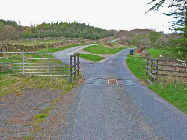
Several well-maintained trails wind through the forest, offering visitors the opportunity to explore its wonders. These paths are suitable for all abilities and provide a chance to experience the tranquility and beauty of the wood firsthand. Along the way, informative signposts provide interesting facts about the local flora and fauna, enhancing the educational value of the visit.

Gowk Nest Wood is not only a haven for wildlife but also a peaceful retreat for those seeking solace in nature's embrace. Its breathtaking scenery, diverse ecosystem, and well-maintained trails make it a must-visit destination for anyone looking to immerse themselves in the natural wonders of Wigtownshire.

If you have any feedback on the listing, please let us know in the comments section below.

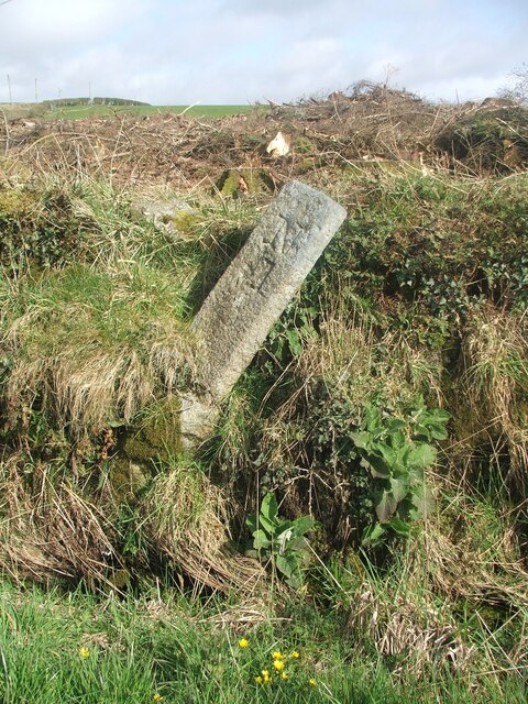
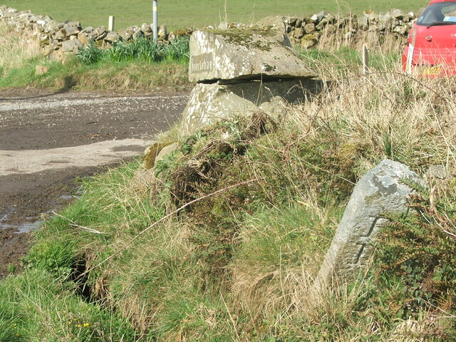
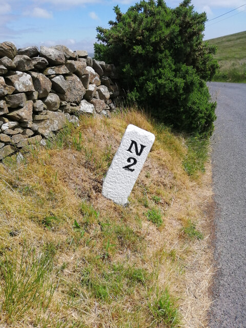
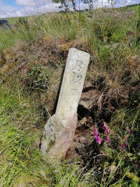
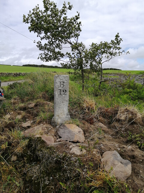
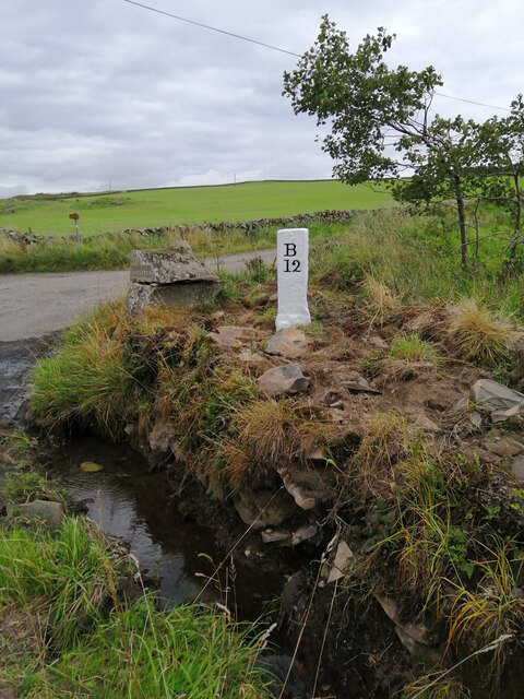
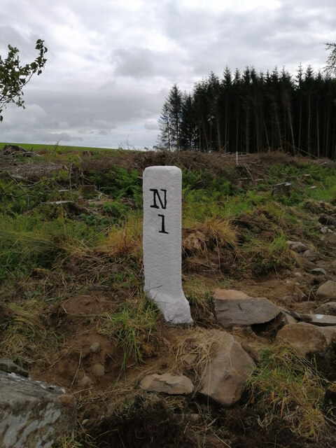
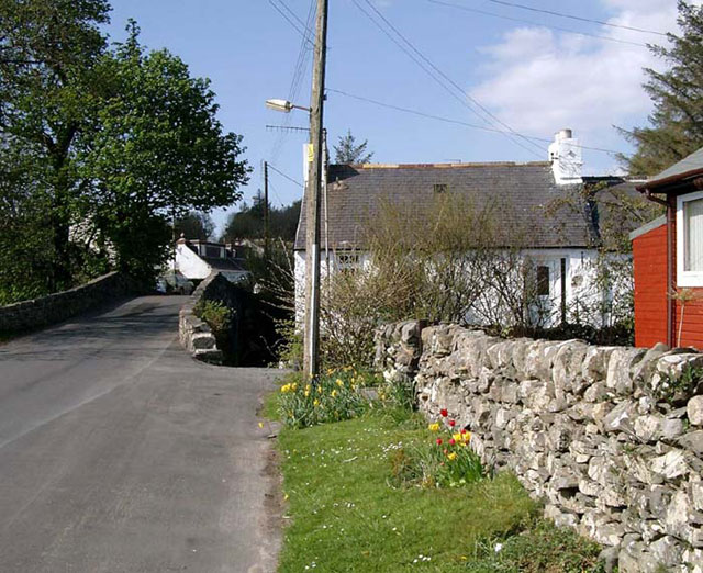
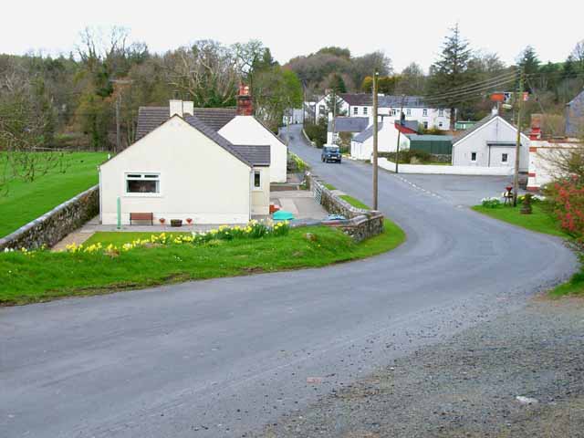
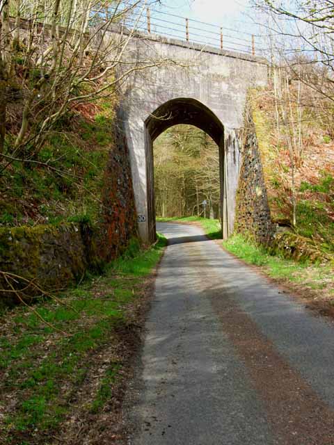
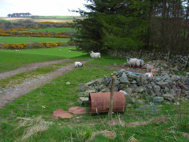
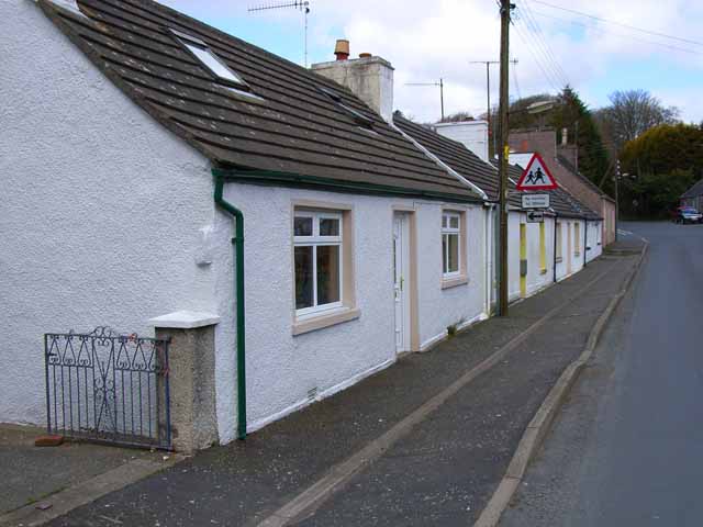
Gowk Nest Wood Images

Images are sourced within 2km of 54.947472/-4.8651468 or Grid Reference NX1665. Thanks to Geograph Open Source API. All images are credited.

Old milestone Continuing northwards out of New Luce this milestone was spotted leaning precariously at the entrance to Knockiebae.  The full length of the worked stone is seen with a further few centimetres of rough stone at the base.
Old milestone
Continuing northwards out of New Luce this milestone was spotted leaning precariously at the entrance to Knockiebae. The full length of the worked stone is seen with a further few centimetres of rough stone at the base.
Old milestone The milestone just to the south of the entrance to Knockiebae.   The inscription on this face is B/13.   B is for Barrhill which is over the county border in Ayrshire.
Old milestone
The milestone just to the south of the entrance to Knockiebae. The inscription on this face is B/13. B is for Barrhill which is over the county border in Ayrshire.
Old milestone On the UC road from New Luce to the A75 at Castle Kennedy.   It is a typical stone for this part of Wigtownshire, triangular with a narrow, flat front edge.   The other face is S/7.   It has been painted by a Milestone Society member.
Old milestone
On the UC road from New Luce to the A75 at Castle Kennedy. It is a typical stone for this part of Wigtownshire, triangular with a narrow, flat front edge. The other face is S/7. It has been painted by a Milestone Society member.
Old milestone The Stranraer face of the milestone on the UC road southwest of New Luce.   Although leaning and on a steep verge there will be enough stone under soil level to keep it safe.   Dating from the end of the 19C or beginning of the 20C these Wigtownshire milestones can have broken off corners or uneven edges.
Old milestone
The Stranraer face of the milestone on the UC road southwest of New Luce. Although leaning and on a steep verge there will be enough stone under soil level to keep it safe. Dating from the end of the 19C or beginning of the 20C these Wigtownshire milestones can have broken off corners or uneven edges.
Old milestone In August the farmer and a Milestone Society member dug out this milestone, on the unclassified road north of New Luce, from the ditch.  This shows the length of unworked stone needed to set the milestone firmly.  It was decided to put the stone higher up the banking and out of the ditch.
Old milestone
In August the farmer and a Milestone Society member dug out this milestone, on the unclassified road north of New Luce, from the ditch. This shows the length of unworked stone needed to set the milestone firmly. It was decided to put the stone higher up the banking and out of the ditch.
Old milestone Now set higher up out of the wet ditch, the milestone is ready for painting
Old milestone
Now set higher up out of the wet ditch, the milestone is ready for painting
Old milestone Well painted and now a visible feature by the roadside of this UC route north of New Luce to Barrhill in Ayrshire.
Old milestone
Well painted and now a visible feature by the roadside of this UC route north of New Luce to Barrhill in Ayrshire.
Old milestone And to complete the story of this milestone, a view of the New Luce face.
Old milestone
And to complete the story of this milestone, a view of the New Luce face.
New Luce Centre of the village, showing the bridge across the Water of Luce.
New Luce
Centre of the village, showing the bridge across the Water of Luce.
Moorland and shelter belt Just off the New Luce to Penwhirn road
Moorland and shelter belt
Just off the New Luce to Penwhirn road
Cattle grid on the New Luce to Penwhirn road Farm road to Little Larg off to the left.
Cattle grid on the New Luce to Penwhirn road
Farm road to Little Larg off to the left.
Main Water of Luce Seen from the New Luce to Penwhirn road. The 1995 Landranger map shows a bridge over the river at this point, but I could see no signs of it now.
Main Water of Luce
Seen from the New Luce to Penwhirn road. The 1995 Landranger map shows a bridge over the river at this point, but I could see no signs of it now.
Valley of the Main Water of Luce Seen from the New Luce to Penwhirn road.
Valley of the Main Water of Luce
Seen from the New Luce to Penwhirn road.
Main street in New Luce <span class="nowrap"><a title="http://freepages.history.rootsweb.com/~leighann/parishes/newluce/newluce2.html" rel="nofollow ugc noopener" href="http://freepages.history.rootsweb.com/~leighann/parishes/newluce/newluce2.html">Link</a><img style="margin-left:2px;" alt="External link" title="External link - shift click to open in new window" src="https://s1.geograph.org.uk/img/external.png" width="10" height="10"/></span>
Main street in New Luce
Railway bridge near New Luce This tall elegant bridge carries the Glasgow to Stranraer railway over the road from New Luce to Penwhirn.
Railway bridge near New Luce
This tall elegant bridge carries the Glasgow to Stranraer railway over the road from New Luce to Penwhirn.
Sheep in the valley of the Main Water of Luce
Cottages at New Luce North end of the village. <span class="nowrap"><a title="http://freepages.history.rootsweb.com/~leighann/parishes/newluce/newluce2.html" rel="nofollow ugc noopener" href="http://freepages.history.rootsweb.com/~leighann/parishes/newluce/newluce2.html">Link</a><img style="margin-left:2px;" alt="External link" title="External link - shift click to open in new window" src="https://s1.geograph.org.uk/img/external.png" width="10" height="10"/></span>
Cottages at New Luce
North end of the village. LinkExternal link
Barlure  Farm Taken from near Stair Lodge. Barlure (Barr lobhair) means the lepers hill. In the middle ages, the monks of Glenluce Abbey would take lepers from the abbey to a leper colony up on the remote high moorland at Liberland (=leper land), between Loch Derry and Loch Maberry. Barlure may have been one of the places where lepers were gathered prior to making the journey.
Barlure Farm
Taken from near Stair Lodge. Barlure (Barr lobhair) means the lepers hill. In the middle ages, the monks of Glenluce Abbey would take lepers from the abbey to a leper colony up on the remote high moorland at Liberland (=leper land), between Loch Derry and Loch Maberry. Barlure may have been one of the places where lepers were gathered prior to making the journey.
Show me another place!

Gowk Nest Wood is located at Grid Ref: NX1665 (Lat: 54.947472, Lng: -4.8651468)

Unitary Authority: Dumfries and Galloway

Police Authority: Dumfries and Galloway

What 3 Words

///duet.calls.weep. Near Cairnryan, Dumfries & Galloway

Related Wikis

New Luce railway station

New Luce railway station served the village of New Luce, Dumfries and Galloway, Scotland from 1887 to 1965 on the Girvan and Portpatrick Junction Railway...

New Luce

New Luce (Scottish Gaelic: Baile Ùr Ghlinn Lus) is a civil parish in Dumfries and Galloway, south-west Scotland. It lies in the traditional county of Wigtownshire...

Mid Gleniron

Mid Gleniron is a prehistoric site in Dumfries and Galloway used in the Neolithic and Bronze Age. The site is a scheduled ancient monument that comprises...

Inch, Dumfries and Galloway

Inch is a civil parish in Dumfries and Galloway, southwest Scotland. It lies on the shore of Loch Ryan, in the traditional county of Wigtownshire.The...

Glenwhilly railway station

Glenwhilly railway station served the area of Glenwhilly, Dumfries and Galloway, Scotland from 1887 to 1965 on the Girvan and Portpatrick Junction Railway...

Penwhirn Reservoir

Penwhirn Reservoir, is a reservoir in Dumfries and Galloway, Scotland, approximately 3.5 miles (6 km) east of Cairnryan. The reservoir was built in the...

Loups of Dalnigap

Loups of Dalnigap is a waterfall of Scotland. It sits below Dalnigap House, in the South of the Lagafater Estate. == See also == Waterfalls of Scotland...

Glenluce Abbey

Glenluce Abbey, near to Glenluce, Scotland, was a Cistercian monastery called also Abbey of Luce or Vallis Lucis and founded around 1190 by Rolland or...

Nearby Amenities

Located within 500m of 54.947472,-4.8651468
Power: pole
Lat/Long: 54.9453753/-4.8586708
Power: pole
Lat/Long: 54.9452526/-4.8597084
Power: pole
Lat/Long: 54.9451165/-4.8607085
Power: pole
Lat/Long: 54.9450113/-4.861441
Power: pole
Lat/Long: 54.9449681/-4.861779
Power: pole
Lat/Long: 54.9452823/-4.862873
Power: pole
Lat/Long: 54.9455843/-4.8641102
Power: pole
Lat/Long: 54.9458931/-4.8653216
Power: pole
Lat/Long: 54.9461992/-4.8665752
Power: pole
Lat/Long: 54.946512/-4.8677842
Power: pole
Lat/Long: 54.9468221/-4.8689745
Power: pole
Lat/Long: 54.9471552/-4.8702375
Power: pole
Lat/Long: 54.9479169/-4.8707023
Power: pole
Lat/Long: 54.9487273/-4.8711859
Power: pole
Lat/Long: 54.9494809/-4.8716461
The data included in this document is from www.openstreetmap.org. The data is made available under ODbL.

Have you been to Gowk Nest Wood?

Leave your review of Gowk Nest Wood below (or comments, questions and feedback).