Dalreoch Hill

Hill, Mountain in Ayrshire

Scotland

Dalreoch Hill

Road to Colmonell Cemetery From the B734.
Road to Colmonell Cemetery Credit: Billy McCrorie

Dalreoch Hill is a prominent landmark located in Ayrshire, Scotland. It is classified as a hill, rather than a mountain, with an elevation of approximately 250 meters (820 feet). Situated in the southwestern part of Scotland, Dalreoch Hill offers stunning panoramic views of the surrounding countryside.

The hill is characterized by its gentle slopes and undulating terrain, covered in lush green vegetation. It is predominantly composed of sandstone, which gives it a distinctive reddish hue. The hill is home to a diverse range of flora and fauna, with heather, grasses, and wildflowers dotting its landscape.

Dalreoch Hill is popular among outdoor enthusiasts and nature lovers, offering numerous walking and hiking trails that cater to different levels of difficulty. There are various routes to explore, allowing visitors to appreciate the natural beauty of the area. As they ascend the hill, walkers are treated to breathtaking vistas of the Ayrshire countryside, including the nearby Ayr Bay and the Isle of Arran in the distance.

Additionally, the hill has historical significance, with remnants of ancient settlements and structures found in the vicinity. These archaeological sites provide a glimpse into the area's rich past and add to the allure of Dalreoch Hill as a destination for exploration and discovery.

Overall, Dalreoch Hill in Ayrshire offers a picturesque setting, combining natural beauty, recreational opportunities, and historical intrigue. Whether it's a leisurely stroll or a challenging hike, visitors are sure to be captivated by the charm and tranquility of this remarkable hill.

If you have any feedback on the listing, please let us know in the comments section below.

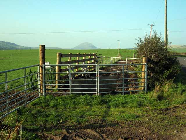
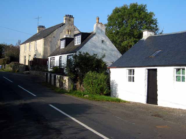
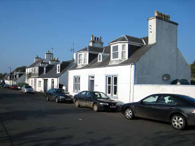
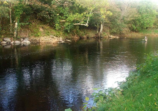
Dalreoch Hill Images

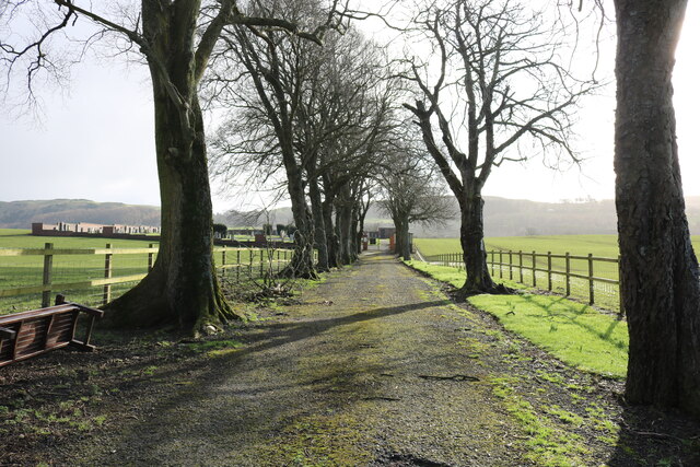
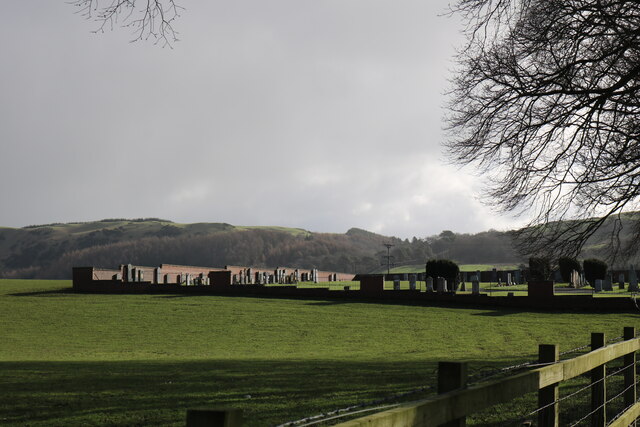
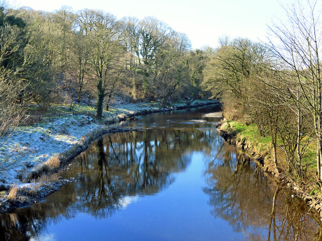
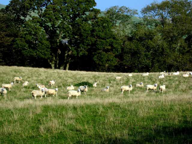
Images are sourced within 2km of 55.131563/-4.8752984 or Grid Reference NX1685. Thanks to Geograph Open Source API. All images are credited.

Road to Colmonell Cemetery From the B734.
Road to Colmonell Cemetery
From the B734.
Colmonell Cemetery From the road up to the Cemetery next to the B734.
Colmonell Cemetery
From the road up to the Cemetery next to the B734.
The B734 to Girvan From the entrance to Colmonell Cemetery. The B734 reaches the A714 then it's left for Girvan and right for Barrhill.
The B734 to Girvan
From the entrance to Colmonell Cemetery. The B734 reaches the A714 then it's left for Girvan and right for Barrhill.
River Stinchar at Colmonell A wintry downstream view with a little snow still lying on the shady side.
River Stinchar at Colmonell
A wintry downstream view with a little snow still lying on the shady side.
Winter at Reuchal An early-March view. Most of the overnight snow had melted in the spring sunshine.
Winter at Reuchal
An early-March view. Most of the overnight snow had melted in the spring sunshine.
Track to Reuchal The light covering of snow was still lying in the shady places.
Track to Reuchal
The light covering of snow was still lying in the shady places.
Reuchal view The distant Galloway Hills were covered with a white blanket but only a sprinkling of snow had fallen around the farm.
Reuchal view
The distant Galloway Hills were covered with a white blanket but only a sprinkling of snow had fallen around the farm.
Old Milestone by the B734, Main Street, Colmonell Stone post by the B734, in parish of Colmonell ( District), Colmonell, near Loomknowe, opposite 1st light East end of village, north west side of road.

Inscription reads:-
: GIRVAN 11½ / DALJARROCK 4 : : BALLANTRAE / 5 : 

Milestone Society National ID: AYS_DJCL04.
Old Milestone by the B734, Main Street, Colmonell
Stone post by the B734, in parish of Colmonell ( District), Colmonell, near Loomknowe, opposite 1st light East end of village, north west side of road. Inscription reads:- : GIRVAN 11½ / DALJARROCK 4 : : BALLANTRAE / 5 : Milestone Society National ID: AYS_DJCL04.
Sheep may safely graze Near Colmonell
Sheep may safely graze
Near Colmonell
Redundant church in Colmonell Definitely not a church any longer. Garage doors have been cut out of the far side.
Redundant church in Colmonell
Definitely not a church any longer. Garage doors have been cut out of the far side.
Field gate near Craig Farm, Colmonell
Avenue of trees on the B734 near Colmonell Road from Pinwherry to Ballantrae
Avenue of trees on the B734 near Colmonell
Road from Pinwherry to Ballantrae
Poundland On the B734 from Pinwherry to Ballantrae
Poundland
On the B734 from Pinwherry to Ballantrae
Main Street, Colmonell
Craig Cottage On the B734. Shown as "Craig Farm" on the map.
Craig Cottage
On the B734. Shown as "Craig Farm" on the map.
Poundland House Craig Hill <a href="https://www.geograph.org.uk/gridref/NX1687">NX1687</a> in the background.
Poundland House
Craig Hill NX1687 in the background.
The River Stinchar, Late Autumn The houses in the background form the hamlet of Poundland. The river valley is fertile and supports livestock and arable farming. The hills above have large conifer plantations and above, open moorland.
The angler is playing a salmon that was later returned to the water unharmed.
The River Stinchar, Late Autumn
The houses in the background form the hamlet of Poundland. The river valley is fertile and supports livestock and arable farming. The hills above have large conifer plantations and above, open moorland. The angler is playing a salmon that was later returned to the water unharmed.
The Battery Pool. River Stinchar This picture shows an angler fishing the Battery Pool on the River Stinchar. This pool has been modified to improve the fishing and the boulders on the left of the photo have been placed there, to help stabilise the bankings and also to create favourable conditions for the salmon to remain in the pool for longer.
The Battery Pool. River Stinchar
This picture shows an angler fishing the Battery Pool on the River Stinchar. This pool has been modified to improve the fishing and the boulders on the left of the photo have been placed there, to help stabilise the bankings and also to create favourable conditions for the salmon to remain in the pool for longer.
Show me another place!

Dalreoch Hill is located at Grid Ref: NX1685 (Lat: 55.131563, Lng: -4.8752984)

Unitary Authority: South Ayrshire

Police Authority: Ayrshire

What 3 Words

///decisions.gear.caramel. Near Girvan, South Ayrshire

Related Wikis

Colmonell

Colmonell (Scottish Gaelic: Cill Cholmain Eala) (meaning the church of St. Colman of Lainn Eala - in Lynally, County Offaly, Ireland) is a small village...

Pinwherry railway station

Pinwherry railway station served the village of Pinwherry, South Ayrshire, Scotland from 1887 to 1965 on the Girvan and Portpatrick Junction Railway....

Pinwherry

Pinwherry is a hamlet in the civil parish of Colmonell, in the council area of South Ayrshire, Scotland. It is 8 miles south of Girvan. In 1961 it had...

Heronsford

Heronsford is a village located in South Ayrshire, South-West Scotland. == About == Heronsford is a hamlet located near Ballantrae that sits along the...

Nearby Amenities

Located within 500m of 55.131563,-4.8752984
Power: pole
Lat/Long: 55.1358723/-4.8762495
Power: pole
Lat/Long: 55.1357191/-4.8749396
Power: pole
Lat/Long: 55.1351948/-4.8738225
Power: pole
Lat/Long: 55.135629/-4.8727125
Power: pole
Lat/Long: 55.1350308/-4.8798687
The data included in this document is from www.openstreetmap.org. The data is made available under ODbL.

Have you been to Dalreoch Hill?

Leave your review of Dalreoch Hill below (or comments, questions and feedback).