Horseshoe Wood
Wood, Forest in Ayrshire
Scotland
Horseshoe Wood
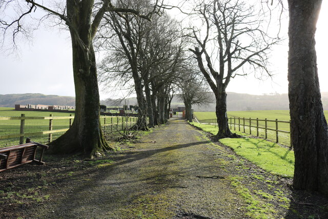
Horseshoe Wood is a serene forest located in Ayrshire, Scotland. Covering an area of approximately 50 acres, this enchanting woodland is nestled in the picturesque countryside, offering visitors a tranquil escape from the bustle of everyday life.
As its name suggests, Horseshoe Wood is named after the distinctive shape it forms, resembling a horseshoe when viewed from above. This unique feature adds to the charm and allure of the forest, making it a popular destination for nature enthusiasts and hikers alike.
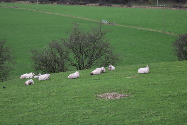
The woodland is predominantly composed of native broadleaf trees, including oak, birch, and beech, which create a rich and diverse ecosystem. These trees provide a habitat for numerous woodland creatures, such as red squirrels, badgers, and a variety of bird species, making it a haven for wildlife lovers.
A network of well-maintained trails crisscrosses through the wood, allowing visitors to explore its beauty at their own pace. These pathways cater to all levels of fitness and provide access to various points of interest, including a tranquil pond and a small waterfall that adds to the enchantment of the forest.
Horseshoe Wood also boasts a rich cultural history. It is said to be a remnant of the ancient Caledonian Forest, which once spanned across much of Scotland. The forest has witnessed generations of locals who have relied on its resources for timber, fuel, and shelter.
Overall, Horseshoe Wood is a captivating forest that offers a serene and immersive experience in the heart of Ayrshire. With its breathtaking natural beauty and diverse wildlife, it is a must-visit destination for those seeking tranquility and a deeper connection with nature.
If you have any feedback on the listing, please let us know in the comments section below.
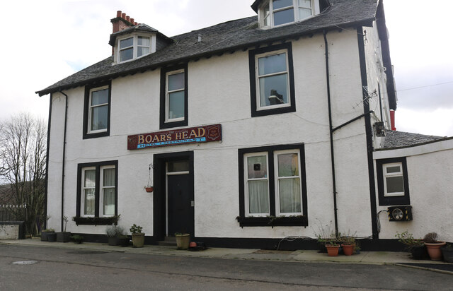
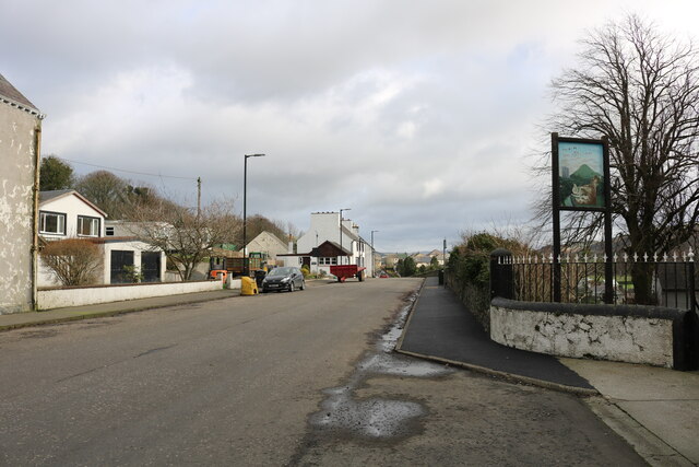
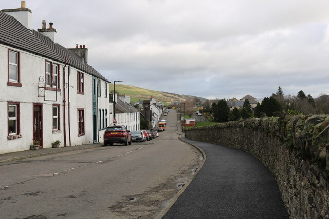
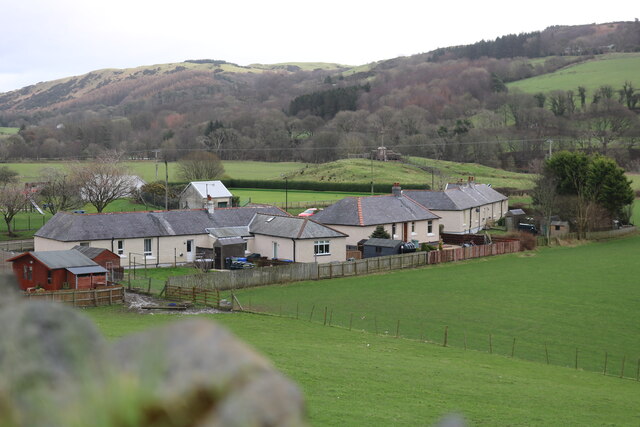
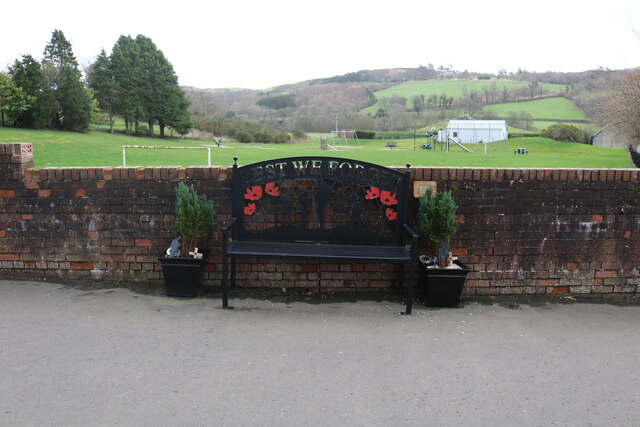
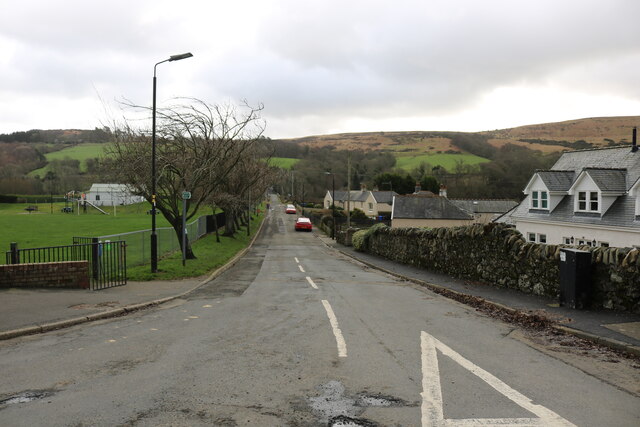
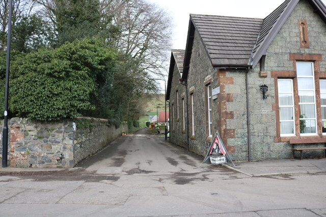
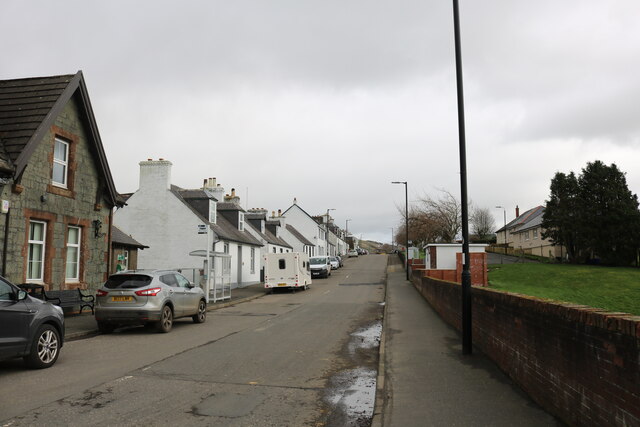
Horseshoe Wood Images
Images are sourced within 2km of 55.131066/-4.8829823 or Grid Reference NX1685. Thanks to Geograph Open Source API. All images are credited.
Horseshoe Wood is located at Grid Ref: NX1685 (Lat: 55.131066, Lng: -4.8829823)
Unitary Authority: South Ayrshire
Police Authority: Ayrshire
What 3 Words
///screamed.grumbling.driven. Near Girvan, South Ayrshire
Nearby Locations
Related Wikis

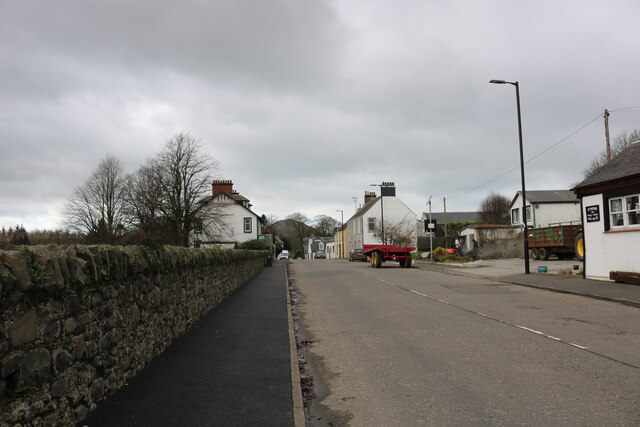
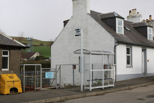
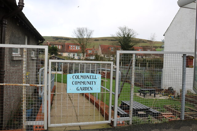
Colmonell
Colmonell (Scottish Gaelic: Cill Cholmain Eala) (meaning the church of St. Colman of Lainn Eala - in Lynally, County Offaly, Ireland) is a small village...

Pinwherry railway station
Pinwherry railway station served the village of Pinwherry, South Ayrshire, Scotland from 1887 to 1965 on the Girvan and Portpatrick Junction Railway....

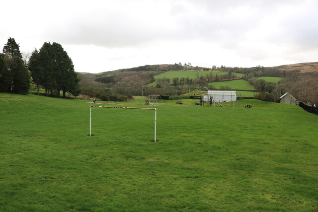
Pinwherry
Pinwherry is a hamlet in the civil parish of Colmonell, in the council area of South Ayrshire, Scotland. It is 8 miles south of Girvan. In 1961 it had...

Heronsford
Heronsford is a village located in South Ayrshire, South-West Scotland. == About == Heronsford is a hamlet located near Ballantrae that sits along the...
Nearby Amenities
Located within 500m of 55.131066,-4.8829823Have you been to Horseshoe Wood?
Leave your review of Horseshoe Wood below (or comments, questions and feedback).