Coille Bheag
Wood, Forest in Argyllshire
Scotland
Coille Bheag
The requested URL returned error: 429 Too Many Requests
If you have any feedback on the listing, please let us know in the comments section below.
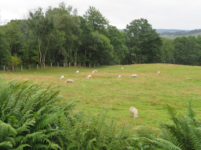
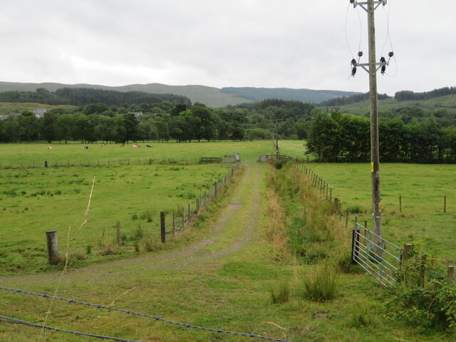
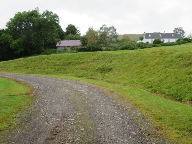
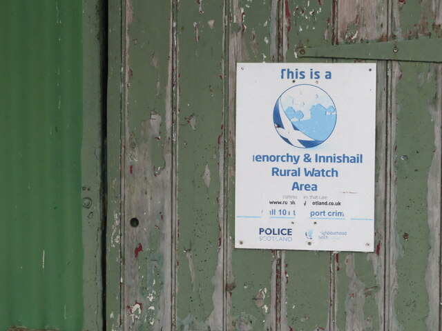
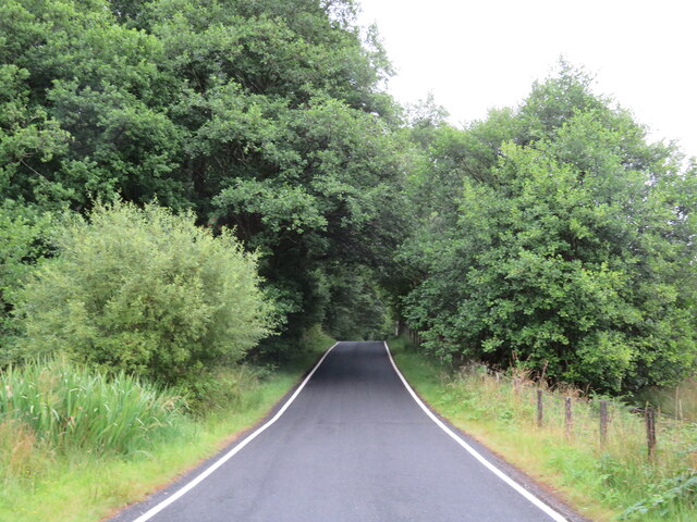
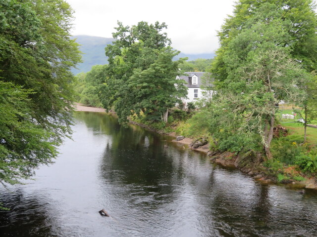
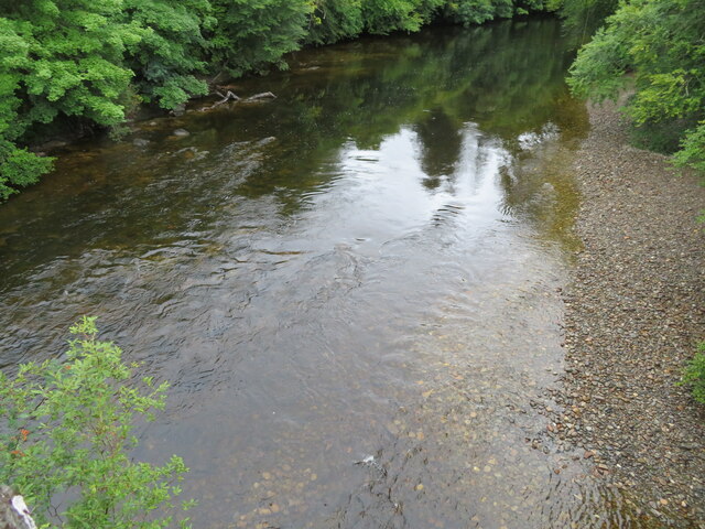
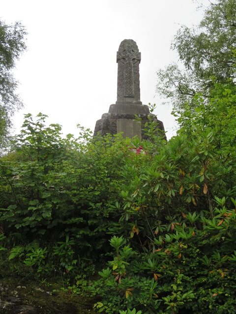
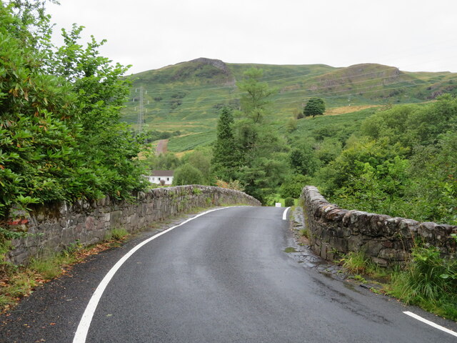
Coille Bheag Images
Images are sourced within 2km of 56.398877/-4.976466 or Grid Reference NN1626. Thanks to Geograph Open Source API. All images are credited.
![Milestone in Strath Orchy D[almal]ly 1; O[ba]N 25; and, on the top, IN[verara]y 16. The next one west is at <a href="https://www.geograph.org.uk/gridref/NN14862657">NN14862657</a>, just visible on StreetView, and a &#039;7&#039; is just readable on the top.](https://s2.geograph.org.uk/geophotos/06/93/16/6931694_fb5142f9.jpg)


Coille Bheag is located at Grid Ref: NN1626 (Lat: 56.398877, Lng: -4.976466)
Unitary Authority: Argyll and Bute
Police Authority: Argyll and West Dunbartonshire
What 3 Words
///rags.losing.symphonic. Near Tyndrum, Stirling
Nearby Locations
Related Wikis

Dalmally railway station
Dalmally railway station is a railway station serving the village of Dalmally, near Loch Awe in Scotland. This station is on the Oban branch of the West...

Dalmally
Dalmally (Scottish Gaelic: Clachan an Dìseirt or Dail Mhàilidh) is a village in Argyll and Bute, Scotland. It is near the A85 road and is served by Dalmally...
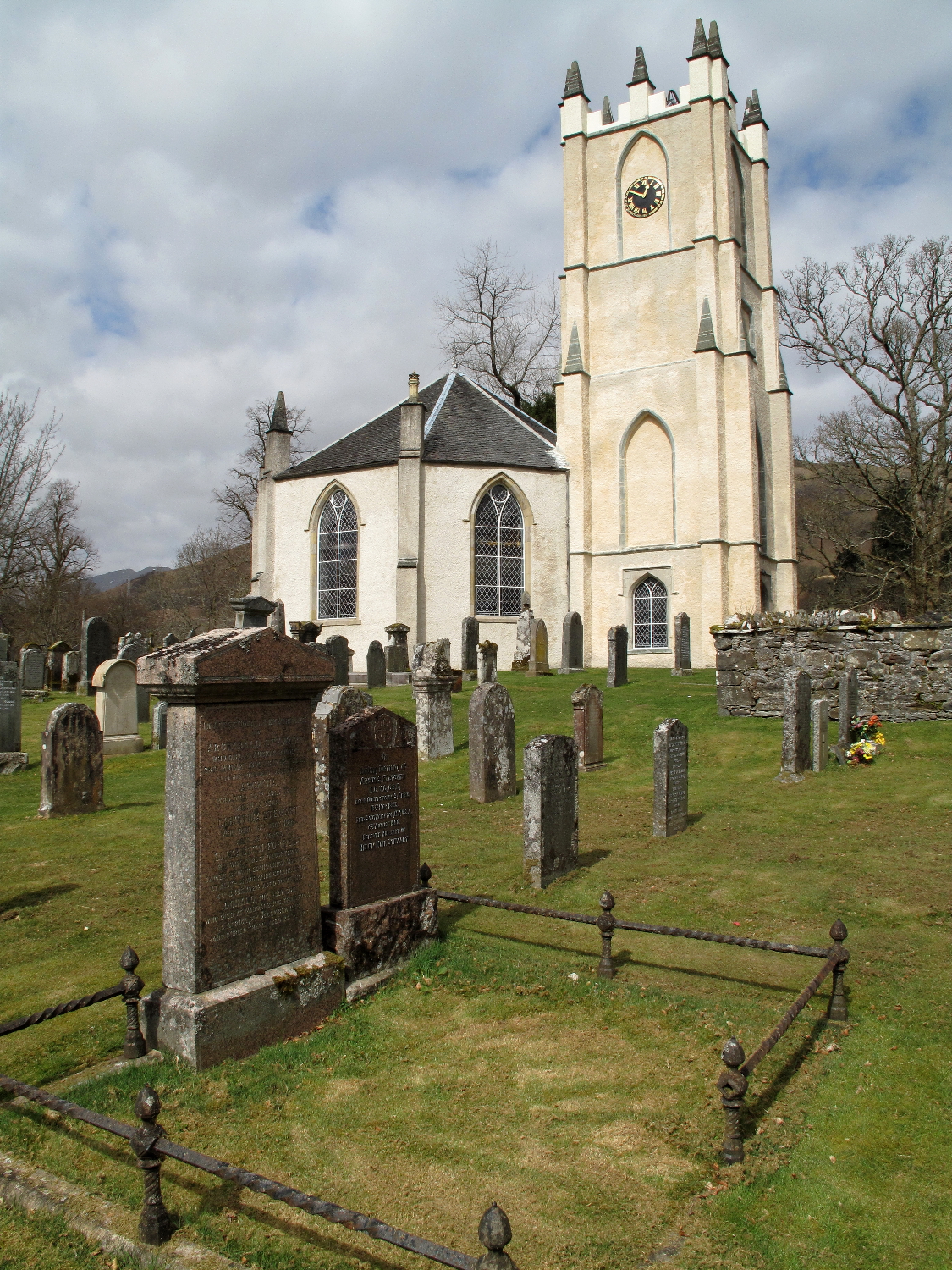
Glenorchy Parish Church
Glenorchy Parish Church is a congregation of the Church of Scotland in the village of Dalmally, Argyll and Bute, Scotland. It is the parish church of the...

Craig Lodge Community
Craig Lodge Community is a lay community of the Roman Catholic Church based in Dalmally, Argyll in the west Highlands of Scotland. == History == Craig...
Nearby Amenities
Located within 500m of 56.398877,-4.976466Have you been to Coille Bheag?
Leave your review of Coille Bheag below (or comments, questions and feedback).