Toll Plantation
Wood, Forest in Wigtownshire
Scotland
Toll Plantation
Toll Plantation is a picturesque woodland located in Wigtownshire, a historic county in southwestern Scotland. This enchanting forest covers an area of approximately 200 acres, creating a lush and peaceful retreat for nature lovers and outdoor enthusiasts alike.
The woodland of Toll Plantation is primarily composed of a diverse range of tree species, including oak, beech, birch, and pine. The dense canopy created by these towering trees provides a cool and shaded environment, perfect for a leisurely stroll or a refreshing hike.
The plantation is home to a rich array of flora and fauna, with various wildflowers, ferns, and mosses carpeting the forest floor. Countless species of birds, such as woodpeckers and owls, can be spotted and heard throughout the woodland, adding to the tranquil ambiance.
A network of well-maintained trails crisscrosses the plantation, allowing visitors to explore its beauty at their own pace. These paths offer stunning views of the surrounding countryside, including rolling hills and distant mountain ranges.
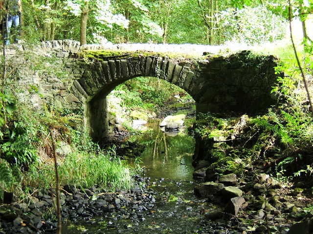
Toll Plantation also boasts a picturesque stream that meanders through the forest, providing a soothing soundtrack and an ideal spot for a peaceful picnic or a moment of quiet reflection.
The woodland is open to the public year-round, and admission is free. It is a popular destination for locals and tourists alike, attracting nature enthusiasts, families, and photographers who come to capture the beauty of this idyllic forest.
In summary, Toll Plantation is a captivating woodland in Wigtownshire, offering a serene and enchanting escape into nature. With its diverse flora and fauna, well-maintained trails, and stunning scenery, it is a must-visit destination for those seeking tranquility and natural beauty.
If you have any feedback on the listing, please let us know in the comments section below.
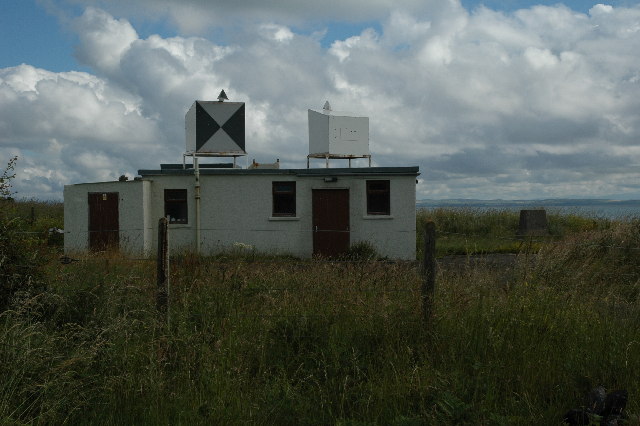
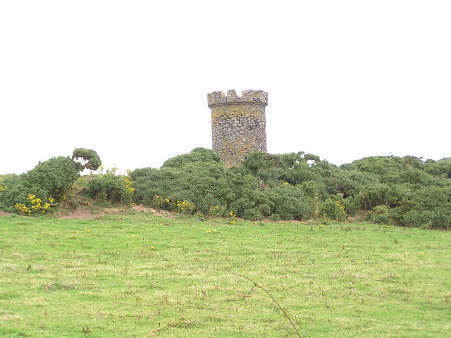
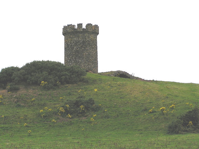
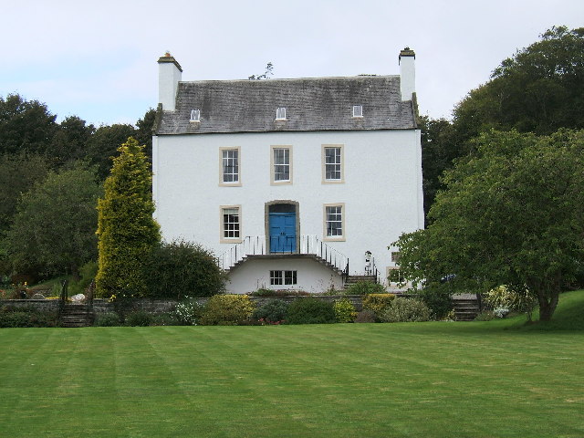
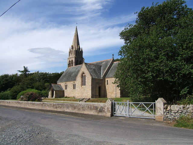
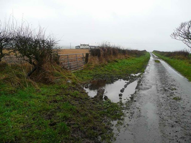
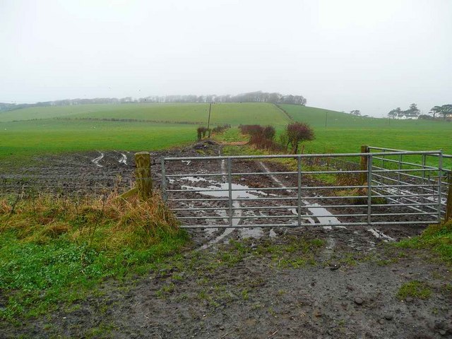
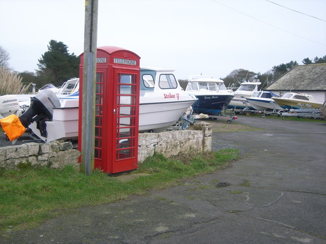
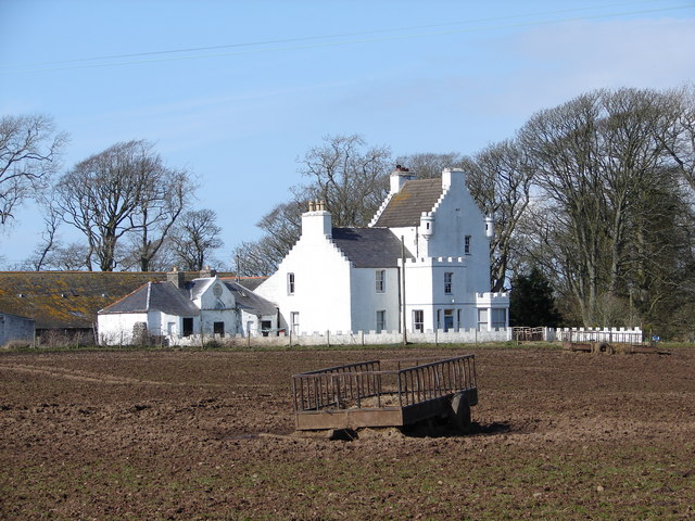
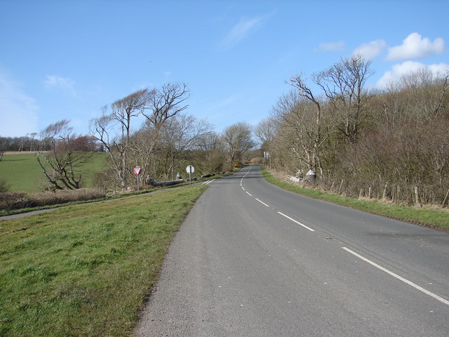
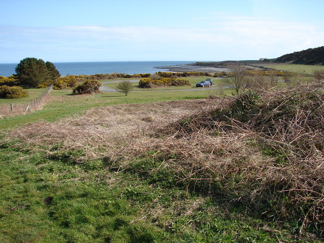
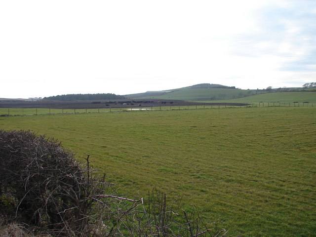
Toll Plantation Images
Images are sourced within 2km of 54.751732/-4.9411984 or Grid Reference NX1043. Thanks to Geograph Open Source API. All images are credited.

Toll Plantation is located at Grid Ref: NX1043 (Lat: 54.751732, Lng: -4.9411984)
Unitary Authority: Dumfries and Galloway
Police Authority: Dumfries and Galloway
What 3 Words
///mango.rival.upgrading. Near Drummore, Dumfries & Galloway
Nearby Locations
Related Wikis

Logan Botanic Garden
Logan Botanic Garden is a botanical garden near Port Logan on the Rhins of Galloway, at the south-western tip of Scotland. The Botanic Garden was established...

Ardwell
Ardwell (from Gaelic Àrd Bhaile meaning "high town", pronounced as "Ardwell") is a village in the Scottish unitary council area of Dumfries and Galloway...

Port Logan
Port Logan, formerly Port Nessock, is a small village in the parish of Kirkmaiden in the Rhins of Galloway in Wigtownshire. The Gaelic name is Port Neasaig...

Clachanmore
Clachanmore is a village in the South Rhins of Galloway near Ardwell in the south west of Scotland. It has also been known as Low Ardwell.The name of the...

Doon Castle Broch
Doon Castle Broch is an iron-age broch located in Dumfries and Galloway, Scotland (grid reference NX 06702 44683). == Location == The Broch is located...
Sandhead
Sandhead is a small village in Dumfries and Galloway, south west Scotland. It overlooks Luce Bay, 7 miles south of Stranraer. The old main road, named...
Kirkmaiden
Kirkmaiden is a parish in the Rhins of Galloway, the most southerly in Scotland; the present Church of Scotland parish has the same name as and is approximately...
Kirkmaiden (village)
Kirkmaiden (sometimes Maidenkirk; Scottish Gaelic: Cill M'Eudan) is a small settlement in Galloway, Scotland, located approximately 17 miles (27 km) south...
Nearby Amenities
Located within 500m of 54.751732,-4.9411984Have you been to Toll Plantation?
Leave your review of Toll Plantation below (or comments, questions and feedback).