Logan Loch

Lake, Pool, Pond, Freshwater Marsh in Wigtownshire

Scotland

Logan Loch

Logan Windmill This is all that is left of the windmill that was built shortly before 1684 by Patrick McDouall to lessen his estate's dependence on the nearby watermill which in summer was liable to failure.
Logan Windmill Credit: Patrick Lee

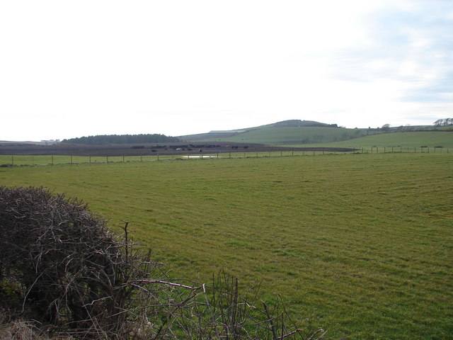
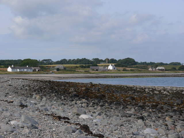
Logan Loch is a picturesque freshwater body located in Wigtownshire, Scotland. Spanning an area of approximately 70 acres, it is nestled amidst rolling hills and lush greenery, making it a haven for nature enthusiasts and wildlife alike.

The loch is characterized by its calm and serene waters, which are fed by a network of small streams and springs. Surrounded by a variety of vegetation, including reeds, rushes, and water lilies, Logan Loch is a thriving ecosystem that supports a diverse range of flora and fauna.

The loch is home to several species of fish, such as perch, pike, and roach, attracting avid anglers from near and far. It also serves as a vital habitat for numerous water birds, including swans, ducks, and herons, which can often be spotted gracefully gliding across its surface or nesting in the surrounding vegetation.

A designated nature reserve, Logan Loch offers numerous walking trails and observation points for visitors to explore and experience the rich biodiversity of the area. The loch is also a popular spot for boating and kayaking, providing a tranquil setting for outdoor enthusiasts to enjoy recreational activities.

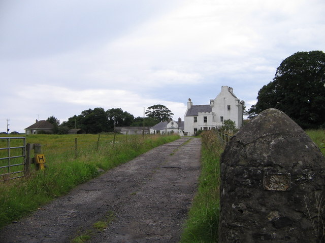
Additionally, the loch is surrounded by the charming village of Logan, which offers various amenities for visitors, including cafes, shops, and accommodations. The nearby Logan Botanic Garden is also a popular attraction, showcasing a wide array of exotic plants and flowers.

In summary, Logan Loch is a stunning freshwater body in Wigtownshire, Scotland, boasting a diverse ecosystem, abundant wildlife, and a peaceful atmosphere that attracts nature lovers and outdoor enthusiasts from far and wide.

If you have any feedback on the listing, please let us know in the comments section below.
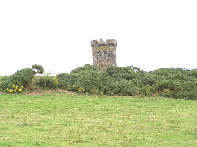
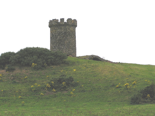
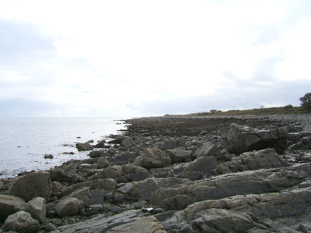
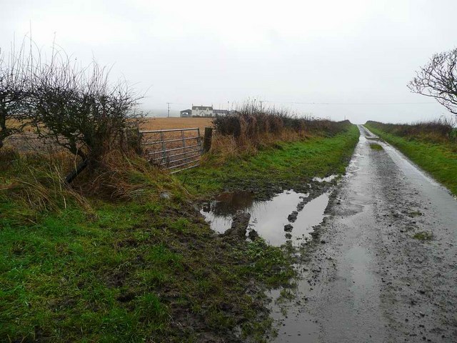
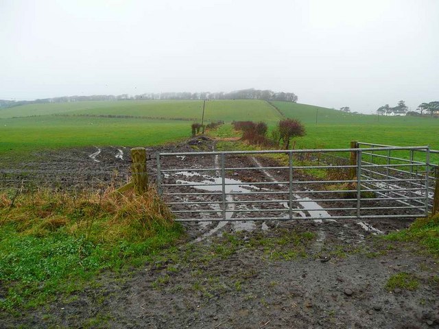
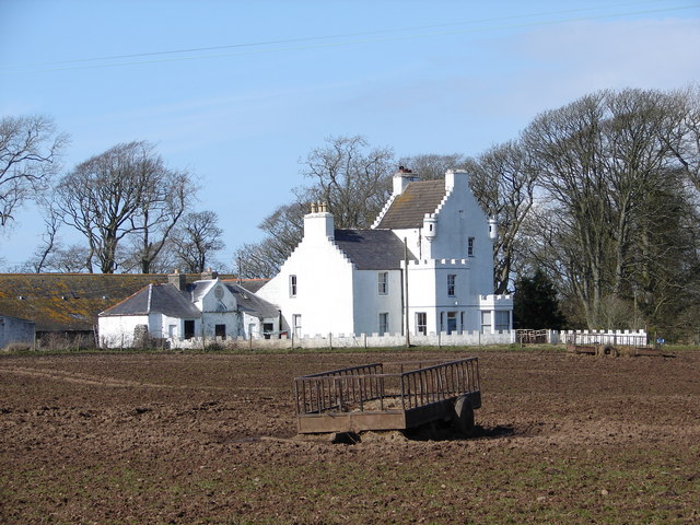
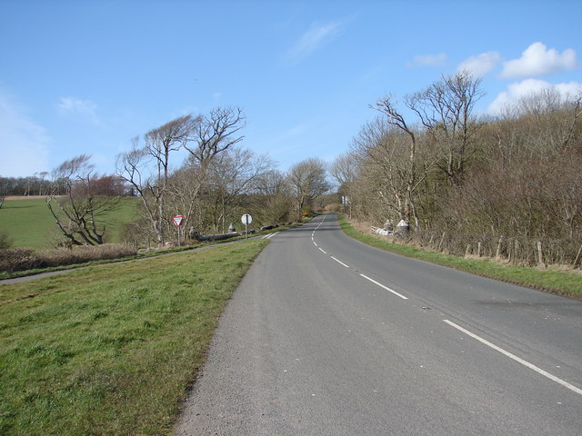
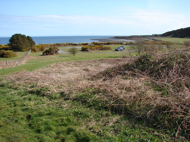
Logan Loch Images

Images are sourced within 2km of 54.747624/-4.949293 or Grid Reference NX1043. Thanks to Geograph Open Source API. All images are credited.

Logan Windmill This is all that is left of the windmill that was built shortly before 1684 by Patrick McDouall to lessen his estate's dependence on the nearby watermill which in summer was liable to failure.
Logan Windmill
This is all that is left of the windmill that was built shortly before 1684 by Patrick McDouall to lessen his estate's dependence on the nearby watermill which in summer was liable to failure.
Logan Windmill 2 Another view of Logan Windmill showing the curious vaulted structure at its base
Logan Windmill 2
Another view of Logan Windmill showing the curious vaulted structure at its base
The rocky shore between Longrigg and Logan Mill Photograph taken around the point from Longrigg near Ardwell.
The rocky shore between Longrigg and Logan Mill
Photograph taken around the point from Longrigg near Ardwell.
Logan Botanic Gardens Entrance of the B7065
Logan Botanic Gardens
Entrance of the B7065
Muddy road in the Rhinns West Myroch farm in the distance.
Muddy road in the Rhinns
West Myroch farm in the distance.
Disused track The twin hedges indicate where this mapped track went, but it's clearly not used much now.
Disused track
The twin hedges indicate where this mapped track went, but it's clearly not used much now.
Auchness Tower, Ardwell The 16 century altered 3-storey tower was formerly known as Auchness Castle; it now forms part of a modern farmhouse. <span class="nowrap"><a title="http://canmore.org.uk/site/61124/auchness-farmhouse" rel="nofollow ugc noopener" href="http://canmore.org.uk/site/61124/auchness-farmhouse">Link</a><img style="margin-left:2px;" alt="External link" title="External link - shift click to open in new window" src="https://s1.geograph.org.uk/img/external.png" width="10" height="10"/></span>
Auchness Tower, Ardwell
The 16 century altered 3-storey tower was formerly known as Auchness Castle; it now forms part of a modern farmhouse. LinkExternal link
Balkelzie Bridge, Logan Toll Junction of the A716 and B7065 at Balkelzie Bridge.
Balkelzie Bridge, Logan Toll
Junction of the A716 and B7065 at Balkelzie Bridge.
New England Bay Picnic Area A picnic area set back from New England Bay just off the A716 on the east side of The Rhins.
New England Bay Picnic Area
A picnic area set back from New England Bay just off the A716 on the east side of The Rhins.
Auchabreck, South Rhins View from West Myroch northwest across the cattle crazing fields of Auchabreck.
Auchabreck, South Rhins
View from West Myroch northwest across the cattle crazing fields of Auchabreck.
Auchness farm and tower
Balgowan View along this rocky shoreline with little or no sandy beach to see. Centre of picture on the horizon is Logan Mills, the remains of Logan Windmill, Balgowan Cottage and Portacree Beach which has a slipway. This section of beach within this grid square is only about 150 yards in length and was reached on foot from New England Bay past Balgowan Point finishing (for me) at Logan Mills.
Balgowan
View along this rocky shoreline with little or no sandy beach to see. Centre of picture on the horizon is Logan Mills, the remains of Logan Windmill, Balgowan Cottage and Portacree Beach which has a slipway. This section of beach within this grid square is only about 150 yards in length and was reached on foot from New England Bay past Balgowan Point finishing (for me) at Logan Mills.
Balgowan View along this rocky shoreline in the direction of Balgowan Point. The large 'blob' of rock on the horizon is the Big Scare which I discovered can be visited by boat because it's outside the RAF bombing range. Assuming fair weather and accurate bombing I should be just fine when I try and bag this grid.
Balgowan
View along this rocky shoreline in the direction of Balgowan Point. The large 'blob' of rock on the horizon is the Big Scare which I discovered can be visited by boat because it's outside the RAF bombing range. Assuming fair weather and accurate bombing I should be just fine when I try and bag this grid.
Balgowan View along this rocky shoreline towards Portacree Beach and Balgowan Cottage.
Balgowan
View along this rocky shoreline towards Portacree Beach and Balgowan Cottage.
Drum Hill View along the A716 in the direction of Drummore.
Drum Hill
View along the A716 in the direction of Drummore.
New England Bay View of the A716 as it runs down to Drummore. The road right runs down to Port Logan and the track off left goes down past the picnic area to the caravan site at New England Bay.
New England Bay
View of the A716 as it runs down to Drummore. The road right runs down to Port Logan and the track off left goes down past the picnic area to the caravan site at New England Bay.
New England Bay View along the A716 direction of Stranraer.
New England Bay
View along the A716 direction of Stranraer.
Port Logan This small road runs down to Port Logan and as the sign says, you'll find the inn which is on the front and served food the last time I visited. It's a quiet road and can be easily walked there and back.
Port Logan
This small road runs down to Port Logan and as the sign says, you'll find the inn which is on the front and served food the last time I visited. It's a quiet road and can be easily walked there and back.
Show me another place!

Logan Loch is located at Grid Ref: NX1043 (Lat: 54.747624, Lng: -4.949293)

Unitary Authority: Dumfries and Galloway

Police Authority: Dumfries and Galloway

What 3 Words

///pavilions.sticky.bars. Near Drummore, Dumfries & Galloway

Related Wikis

Logan Botanic Garden

Logan Botanic Garden is a botanical garden near Port Logan on the Rhins of Galloway, at the south-western tip of Scotland. The Botanic Garden was established...

Ardwell

Ardwell (from Gaelic Àrd Bhaile meaning "high town", pronounced as "Ardwell") is a village in the Scottish unitary council area of Dumfries and Galloway...

Port Logan

Port Logan, formerly Port Nessock, is a small village in the parish of Kirkmaiden in the Rhins of Galloway in Wigtownshire. The Gaelic name is Port Neasaig...

Doon Castle Broch

Doon Castle Broch is an iron-age broch located in Dumfries and Galloway, Scotland (grid reference NX 06702 44683). == Location == The Broch is located...

Clachanmore

Clachanmore is a village in the South Rhins of Galloway near Ardwell in the south west of Scotland. It has also been known as Low Ardwell.The name of the...

Sandhead

Sandhead is a small village in Dumfries and Galloway, south west Scotland. It overlooks Luce Bay, 7 miles south of Stranraer. The old main road, named...

Kirkmaiden

Kirkmaiden is a parish in the Rhins of Galloway, the most southerly in Scotland; the present Church of Scotland parish has the same name as and is approximately...

Kirkmaiden (village)

Kirkmaiden (sometimes Maidenkirk; Scottish Gaelic: Cill M'Eudan) is a small settlement in Galloway, Scotland, located approximately 17 miles (27 km) south...

Nearby Amenities

Located within 500m of 54.747624,-4.949293
The data included in this document is from www.openstreetmap.org. The data is made available under ODbL.

Have you been to Logan Loch?

Leave your review of Logan Loch below (or comments, questions and feedback).