Goatsford Wood
Wood, Forest in Argyllshire
Scotland
Goatsford Wood

Goatsford Wood is a picturesque woodland located in Argyllshire, Scotland. Spanning over a vast area, this enchanting forest is a haven for nature enthusiasts and those seeking tranquility amidst the breathtaking Scottish landscape.
The wood is known for its diverse range of flora and fauna, providing a rich habitat for a variety of species. The dense canopy of towering trees, including oak, beech, and birch, creates a cool and shaded environment, perfect for a leisurely stroll or a peaceful picnic. The forest floor is carpeted with a vibrant array of wildflowers, enhancing the natural beauty of the surroundings.
A network of well-maintained trails weaves through the wood, offering visitors the opportunity to explore its hidden treasures. These paths cater to all abilities, from gentle walks suitable for families to more challenging hikes for the avid adventurer. Along the way, one may come across babbling brooks, cascading waterfalls, and charming wooden bridges, adding to the idyllic atmosphere of the woodland.
The woods are home to a variety of wildlife, including red squirrels, owls, and deer. Birdwatchers will be delighted by the presence of numerous species, such as woodpeckers, song thrushes, and goldcrests. Keen-eyed visitors may even spot elusive otters and pine martens, adding an element of excitement to any visit.
Goatsford Wood is a true gem in the Argyllshire region, offering visitors a chance to reconnect with nature and experience the untouched beauty of Scotland's woodlands.
If you have any feedback on the listing, please let us know in the comments section below.
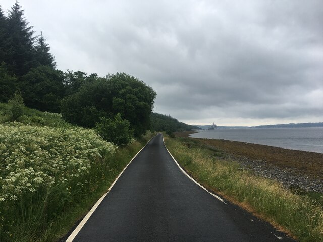
Goatsford Wood Images
Images are sourced within 2km of 55.901623/-5.0275895 or Grid Reference NS1071. Thanks to Geograph Open Source API. All images are credited.


Goatsford Wood is located at Grid Ref: NS1071 (Lat: 55.901623, Lng: -5.0275895)
Unitary Authority: Argyll and Bute
Police Authority: Argyll and West Dunbartonshire
What 3 Words
///collapsed.cheater.scrolled. Near Port Bannatyne, Argyll & Bute
Nearby Locations
Related Wikis
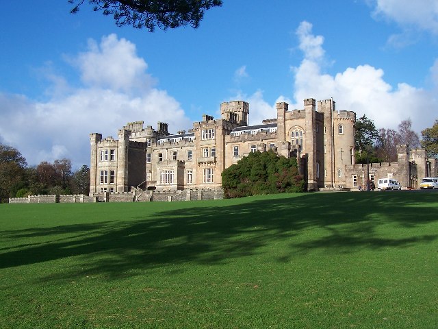
Castle Toward
Castle Toward (Scottish Gaelic: Caisteal an Toll Àird) is a nineteenth-century country house in Argyll and Bute, Scotland. Built in 1820 by Glasgow merchant...

Inverchaolain Church
Inverchaolain Church is a former Church of Scotland church building in Inverchaolain, Argyll and Bute, Scotland. Located on the eastern shores of Loch...
Inverchaolain
Inverchaolain is a hamlet on the Cowal peninsula, Argyll and Bute, Scotland. It lies on the east shore of Loch Striven, to the south of Glenstriven and...

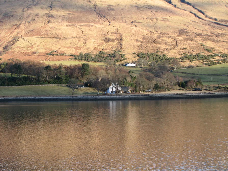
Loch Striven
Loch Striven (Scottish Gaelic: Loch Sroigheann) is a sea loch extending off the Firth of Clyde, and forms part of the Cowal peninsula coast, in Argyll...
Have you been to Goatsford Wood?
Leave your review of Goatsford Wood below (or comments, questions and feedback).