Douglas Wood
Wood, Forest in Wigtownshire
Scotland
Douglas Wood
![Deciduous woodland, near Castle Kennedy At a lay-by on the A75 [Old Military Road], with emergency phone 1359 E, and accompanying lay-by litter. Just east of the village.](https://s1.geograph.org.uk/geophotos/07/41/86/7418665_50d08fce.jpg)
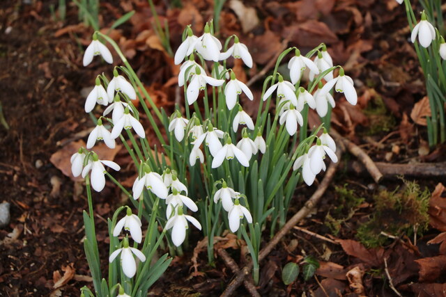
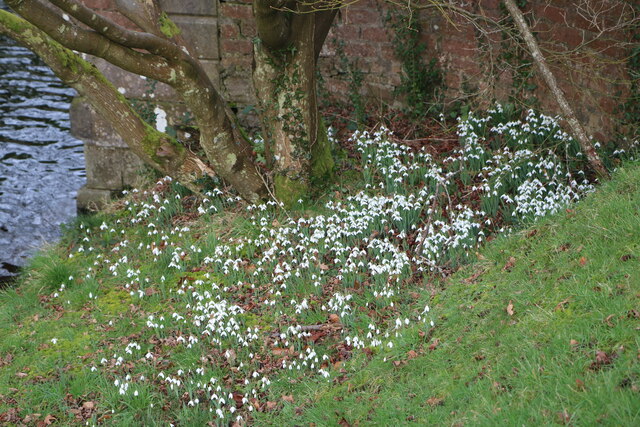
Douglas Wood is a small forest located in Wigtownshire, Scotland. It covers an area of approximately 200 acres and is known for its natural beauty and diverse flora and fauna.
The woodland is predominantly made up of native tree species such as oak, ash, birch, and beech. These towering trees create a dense canopy that provides shade and shelter for a variety of wildlife. Douglas Wood is home to a wide range of bird species including woodpeckers, owls, and various songbirds, making it a popular spot for birdwatchers.
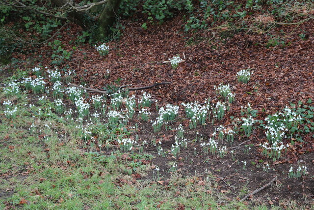
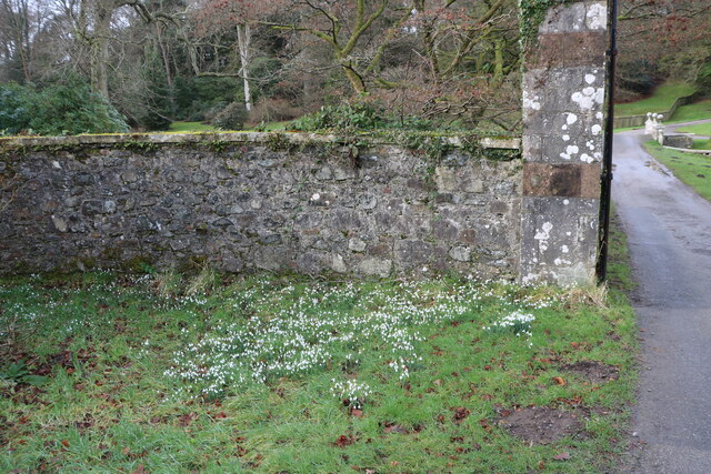
The forest floor is covered in a thick carpet of moss and ferns, creating a lush and vibrant undergrowth. Visitors can also spot wildflowers, such as bluebells and primroses, during the spring and summer months.
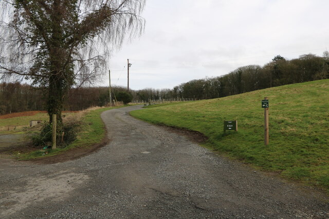
Numerous walking trails wind through the wood, allowing visitors to explore the area and enjoy the peaceful surroundings. The trails vary in difficulty, catering to both casual strollers and more adventurous hikers. Along the way, there are several viewpoints that offer stunning vistas of the surrounding countryside.
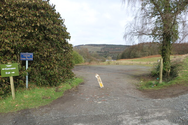
Douglas Wood is managed by the local forestry commission, ensuring that it is well-maintained and accessible to the public. The forest is open year-round, and admission is free. It is a popular destination for nature lovers, families, and outdoor enthusiasts seeking a tranquil escape from the hustle and bustle of everyday life.
If you have any feedback on the listing, please let us know in the comments section below.
Douglas Wood Images
Images are sourced within 2km of 54.899437/-4.9540848 or Grid Reference NX1060. Thanks to Geograph Open Source API. All images are credited.


Douglas Wood is located at Grid Ref: NX1060 (Lat: 54.899437, Lng: -4.9540848)
Unitary Authority: Dumfries and Galloway
Police Authority: Dumfries and Galloway
What 3 Words
///puddings.storms.snug. Near Stranraer, Dumfries & Galloway
Nearby Locations
Related Wikis
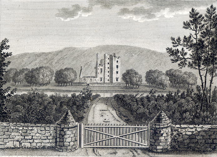
Castle Kennedy
Castle Kennedy is a small village 3 miles (4.8 km) east of Stranraer in Dumfries and Galloway, south-west Scotland. It is on the A75 road, and is within...

Castle Kennedy railway station
Castle Kennedy railway station served the village of Castle Kennedy, Dumfries and Galloway, Scotland from 1861 to 1965 on the Portpatrick and Wigtownshire...

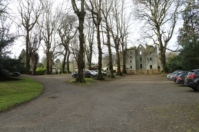
Castle Kennedy (castle)
Castle Kennedy is a ruined 17th-century tower house, about 3 miles (4.8 km) east of Stranraer, Dumfries and Galloway, Scotland, around 0.5 miles (0.80...

Aird, Dumfries and Galloway
Aird (Gaelic:An Àird) is a village in Dumfries and Galloway, in the southwest of Scotland. It is 2.5 miles (4.0 km) east of Stranraer and 1 mile (1.6 km...
RAF Castle Kennedy
Royal Air Force Castle Kennedy, or more simply RAF Castle Kennedy, is a former Royal Air Force satellite station located in Castle Kennedy, Dumfries and...

Soulseat Abbey
Saulseat or Soulseat Abbey was a Premonstratensian monastic community located in Wigtownshire, Galloway, in the Gaelic-speaking south-west of Scotland...

Stair Park
Stair Park is a public park and football stadium in the town of Stranraer, Scotland and is the home of Stranraer F.C. It is owned by Dumfries and Galloway...

Stranraer Town railway station
Stranraer Town railway station, located in Wigtownshire, Scotland, served the town of Stranraer and was a station on the Portpatrick and Wigtownshire Joint...
Nearby Amenities
Located within 500m of 54.899437,-4.9540848Have you been to Douglas Wood?
Leave your review of Douglas Wood below (or comments, questions and feedback).