Macgill Wood
Wood, Forest in Wigtownshire
Scotland
Macgill Wood
Macgill Wood is a picturesque forest located in Wigtownshire, Scotland. Situated in the southwest region of the country, this woodland area spans over a vast expanse of approximately 200 acres. The forest is known for its natural beauty and tranquility, making it a popular destination for nature enthusiasts and hikers alike.
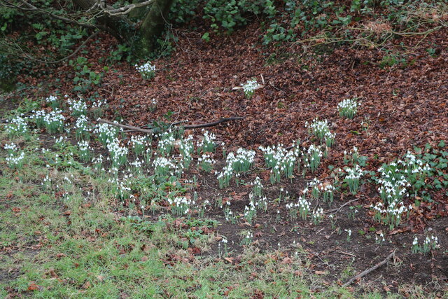
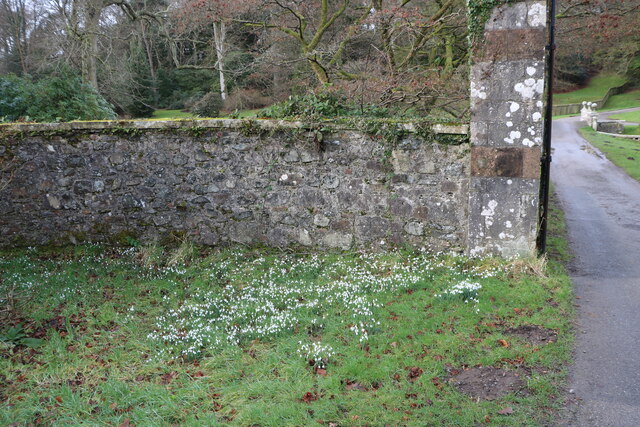
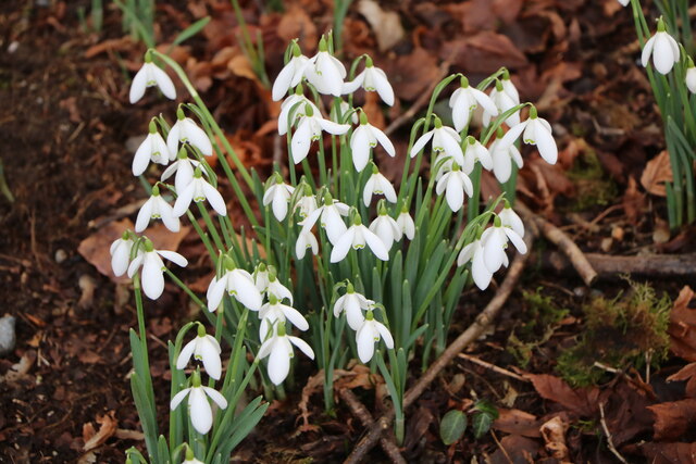
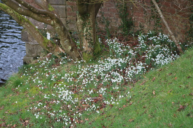
The wood is predominantly composed of native Scottish tree species, including oak, birch, and rowan. These trees create a dense canopy that provides shade and shelter for a diverse range of flora and fauna. Visitors to Macgill Wood can expect to encounter a variety of wildflowers, mosses, and ferns, adding to the enchanting atmosphere of the forest.
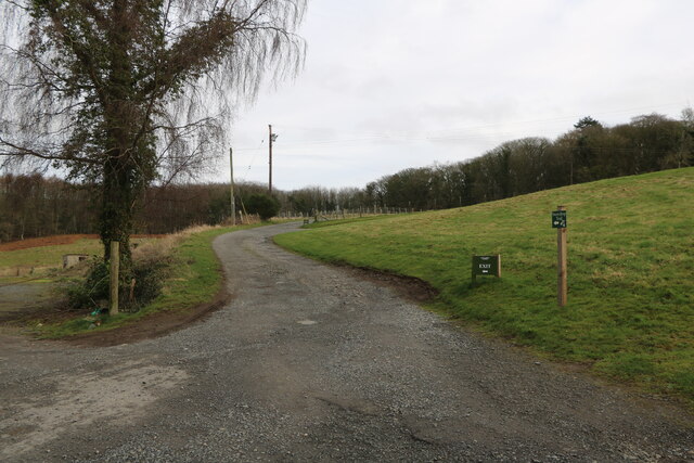
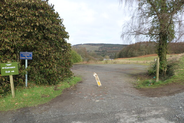
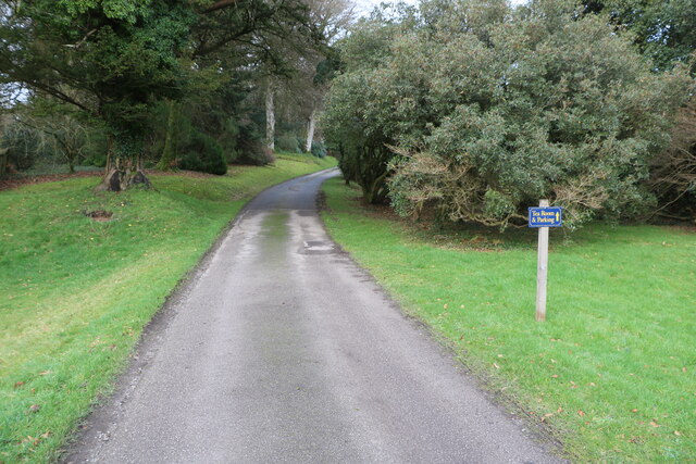
The woodland is intersected by several well-maintained trails, making it easily accessible for walkers and cyclists. These paths wind through the forest, offering stunning views of the surrounding landscape and providing opportunities to spot wildlife such as red squirrels, deer, and a variety of bird species.
Macgill Wood also has a rich history, with evidence of human habitation dating back thousands of years. Archaeological sites within the forest include ancient settlements, burial mounds, and stone circles. These remnants serve as a reminder of the area's significance and add a sense of mystery to the overall experience of exploring the wood.
Overall, Macgill Wood is a natural treasure in Wigtownshire, offering visitors a chance to immerse themselves in the beauty of the Scottish wilderness while also appreciating the historical and ecological importance of this enchanting forest.
If you have any feedback on the listing, please let us know in the comments section below.
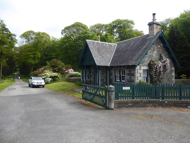
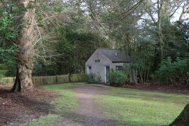
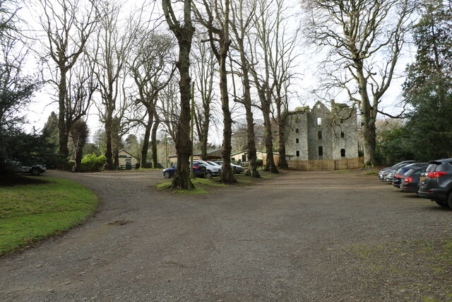
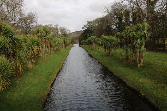
Macgill Wood Images
Images are sourced within 2km of 54.901348/-4.9597788 or Grid Reference NX1060. Thanks to Geograph Open Source API. All images are credited.


Macgill Wood is located at Grid Ref: NX1060 (Lat: 54.901348, Lng: -4.9597788)
Unitary Authority: Dumfries and Galloway
Police Authority: Dumfries and Galloway
What 3 Words
///mute.strumming.king. Near Stranraer, Dumfries & Galloway
Nearby Locations
Related Wikis
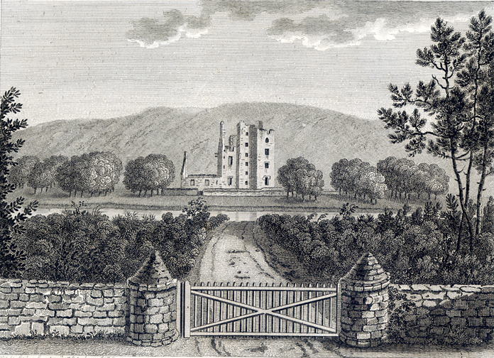
Castle Kennedy
Castle Kennedy is a small village 3 miles (4.8 km) east of Stranraer in Dumfries and Galloway, south-west Scotland. It is on the A75 road, and is within...

Aird, Dumfries and Galloway
Aird (Gaelic:An Àird) is a village in Dumfries and Galloway, in the southwest of Scotland. It is 2.5 miles (4.0 km) east of Stranraer and 1 mile (1.6 km...

Castle Kennedy railway station
Castle Kennedy railway station served the village of Castle Kennedy, Dumfries and Galloway, Scotland from 1861 to 1965 on the Portpatrick and Wigtownshire...

Castle Kennedy (castle)
Castle Kennedy is a ruined 17th-century tower house, about 3 miles (4.8 km) east of Stranraer, Dumfries and Galloway, Scotland, around 0.5 miles (0.80...
Nearby Amenities
Located within 500m of 54.901348,-4.9597788Have you been to Macgill Wood?
Leave your review of Macgill Wood below (or comments, questions and feedback).