Bad Abrach
Wood, Forest in Argyllshire
Scotland
Bad Abrach
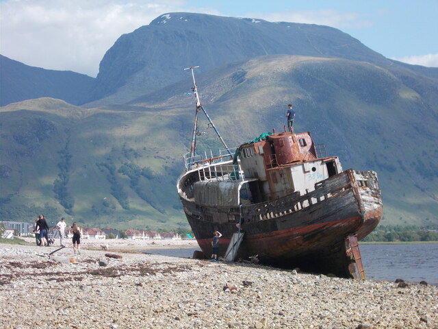
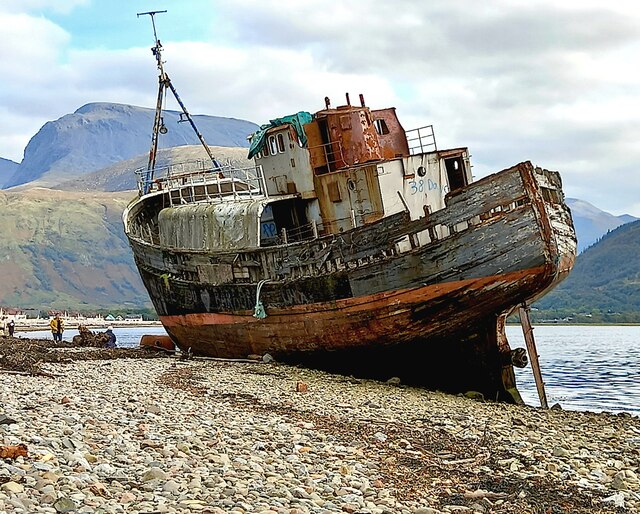
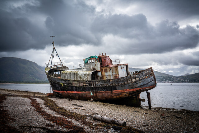
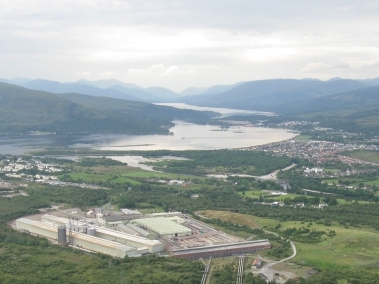
Bad Abrach is a small village located in the region of Argyllshire, Scotland. Nestled amidst the picturesque landscapes of wood and forest, it offers a serene and tranquil environment to its residents and visitors alike. The village is situated in close proximity to the western coast, providing breathtaking views of the nearby mountains and the glistening waters of the Atlantic Ocean.
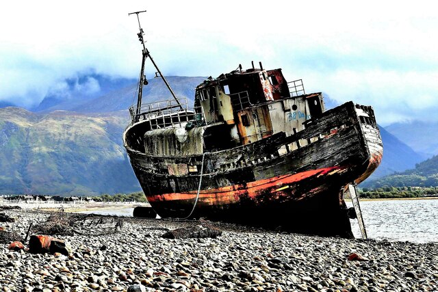
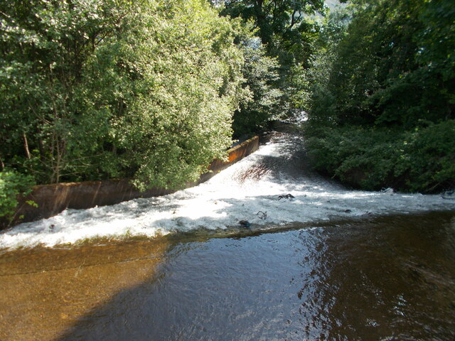
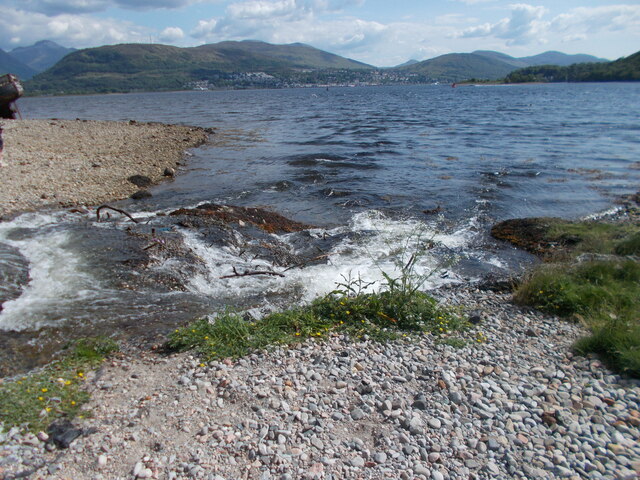
Known for its lush greenery and abundant wildlife, Bad Abrach is a haven for nature enthusiasts and outdoor adventurers. The surrounding wood and forest areas offer ample opportunities for hiking, biking, and exploring the natural beauty of the region. The dense woodlands are home to a variety of native flora and fauna, with sightings of red deer, squirrels, and a plethora of bird species being commonplace.
The village of Bad Abrach itself is characterized by its charming cottages and traditional architecture. The local community is tight-knit and welcoming, with a strong sense of pride in their Scottish heritage. The village has a small but vibrant community center, which serves as a hub for social gatherings and events.
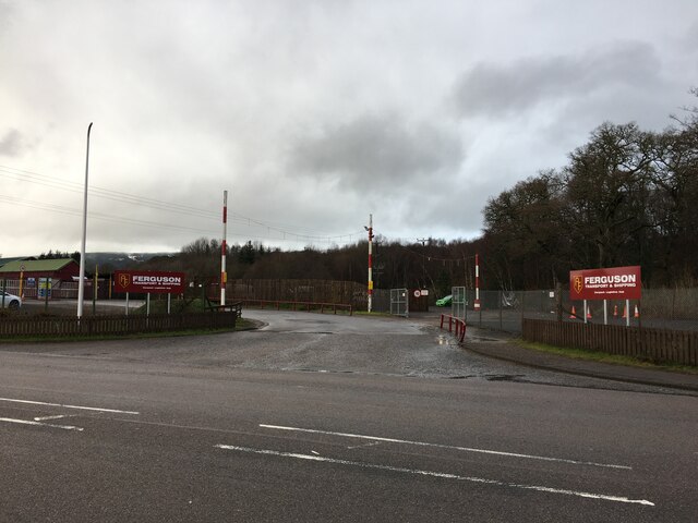
Despite its remote location, Bad Abrach is well-connected to neighboring towns and cities by a network of roads, making it easily accessible for visitors. The village boasts a few local shops and amenities, catering to the basic needs of its residents.
In conclusion, Bad Abrach, Argyllshire, is a tranquil village surrounded by wood and forest, offering a peaceful retreat for nature lovers and a close-knit community for its residents. Its breathtaking landscapes and rich wildlife make it a hidden gem within the beautiful region of Argyllshire.
If you have any feedback on the listing, please let us know in the comments section below.
Bad Abrach Images
Images are sourced within 2km of 56.846241/-5.1122515 or Grid Reference NN1077. Thanks to Geograph Open Source API. All images are credited.


Bad Abrach is located at Grid Ref: NN1077 (Lat: 56.846241, Lng: -5.1122515)
Unitary Authority: Highland
Police Authority: Highlands and Islands
What 3 Words
///tripped.lightens.cookers. Near Fort William, Highland
Nearby Locations
Related Wikis
Battle of Corpach
The Battle of Corpach was a Scottish clan battle in which the Clan Cameron routed the Clan Maclean. It took place around 1470 at Corpach, just north of...
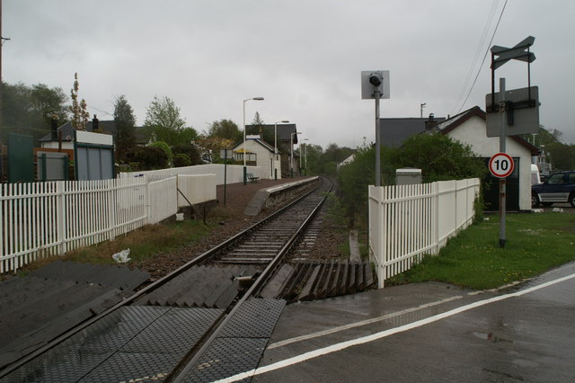
Corpach railway station
Corpach railway station is a railway station serving the village of Corpach in the Highland region of Scotland. This station is on the West Highland Line...
Corpach
Corpach (Scottish Gaelic: A' Chorpaich) is a large village north of Fort William, in the Scottish Highlands. The canal lock at Corpach Basin on Loch Linnhe...

Banavie
Banavie (; Scottish Gaelic: Banbhaidh) is a small settlement near Fort William in the Highland Council Area of Scotland. One of the closest villages to...
Nearby Amenities
Located within 500m of 56.846241,-5.1122515Have you been to Bad Abrach?
Leave your review of Bad Abrach below (or comments, questions and feedback).