Glenbranter Forest

Wood, Forest in Argyllshire

Scotland

Glenbranter Forest

Forestry road near Glenbranter
Forestry road near Glenbranter Credit: Steven Brown

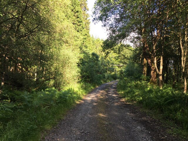
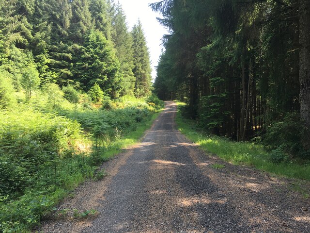
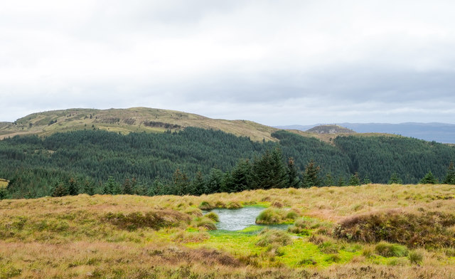
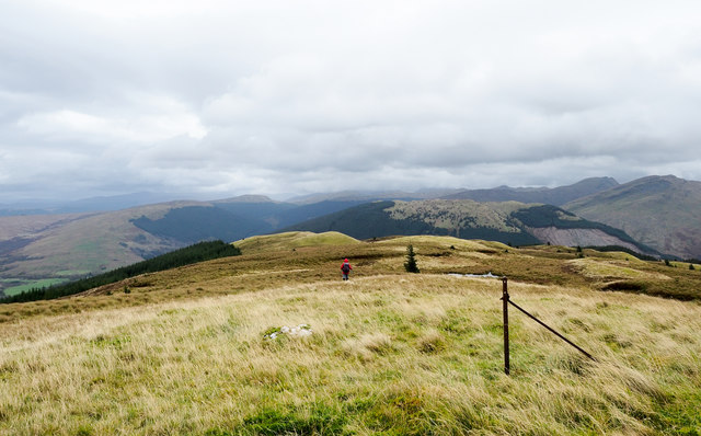
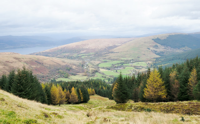
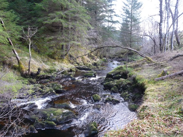
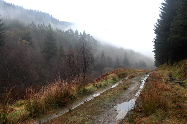
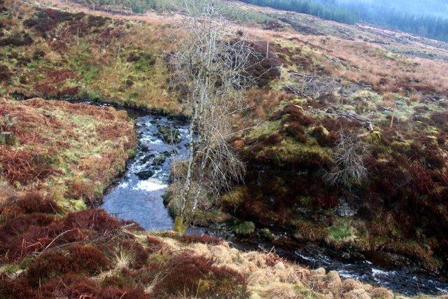
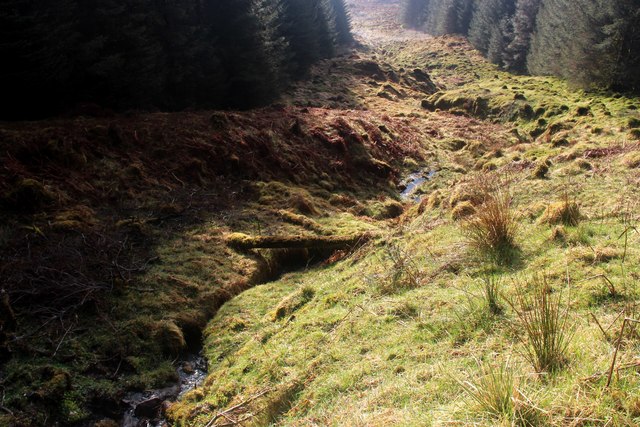
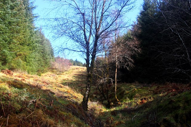
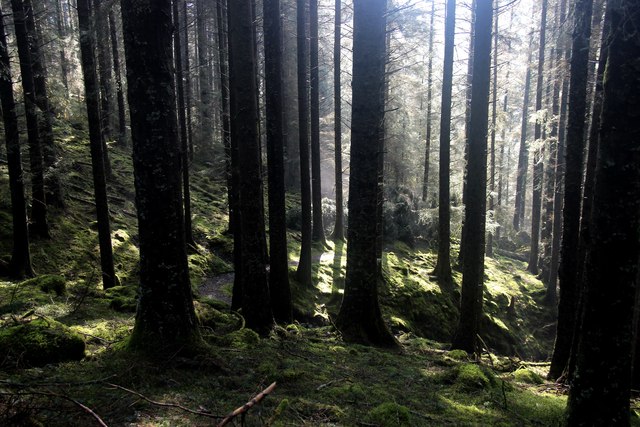
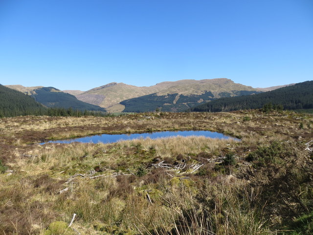
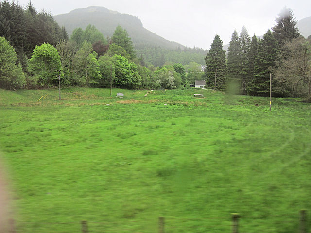
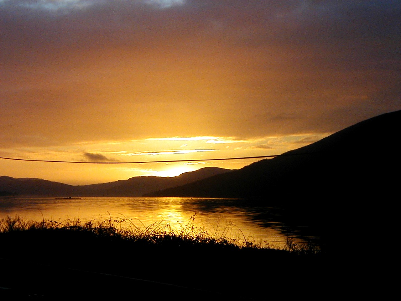
Glenbranter Forest is a picturesque woodland located in Argyllshire, Scotland. Covering an area of approximately 2,500 hectares, the forest is a popular destination for nature lovers and outdoor enthusiasts. The forest is home to a diverse range of flora and fauna, including native Scottish pine trees, birch, oak, and rowan.

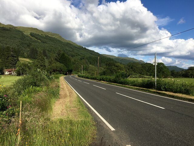
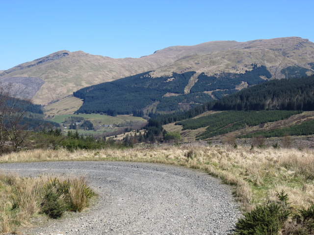
Visitors to Glenbranter Forest can enjoy a variety of activities, including hiking, mountain biking, and birdwatching. There are several well-marked trails that wind through the forest, offering stunning views of the surrounding countryside and the nearby River Massan. The forest is also home to a number of rare plant species, making it a haven for botanists and nature enthusiasts.

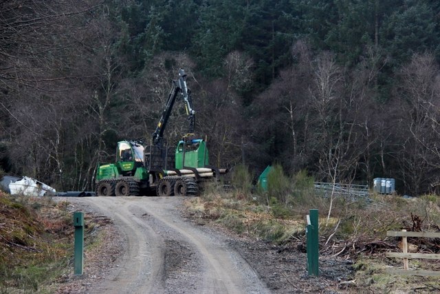
Glenbranter Forest is managed by Forestry and Land Scotland, who work to maintain the forest's natural beauty and biodiversity. The forest is also used for sustainable timber production, with carefully managed harvesting practices ensuring the long-term health of the woodland.

Overall, Glenbranter Forest is a tranquil and beautiful spot for those looking to escape the hustle and bustle of everyday life and immerse themselves in the natural beauty of the Scottish countryside.

If you have any feedback on the listing, please let us know in the comments section below.

Glenbranter Forest Images

Images are sourced within 2km of 56.124367/-5.0485397 or Grid Reference NS1096. Thanks to Geograph Open Source API. All images are credited.

Forestry road near Glenbranter
A815 near Glenbranter
Forestry road, Beinn Lagan
Bog above trees of Gleann Dubh The bog and its surroundings are close to the 462 m. hill top known to some hill-goers as Meall Reamhar, though OS mapping suggests that the name refers to another rise along the same ridge, further to the north-east. The tree-filled Gleann Dubh is beyond the bog: Cruach nan Capull is the obvious hill.
Bog above trees of Gleann Dubh
The bog and its surroundings are close to the 462 m. hill top known to some hill-goers as Meall Reamhar, though OS mapping suggests that the name refers to another rise along the same ridge, further to the north-east. The tree-filled Gleann Dubh is beyond the bog: Cruach nan Capull is the obvious hill.
Meall Reamhar Meall Reamhar is a hill top or series of hill tops along the ridge separating Glen Branter and Gleann Dubh. The camera location is close to a 462 m. knoll, the highest of the sequence of tops, though OS mapping suggests that the name be applied to one of the tops beyond the red-clad hill walker.
Meall Reamhar
Meall Reamhar is a hill top or series of hill tops along the ridge separating Glen Branter and Gleann Dubh. The camera location is close to a 462 m. knoll, the highest of the sequence of tops, though OS mapping suggests that the name be applied to one of the tops beyond the red-clad hill walker.
Valley of Alltan t-Sidhean The stream descends on a slope largely cloaked by coniferous trees but through a gap in that cover. Further down the ridge the stream does enter dense conifer plantings but passage up and down the slope is still easy as there's an alternative gap through the trees to the west of it.
Valley of Alltan t-Sidhean
The stream descends on a slope largely cloaked by coniferous trees but through a gap in that cover. Further down the ridge the stream does enter dense conifer plantings but passage up and down the slope is still easy as there's an alternative gap through the trees to the west of it.
Allt Robuic in Glen Branter This water might be suited to a mini hydro scheme
Allt Robuic in Glen Branter
This water might be suited to a mini hydro scheme
Morning mist in Glenbranter forest
Allt Robuic
Allt Robuic
Run-off from Tom a' Bhioran A gap in the conifers provides a sunny glade
Run-off from Tom a' Bhioran
A gap in the conifers provides a sunny glade
Forest break on the flank of Meall Reamhar
Mature forest below Creag na h-Airigh
Small lochan in an area of clearfell in Glenbranter Forest
Forest track in Glen Branter Part of the Cowal Way
Forest track in Glen Branter
Part of the Cowal Way
Fields towards Invernoaden From A815
Fields towards Invernoaden
From A815
A survivor by Tom a' Chorachasaich
Glenshellish Farm Virtually all of the farm land is under forest
Glenshellish Farm
Virtually all of the farm land is under forest
Heavy machinery working in Glenbranter forest
Show me another place!

Glenbranter Forest is located at Grid Ref: NS1096 (Lat: 56.124367, Lng: -5.0485397)

Unitary Authority: Argyll and Bute

Police Authority: Argyll and West Dunbartonshire

What 3 Words

///reworked.curated.oppose. Near Inveraray, Argyll & Bute

Nearby Locations

Glenbranter Forest

Related Wikis

Glenbranter

Glenbranter; is a hamlet on the northwest shore of Loch Eck in the Argyll Forest Park, on the Cowal peninsula, Argyll and Bute in the West of Scotland...

River Cur

The River Cur is a river in the Cowal peninsula, Argyll and Bute, western Scotland. The position of its source is uncertain, as it is formed from a large...

River Ruel

River Ruel is a watercourse in Argyll and Bute, Scotland. Around 9 miles (14 km) long, it flows into Loch Ruel (also known as Loch Riddon).The river passes...

Strachur

Strachur (Scottish Gaelic: Srath Chura) and Strathlachlan (Scottish Gaelic: Srath Lachlainn) are united parishes located on the Cowal peninsula, in Argyll...

Have you been to Glenbranter Forest?

Leave your review of Glenbranter Forest below (or comments, questions and feedback).