Church Wood

Wood, Forest in Wigtownshire

Scotland

Church Wood

Ardwell bay, Rhins of Galloway about 10 miles South of Stranraer Seals lazing on the rocks during a lovely Winter afternoon.
Ardwell bay, Rhins of Galloway about 10 miles South of Stranraer Credit: Colin McDonald

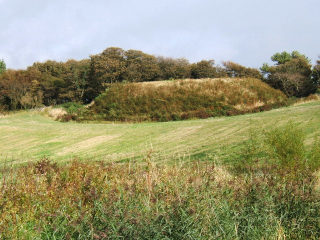
Church Wood is a serene and enchanting forest located in Wigtownshire, a historic county in southwest Scotland. This captivating woodland spans approximately 50 acres and is nestled within the charming village of Church.

The wood is predominantly composed of native broadleaf trees, such as oak, ash, and beech, which create a lush and verdant canopy that provides shelter and habitat for a diverse range of wildlife. The forest floor is adorned with a carpet of wildflowers, ferns, and mosses, adding to its picturesque beauty.

Walking through Church Wood is a delightful sensory experience. The air is filled with the sweet scent of damp earth and the soothing sound of bird songs. Sunlight filters through the dense foliage, creating playful patterns on the forest floor. The network of well-maintained paths and trails allows visitors to explore the wood at their own pace, immersing themselves in nature's tranquility.

The wood has a rich cultural and historical significance. The ruins of an ancient church, after which the village and woodland are named, can be found within its boundaries. These remnants of the past serve as a reminder of the area's deep-rooted heritage and provide a sense of connection to those who visit.

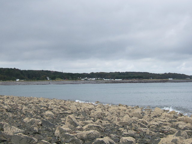
Church Wood is a haven for nature enthusiasts, hikers, and those seeking solace in the midst of natural beauty. Whether it's a leisurely stroll, birdwatching, or simply finding a peaceful spot to relax, this enchanting woodland offers a serene escape from the hustle and bustle of everyday life.

If you have any feedback on the listing, please let us know in the comments section below.
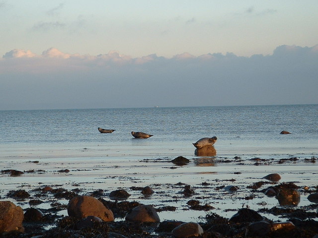
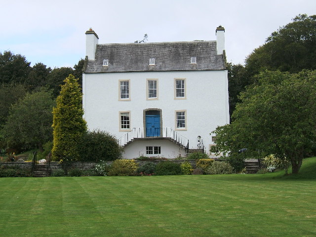
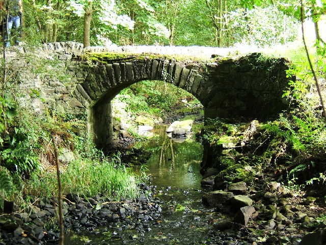
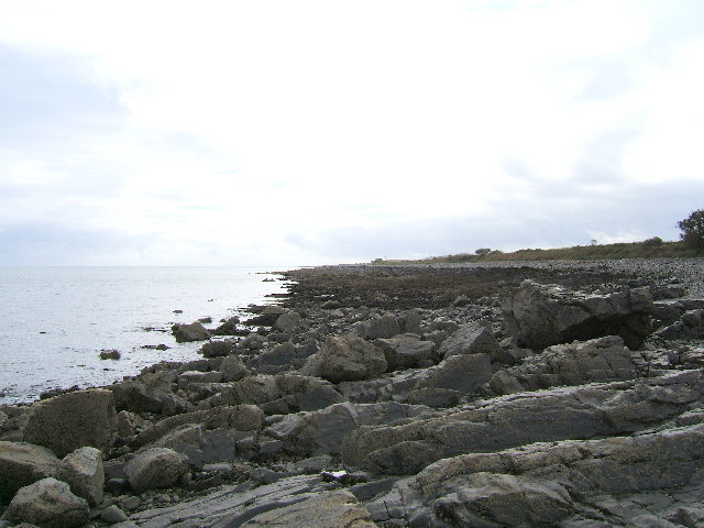
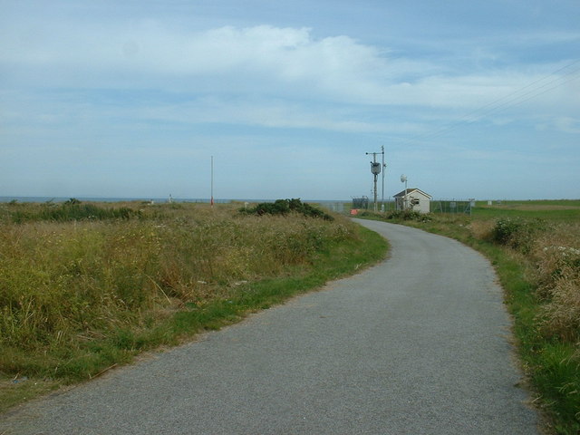
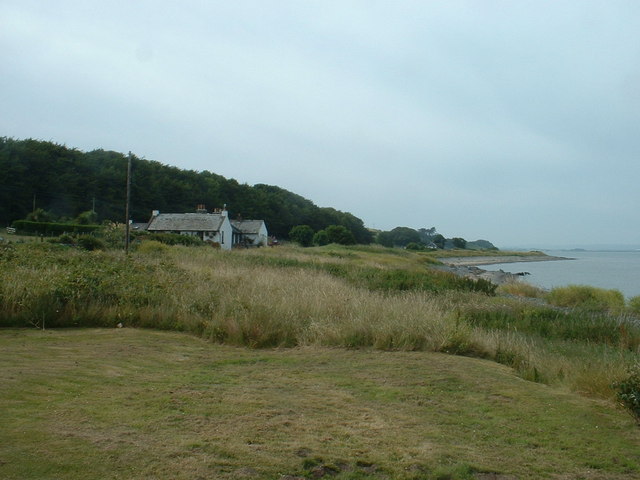
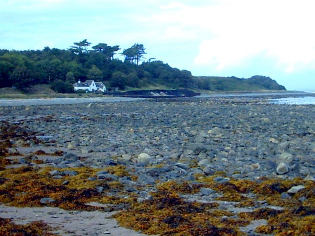
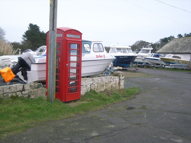
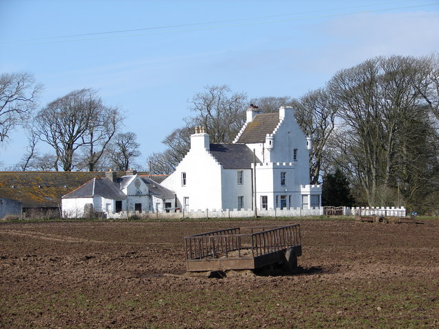
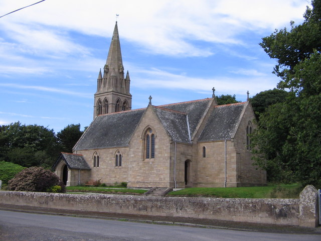
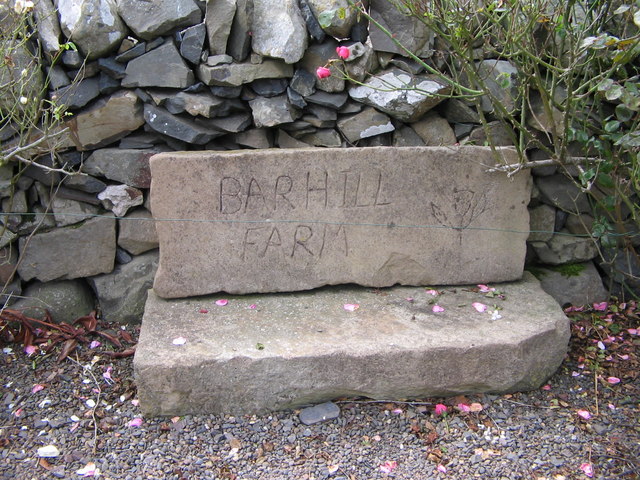
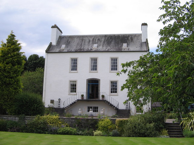
Church Wood Images

Images are sourced within 2km of 54.770662/-4.95394 or Grid Reference NX1045. Thanks to Geograph Open Source API. All images are credited.

Ardwell bay, Rhins of Galloway about 10 miles South of Stranraer Seals lazing on the rocks during a lovely Winter afternoon.
Ardwell bay, Rhins of Galloway about 10 miles South of Stranraer
Seals lazing on the rocks during a lovely Winter afternoon.
Ardwell House, Ardwell, Wigtownshire The estate house at Ardwell owned by and occupied by the Brewis family.
Ardwell House, Ardwell, Wigtownshire
The estate house at Ardwell owned by and occupied by the Brewis family.
An old cartpath and bridge within Ardwell Estate This old bridge is close to Ardwell houses, Ardwell, about 10 miles South of Stranraer.
An old cartpath and bridge within Ardwell Estate
This old bridge is close to Ardwell houses, Ardwell, about 10 miles South of Stranraer.
The rocky shore between Longrigg and Logan Mill Photograph taken around the point from Longrigg near Ardwell.
The rocky shore between Longrigg and Logan Mill
Photograph taken around the point from Longrigg near Ardwell.
The remains of a Motte and Bailey castle, Ardwell, Stranraer These are all that remain of a Motte and Bailey castle within the grounds of Ardwell House, Ardwell, Stranraer. The modern OS maps have it marked as Ardwell Motte and the shape is unmistakable. When closer, the ditch around the Motte is still noticeable and in fact, the estate have built two wooden bridges over the ditch, one at either side of a marked walk.
The remains of a Motte and Bailey castle, Ardwell, Stranraer
These are all that remain of a Motte and Bailey castle within the grounds of Ardwell House, Ardwell, Stranraer. The modern OS maps have it marked as Ardwell Motte and the shape is unmistakable. When closer, the ditch around the Motte is still noticeable and in fact, the estate have built two wooden bridges over the ditch, one at either side of a marked walk.
Chapel Rossan Bay looking across to Ardwell village and caravan site. Chapel Rossan Bay taken from Chapel Rossan and looking across to Ardwell village, about 10 miles South of Stranraer.
Chapel Rossan Bay looking across to Ardwell village and caravan site.
Chapel Rossan Bay taken from Chapel Rossan and looking across to Ardwell village, about 10 miles South of Stranraer.
Ardwell Church, Ardwell, Stranraer Ardwell Church, Ardwell, Stranraer built in 1902.
Ardwell Church, Ardwell, Stranraer
Ardwell Church, Ardwell, Stranraer built in 1902.
Ardwell Church
Ardwell Church
Lane near Ardwell Church On the opposite side of the road, running south.
Lane near Ardwell Church
On the opposite side of the road, running south.
MoD Lookout on Luce Bay There is a barrier here, restricting access to the shore when military activities are underway.
MoD Lookout on Luce Bay
There is a barrier here, restricting access to the shore when military activities are underway.
Drumantrae On the shore of Luce Bay, looking north.
Drumantrae
On the shore of Luce Bay, looking north.
The Dyemill, Near Sandhead Now a private dwelling, the Dye Mill was once powered by the Alwhibbie Burn to mill seaweed and obtain a brown dye.  Seaweed was one of Scotland's most valuable natural resources.
The Dyemill, Near Sandhead
Now a private dwelling, the Dye Mill was once powered by the Alwhibbie Burn to mill seaweed and obtain a brown dye. Seaweed was one of Scotland's most valuable natural resources.
Ardwell Telephone Box
Auchness Tower, Ardwell The 16 century altered 3-storey tower was formerly known as Auchness Castle; it now forms part of a modern farmhouse. <span class="nowrap"><a title="http://canmore.org.uk/site/61124/auchness-farmhouse" rel="nofollow ugc noopener" href="http://canmore.org.uk/site/61124/auchness-farmhouse">Link</a><img style="margin-left:2px;" alt="External link" title="External link - shift click to open in new window" src="https://s1.geograph.org.uk/img/external.png" width="10" height="10"/></span>
Auchness Tower, Ardwell
The 16 century altered 3-storey tower was formerly known as Auchness Castle; it now forms part of a modern farmhouse. LinkExternal link
Ardwell Church
Ardwell Church
Carved farm sign for Barhill farm
Ardwell House The house was built in the early 18th century. It has been in the McTaggart family since before 1800.
Ardwell House
The house was built in the early 18th century. It has been in the McTaggart family since before 1800.
Carved stone family crest This owl carving is the crest of the MacTaggart family owners of Ardwell House
Carved stone family crest
This owl carving is the crest of the MacTaggart family owners of Ardwell House
Show me another place!

Church Wood is located at Grid Ref: NX1045 (Lat: 54.770662, Lng: -4.95394)

Unitary Authority: Dumfries and Galloway

Police Authority: Dumfries and Galloway

What 3 Words

///arise.lately.professes. Near Drummore, Dumfries & Galloway

Related Wikis

Ardwell

Ardwell (from Gaelic Àrd Bhaile meaning "high town", pronounced as "Ardwell") is a village in the Scottish unitary council area of Dumfries and Galloway...

Clachanmore

Clachanmore is a village in the South Rhins of Galloway near Ardwell in the south west of Scotland. It has also been known as Low Ardwell.The name of the...

Logan Botanic Garden

Logan Botanic Garden is a botanical garden near Port Logan on the Rhins of Galloway, at the south-western tip of Scotland. The Botanic Garden was established...

Sandhead

Sandhead is a small village in Dumfries and Galloway, south west Scotland. It overlooks Luce Bay, 7 miles south of Stranraer. The old main road, named...

Doon Castle Broch

Doon Castle Broch is an iron-age broch located in Dumfries and Galloway, Scotland (grid reference NX 06702 44683). == Location == The Broch is located...

Port Logan

Port Logan, formerly Port Nessock, is a small village in the parish of Kirkmaiden in the Rhins of Galloway in Wigtownshire. The Gaelic name is Port Neasaig...

Stoneykirk

Stoneykirk (Scottish Gaelic: Eaglais Steafain) is an area and a village in the heart of the Rhins of Galloway, Wigtownshire, in the administrative council...

RAF West Freugh

RAF West Freugh is a former Royal Air Force station located in Wigtownshire, 5 miles (8 km) south east of Stranraer, Dumfries and Galloway, Scotland. It...

Nearby Amenities

Located within 500m of 54.770662,-4.95394
Ardwell Mains
Place: farm
Lat/Long: 54.7706901/-4.9516396
Power: pole
Lat/Long: 54.7720118/-4.947423
Power: pole
Lat/Long: 54.7720443/-4.9485201
Power: pole
Lat/Long: 54.7720551/-4.949601
Power: pole
Lat/Long: 54.7720861/-4.9506632
Power: pole
Lat/Long: 54.7721/-4.951728
Power: pole
Lat/Long: 54.7720969/-4.9532005
Power: pole
Lat/Long: 54.7721402/-4.9539596
Power: pole
Lat/Long: 54.7722563/-4.9553758
Power: pole
Lat/Long: 54.7724017/-4.9572158
Power: pole
Lat/Long: 54.7725286/-4.9588788
Power: pole
Lat/Long: 54.7726214/-4.9599651
Events Venue
Ardwell Glasshouse
Addr City: Ardwell
Addr Housename: Ardwell House
Check Date: 2023-08-12
Contact Facebook: https://www.facebook.com/ArdwellGlasshouse
Contact Instagram: https://www.instagram.com/ardwell_glasshouse/
Email: info@ardwellglasshouse.com
Phone: +44 7547 398488
Website: https://ardwellglasshouse.com
Lat/Long: 54.7666992/-4.9517909
The data included in this document is from www.openstreetmap.org. The data is made available under ODbL.

Have you been to Church Wood?

Leave your review of Church Wood below (or comments, questions and feedback).