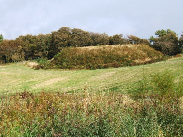
Mote Plantation
Wood, Forest in Wigtownshire
Scotland
Mote Plantation
Mote Plantation, located in Wigtownshire, Scotland, is a sprawling woodland area known for its diverse range of flora and fauna. Spanning over several acres, this enchanting forest is a perfect destination for nature enthusiasts and those seeking tranquility amidst the beauty of the great outdoors.
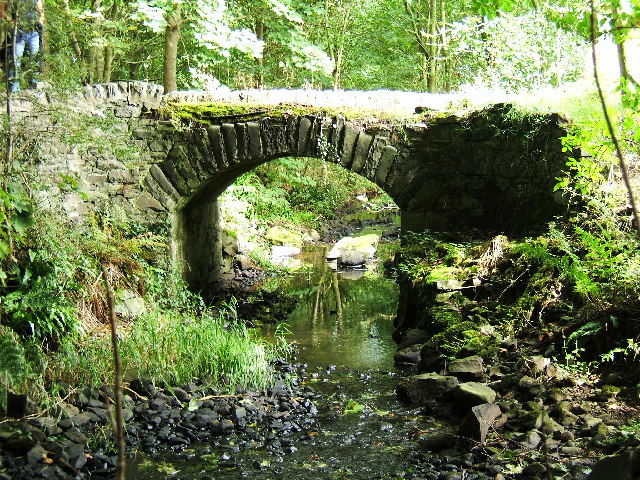
The plantation boasts a mixture of deciduous and coniferous trees, including oak, beech, pine, and spruce, creating a captivating tapestry of colors throughout the seasons. The well-maintained trails winding through the woodland allow visitors to explore the plantation's picturesque landscapes at their own pace.
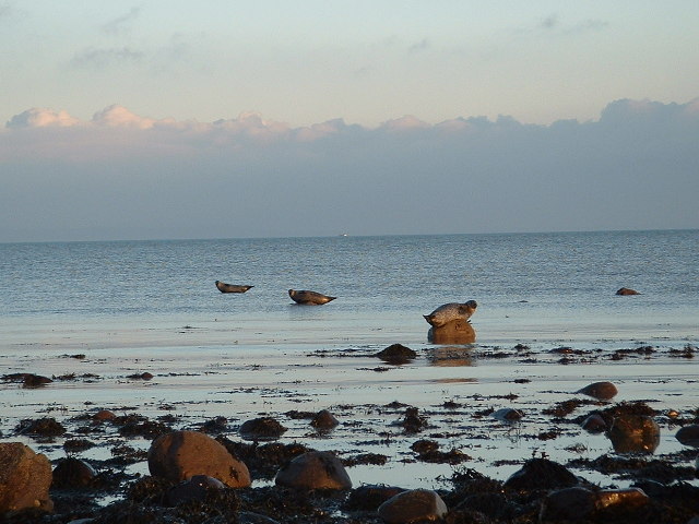
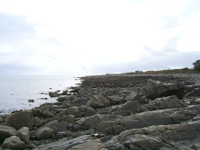
Wildlife thrives in Mote Plantation, with numerous species calling it home. Birdwatchers are in for a treat, as they can spot various avian species such as woodpeckers, thrushes, and owls. Small mammals like squirrels and rabbits can also be seen darting through the undergrowth, while elusive deer occasionally make appearances in the early morning or at dusk.
For those interested in the history of the area, Mote Plantation holds significance as the site of a former fortified medieval structure known as a mote or motte. Visitors can still observe remnants of the mote, which once served as a defensive structure during turbulent times.
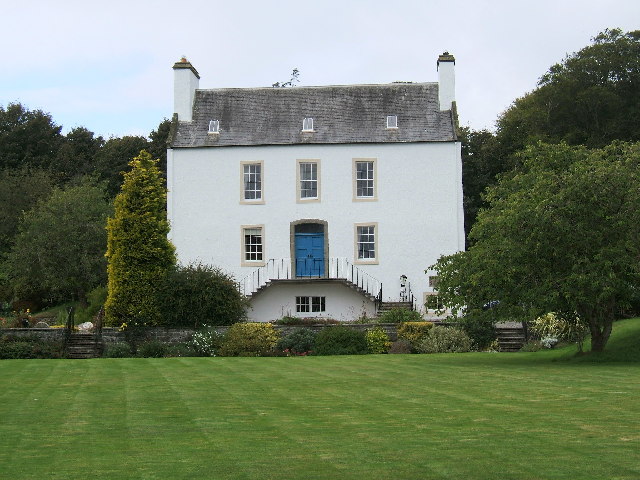
Mote Plantation offers a tranquil escape from the bustle of everyday life, providing an opportunity to reconnect with nature and immerse oneself in the serene ambiance of a Scottish woodland. Whether it's a leisurely stroll, birdwatching, or simply enjoying the serenity of the surroundings, this picturesque plantation is a must-visit destination for nature enthusiasts and history aficionados alike.
If you have any feedback on the listing, please let us know in the comments section below.
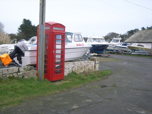
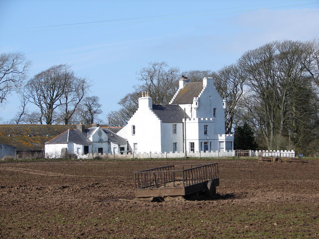
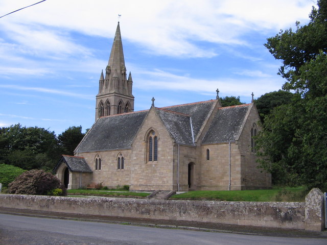
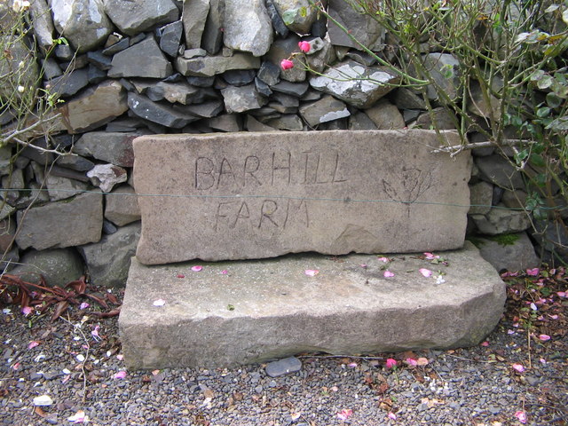
Mote Plantation Images
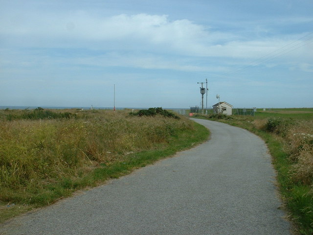
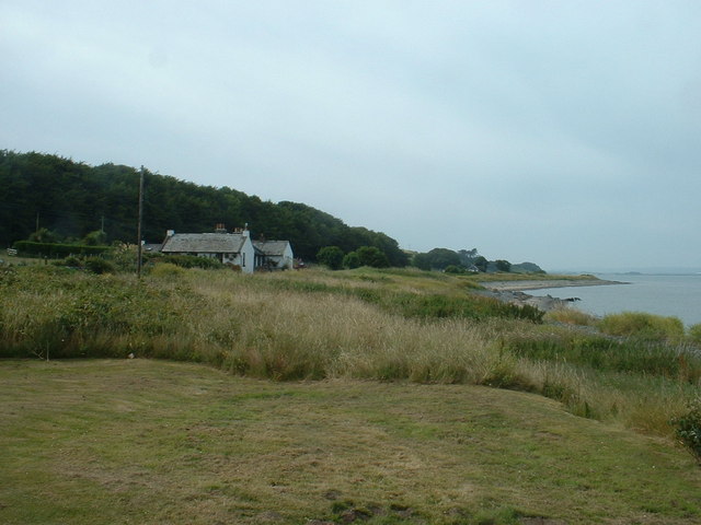
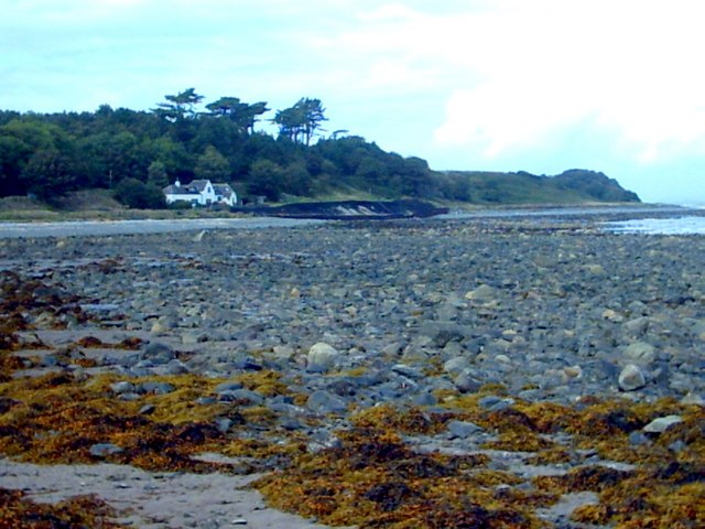
Images are sourced within 2km of 54.77009/-4.944537 or Grid Reference NX1045. Thanks to Geograph Open Source API. All images are credited.

Mote Plantation is located at Grid Ref: NX1045 (Lat: 54.77009, Lng: -4.944537)
Unitary Authority: Dumfries and Galloway
Police Authority: Dumfries and Galloway
What 3 Words
///houseboat.poems.mice. Near Drummore, Dumfries & Galloway
Nearby Locations
Related Wikis

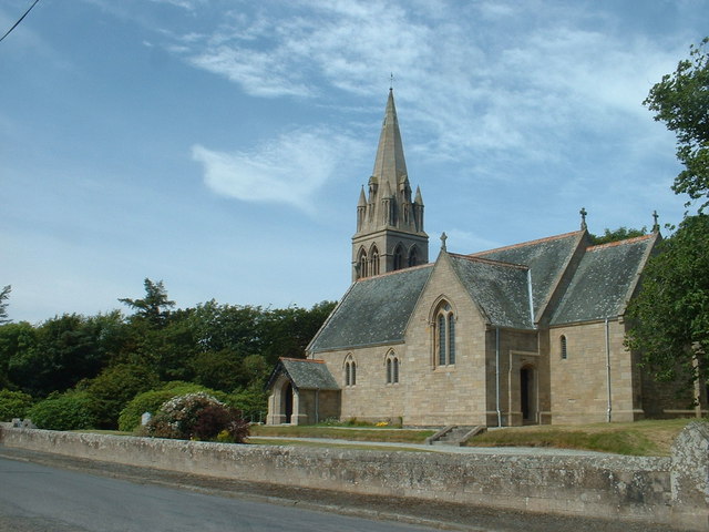
Ardwell
Ardwell (from Gaelic Àrd Bhaile meaning "high town", pronounced as "Ardwell") is a village in the Scottish unitary council area of Dumfries and Galloway...

Clachanmore
Clachanmore is a village in the South Rhins of Galloway near Ardwell in the south west of Scotland. It has also been known as Low Ardwell.The name of the...

Logan Botanic Garden
Logan Botanic Garden is a botanical garden near Port Logan on the Rhins of Galloway, at the south-western tip of Scotland. The Botanic Garden was established...
Sandhead
Sandhead is a small village in Dumfries and Galloway, south west Scotland. It overlooks Luce Bay, 7 miles south of Stranraer. The old main road, named...

Doon Castle Broch
Doon Castle Broch is an iron-age broch located in Dumfries and Galloway, Scotland (grid reference NX 06702 44683). == Location == The Broch is located...

Port Logan
Port Logan, formerly Port Nessock, is a small village in the parish of Kirkmaiden in the Rhins of Galloway in Wigtownshire. The Gaelic name is Port Neasaig...
Stoneykirk
Stoneykirk (Scottish Gaelic: Eaglais Steafain) is an area and a village in the heart of the Rhins of Galloway, Wigtownshire, in the administrative council...

RAF West Freugh
RAF West Freugh is a former Royal Air Force station located in Wigtownshire, 5 miles (8 km) south east of Stranraer, Dumfries and Galloway, Scotland. It...
Nearby Amenities
Located within 500m of 54.77009,-4.944537Have you been to Mote Plantation?
Leave your review of Mote Plantation below (or comments, questions and feedback).