Corriegills Wood

Wood, Forest in Buteshire

Scotland

Corriegills Wood

Holy Island View From near the trig point above Clauchlands is a fine view across to Holy Island.
Dead Bracken conspicuous in the foreground.
Holy Island View Credit: Adam Ward

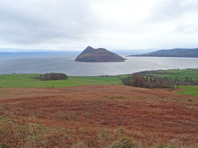
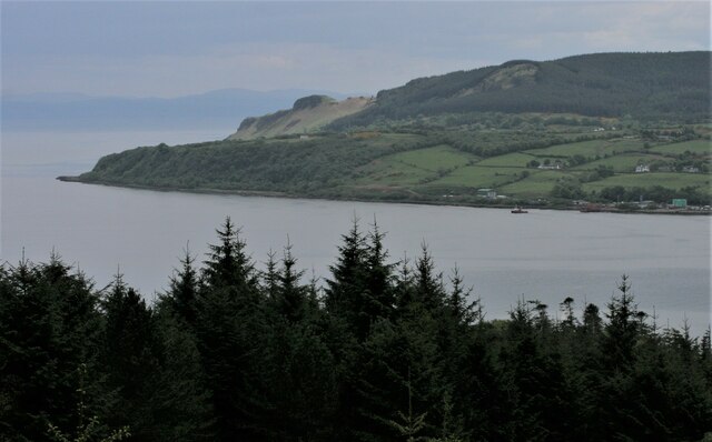
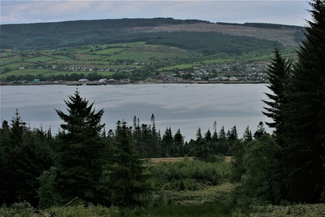
Corriegills Wood is a stunning forest located in Buteshire, Scotland. Covering an area of approximately 50 acres, this wood is a haven for nature enthusiasts and outdoor adventurers alike. The wood is nestled within a picturesque landscape, surrounded by rolling hills and bordered by a small river, adding to its charm and tranquility.

The forest is predominantly composed of native deciduous trees such as oak, birch, and ash, which create a rich and diverse habitat for a wide range of plant and animal species. The wood is particularly renowned for its vibrant displays of bluebells in the spring, turning the forest floor into a carpet of blue hues.

A well-maintained network of walking trails winds through Corriegills Wood, providing visitors with the opportunity to explore its natural beauty at their own pace. These paths vary in difficulty, offering options for both casual strolls and more challenging hikes. Along the way, visitors can enjoy breathtaking views of the surrounding countryside and may even encounter some of the woodland's inhabitants, including deer, squirrels, and a variety of bird species.

Corriegills Wood is not only a recreational area but also serves as an important ecological site. The forest plays a role in preserving biodiversity by providing a habitat for numerous rare and endangered species. It is also actively managed to ensure the long-term sustainability of the woodland ecosystem.

Whether it is for a peaceful walk, birdwatching, or simply immersing oneself in nature, Corriegills Wood offers visitors a truly enchanting experience in the heart of Buteshire.

If you have any feedback on the listing, please let us know in the comments section below.

Corriegills Wood Images

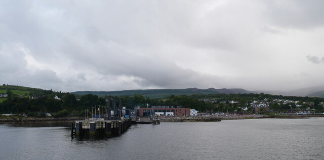
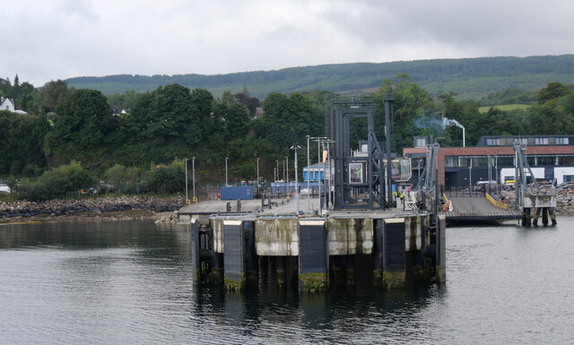
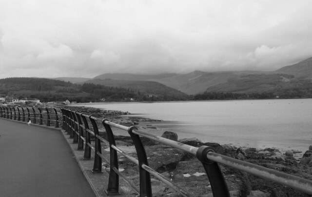
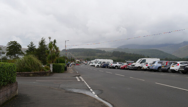
Images are sourced within 2km of 55.563062/-5.1228437 or Grid Reference NS0334. Thanks to Geograph Open Source API. All images are credited.

Holy Island View From near the trig point above Clauchlands is a fine view across to Holy Island.
Dead Bracken conspicuous in the foreground.
Holy Island View
From near the trig point above Clauchlands is a fine view across to Holy Island. Dead Bracken conspicuous in the foreground.
Approaching Brodick
Approaching Brodick
Brodick Ferry Terminal Being improved
Brodick Ferry Terminal
Being improved
The McLaren Hotel, Brodick Ready for redevelopment - a local eyesore.
The McLaren Hotel, Brodick
Ready for redevelopment - a local eyesore.
Crazy golf, Brodick
Crazy golf, Brodick
Harbour works The work being undertaken in this image relates to the removal of elements of the former pier and mooring dolphins from below the waterline. Parts of the old pier can be seen in the left of the image. Visitors will know that the landward end of the former link-span is now in use as a seating and viewing area, complete with lane markings!
Harbour works
The work being undertaken in this image relates to the removal of elements of the former pier and mooring dolphins from below the waterline. Parts of the old pier can be seen in the left of the image. Visitors will know that the landward end of the former link-span is now in use as a seating and viewing area, complete with lane markings!
Dun Fionn, Clauchland Hills The bare hill just left of centre is Dun Fionn, a hillfort at the eastern end of the Clauchland Hills. It is a Scheduled Monument <span class="nowrap"><a title="http://portal.historicenvironment.scot/designation/SM4710" rel="nofollow ugc noopener" href="http://portal.historicenvironment.scot/designation/SM4710">Link</a><img style="margin-left:2px;" alt="External link" title="External link - shift click to open in new window" src="https://s1.geograph.org.uk/img/external.png" width="10" height="10"/></span>. See Canmore <span class="nowrap"><a title="https://canmore.org.uk/site/40197/arran-clauchlands-dun-fionn" rel="nofollow ugc noopener" href="https://canmore.org.uk/site/40197/arran-clauchlands-dun-fionn">Link</a><img style="margin-left:2px;" alt="External link" title="External link - shift click to open in new window" src="https://s1.geograph.org.uk/img/external.png" width="10" height="10"/></span> for more information.

On the left is Corriegills Point.

Camera location is on the slopes above Brodick Castle.
Dun Fionn, Clauchland Hills
The bare hill just left of centre is Dun Fionn, a hillfort at the eastern end of the Clauchland Hills. It is a Scheduled Monument LinkExternal link. See Canmore LinkExternal link for more information. On the left is Corriegills Point. Camera location is on the slopes above Brodick Castle.
View across Brodick Bay Looking across the bay towards the ferry terminal at Brodick. The Clauchland Hills are behind, much of which are forested.

Camera location is on the slopes above Brodick Castle.
View across Brodick Bay
Looking across the bay towards the ferry terminal at Brodick. The Clauchland Hills are behind, much of which are forested. Camera location is on the slopes above Brodick Castle.
Brodick ferry terminal
A view from Shore Road, Brodick, Arran
A view of the ferry terminal from Shore Road, Brodick, Arran
Shore Road (A841), Brodick, Arran The Arran Coastal Way follows the A841 here.
Shore Road (A841), Brodick, Arran
The Arran Coastal Way follows the A841 here.
Brodick ferry terminal, Arran
Brodick bus station, Arran
A ferry approaching Brodick, Arran
Show me another place!

Corriegills Wood is located at Grid Ref: NS0334 (Lat: 55.563062, Lng: -5.1228437)

Unitary Authority: North Ayrshire

Police Authority: Ayrshire

What 3 Words

///fell.blackouts.lunge. Near Brodick, North Ayrshire

Related Wikis

Strathwhillan

Strathwhillan (Scottish Gaelic: Srath Chuilinn) is a tiny community on the Isle of Arran in the Firth of Clyde, Scotland. It is really a suburb of the...

Arran War Memorial Hospital

The Arran War Memorial Hospital is a healthcare facility located in Lamlash on the Isle of Arran, Scotland. It has seventeen staffed beds for in-patient...

Brodick

Brodick ( BROD-ik, Scottish Gaelic: Tràigh a' Chaisteil ("Castle Beach") or Breadhaig) is the main village on the Isle of Arran, in the Firth of Clyde...

Lamlash

Lamlash (Scottish Gaelic: An t-Eilean Àrd) is a village on the Isle of Arran, in the Firth of Clyde, Scotland. It lies three miles (five kilometres) south...

Nearby Amenities

Located within 500m of 55.563062,-5.1228437
Turning Circle
Lat/Long: 55.5611482/-5.116319
Post Box
Check Date Collection Times: 2022-06-27
Collection Times: Mo-Fr 15:00; Sa 12:30
Post Box Type: lamp
Ref: KA27 56
Royal Cypher: scottish_crown
Lat/Long: 55.5673797/-5.122188
Power: pole
Lat/Long: 55.5669764/-5.1231344
Material: wood
Power: pole
Lat/Long: 55.5662036/-5.1174346
Material: wood
Power: pole
Lat/Long: 55.5663967/-5.1189898
Material: wood
Power: pole
Lat/Long: 55.5666003/-5.119966
Material: wood
Power: pole
Lat/Long: 55.5668144/-5.121098
Material: wood
Power: pole
Lat/Long: 55.5669105/-5.1223166
The data included in this document is from www.openstreetmap.org. The data is made available under ODbL.

Have you been to Corriegills Wood?

Leave your review of Corriegills Wood below (or comments, questions and feedback).