North Corriegills

Settlement in Buteshire

Scotland

North Corriegills

The end of the Brodick ferry jetty Taken from the bow of the MV Isle of Arran while berthed.
The end of the Brodick ferry jetty Credit: Gordon Brown

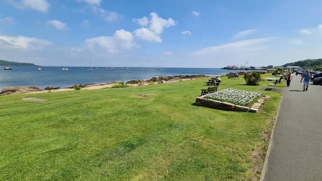
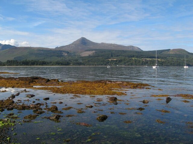
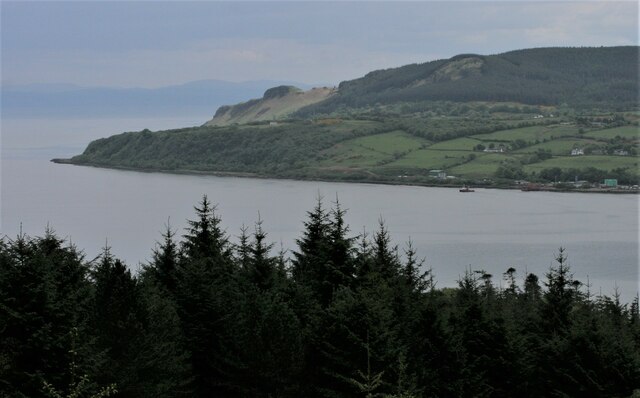
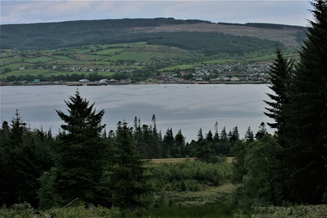
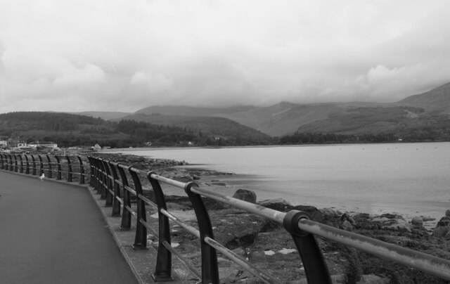
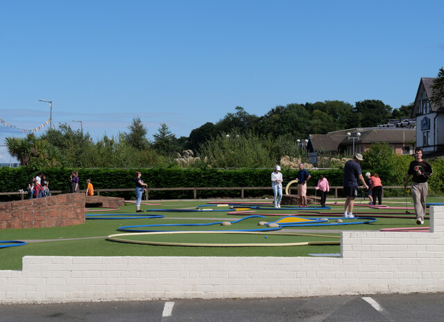
North Corriegills is a small village located in the county of Buteshire, Scotland. Situated on the western coast of the Isle of Bute, it is surrounded by picturesque landscapes and offers stunning views of the nearby sea and rolling hills. The village itself is home to a close-knit community that takes pride in its peaceful and idyllic setting.

With a population of around 200 residents, North Corriegills exudes a charming and tranquil atmosphere. The village is primarily residential, consisting of traditional stone-built houses, some of which date back several centuries. These well-preserved dwellings add to the charm and character of the area.

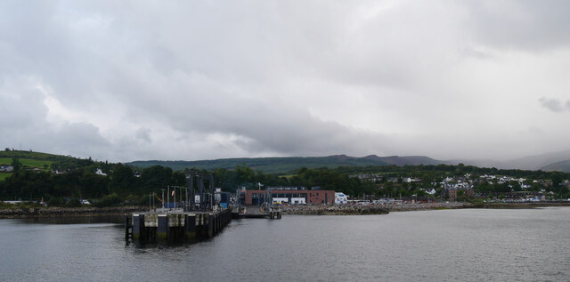
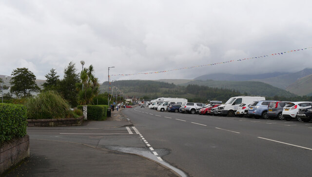
Although small in size, North Corriegills benefits from its proximity to nearby amenities. The village is located just a short distance from the larger town of Rothesay, which offers a wider range of services such as shops, restaurants, and schools. This makes North Corriegills an ideal place for those seeking a quieter lifestyle while still having access to essential facilities.

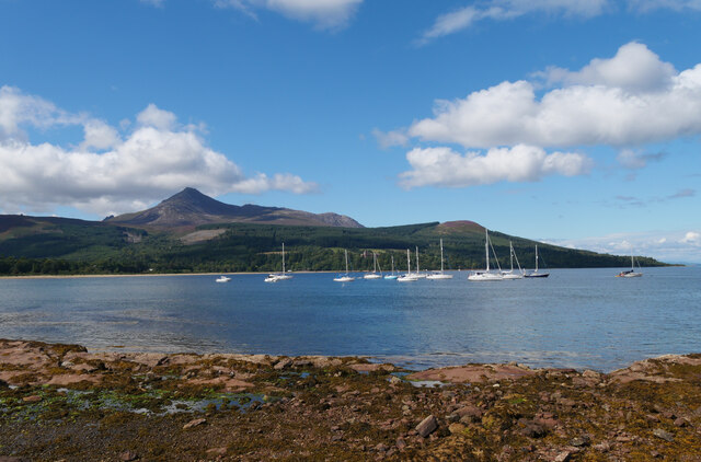
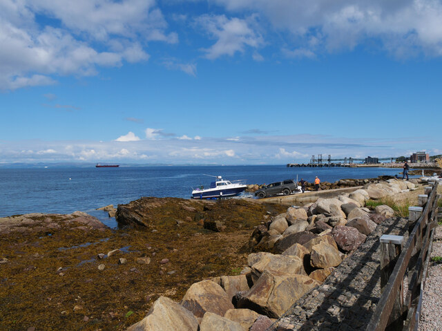
In terms of recreational activities, North Corriegills is surrounded by natural beauty, making it a haven for outdoor enthusiasts. The nearby coastline offers opportunities for scenic walks, fishing, and birdwatching. Additionally, the rolling hills and forests that surround the village provide ample space for hiking, mountain biking, and exploring nature.

Overall, North Corriegills is a charming village that offers a peaceful and close-knit community in a beautiful coastal setting. Its residents enjoy a tranquil lifestyle, while still having access to essential amenities and a wealth of outdoor activities.

If you have any feedback on the listing, please let us know in the comments section below.

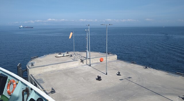
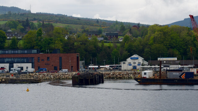
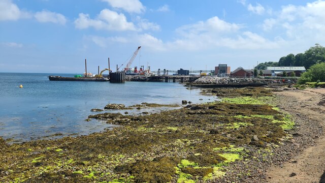
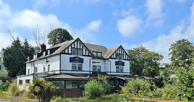
North Corriegills Images

Images are sourced within 2km of 55.567382/-5.1222984 or Grid Reference NS0334. Thanks to Geograph Open Source API. All images are credited.

The end of the Brodick ferry jetty Taken from the bow of the MV Isle of Arran while berthed.
The end of the Brodick ferry jetty
Taken from the bow of the MV Isle of Arran while berthed.
Approaching Brodick
Approaching Brodick
Brodick Ferry Terminal Being improved
Brodick Ferry Terminal
Being improved
The McLaren Hotel, Brodick Ready for redevelopment - a local eyesore.
The McLaren Hotel, Brodick
Ready for redevelopment - a local eyesore.
Sea front, Invercloy, Brodick
Crazy golf, Brodick
Crazy golf, Brodick
Brodick shore Nearly high tide at Brodick, where a low, seaweed-grown reef is about to be submerged.
Brodick shore
Nearly high tide at Brodick, where a low, seaweed-grown reef is about to be submerged.
Harbour works The work being undertaken in this image relates to the removal of elements of the former pier and mooring dolphins from below the waterline. Parts of the old pier can be seen in the left of the image. Visitors will know that the landward end of the former link-span is now in use as a seating and viewing area, complete with lane markings!
Harbour works
The work being undertaken in this image relates to the removal of elements of the former pier and mooring dolphins from below the waterline. Parts of the old pier can be seen in the left of the image. Visitors will know that the landward end of the former link-span is now in use as a seating and viewing area, complete with lane markings!
Dun Fionn, Clauchland Hills The bare hill just left of centre is Dun Fionn, a hillfort at the eastern end of the Clauchland Hills. It is a Scheduled Monument <span class="nowrap"><a title="http://portal.historicenvironment.scot/designation/SM4710" rel="nofollow ugc noopener" href="http://portal.historicenvironment.scot/designation/SM4710">Link</a><img style="margin-left:2px;" alt="External link" title="External link - shift click to open in new window" src="https://s1.geograph.org.uk/img/external.png" width="10" height="10"/></span>. See Canmore <span class="nowrap"><a title="https://canmore.org.uk/site/40197/arran-clauchlands-dun-fionn" rel="nofollow ugc noopener" href="https://canmore.org.uk/site/40197/arran-clauchlands-dun-fionn">Link</a><img style="margin-left:2px;" alt="External link" title="External link - shift click to open in new window" src="https://s1.geograph.org.uk/img/external.png" width="10" height="10"/></span> for more information.

On the left is Corriegills Point.

Camera location is on the slopes above Brodick Castle.
Dun Fionn, Clauchland Hills
The bare hill just left of centre is Dun Fionn, a hillfort at the eastern end of the Clauchland Hills. It is a Scheduled Monument LinkExternal link. See Canmore LinkExternal link for more information. On the left is Corriegills Point. Camera location is on the slopes above Brodick Castle.
View across Brodick Bay Looking across the bay towards the ferry terminal at Brodick. The Clauchland Hills are behind, much of which are forested.

Camera location is on the slopes above Brodick Castle.
View across Brodick Bay
Looking across the bay towards the ferry terminal at Brodick. The Clauchland Hills are behind, much of which are forested. Camera location is on the slopes above Brodick Castle.
Brodick ferry terminal
A view from Shore Road, Brodick, Arran
A view of the ferry terminal from Shore Road, Brodick, Arran
Shore Road (A841), Brodick, Arran The Arran Coastal Way follows the A841 here.
Shore Road (A841), Brodick, Arran
The Arran Coastal Way follows the A841 here.
Brodick Bay, Arran
Brodick Bay, Arran
Brodick Shore, Arran
Crazy Golf, Shore Road, Brodick, Arran
Show me another place!

North Corriegills is located at Grid Ref: NS0334 (Lat: 55.567382, Lng: -5.1222984)

Unitary Authority: North Ayrshire

Police Authority: Ayrshire

What 3 Words

///headline.octagonal.sober. Near Brodick, North Ayrshire

Related Wikis

Strathwhillan

Strathwhillan (Scottish Gaelic: Srath Chuilinn) is a tiny community on the Isle of Arran in the Firth of Clyde, Scotland. It is really a suburb of the...

Brodick

Brodick ( BROD-ik, Scottish Gaelic: Tràigh a' Chaisteil ("Castle Beach") or Breadhaig) is the main village on the Isle of Arran, in the Firth of Clyde...

Arran War Memorial Hospital

The Arran War Memorial Hospital is a healthcare facility located in Lamlash on the Isle of Arran, Scotland. It has seventeen staffed beds for in-patient...

Home Farm, Brodick

Home Farm was the estate farm for Brodick Castle. It now houses a series of tourist enterprises including a cheese shop and Arran Aromatics. This was the...

Lamlash

Lamlash (Scottish Gaelic: An t-Eilean Àrd) is a village on the Isle of Arran, in the Firth of Clyde, Scotland. It lies three miles (five kilometres) south...

Cladach

Note: Cladach is a general Scottish Gaelic word for "beach" or "shore" and occurs in many Scottish placenames Cladach (Scottish Gaelic: An Cladach) is...

Arran Hydro-Electric Schemes

There are several hydro-electric schemes on the Isle of Arran, an island in the Firth of Clyde, Scotland. Most of them were installed during the early...

Holy Island, Firth of Clyde

The Holy Island or Holy Isle (Scottish Gaelic: Eilean MoLaise) is an island in the Firth of Clyde, off the west coast of central Scotland, inside Lamlash...

Nearby Amenities

Located within 500m of 55.567382,-5.1222984
North Corriegills
Place: hamlet
Lat/Long: 55.5693589/-5.1185121
Post Box
Check Date Collection Times: 2022-06-27
Collection Times: Mo-Fr 15:00; Sa 12:30
Post Box Type: lamp
Ref: KA27 56
Royal Cypher: scottish_crown
Lat/Long: 55.5673797/-5.122188
Power: pole
Lat/Long: 55.5696606/-5.127742
Power: pole
Lat/Long: 55.5691329/-5.1290975
Power: pole
Lat/Long: 55.5689694/-5.1280785
Power: pole
Lat/Long: 55.5684574/-5.1264674
Power: pole
Lat/Long: 55.5669764/-5.1231344
Power: pole
Lat/Long: 55.5692933/-5.1189322
Power: pole
Lat/Long: 55.5690729/-5.1197187
Power: pole
Lat/Long: 55.5688512/-5.1204613
Power: pole
Lat/Long: 55.5686204/-5.121799
Material: wood
Power: pole
Lat/Long: 55.5658617/-5.1151433
Material: wood
Power: pole
Lat/Long: 55.5660254/-5.116331
Material: wood
Power: pole
Lat/Long: 55.5662036/-5.1174346
Material: wood
Power: pole
Lat/Long: 55.5663967/-5.1189898
Material: wood
Power: pole
Lat/Long: 55.5666003/-5.119966
Material: wood
Power: pole
Lat/Long: 55.5668144/-5.121098
Material: wood
Power: pole
Lat/Long: 55.5669105/-5.1223166
Power: pole
Lat/Long: 55.5685487/-5.1241792
The data included in this document is from www.openstreetmap.org. The data is made available under ODbL.

Have you been to North Corriegills?

Leave your review of North Corriegills below (or comments, questions and feedback).