South Corriegill

Settlement in Buteshire

Scotland

South Corriegill

Holy Island View From near the trig point above Clauchlands is a fine view across to Holy Island.
Dead Bracken conspicuous in the foreground.
Holy Island View Credit: Adam Ward

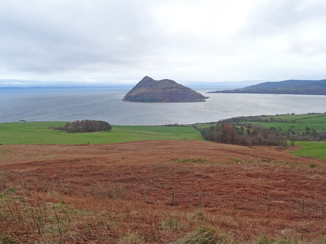
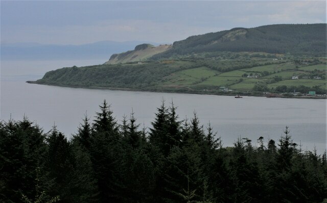
South Corriegill is a small village located in the county of Buteshire, Scotland. Situated on the western coast of the Isle of Bute, it is nestled amidst stunning natural beauty, offering residents and visitors picturesque views of the surrounding countryside and the nearby sea.

The village is home to a tight-knit community, with a population of around 500 people. South Corriegill primarily consists of residential properties, with a mix of traditional stone cottages and modern houses. The village's architecture exudes a charming rural character, complementing the serene atmosphere that pervades the area.

Despite its small size, South Corriegill boasts a few amenities to cater to the needs of its residents. The village has a local convenience store, providing basic groceries and essentials. Additionally, there is a pub where locals and visitors can socialize and enjoy a drink. For more extensive shopping or leisure activities, residents often make use of the nearby larger town of Rothesay, which is just a short drive away.

The surrounding landscape offers ample opportunities for outdoor enthusiasts. South Corriegill benefits from its proximity to various walking trails, allowing residents to explore the breathtaking countryside and enjoy leisurely hikes. The village's coastal location also presents opportunities for fishing and water sports, attracting enthusiasts from both near and far.

South Corriegill offers a tranquil and idyllic lifestyle, combining the beauty of nature with the warmth of a close-knit community. It is a haven for those seeking a peaceful retreat in the heart of Scotland's stunning countryside.

If you have any feedback on the listing, please let us know in the comments section below.

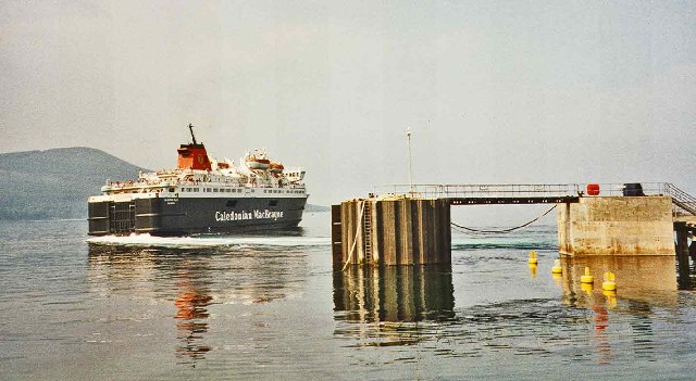
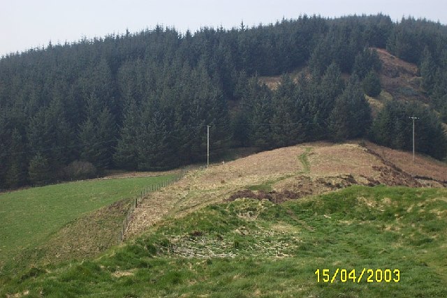
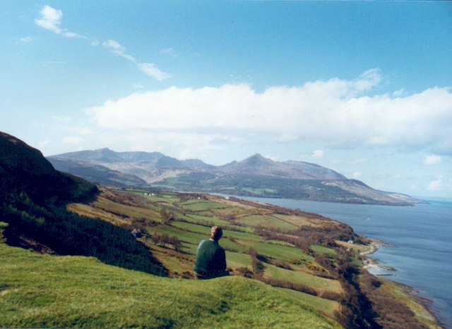
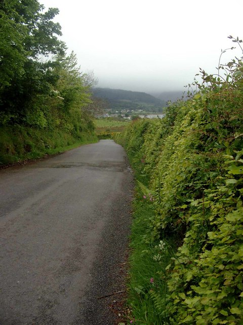
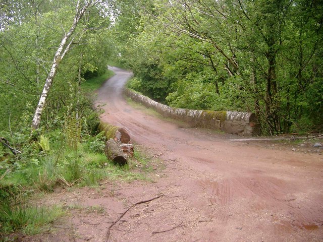
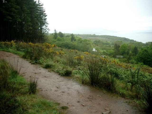
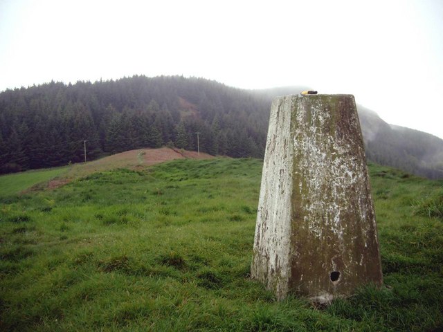
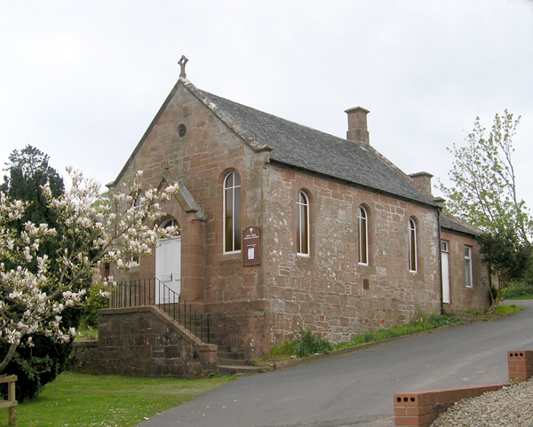
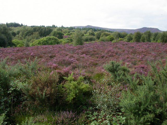
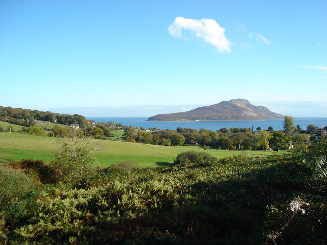
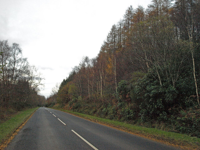
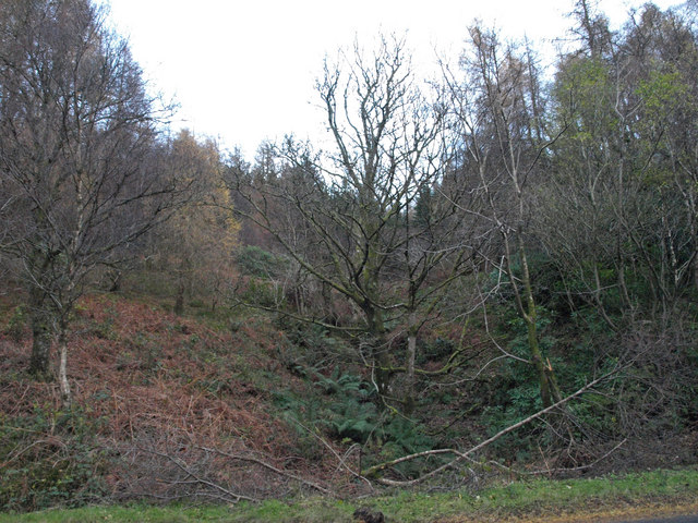
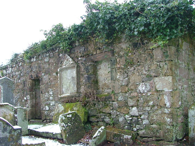
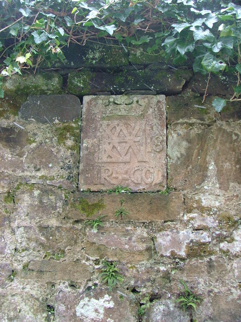
South Corriegill Images

Images are sourced within 2km of 55.559763/-5.1252942 or Grid Reference NS0334. Thanks to Geograph Open Source API. All images are credited.

Holy Island View From near the trig point above Clauchlands is a fine view across to Holy Island.
Dead Bracken conspicuous in the foreground.
Holy Island View
From near the trig point above Clauchlands is a fine view across to Holy Island. Dead Bracken conspicuous in the foreground.
Approaching Brodick
Approaching Brodick
Dun Fionn, Clauchland Hills The bare hill just left of centre is Dun Fionn, a hillfort at the eastern end of the Clauchland Hills. It is a Scheduled Monument <span class="nowrap"><a title="http://portal.historicenvironment.scot/designation/SM4710" rel="nofollow ugc noopener" href="http://portal.historicenvironment.scot/designation/SM4710">Link</a><img style="margin-left:2px;" alt="External link" title="External link - shift click to open in new window" src="https://s1.geograph.org.uk/img/external.png" width="10" height="10"/></span>. See Canmore <span class="nowrap"><a title="https://canmore.org.uk/site/40197/arran-clauchlands-dun-fionn" rel="nofollow ugc noopener" href="https://canmore.org.uk/site/40197/arran-clauchlands-dun-fionn">Link</a><img style="margin-left:2px;" alt="External link" title="External link - shift click to open in new window" src="https://s1.geograph.org.uk/img/external.png" width="10" height="10"/></span> for more information.

On the left is Corriegills Point.

Camera location is on the slopes above Brodick Castle.
Dun Fionn, Clauchland Hills
The bare hill just left of centre is Dun Fionn, a hillfort at the eastern end of the Clauchland Hills. It is a Scheduled Monument LinkExternal link. See Canmore LinkExternal link for more information. On the left is Corriegills Point. Camera location is on the slopes above Brodick Castle.
Clearfelled timber, Isle of Arran Near to corriegills outside Brodick 40 year old plantation being felled.
Clearfelled timber, Isle of Arran
Near to corriegills outside Brodick 40 year old plantation being felled.
Brodick Pier with Caledonian MacBrayne Ferry
View west from Dun Fionn near Lamlash, Arran Iron age fort on hill between Brodick and Lamlash
View west from Dun Fionn near Lamlash, Arran
Iron age fort on hill between Brodick and Lamlash
Arran east coast near Clauchland Looking north along the east coast of Arran between the villages of Lamlash and Brodick. Goat Fell can be seen in the distance.
Arran east coast near Clauchland
Looking north along the east coast of Arran between the villages of Lamlash and Brodick. Goat Fell can be seen in the distance.
The Corriegills Road Looking towards Brodick
The Corriegills Road
Looking towards Brodick
The Corriegills Bridge Looking  NW
The Corriegills Bridge
Looking NW
The path to Clauchlands Point On a rainy day.  Brodick Bay can just be seen in the distance.
The path to Clauchlands Point
On a rainy day. Brodick Bay can just be seen in the distance.
The trig on Dun Fionn Looking NW on a wet day.  Dun Fionn is an Iron-Age fort (and a pretty good defensive position!).
The trig on Dun Fionn
Looking NW on a wet day. Dun Fionn is an Iron-Age fort (and a pretty good defensive position!).
Brodick, Holy Cross RC Church
Moorland below Fairy Glen This view, taken from the path that descends Fairy Glen into Brodick, looks across to the summits of Sgiath Bhan and Muileann Gaoithe.
Moorland below Fairy Glen
This view, taken from the path that descends Fairy Glen into Brodick, looks across to the summits of Sgiath Bhan and Muileann Gaoithe.
Lamlash golf course looking towards Holy Island
Strathwhillan, Arran This road leads to Brodick approximately 1Km from here through heavily forested land.
Strathwhillan, Arran
This road leads to Brodick approximately 1Km from here through heavily forested land.
Strathwhillan, Arran Mixed woodland.
Strathwhillan, Arran
Mixed woodland.
The Ruined Chapel of St Bridget in the Cemetery at Lamlash The local cemetery of Lamlash on the Isle of Arran in Scotland has developed around this old (14th century) chapel ruin.
The Ruined Chapel of St Bridget in the Cemetery at Lamlash
The local cemetery of Lamlash on the Isle of Arran in Scotland has developed around this old (14th century) chapel ruin.
Wall Plaque on chapel of St Bridget This stone plaque is set into the wall of the ruined chapel of St Bridget in the cemetery at Lamlash. It relates to the Hamilton family, the motto is 'Fir God' (for God) and the date is 1618.
Wall Plaque on chapel of St Bridget
This stone plaque is set into the wall of the ruined chapel of St Bridget in the cemetery at Lamlash. It relates to the Hamilton family, the motto is 'Fir God' (for God) and the date is 1618.
Show me another place!

South Corriegill is located at Grid Ref: NS0334 (Lat: 55.559763, Lng: -5.1252942)

Unitary Authority: North Ayrshire

Police Authority: Ayrshire

What 3 Words

///ducks.autumn.answers. Near Brodick, North Ayrshire

Related Wikis

Strathwhillan

Strathwhillan (Scottish Gaelic: Srath Chuilinn) is a tiny community on the Isle of Arran in the Firth of Clyde, Scotland. It is really a suburb of the...

Arran War Memorial Hospital

The Arran War Memorial Hospital is a healthcare facility located in Lamlash on the Isle of Arran, Scotland. It has seventeen staffed beds for in-patient...

Brodick

Brodick ( BROD-ik, Scottish Gaelic: Tràigh a' Chaisteil ("Castle Beach") or Breadhaig) is the main village on the Isle of Arran, in the Firth of Clyde...

Lamlash

Lamlash (Scottish Gaelic: An t-Eilean Àrd) is a village on the Isle of Arran, in the Firth of Clyde, Scotland. It lies three miles (five kilometres) south...

Home Farm, Brodick

Home Farm was the estate farm for Brodick Castle. It now houses a series of tourist enterprises including a cheese shop and Arran Aromatics. This was the...

Cladach

Note: Cladach is a general Scottish Gaelic word for "beach" or "shore" and occurs in many Scottish placenames Cladach (Scottish Gaelic: An Cladach) is...

Arran Hydro-Electric Schemes

There are several hydro-electric schemes on the Isle of Arran, an island in the Firth of Clyde, Scotland. Most of them were installed during the early...

Holy Island, Firth of Clyde

The Holy Island or Holy Isle (Scottish Gaelic: Eilean MoLaise) is an island in the Firth of Clyde, off the west coast of central Scotland, inside Lamlash...

Nearby Amenities

Located within 500m of 55.559763,-5.1252942
Clauchland Hills
Ele: 260
Natural: peak
Lat/Long: 55.5583473/-5.1198868
The data included in this document is from www.openstreetmap.org. The data is made available under ODbL.

Have you been to South Corriegill?

Leave your review of South Corriegill below (or comments, questions and feedback).