Corrielaw, South
Settlement in Dumfriesshire
Scotland
Corrielaw, South

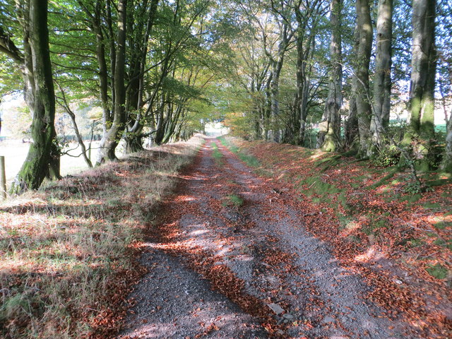
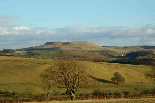
Corrielaw is a small village located in the southern region of Dumfriesshire, Scotland. Situated amidst picturesque countryside, this tranquil settlement offers a peaceful and idyllic living environment for its residents. The village is nestled near the River Nith, enhancing its natural beauty and providing opportunities for various outdoor recreational activities.
Despite its small size, Corrielaw boasts a strong sense of community, with friendly and welcoming locals. The village is renowned for its close-knit community spirit, with regular social events and gatherings held throughout the year. These events foster a sense of unity among the residents and provide an opportunity for them to come together and celebrate their shared heritage.
Historically, Corrielaw has been predominantly an agricultural community, with farming playing a vital role in the local economy. The surrounding countryside offers fertile land, and many residents are engaged in farming or related industries. The village also benefits from its proximity to nearby towns and cities, such as Dumfries, which provide additional employment opportunities and amenities for the residents.
Corrielaw is well-connected to the rest of Dumfriesshire through a reliable road network, ensuring easy access to nearby towns and attractions. The village is also served by regular bus services, facilitating transportation for those who prefer public transit.
In terms of amenities, Corrielaw offers basic facilities such as a local shop, a village hall, and a primary school, catering to the needs of its residents. Additionally, the surrounding area provides ample opportunities for outdoor enthusiasts, with numerous walking trails, cycling routes, and fishing spots nearby.
Overall, Corrielaw is a charming village that combines natural beauty, a strong community spirit, and a peaceful lifestyle, making it an attractive place to reside for those seeking a serene countryside setting in Dumfriesshire.
If you have any feedback on the listing, please let us know in the comments section below.
Corrielaw, South Images
Images are sourced within 2km of 55.134382/-3.3034068 or Grid Reference NY1783. Thanks to Geograph Open Source API. All images are credited.


Corrielaw, South is located at Grid Ref: NY1783 (Lat: 55.134382, Lng: -3.3034068)
Unitary Authority: Dumfries and Galloway
Police Authority: Dumfries and Galloway
What 3 Words
///overpower.drain.flippers. Near Lockerbie, Dumfries & Galloway
Nearby Locations
Related Wikis

Mid-Annandale F.C.
Mid-Annandale Football Club, nicknamed Mids, are a football club from the town of Lockerbie in the Dumfries and Galloway area of Scotland. They play in...
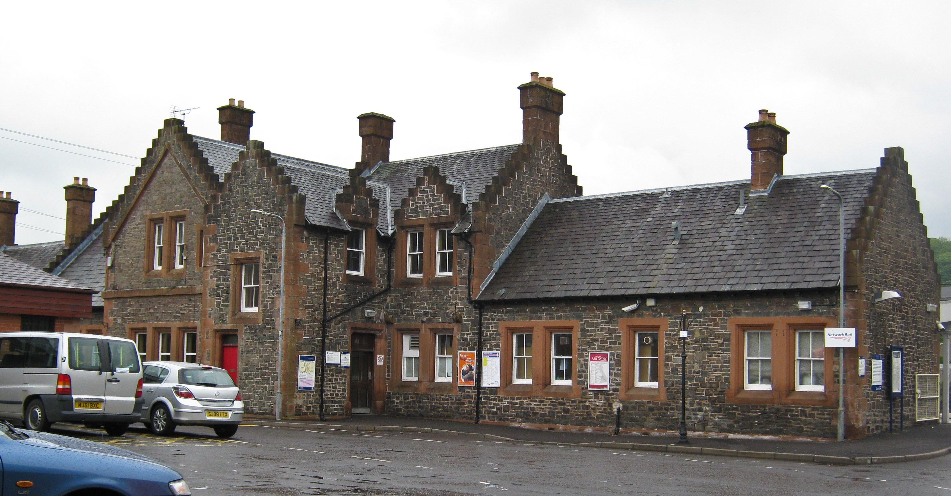
Lockerbie railway station
Lockerbie railway station is a railway station serving the town of Lockerbie, on the West Coast Main Line, Dumfries and Galloway, Scotland. It is located...

Lockerbie Town Hall
Lockerbie Town Hall is a municipal building in the High Street in Lockerbie, Dumfries and Galloway, Scotland. The structure, which is used as a venue for...
Lockerbie Academy
Lockerbie Academy is a mainstream non-denominational secondary school in Lockerbie, Scotland. The head teacher is Brian Asher. The school roll is around...
Kintail Park
Kintail Park was a football ground in Lockerbie, Scotland. It was the home ground of Mid-Annandale, and hosted Scottish Football League matches between...

Lockerbie
Lockerbie (, Scottish Gaelic: Locarbaidh) is a town in Dumfries and Galloway, south-western Scotland. It is about 120 km (75 mi) from Glasgow, and 25 km...

Dryfesdale
Dryfesdale ( DRYFSE-dayl) is a civil parish of the council area of Dumfries and Galloway, Scotland. It is part of the county of Dumfriesshire. == Overview... ==
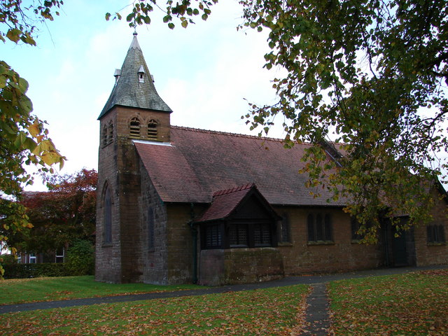
All Saints Church, Lockerbie
All Saints Church is in Ashgrove Terrace, Lockerbie, Dumfries and Galloway, Scotland. It is a Category B listed building and an active Scottish Episcopal...
Have you been to Corrielaw, South?
Leave your review of Corrielaw, South below (or comments, questions and feedback).