The Bourtrees
Wood, Forest in Ayrshire
Scotland
The Bourtrees
The Bourtrees is a picturesque woodland located in Ayrshire, Scotland. This woodland, also known as The Bourtrees Forest, is spread across an area of approximately 100 acres. It is situated near the small village of Bourtrees, which is known for its rural charm and natural beauty.
The Bourtrees is predominantly composed of native broadleaf trees, including oak, beech, and birch. These trees create a dense canopy, providing a cool and shaded environment even during the summer months. The forest floor is covered in a rich layer of leaf litter, creating a diverse habitat for a variety of flora and fauna.
Visitors to The Bourtrees can enjoy a network of well-maintained walking trails that meander through the woodland. These trails offer stunning views of the surrounding countryside and provide ample opportunities for birdwatching and wildlife spotting. The forest is home to a range of bird species, including woodpeckers, owls, and various songbirds.
The Bourtrees is not only a haven for wildlife enthusiasts but also a popular destination for outdoor activities. The forest offers excellent opportunities for hiking, cycling, and horseback riding. There are designated picnic areas and benches scattered throughout the woodland, providing a peaceful setting for visitors to relax and enjoy the natural surroundings.
Overall, The Bourtrees is a beautiful and tranquil woodland that offers a peaceful escape from the hustle and bustle of everyday life. Its diverse ecosystem and well-maintained trails make it a haven for nature lovers and outdoor enthusiasts alike.
If you have any feedback on the listing, please let us know in the comments section below.
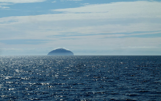
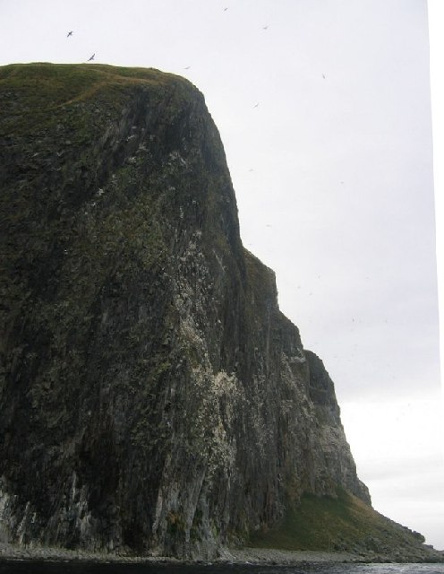
The Bourtrees Images
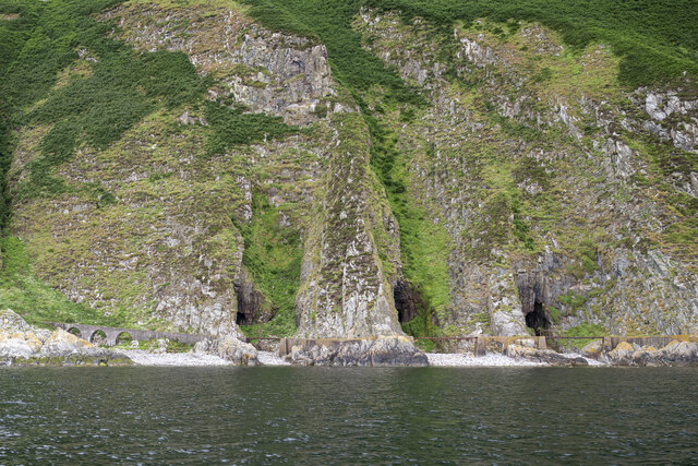
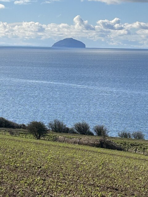
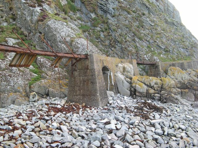
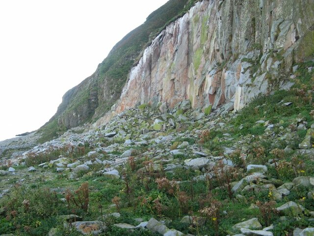
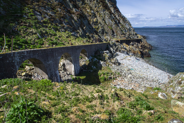
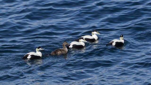
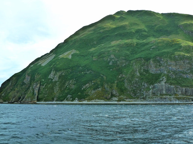
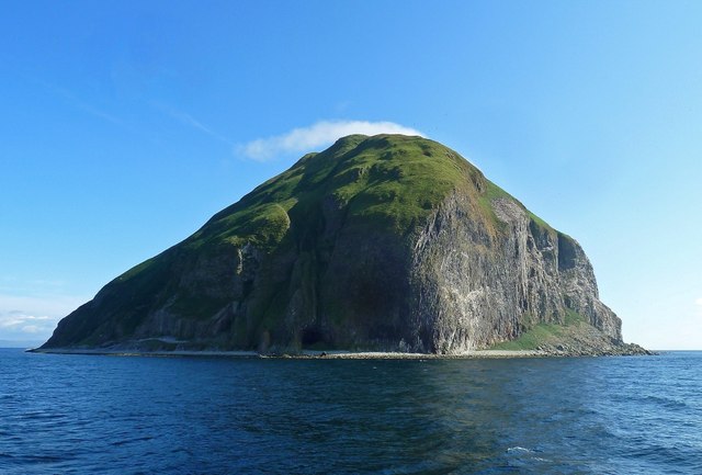
Images are sourced within 2km of 55.247127/-5.1150161 or Grid Reference NX0299. Thanks to Geograph Open Source API. All images are credited.
The Bourtrees is located at Grid Ref: NX0299 (Lat: 55.247127, Lng: -5.1150161)
Unitary Authority: South Ayrshire
Police Authority: Ayrshire
What 3 Words
///leave.typically.trickled. Near Girvan, South Ayrshire
Nearby Locations
Related Wikis
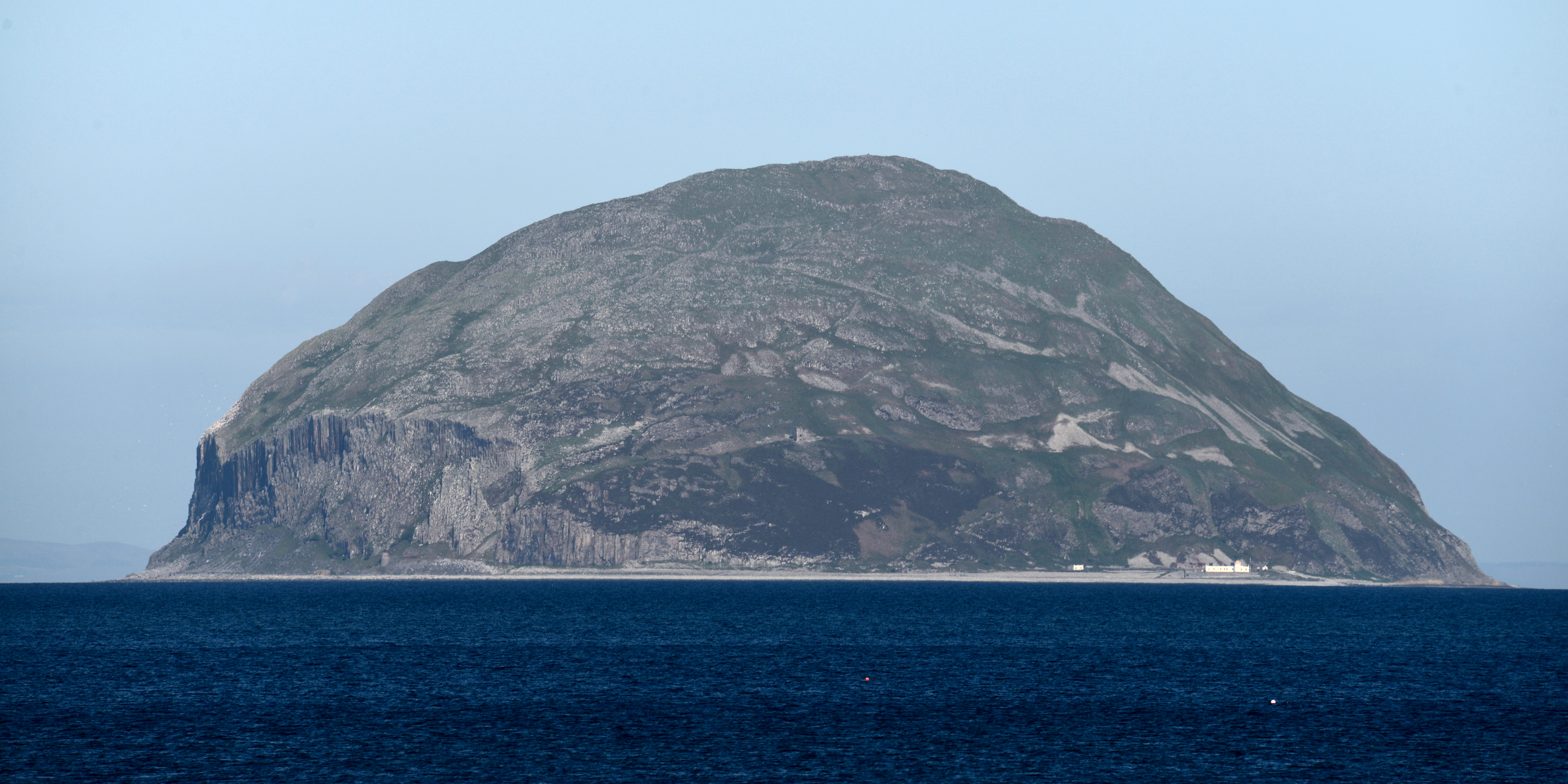
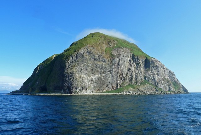
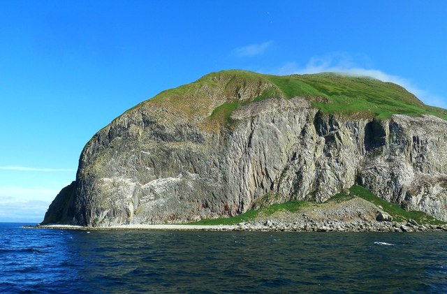
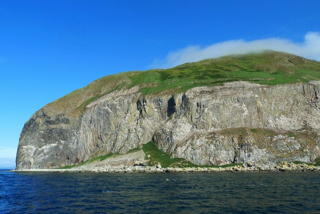
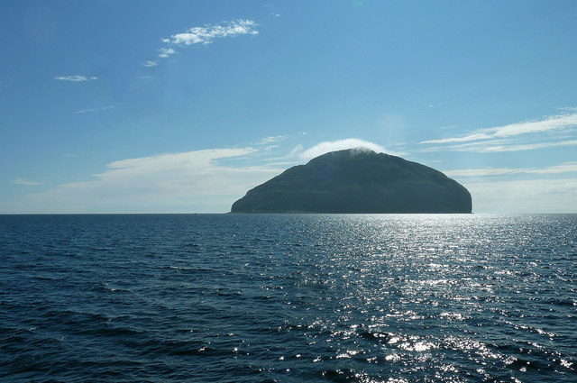
Ailsa Craig
Ailsa Craig (; Scots: Ailsae Craig; Scottish Gaelic: Creag Ealasaid) is an island of 99 ha (240 acres) in the outer Firth of Clyde, 16 km (8+1⁄2 nmi) west...

Ailsa Craig Lighthouse
The Ailsa Craig Lighthouse, is an active 19th century lighthouse located on Ailsa Craig, an island in the Firth of Clyde, just offshore from Girvan, South...
Have you been to The Bourtrees?
Leave your review of The Bourtrees below (or comments, questions and feedback).