North Port
Coastal Marsh, Saltings in Ayrshire
Scotland
North Port
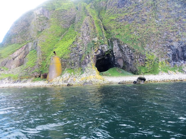
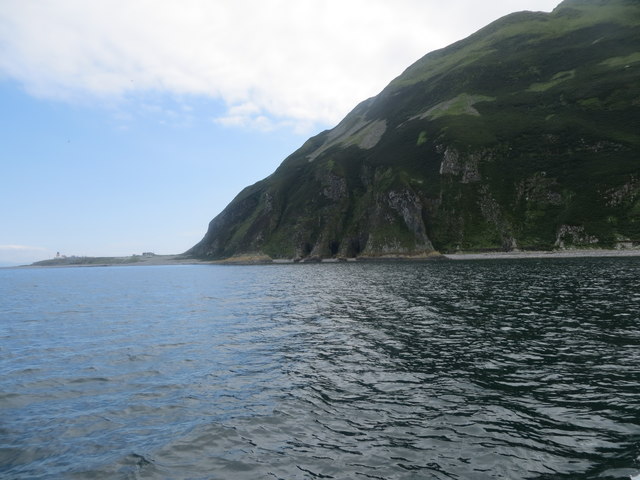
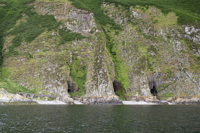
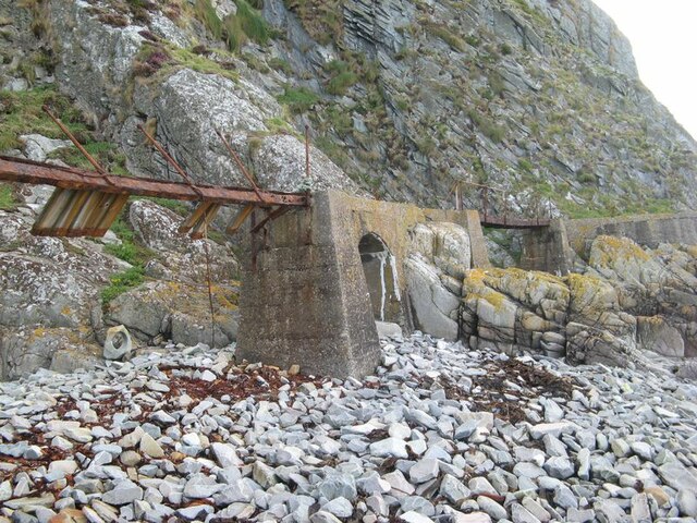
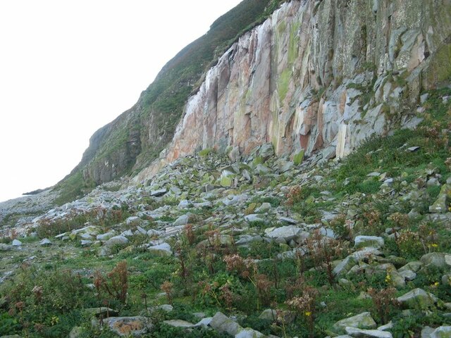
North Port, Ayrshire is a coastal marsh located on the western coast of Scotland. It is situated on the southern bank of the River Ayr, near the town of Ayr. The area is known for its unique ecosystem, characterized by vast expanses of salt marshes and saltings.
The coastal marshes of North Port are formed by the deposition of sediments carried by the river and the constant ebb and flow of tides. These marshes are home to a variety of plant and animal species that have adapted to the saline and brackish conditions. Common plant species found in the area include saltmarsh grasses, sea lavender, and sea aster.
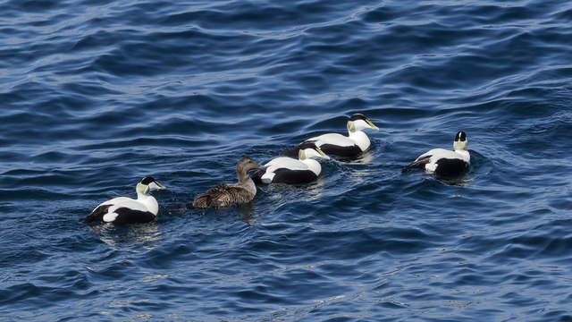
The marshes of North Port are not only important for their ecological value but also serve as a vital habitat for migratory birds. The area is a designated Special Protection Area and attracts a wide range of bird species throughout the year. Species such as redshanks, oystercatchers, and curlews can be spotted in the marshes, making it a popular destination for birdwatchers.
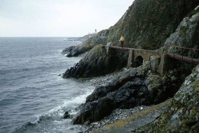
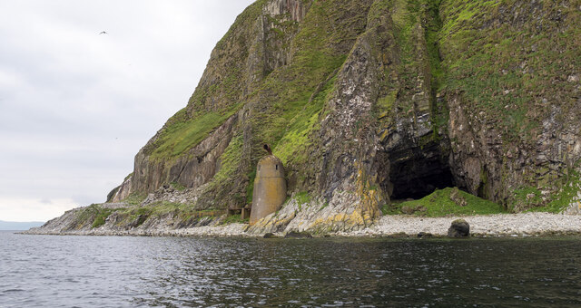
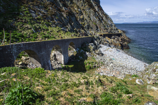
In addition to its ecological significance, North Port offers stunning views of the surrounding landscape. The marshes stretch out towards the horizon, meeting the sea on one side and blending seamlessly with the rolling hills on the other. The area is also a popular spot for leisure activities such as walking, hiking, and photography.
North Port, Ayrshire is a truly unique and picturesque location, offering a glimpse into Scotland's diverse natural beauty. It is a must-visit destination for nature enthusiasts and those seeking tranquility amidst breathtaking surroundings.
If you have any feedback on the listing, please let us know in the comments section below.
North Port Images
Images are sourced within 2km of 55.253177/-5.1093985 or Grid Reference NX0299. Thanks to Geograph Open Source API. All images are credited.
North Port is located at Grid Ref: NX0299 (Lat: 55.253177, Lng: -5.1093985)
Unitary Authority: South Ayrshire
Police Authority: Ayrshire
What 3 Words
///fact.emulating.store. Near Girvan, South Ayrshire
Nearby Locations
Related Wikis

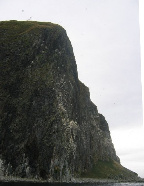
Ailsa Craig Lighthouse
The Ailsa Craig Lighthouse, is an active 19th century lighthouse located on Ailsa Craig, an island in the Firth of Clyde, just offshore from Girvan, South...
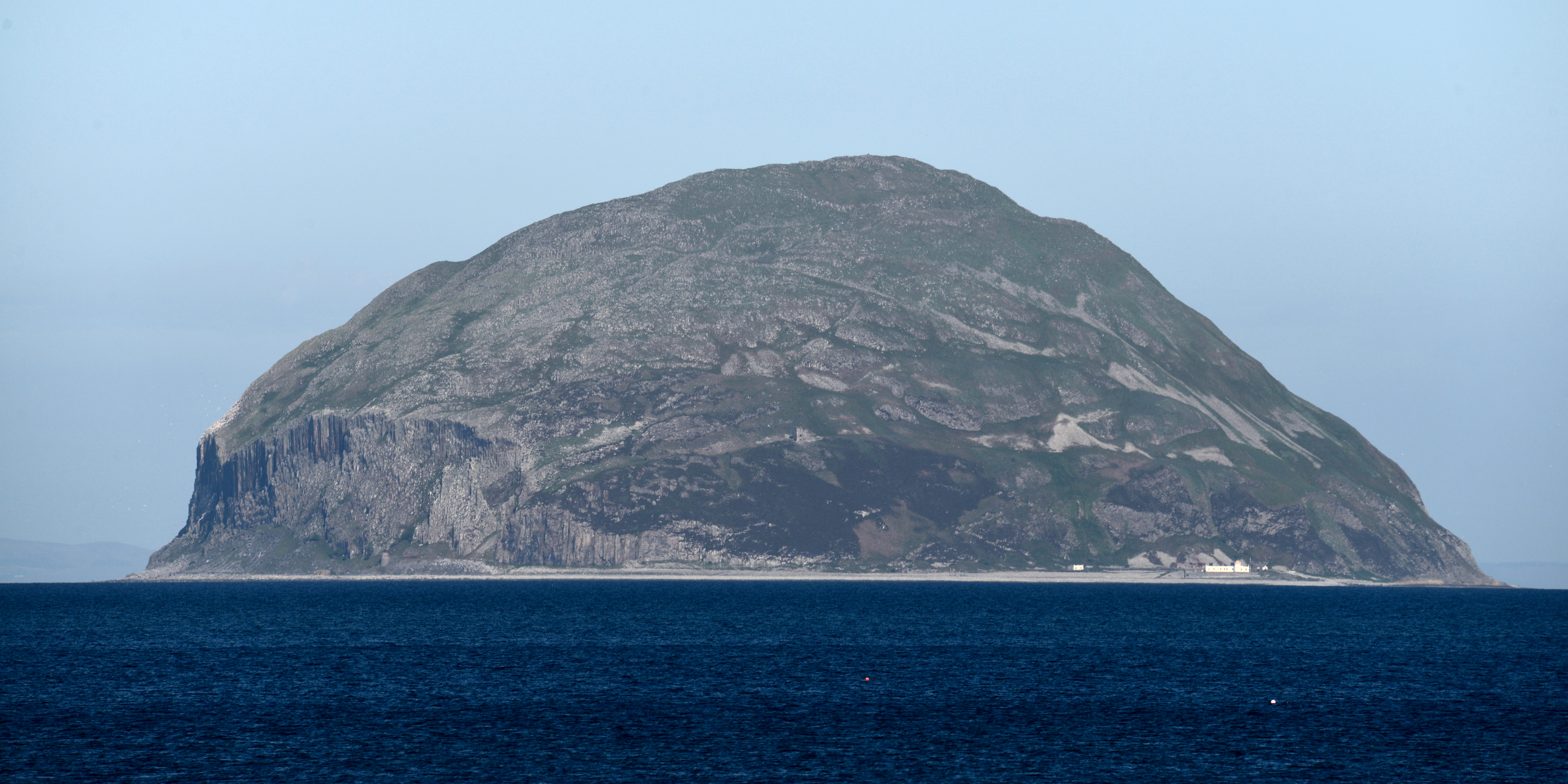
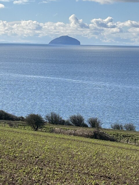
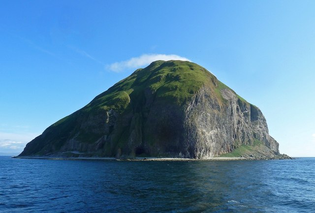
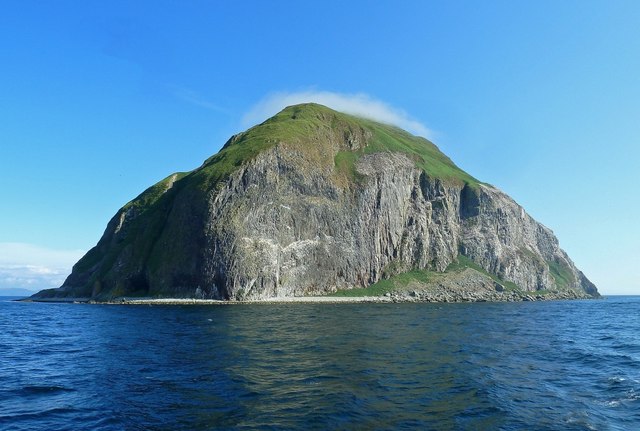
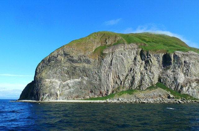
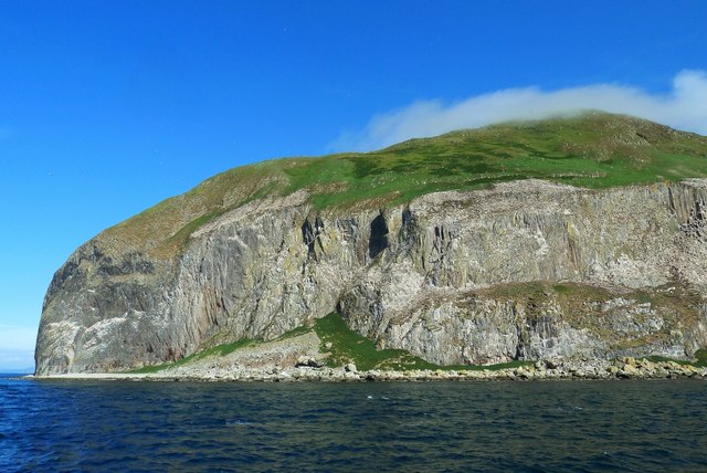
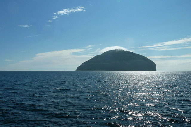
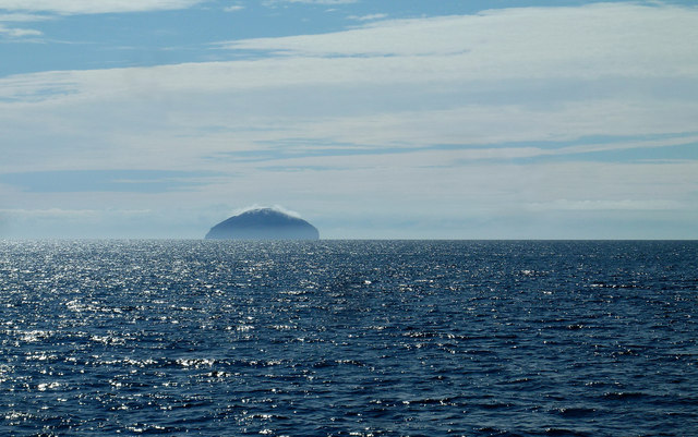
Ailsa Craig
Ailsa Craig (; Scots: Ailsae Craig; Scottish Gaelic: Creag Ealasaid) is an island of 99 ha (240 acres) in the outer Firth of Clyde, 16 km (8+1⁄2 nmi) west...
Nearby Amenities
Located within 500m of 55.253177,-5.1093985Have you been to North Port?
Leave your review of North Port below (or comments, questions and feedback).