East Trammins
Cliff, Slope in Ayrshire
Scotland
East Trammins
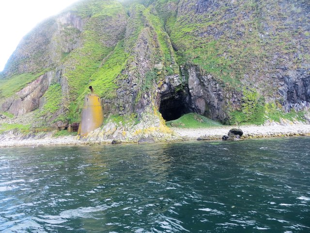
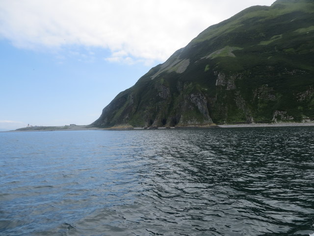
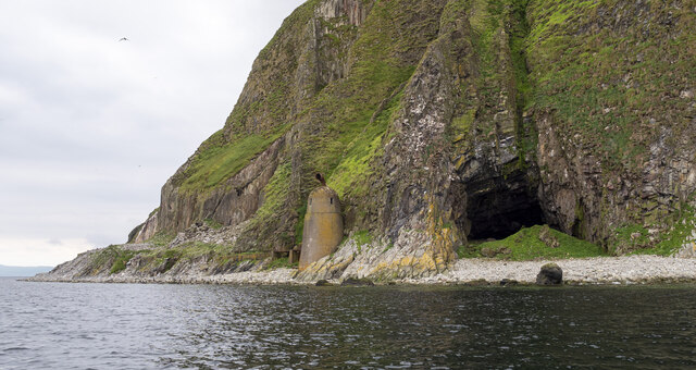
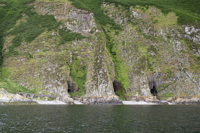
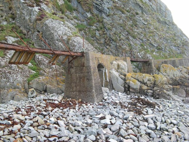
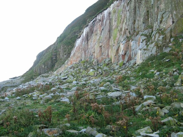
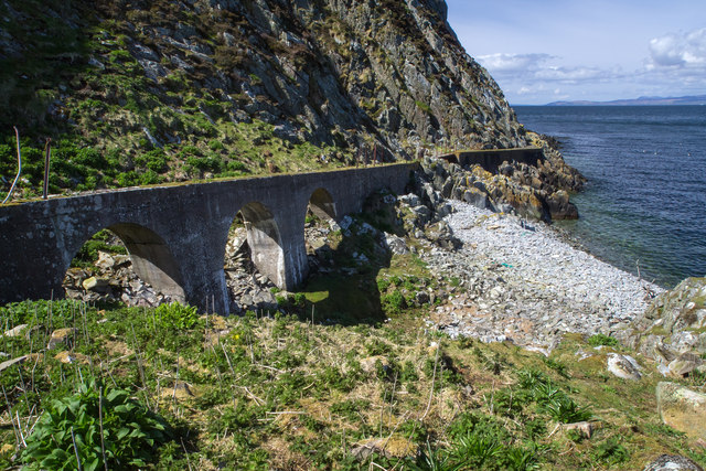
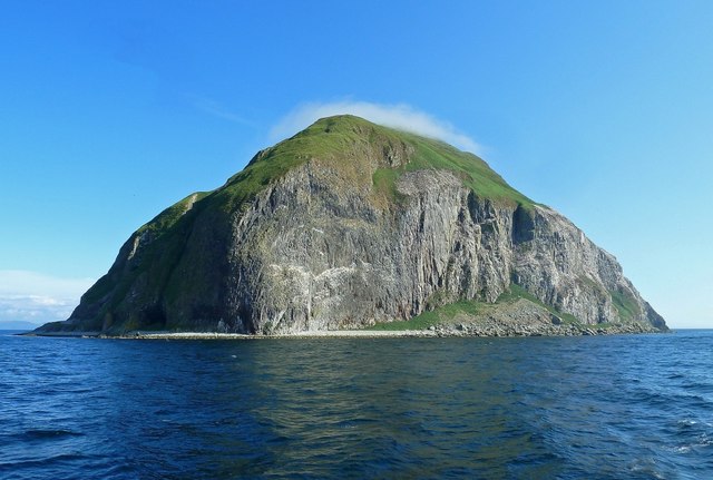
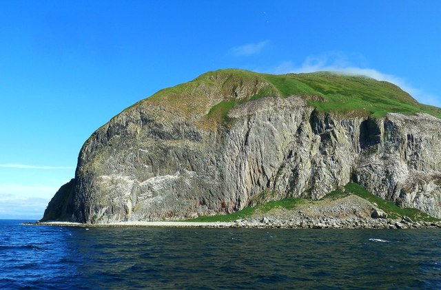
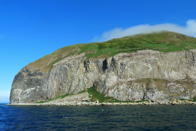
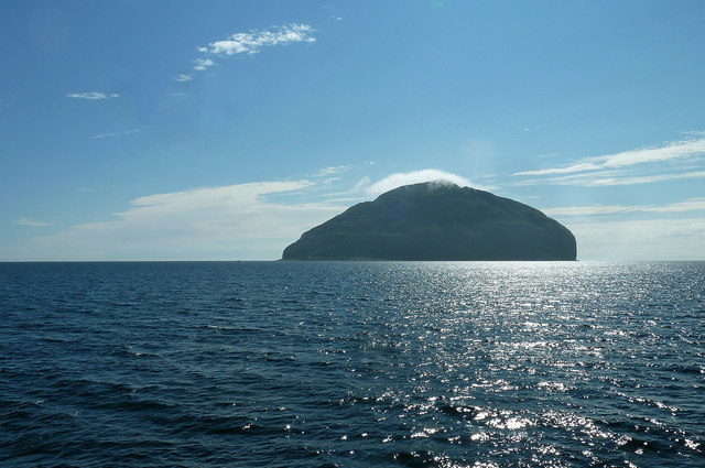
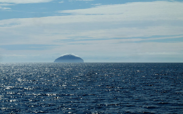
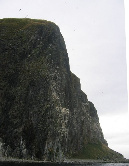
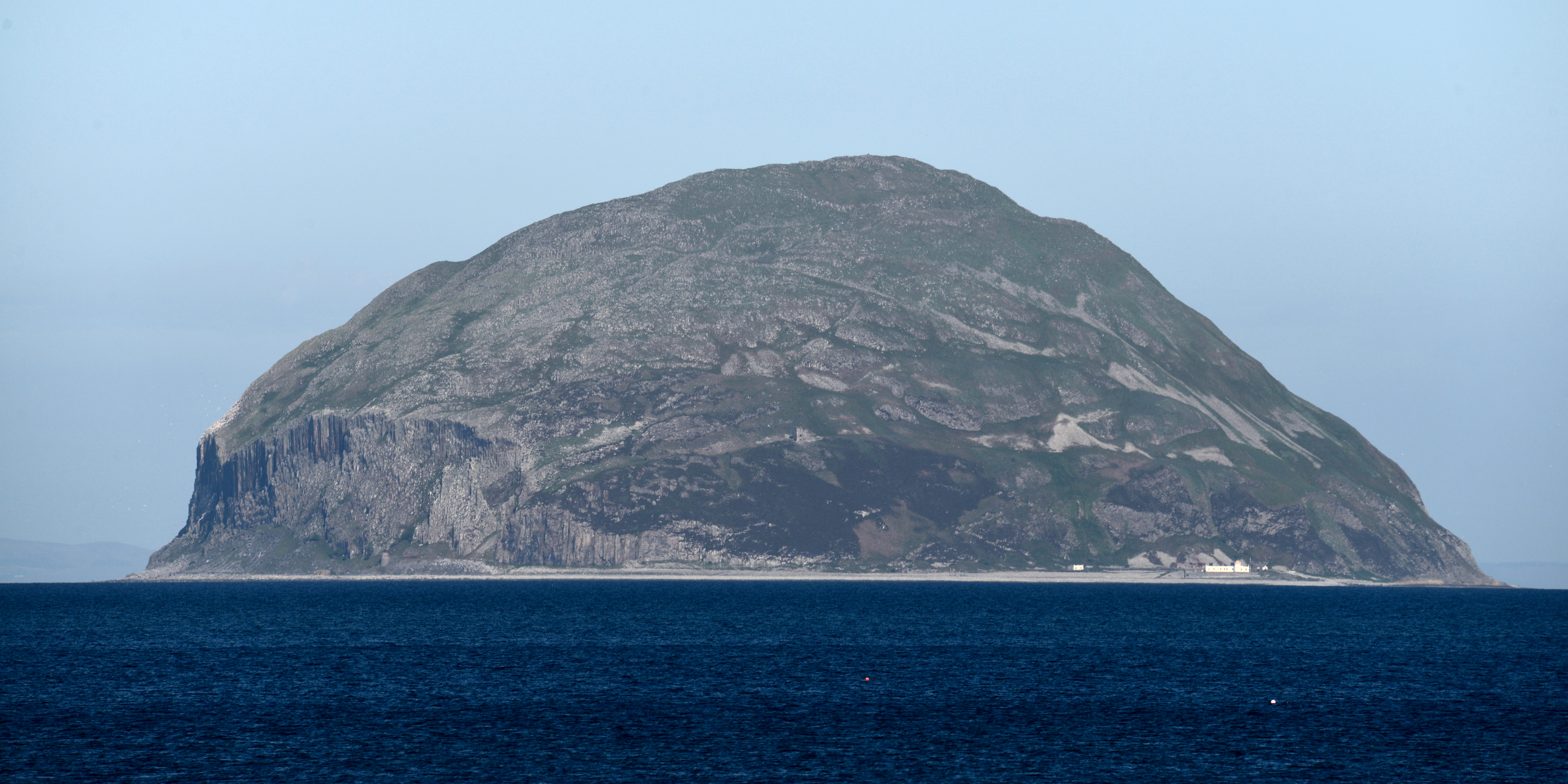
East Trammins is a picturesque coastal area located in Ayrshire, Scotland. Known for its stunning cliffs and slopes, it offers a breathtaking natural landscape. The cliffs at East Trammins are made of sedimentary rock layers, showcasing a diverse geological history.
Rising several meters above the sea level, the cliffs provide a dramatic backdrop to the coastal scenery. They feature intricate patterns and distinct color variations, offering a glimpse into the region's geological past. The layers of rock reveal the gradual deposition of sediments over millions of years, providing valuable insights for geologists and nature enthusiasts alike.
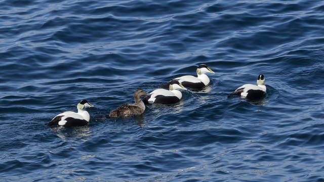
The slopes at East Trammins are equally impressive, offering a range of gradients and terrains. Covered in lush vegetation, these slopes provide a habitat for a variety of flora and fauna. The combination of the cliffs and slopes creates a diverse ecosystem, attracting numerous bird species, including gulls and cormorants.
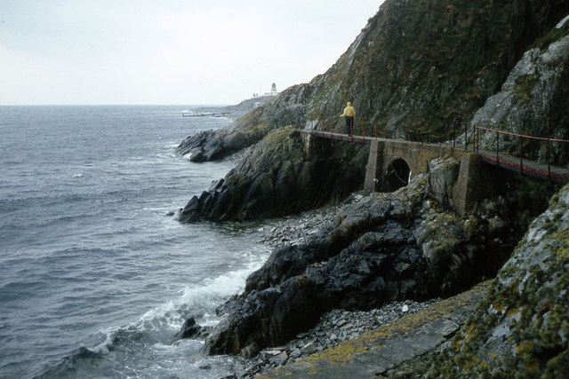
Visitors to East Trammins can enjoy panoramic views of the coastline from various vantage points along the cliffs. The area is a haven for hikers and nature lovers, with well-maintained trails that wind their way through the slopes. These trails offer opportunities to discover hidden coves, secluded beaches, and even ancient ruins.
East Trammins is a popular destination for photographers, as the cliffs and slopes provide incredible photo opportunities. The changing light throughout the day adds an ethereal quality to the landscape, making it a haven for capturing stunning images.
Overall, East Trammins in Ayrshire is a natural wonder, showcasing the beauty and diversity of Scotland's coastal areas. Its cliffs and slopes offer a unique experience for visitors, with their striking geological formations and breathtaking views.
If you have any feedback on the listing, please let us know in the comments section below.
East Trammins Images
Images are sourced within 2km of 55.247838/-5.1143163 or Grid Reference NX0299. Thanks to Geograph Open Source API. All images are credited.
East Trammins is located at Grid Ref: NX0299 (Lat: 55.247838, Lng: -5.1143163)
Unitary Authority: South Ayrshire
Police Authority: Ayrshire
What 3 Words
///claims.flocking.mooring. Near Girvan, South Ayrshire
Nearby Locations
Related Wikis
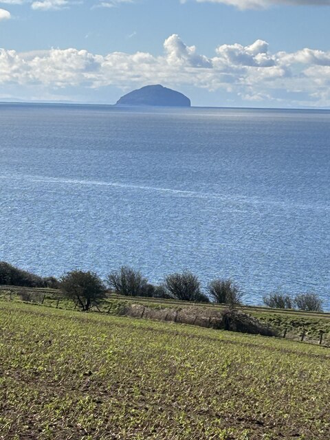
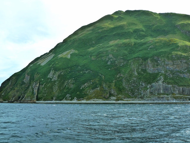
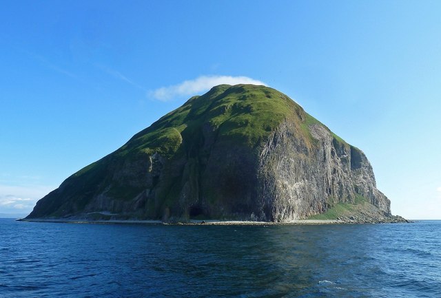
Ailsa Craig
Ailsa Craig (; Scots: Ailsae Craig; Scottish Gaelic: Creag Ealasaid) is an island of 99 ha (240 acres) in the outer Firth of Clyde, 16 km (8+1⁄2 nmi) west...

Ailsa Craig Lighthouse
The Ailsa Craig Lighthouse, is an active 19th century lighthouse located on Ailsa Craig, an island in the Firth of Clyde, just offshore from Girvan, South...
Have you been to East Trammins?
Leave your review of East Trammins below (or comments, questions and feedback).