Garraloo
Coastal Feature, Headland, Point in Ayrshire
Scotland
Garraloo
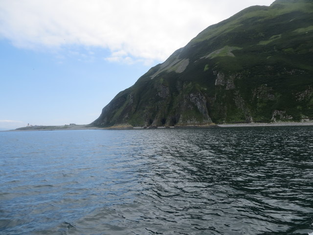
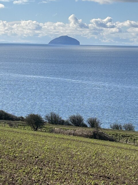
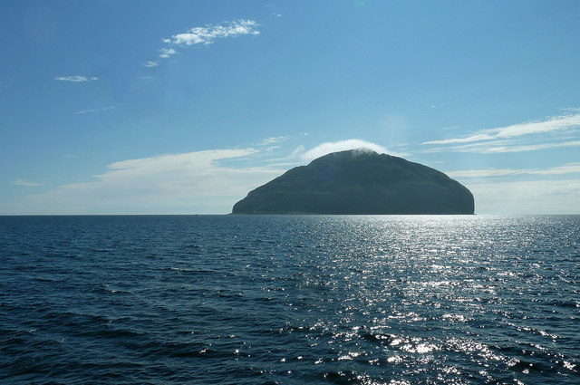
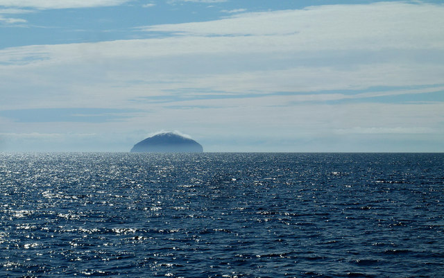
Garraloo is a prominent headland located in Ayrshire, a county on the southwestern coast of Scotland. Situated along the stunning Ayrshire coastline, this coastal feature offers breathtaking views of the surrounding areas and the vast Atlantic Ocean.
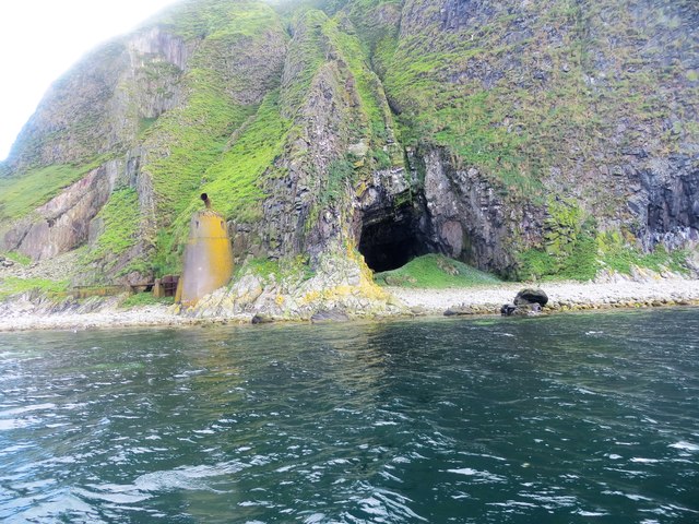
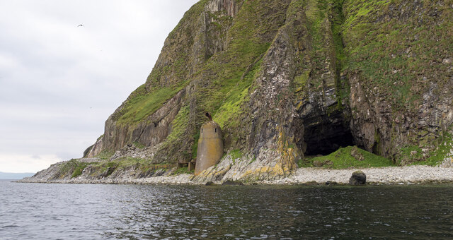
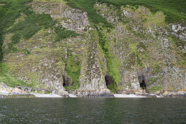
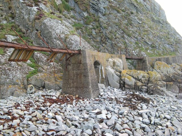
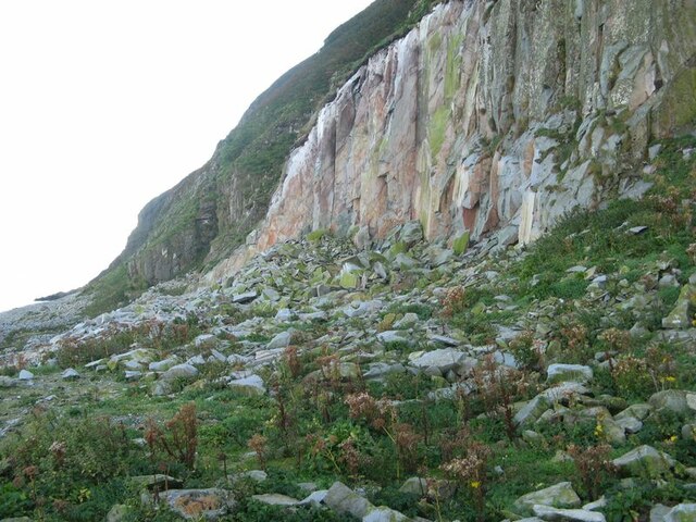
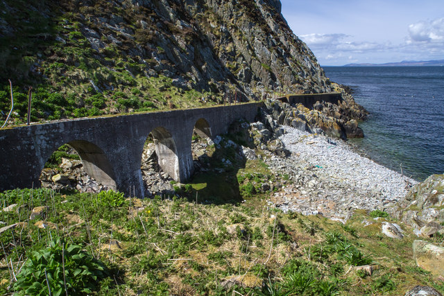
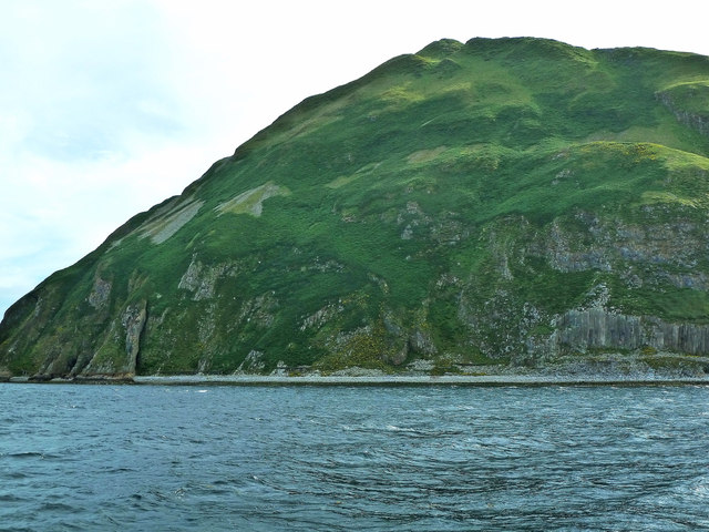
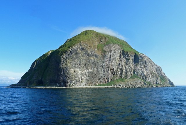
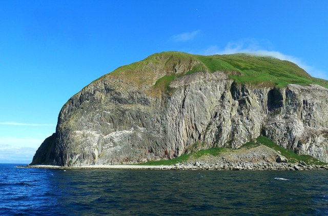
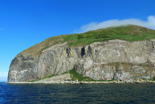
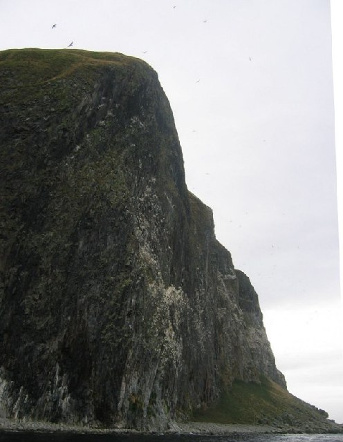
The headland is characterized by its rugged cliffs, which rise steeply from the sea, providing a dramatic backdrop to the coastal landscape. The cliffs of Garraloo are composed of various rock formations, including sandstone and shale, which have been shaped and carved by the relentless crashing of the waves over time.
At the top of the headland, there is a grassy plateau, offering visitors a picturesque spot to admire the panoramic vistas. From this vantage point, one can see the vast expanse of the ocean, as well as the neighboring coastline and the rolling hills of Ayrshire.
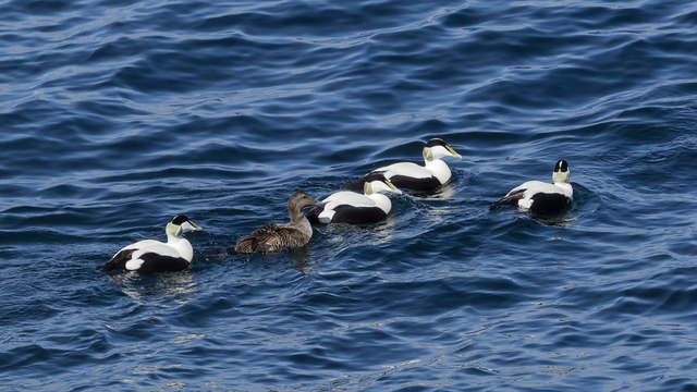
Garraloo is also known for its rich wildlife. The headland provides a habitat for various seabirds, including gulls, cormorants, and fulmars. The surrounding waters are home to a diverse array of marine life, such as seals, dolphins, and occasionally even whales.
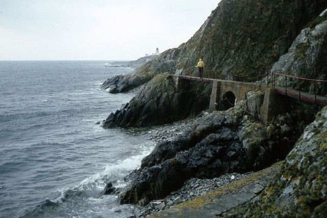
The headland is a popular destination for outdoor enthusiasts, who come to enjoy activities such as hiking, birdwatching, and photography. Its coastal location also makes it a favored spot for fishing and coastal walks.
Garraloo in Ayrshire offers visitors a chance to immerse themselves in the natural beauty of Scotland's coastline, providing a tranquil escape from the hustle and bustle of everyday life.
If you have any feedback on the listing, please let us know in the comments section below.
Garraloo Images
Images are sourced within 2km of 55.250056/-5.1154657 or Grid Reference NX0299. Thanks to Geograph Open Source API. All images are credited.
Garraloo is located at Grid Ref: NX0299 (Lat: 55.250056, Lng: -5.1154657)
Unitary Authority: South Ayrshire
Police Authority: Ayrshire
What 3 Words
///revisit.products.breakfast. Near Girvan, South Ayrshire
Nearby Locations
Related Wikis
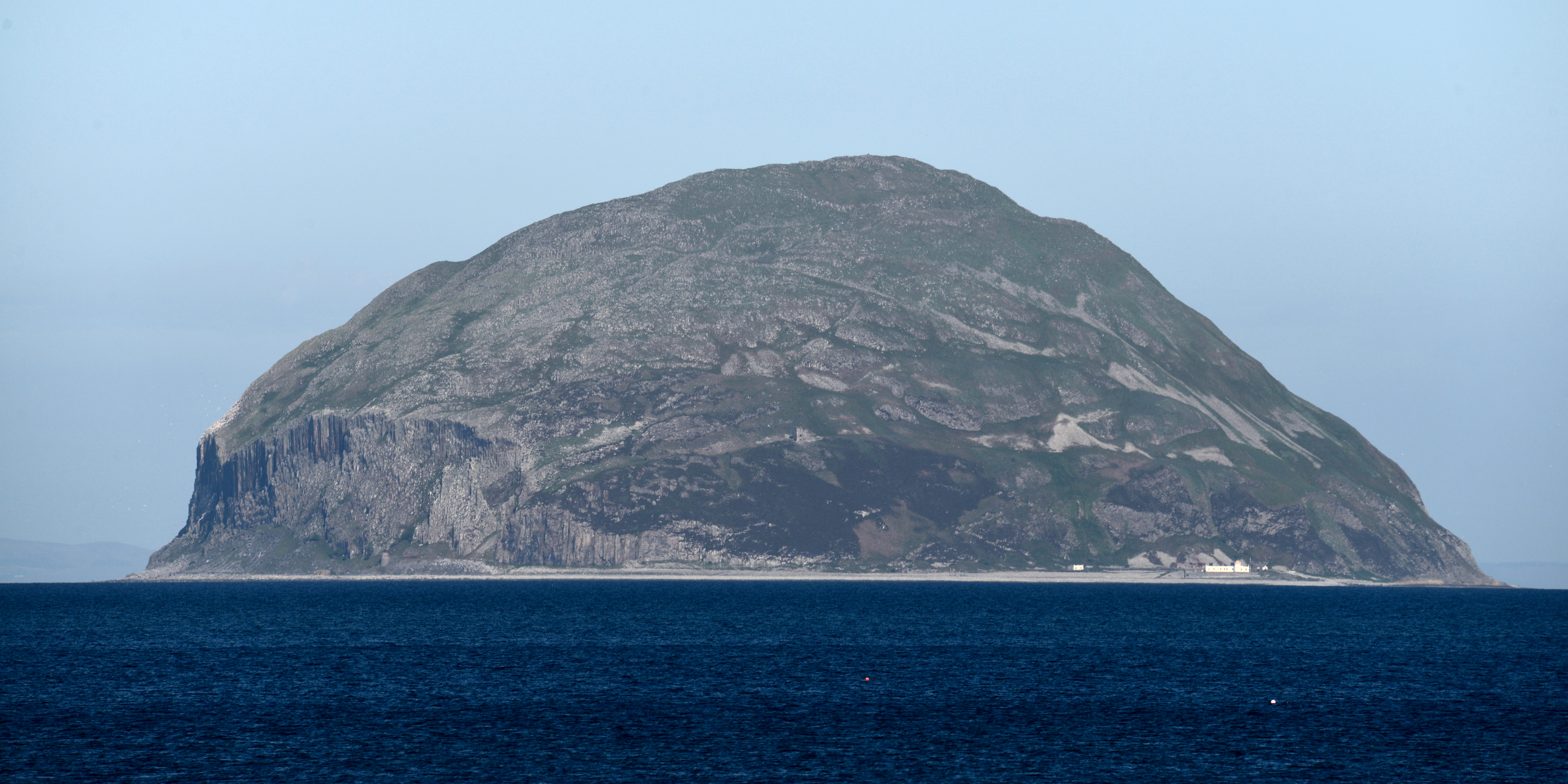
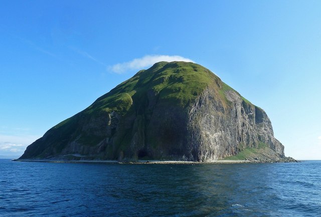
Ailsa Craig
Ailsa Craig (; Scots: Ailsae Craig; Scottish Gaelic: Creag Ealasaid) is an island of 99 ha (240 acres) in the outer Firth of Clyde, 16 km (8+1⁄2 nmi) west...

Ailsa Craig Lighthouse
The Ailsa Craig Lighthouse, is an active 19th century lighthouse located on Ailsa Craig, an island in the Firth of Clyde, just offshore from Girvan, South...
Nearby Amenities
Located within 500m of 55.250056,-5.1154657Have you been to Garraloo?
Leave your review of Garraloo below (or comments, questions and feedback).